ルート

プランナー

機能

アップデート

App

ログインまたはサインアップ

アプリを入手

ログインまたはサインアップ

ルート
Places to see
Canyons
北米

カナダ

カナダの峡谷・トップ20

カナダには 20
の息を呑むほど美しい峡谷があります。以下に紹介する必見の峡谷一覧に掲載されている写真、おすすめ情報、その他のデータを参考にして、次の冒険でカナダの美しい峡谷を訪れる際に役立てましょう。

最終更新日: 7月 6, 2026

アサバスカ滝

ハイライト • 滝

There is a short and easy path along the Athabasca Canyon, it's rather a walk than a hike. Also it's most likely that there will be lots of tourists visiting the canyon. Nevertheless, do not miss it, if you are around. It's a really nice place.

役立つ情報

によるものです

ここでのハイキングを見る

スマートフォンに送信

保存

ジョンストン渓谷の滝

ハイライト • 滝

The lower Johnston Falls are very easy to reach, but a completely wet experience. Plan this trip as a "day off" or an easy start before moving on to more challenging destinations, as it really doesn't take much to get there and enjoy some beautiful views.

役立つ情報

によるものです

保存

今すぐサインアップして、こんな場所を発見しよう

最高のシングルトラック、ピーク、その他のエキサイティングなアウトドアスポットのおすすめを受け取ろう。

無料新規登録

リンキャニオン

ハイライト • 峡谷

Park closed at 7pm

役立つ情報

によるものです

保存

マリニェ・キャニオン登山口

ハイライト • 渓谷

A breathtaking canyon with swirls, waterfalls, ice and rocks. Several bridges lead over the canyon, so you can even better look down into the gorge. At one point, the Maligne River has cut into the rock up to 50 meters deep. But beware: Since the canyon is also accessible by car, it can be very crowded, depending on the year and time.

翻訳者 Google •

役立つ情報

によるものです

保存

ブランディワイン滝

ハイライト • 滝

Brandywine Falls is a spectacular sight, a dramatic waterfall curtain surrounded by forest in the Cheakamus Valley between Squamish and Whistler. From this viewing platform you can watch the mesmerising water tumble 230 feet (70 m) to the creek below. We visited in September and it was quiet.

役立つ情報

によるものです

保存

スパハッツ・クリーク滝

ハイライト • 滝

Spahats Creek flows west from the Trophy Mountains, crossing the area's basalt formation. Upstream of Spahats Creek Falls, the creek has carved itself into a 23-meter-deep gorge and then plunges over the waterfall 61 meters into a massive canyon, emptying into the Clearwater River a few hundred meters later.
The canyon is the result of glacial meltwater that flowed over the edge of the Clearwater Valley about 11,000 years ago. After the Ice Age, the stream receded into the comparatively small Spahats Creek.
Spahats Creek was once known as Bear Creek. Spahats is a native word for bear.
(Visit June 3, 2018)
worldwaterfalldatabase.com/waterfall/Spahats-Creek-Falls-2293

役立つ情報

によるものです

保存

アッパー・サンワプタ滝

ハイライト • 滝

From the bridge you have a wonderful view down into the canyon, provided you don't suffer from vertigo.

翻訳者 Google •

役立つ情報

によるものです

保存

オーバーランダー滝

ハイライト • 滝

Overlander Falls is located in Mount Robson Park and is the largest waterfall on the Fraser River. The falls is a short walk from the Yellowhead Highway. It plunges about nine metre over a smooth rock ledge into a large pool. Downstream from the falls, the river narrows into a gorge.
The Falls were named after the ‘overlanders’, gold prospectors who travelled down the Fraser River Valley to the Cariboo Mountains in search of gold in the 1860s.
(Visit June 2, 2018)
worldwaterfalldatabase.com/waterfall/Overlander-Falls-2372

役立つ情報

によるものです

保存

エルク滝

ハイライト • 滝

The 27-meter-high Elk Falls are located in Elk Falls Provincial Park near the town of Campbell River. Since 1948, the waters of the river of the same name have been dammed by John Hart Reservoir and largely diverted for hydroelectric power generation. The waterfall maintains a constant flow year-round, although this flow never reaches its original levels.
worldwaterfalldatabase.com/waterfall/Elk-Falls-1910
The Campbell River Hydroelectric Facilities Discovery Centre/Museum at Campbell River displays a photo from December 2016, when BC Hydro released large amounts of water from John Hart Lake to reduce flood risk, plunging it over Elk Falls into the gorge.

役立つ情報

によるものです

保存

リヴィエール・ア・マル渓谷

ハイライト • 峡谷

The Rivière-à-Mars is a tributary of the Saguenay Fjord in the Saguenay–Lac-Saint-Jean administrative region in the east of the Canadian province of Quebec. This part is easy to hike and is very wild and really worth seeing.

The Rivière-à-Mars rises in the Laurentian Mountains in the Laurentides Wildlife Reserve. From there it flows in a predominantly northerly direction. It takes in the Rivière à Mars Nord-Ouest on the left. Shortly before reaching the town of La Baie, which is part of Saguenay, it flows through a 700-meter-long gorge. It then turns east-northeast, flows through the center of La Baie and finally flows into the Baie des Ha! Ha! on the south bank of the Saguenay Fjord. The Rivière-à-Mars is 129 kilometers long. It drains an area of 660 square kilometers. To the east, its catchment area borders that of the Rivière Ha! Ha!, which also flows into the Baie des Ha! Ha!. To the west is the catchment area of the Rivière du Moulin, which flows into the Rivière Saguenay in Chicoutimi. The average discharge of the Rivière-à-Mars is 14 cubic meters per second.

翻訳者 Google •

役立つ情報

によるものです

保存

無料でサインアップして、さらに多くの峡谷を発見しましょう カナダでの。

無料新規登録

すでにアカウントをお持ちですか?

無料アカウントで今日から始めよう

次の冒険が待っています。

ログインまたは登録

カナダ周辺で人気

大人のための就寝前アドベンチャーストーリー

チルクートトレイル — そびえ立つ山々の間のゴールドラッシュの歴史

グレート・ディバイド・マウンテンバイク・ルート - 大陸の背骨をサイクリング
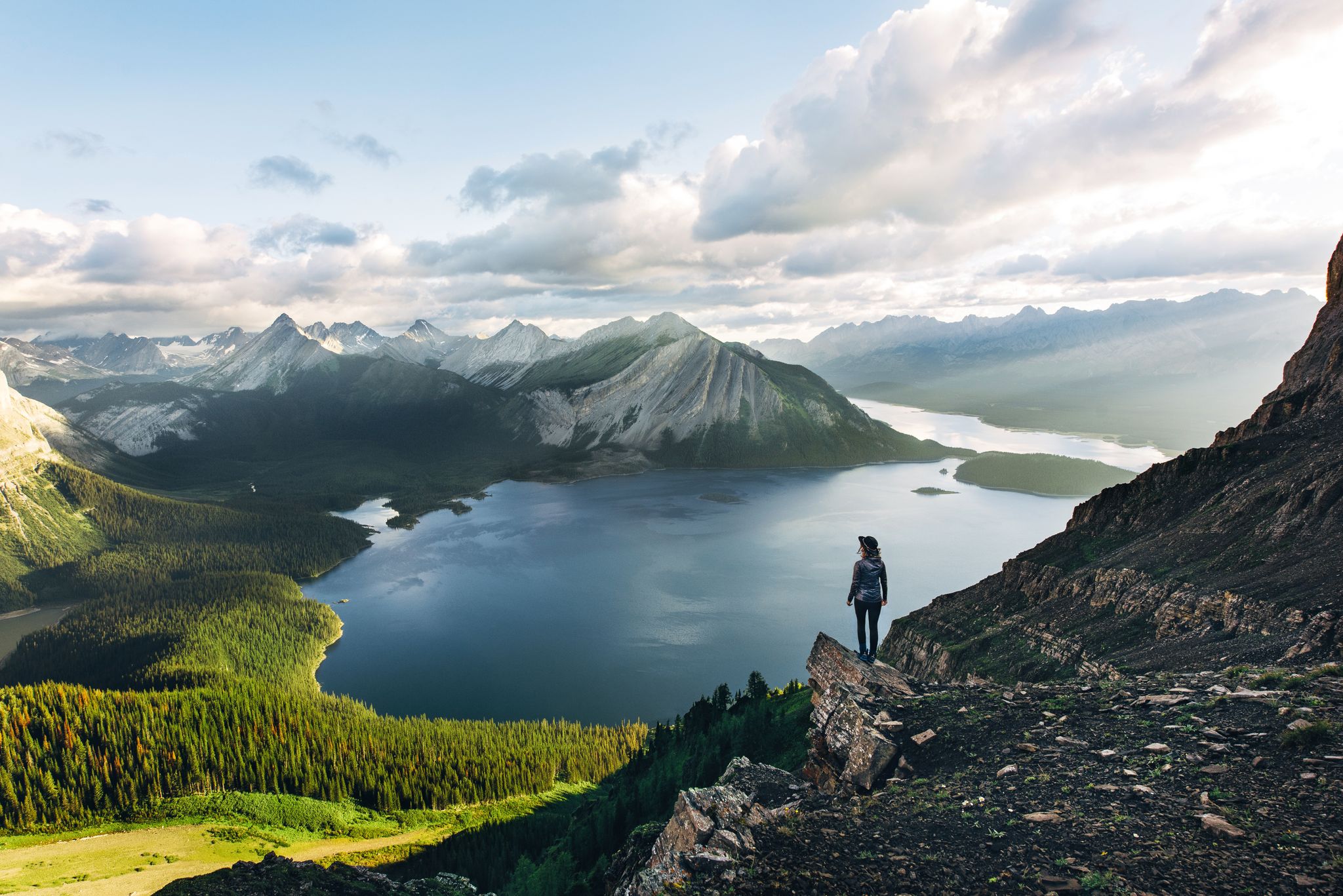
Long-distance hiking in Canada – between mountains and coast

Cross Canada Ride — 東へ6,800km進む

4,200キロメートルの荒野 - 太平洋水分線トレイルからメキシコにカナダ

BC エピック 1000
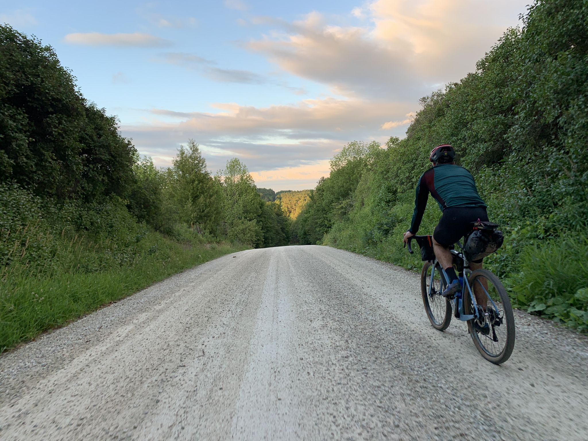
BT700 - オンドランド大 3 日のエンドルーム

アルアランドの入力が80日な
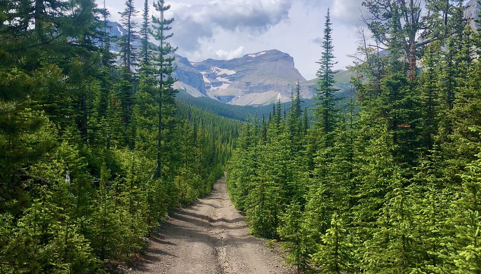
ロッキー山脈を走れ - マウンテンランジングファストパッキング #5

カナダでのの他の冒険

大人のための就寝前アドベンチャーストーリー

コレクション によって

Anna McNuff

コミュニティからのヒント

J. Becker
5月 13, 2026, Brandywine Falls

必見

Google翻訳による翻訳

0

0

Nice information centre about the area.

Google翻訳による翻訳

3

0

A really beautiful place to walk.

Google翻訳による翻訳

3

0

A bit crowded but still a nice stop

Google翻訳による翻訳

0

0

I have done this at the end of July. While it is as everybody describes, easy to the lower falls and not super hard to the upper falls, it was extremely crowded and it felt more like cattle drive up there. I suggest do this very early in the morning or evening there is probably less traffic.

0

0

From the southern vantage point of Brandywine Falls, you have a magnificent view of Daisy Lake Reservoir and Black Tusk Mountain in the Garibaldi Ranges of the Coast Mountains. The Daisy Lake Reservoir was created in 1926 after the construction of the Cheakamus Dam; the dam was replaced in 1984. The reservoir is part of the Cheakamus Hydroelectric Power Plant on the Squamish River. https://www.bchydro.com/energy-in-bc/operations/transmission-reservoir-data/previous-reservoir-elevations/lower-mainland/daisy_lake_dsy.html

0

0

The Ecology Centre in Lynn Canyon Park has existed since 1971 and is managed by the District of North Vancouver’s Parks Department. It serves as both a museum and information centre, also providing educational opportunities about nature and the environment to the public. https://ecologycentre.ca/ecology-centre/

3

0

Lynn Canyon Park is located in a temperate rainforest. The public park is open year-round and is managed by the District of North Vancouver. Admission is free, however, parking at the Lynn Canyon Ecology Centre is subject to a fee during the months of March through October - $3 per hour. The Lynn Canyon Suspension Bridge is the park's main attraction. To the north there are two considerably larger nature reserves, the Lynn Headwaters Regional Park in the upper Lynn Valley and the Lower Seymour Conservation Reserve in the valley of the Seymour River. https://ecologycentre.ca/park-history/

3

0

カナダでのの人気ルート

カナダでのハイキング

カナダでのの人気観光スポット

Natural Monuments

Store rating

komootモバイルアプリでインスピレーションを得よう

無料のkomootアカウントがあれば、無限のアウトドアコースを簡単に見つけてカスタマイズし、ナビで案内できます。

または

今すぐkomootに参加しよう

Store rating

探していたものは見つかりませんでしたか?

さらに多くの渓谷を見たいですか?地域ごとの最高のものを見てみましょうカナダでの:

ノバスコシアケベックオンタリオニューブランズウィックブリティッシュコロンビアアルバータ

さらに探索

この地域で全てを発見しましたか?次の冒険のために追加の渓谷を見てみましょうカナダでの:

探索できるほかのスポット

近くのアドベンチャーガイド

マニトバでやるべきこと

background

新しいピークを征服する準備をしよう

無料でサインアップ

探検する
ルートルートプランナー機能ハイキングMTBトレイルロードバイクルートバイクパッキングサイトマップ
アプリをダウンロード
SNSでフォローする

© komoot GmbH

プライバシーポリシー