クレザンシー-アン-サンセールでののおすすめグラベルライド
4.0
(7)
25
ライダー
6
ライド
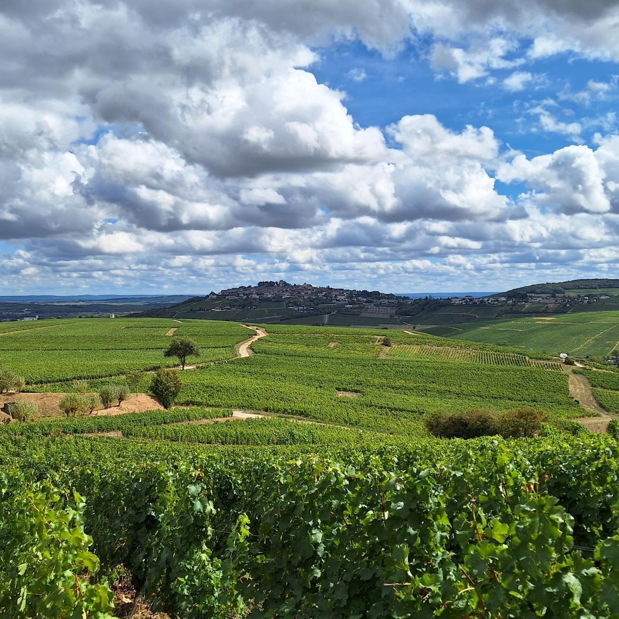
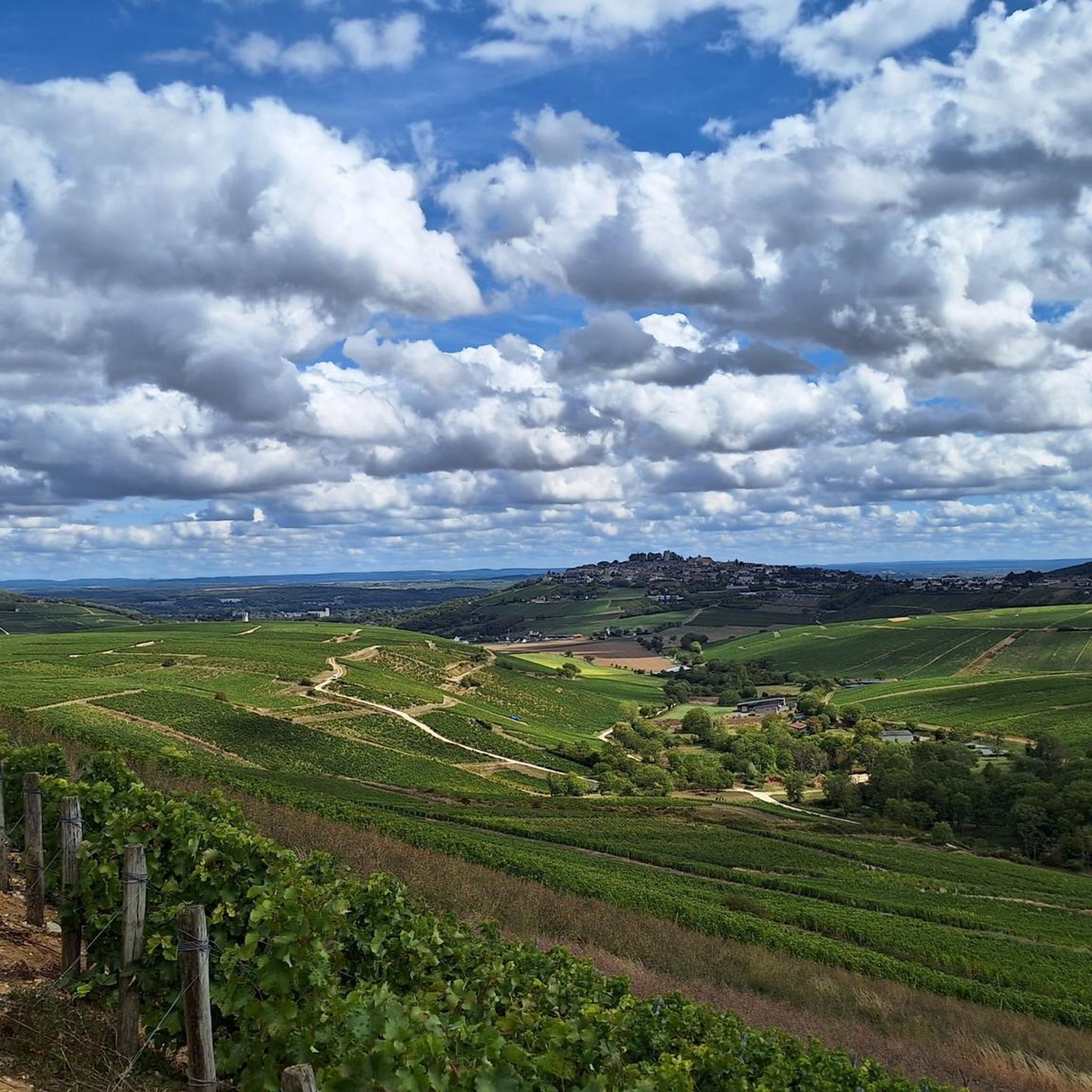
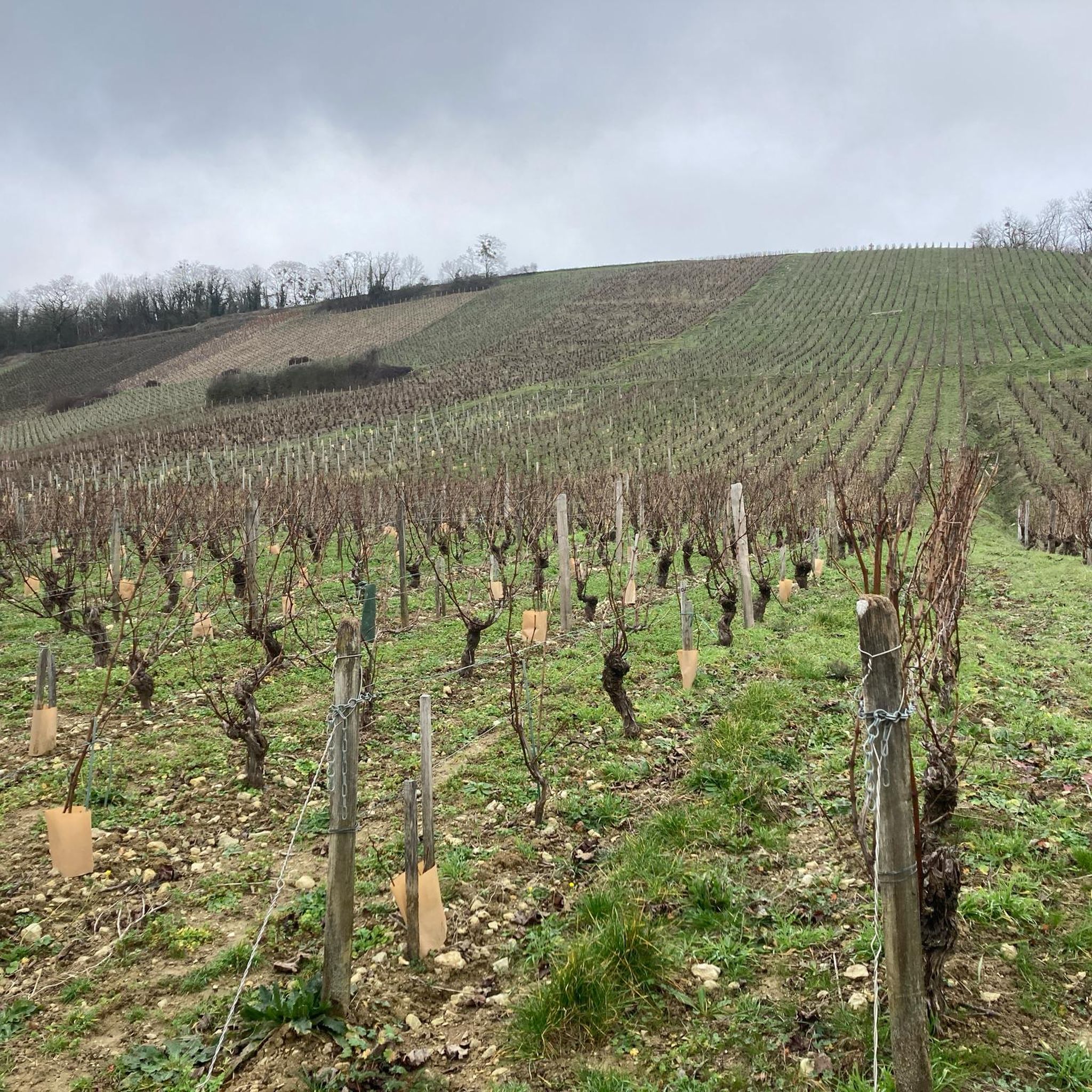
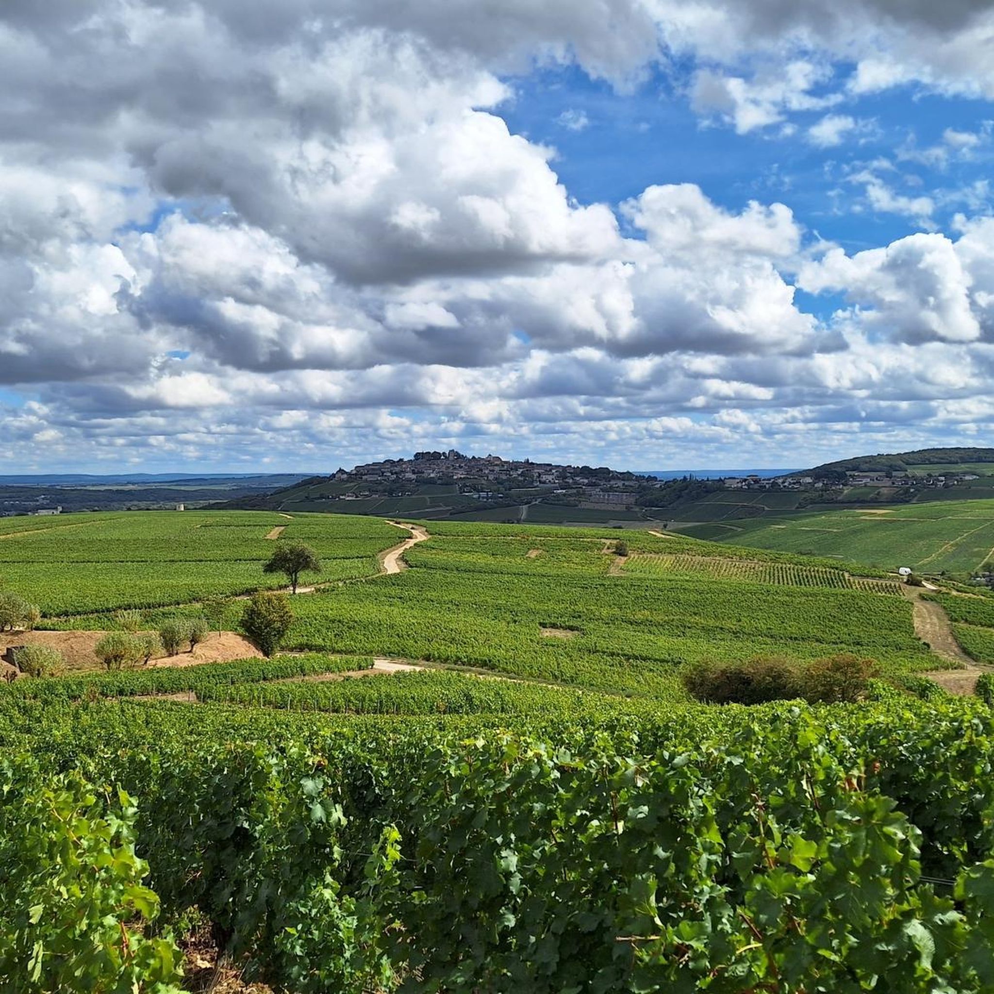
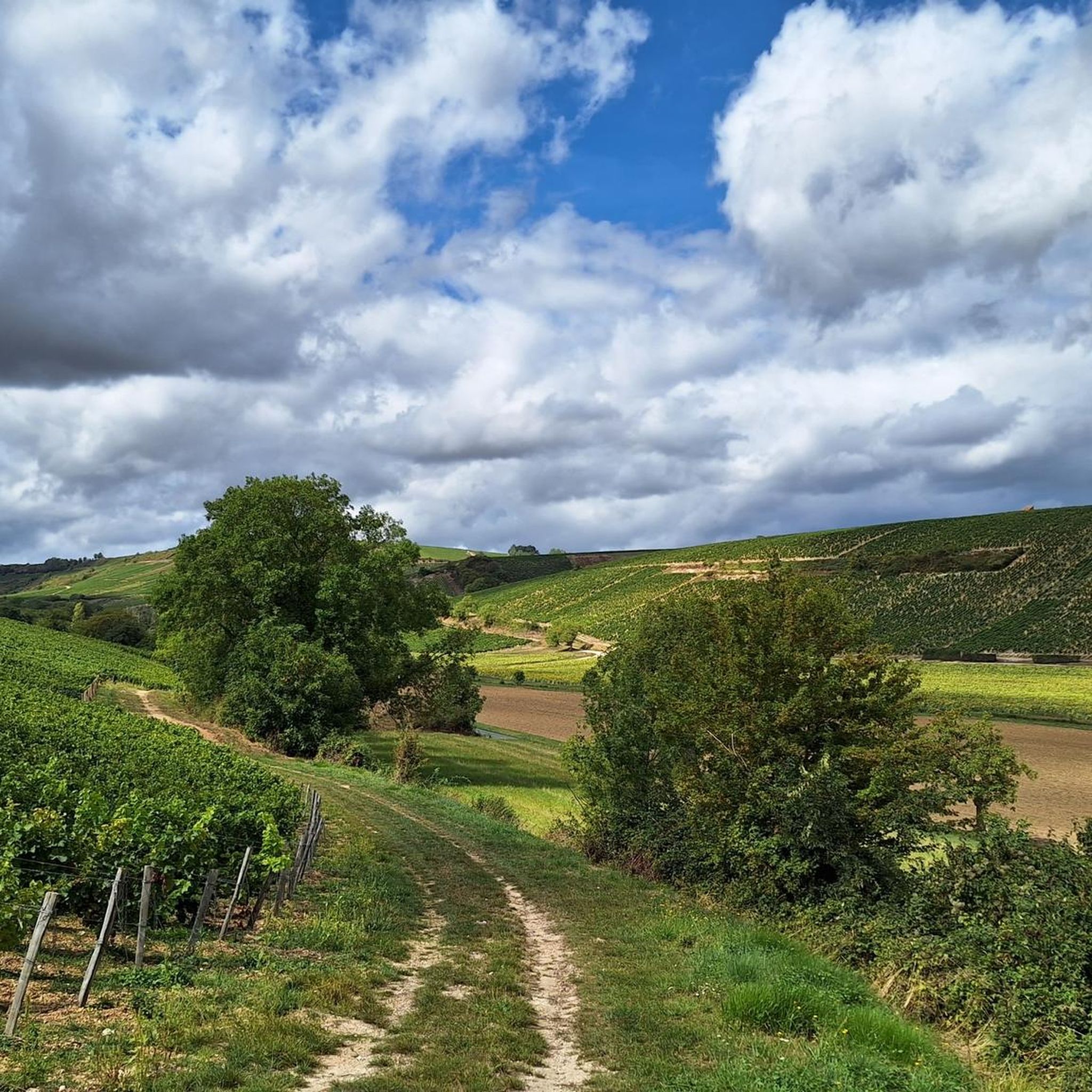
Crézancy-En-Sancerre周辺のグラベルバイクライドは、広大なブドウ畑と起伏のある丘陵地帯が特徴の風景が広がり、サイクリストに多様な地形を提供します。この地域の石灰質の土壌は路面に影響を与え、締まった土と砂利道のミックスを提供します。ロワール川とカナル・ラテラル・ア・ラ・ロワール川への近さは、専用の運河沿いの道を含む、さらなるサイクリングの機会を提供します。このエリアは、自然の美しさと歴史的な魅力が組み合わさっており、多様なグラベルバイク体験に適しています。
Crézancy-En-Sancerre周辺の最高のグラベルバイクコース
- 最も人気のあるグラベルバイクコースは、カナル・ラテラル・ア・ラ・ロワール川 – トレイシー・サンセールからのブリアール運河橋ループへの入り口で、距離88.3マイル(142.2 km)、所要時間9時間21分です。このルートはカナル・ラテラル・ア・ラ・ロワール川に沿っており、長距離体験を提供します。
- 地元のグラベルバイカーの間で次に人気が高いのは、サン・サテュール港 – トレイシー・サンセールからのサンセールループで、難易度の高い26.8マイル(43.1 km)のコースです。このトレイルにはサンセール村への登りが含まれており、周囲のブドウ畑のパノラマビューを楽しめます。
- 地元のグラベルバイカーに人気なのは、サン・サテュール港 – サンセールからの運河沿いの道ループで、距離20.8マイル(33.4 km)のトレイルは、運河沿いの道を含む多様な地形を通り抜け、所要時間は約2時間32分です。
- Crézancy-En-Sancerre周辺のグラベルバイクライドは、ブドウ畑の道、起伏のある丘、運河沿いの道が特徴です。このネットワークは、適度なライドからかなりの高低差を伴うより挑戦的なエクササイズまで、さまざまなレベルのオプションを提供します。
- Crézancy-En-Sancerreのルートは、komootコミュニティから高く評価されており、8件以上のレビューで平均4.1つ星を獲得しています。60人以上のグラベルバイカーがkomootを利用して、Crézancy-En-Sancerreの多様な地形を探索しています。
最終更新日: 8月 27, 2026
4.7
(3)
13
ライダー
44.0km
03:03
650m
650m
難しいグラベルライド. 標準以上のフィットネスレベルが必要です。 全般的に舗装された状態です。あらゆるスキルレベルに適しています。
4.0
(1)
6
ライダー
34.4km
02:37
580m
580m
難しいグラベルライド. 標準以上のフィットネスレベルが必要です。 全般的に舗装された状態です。あらゆるスキルレベルに適しています。

無料新規登録
1
ライダー
41.3km
03:19
700m
700m
難しいグラベルライド. 標準以上のフィットネスレベルが必要です。 全般的に舗装された状態です。あらゆるスキルレベルに適しています。
5
ライダー
48.9km
03:19
700m
700m
難しいグラベルライド. 標準以上のフィットネスレベルが必要です。 全般的に舗装された状態です。あらゆるスキルレベルに適しています。
2.5
(2)
2
ライダー
20.0km
01:19
230m
230m
中程度のグラベルライド. ある程度のフィットネスレベルが必要です。 全般的に舗装された状態です。あらゆるスキルレベルに適しています。
おすすめのツアーは他のkomootユーザーが実際に経験した何千ものアクティビティに基づいています。
無料アカウントで今日から始めよう
次の冒険が待っています。
ログインまたは登録
コミュニティからのヒント

In the proverbial "good old days," this (former) windmill, prominently positioned on the hill and clearly visible from afar, must have made a profound impression on the viewer. However, this changed long ago: Only the ruined remains of the once proudly towering tower with its once sweeping wings remain as a sad testament to that bygone era. Today's visitors probably enjoy less the sight of the ruins than—at least in good weather—the beautiful view of the wide plains that unfold before them.
1
0

It's not uncommon to find a Monument aux Morts in the immediate vicinity of the local church, which here boasts a very defensive-looking facade – the church's two massive, round towers could easily be imagined as part of a castle's fortifications. These monuments, found in almost every town, still serve an important dual function in the 21st century: They keep the memory of the victims of war and tyranny alive and thus serve as a constant reminder of peace.
0
0
Rivers and canals crisscross the country, the latter in particular being a crucial part of the transport infrastructure in earlier times. Later, first rail, and later again trucks, took over the task of transporting goods. In the competition between different modes of transport, they were faster and cheaper than barges – and thus more efficient. When building the artificial waterways, however, it had to be taken into account that differences in elevation always had to be overcome, and so locks are often lined up along the canals – at varying intervals, depending on the local situation. Only with their help was shipping possible.
0
0
It is presumably a former "chemin de halage" (in German "treidelpfad" or "leinpfad"), which runs alongside the canal's bed. In earlier times, such a path was an essential part of the transport infrastructure. Before ships could be powered by motors, horses walked along the bank, pulling the boat against the current. This was called "treideln" (pulling), and this is how the towpaths got their name, which has been passed down to this day. Where these paths, which run close to the bank, have been preserved, they are popular with hikers, walkers, joggers, and cyclists.
1
0

The viaduct that connects Saint-Germain-du-Puy and Cosne is quite impressive. When you pass underneath it along the greenway, you'll realize the scale of the construction.
0
0

Excellent discovery. I'm not the best performer, but I enjoyed doing it. With technique, it should be a treat.
0
0
クレザンシー-アン-サンセールでのの人気観光スポット

komootモバイルアプリでインスピレーションを得よう


さらに探索
他の地域の最高のグラベルライドを見てみましょう。
