ラナケンのおすすめ登山&山歩きルート
4.6
(7)
16
ハイカー
5
ハイキング
トンゲレンの山々をもっと探索しませんか?このガイドでご紹介するのは、komootがラナケンでの登山&山歩きのコレクション全体を評価して選び抜いた、このエリアの人気ルートです。あなたに合ったルートを見つけるには、他のユーザーがアップロードした役立つ情報や写真を閲覧し、クリック操作で簡単に表示できる詳細なデータを参考にしましょう。ラナケンでの次の冒険にぴったりの登山&山歩きルートが見つかるはずです。
最終更新日: 10月 15, 2026
4.0
(2)
7
ハイカー
16.5km
04:33
270m
280m
難しい登山ルート. ある程度のフィットネスレベルが必要です。 安定して歩行できる技術、丈夫な靴、高標高地での登山経験が必要です。
4.8
(4)
6
ハイカー
12.4km
03:19
130m
130m
中程度の登山ルート. ある程度のフィットネスレベルが必要です。 進みやすいルートです。あらゆるスキルレベルに適しています。

5.0
(1)
1
ハイカー
7.48km
01:59
80m
80m
初級者向け登山ルート. あらゆるフィットネスレベルに適しています。 進みやすいルートです。あらゆるスキルレベルに適しています。
1
ハイカー
7.02km
01:54
100m
100m
初級者向け登山ルート. あらゆるフィットネスレベルに適しています。 進みやすいルートです。あらゆるスキルレベルに適しています。
9.95km
02:40
120m
120m
中程度の登山ルート. ある程度のフィットネスレベルが必要です。 進みやすいルートです。あらゆるスキルレベルに適しています。
おすすめのツアーは他のkomootユーザーが実際に経験した何千ものアクティビティに基づいています。
無料アカウントで今日から始めよう
次の冒険が待っています。
ラナケン周辺で人気

フランドルからアルデンヌへ — ベルギーのGR 5
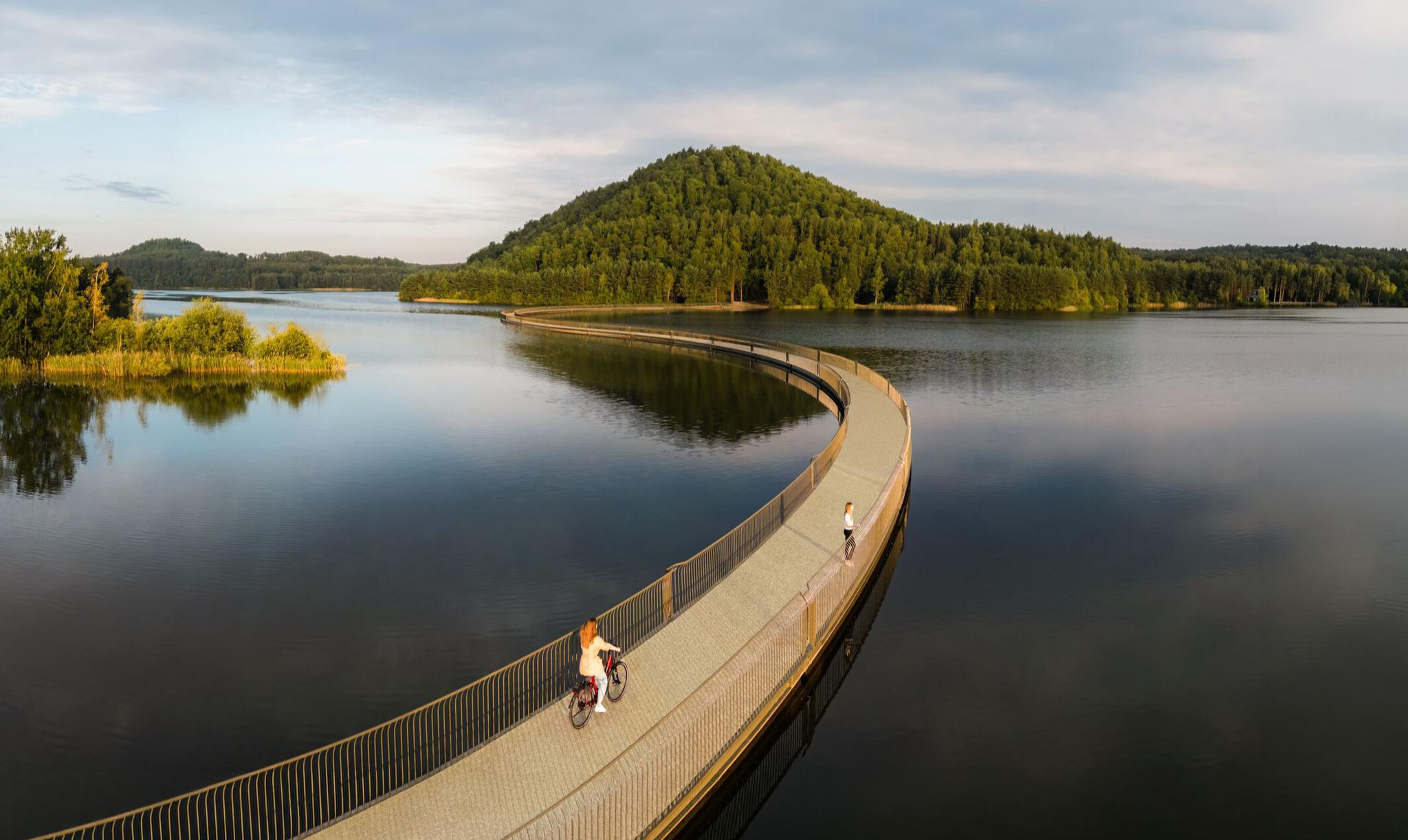
Three days through Belgian Limburg – art, heritage and views
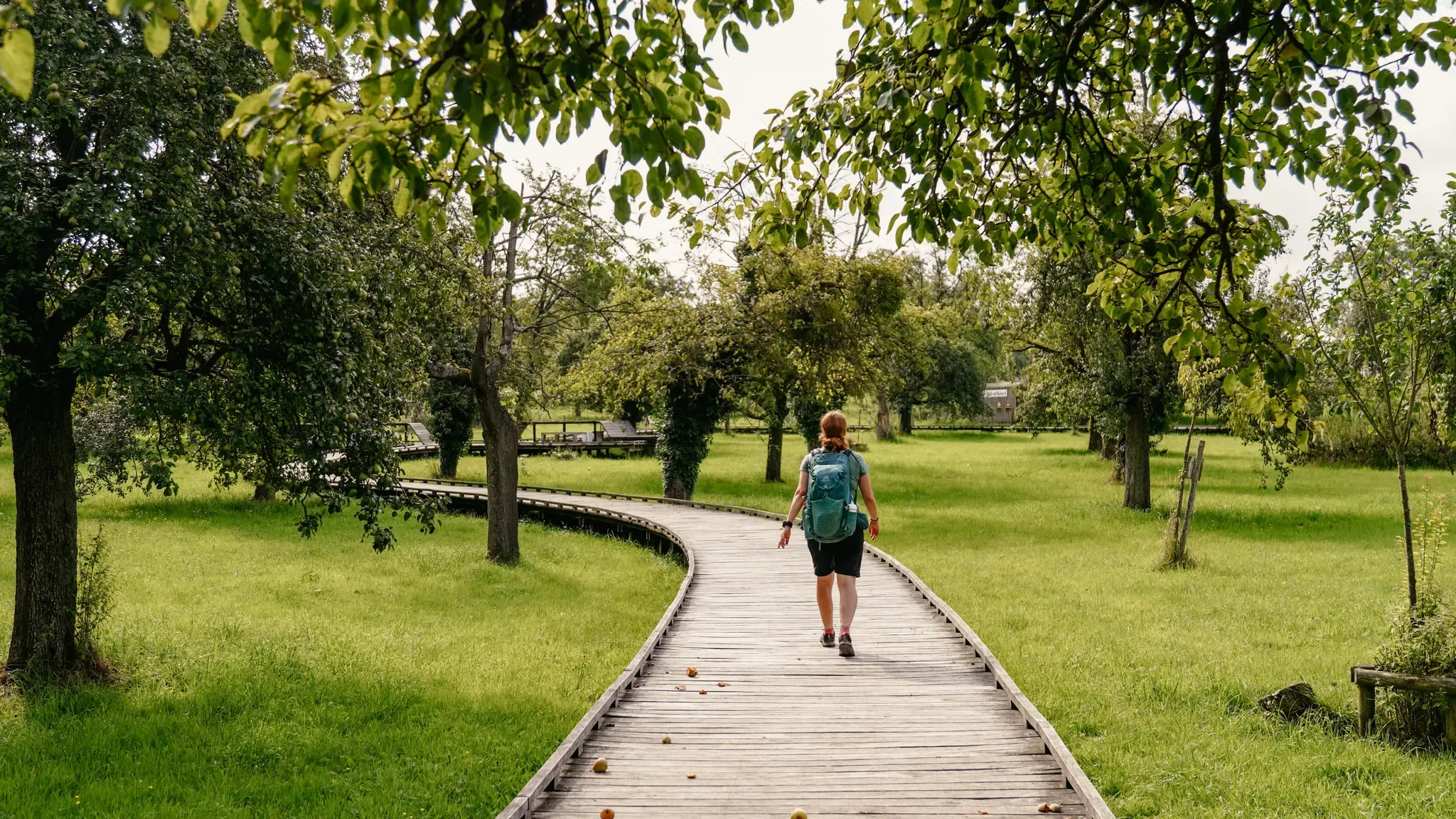
Hiking in Flanders – between dunes, forest and the scenic Meuse
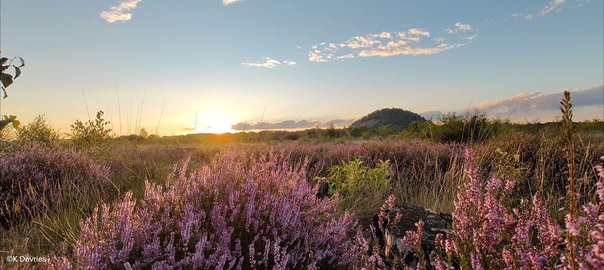
Driedaagse National Park Trail (vanuit Genk Station)
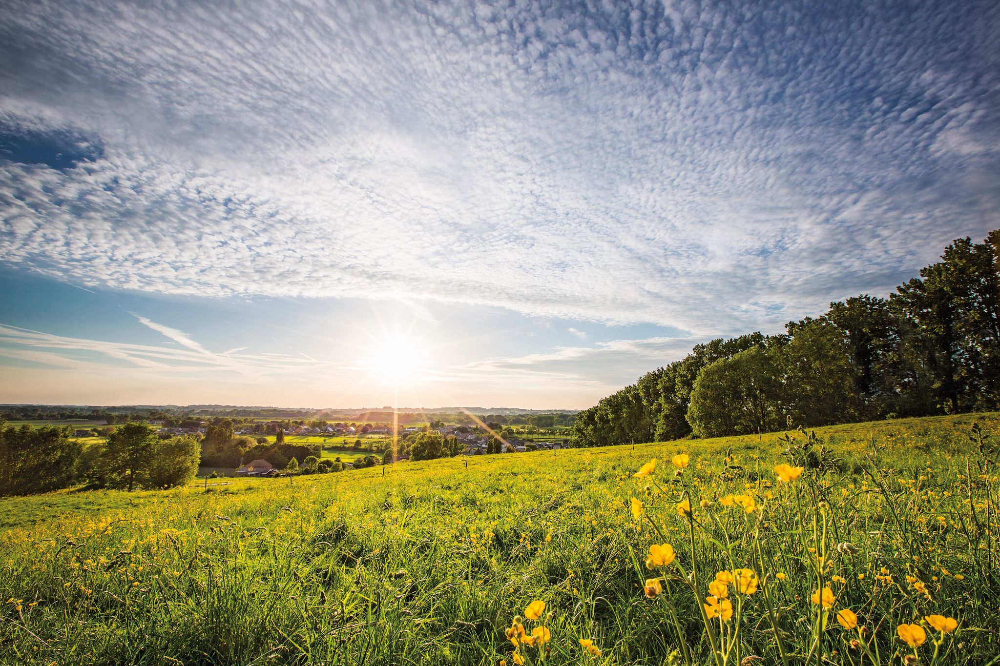
Belgium's best – the most beautiful hiking routes in Flanders
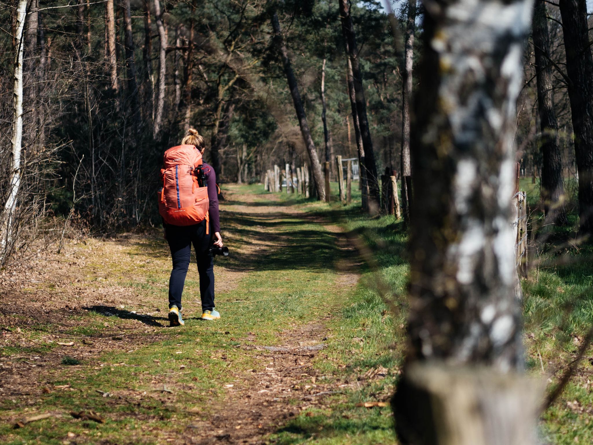
Hiking in Flanders – National Park Trail through Hoge Kempen
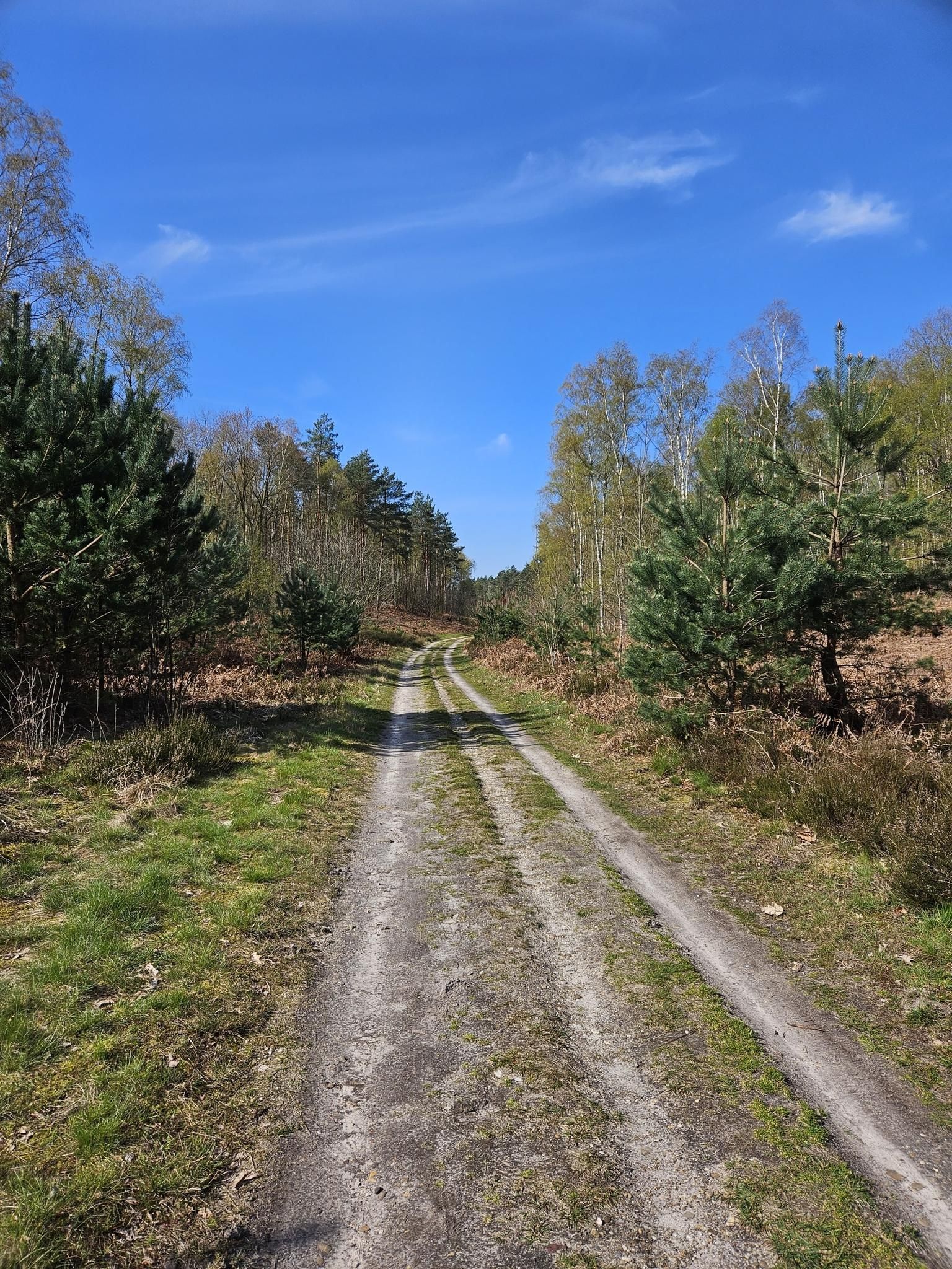
Camping Trail: 111 km National Park Trail、キャンプ場からキャンプ場へ
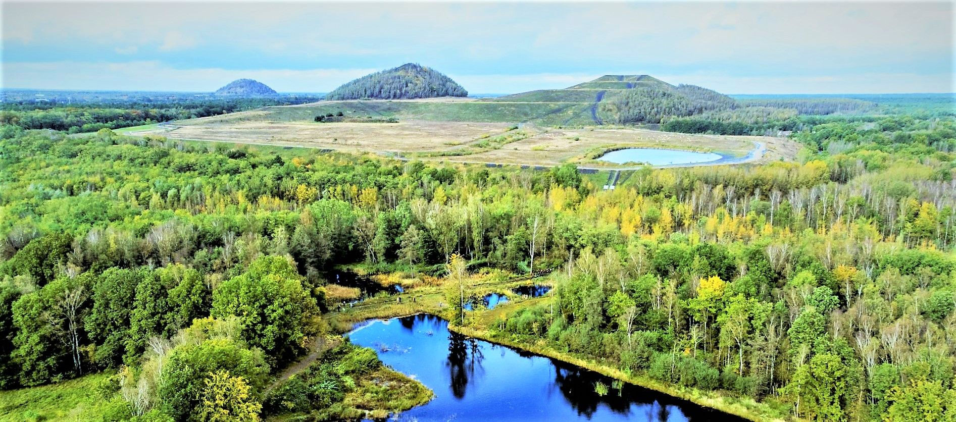
National Park Trail - ホーゲ・ケムペン国立公園を通じて110キロメートル
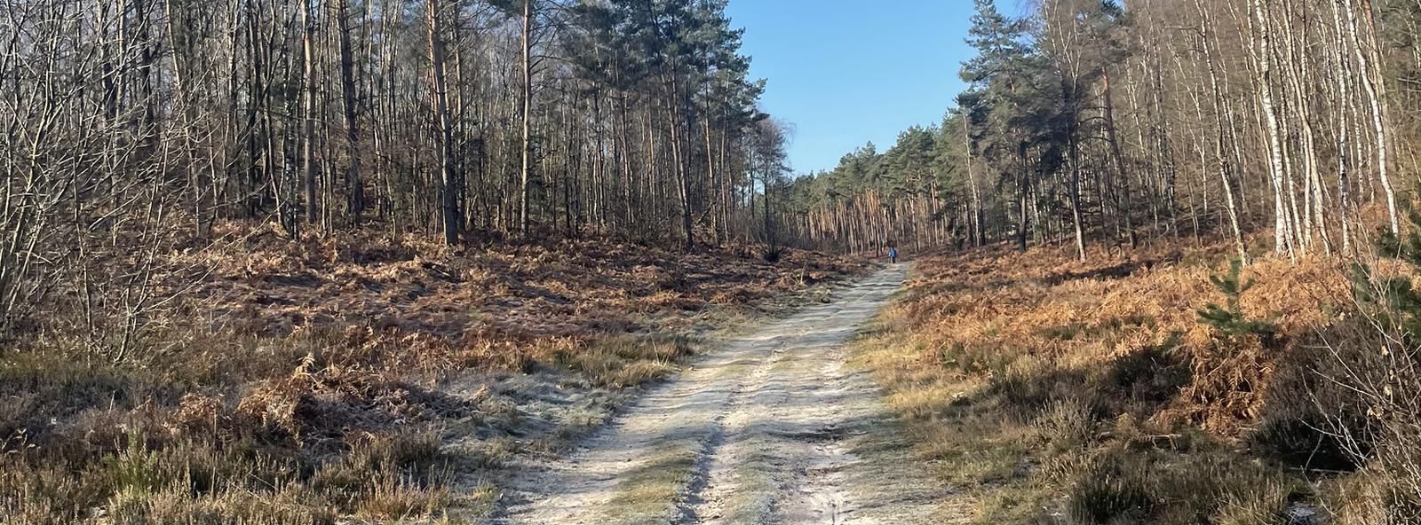
ベルグーラストアラゴートファイルドラール南 - ブラマ タンドングの体前れていません
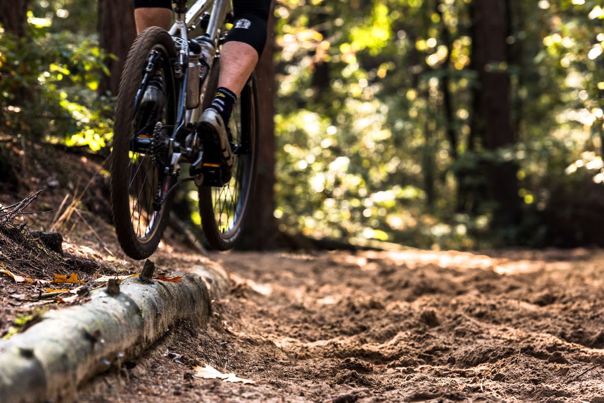
自然と一体 - ホーヘケムペンマウンテンバイクネットワーク
ラナケンでのの他の冒険


コミュニティからのヒント

Aß er das F es F es er g F rh a f es frw g Asse wer war
0
0

Sint-Pietersbergは、開けた石灰岩の草原と明るい森のユニークなモザイクを提供しており、自然愛好家なら誰でも訪れる価値があります。「Sint-Pietersberg」では、まるで外国にいるかのような気分を味わえます。他にどこで、これほど美しい丘やこのような特別な泥灰岩の風景に出会えるでしょうか?カエステル高原は、価値のある斜面の森と石灰岩の草原で構成されており、フランダース地方では珍しい生息地です。森や草原の下にはユニークな泥灰岩の採石場があり、十数種類のコウモリの真の楽園となっています。
3
0
ネールカンネ城は、ローマ時代の防御施設の元の場所に建てられており、その洞窟は現在も存在し、ワインセラーとして使用されています。ホールには、幅広の柱に手すりが付いた元の階段があります。天井には戦いのトロフィーがレリーフで描かれています。現在、城はホテルおよびレストランとして利用されています。レストランはミシュランガイドで一つ星を獲得しています。
5
0

Great city center and at Christmas and all the lights it's really worth it :)
0
0
This seems to me more like a depot or loading and unloading area (or something else) than a mine entrance, because I don't think horizontal mine entrances ever existed in Limburg, at least not for the coal mines. You could only go down through the shafts.
5
0

Very challenging and very steep. Be careful here. There is a rope, best to use it.
1
0

Along the rippling Geul River, an impressive marlstone wall rises, a silent witness to Limburg's underground landscape. These calcareous rocks were used for centuries for construction and crafts and now offer a fascinating sight for hikers and nature lovers. The wall forms a natural boundary along the water and, in some places, harbors small caves and niches where flora and fauna have found a home. The contrast of the white marl against the green foliage and the glistening water of the Geul makes this a particularly photogenic and tranquil spot during your walk.
0
0
Hidden among the greenery of Hoge Kempen National Park lies a silent witness to the past: an old mine entrance. This entrance recalls the time when coal was mined deep underground here—the black gold that made the Limburg region bustle with activity for decades. What was once a place of hard labor, dust, and noise has now been replaced by tranquility and nature. The surrounding forests and hills have reclaimed the land, but the contours of the mining past remain visible in the landscape. The weathered brick gates and the occasional palpable cooler air at the entrance evoke images of the miners who descended here day in, day out. Today, this place stands as an impressive historical monument within the nature park. A reminder of human resilience and of the transformation from industry to nature.
2
0

komootモバイルアプリでインスピレーションを得よう


さらに探索
他の地域の最高の登山ハイキング & ルートを見てみましょう。
