ワイカトのおすすめ登山&山歩きルート
4.5
(6)
43
ハイカー
4
ハイキング
ニュージーランドの山々をもっと探索しませんか?このガイドでご紹介するのは、komootがワイカトでの登山&山歩きのコレクション全体を評価して選び抜いた、このエリアの人気ルートです。あなたに合ったルートを見つけるには、他のユーザーがアップロードした役立つ情報や写真を閲覧し、クリック操作で簡単に表示できる詳細なデータを参考にしましょう。ワイカトでの次の冒険にぴったりの登山&山歩きルートが見つかるはずです。
最終更新日: 9月 1, 2026
5.0
(2)
16
ハイカー
13.6km
04:21
550m
550m
中程度の登山ルート. ある程度のフィットネスレベルが必要です。 進みやすいルートです。あらゆるスキルレベルに適しています。
5.0
(2)
15
ハイカー
18.8km
05:28
480m
480m
難しい登山ルート. 標準以上のフィットネスレベルが必要です。 安定して歩行できる技術、丈夫な靴、高標高地での登山経験が必要です。

無料新規登録
3.5
(2)
10
ハイカー
7.53km
02:05
130m
130m
中程度の登山ルート. ある程度のフィットネスレベルが必要です。 進みやすいルートです。あらゆるスキルレベルに適しています。
2
ハイカー
6.77km
01:58
180m
180m
初級者向け登山ルート. あらゆるフィットネスレベルに適しています。 進みやすいルートです。あらゆるスキルレベルに適しています。
おすすめのツアーは他のkomootユーザーが実際に経験した何千ものアクティビティに基づいています。
無料アカウントで今日から始めよう
次の冒険が待っています。
ログインまたは登録



コミュニティからのヒント

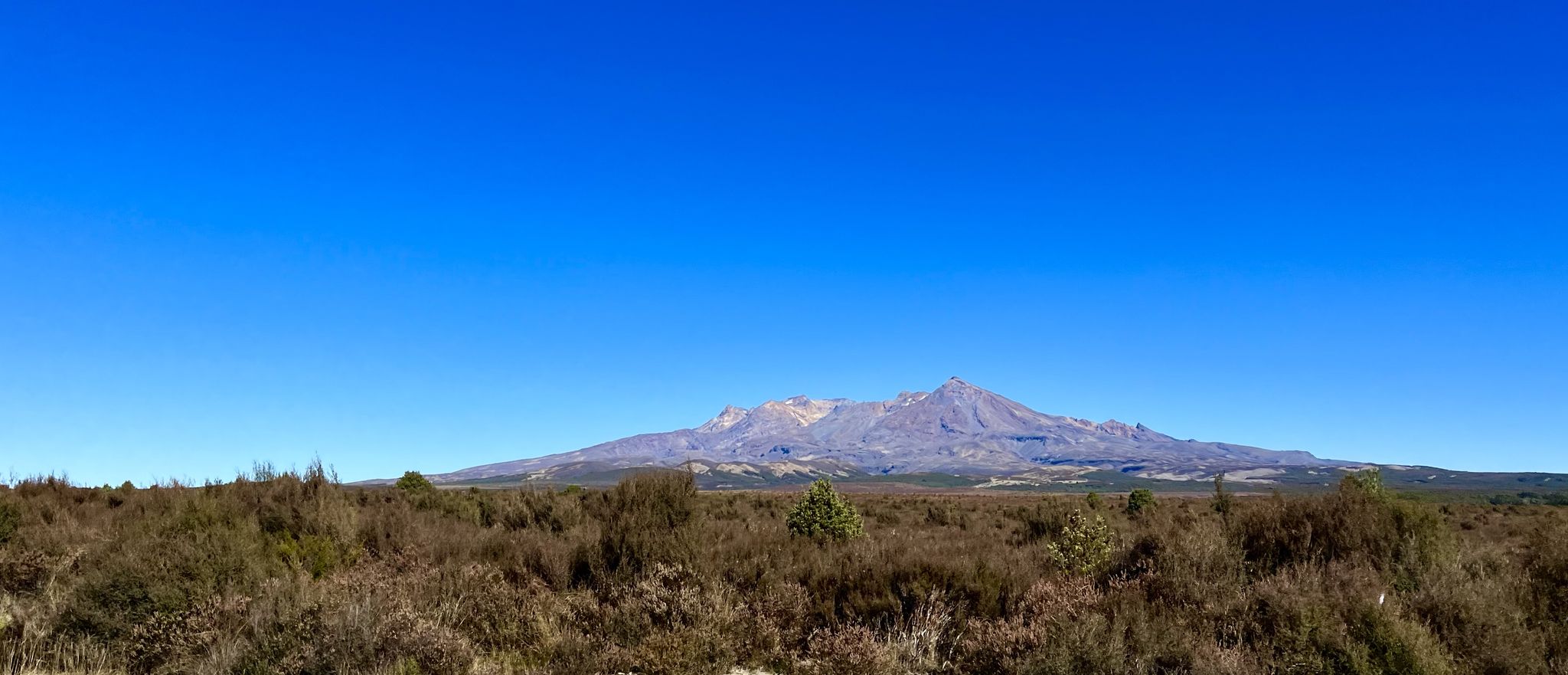
Numerous hiking trails start here, e.g. the Taranaki Falls Track and the Tongariro Crossing... the options are described on hiking boards
1
0


The path leads beautifully through the lava landscape... impressive to experience the power of nature
2
0

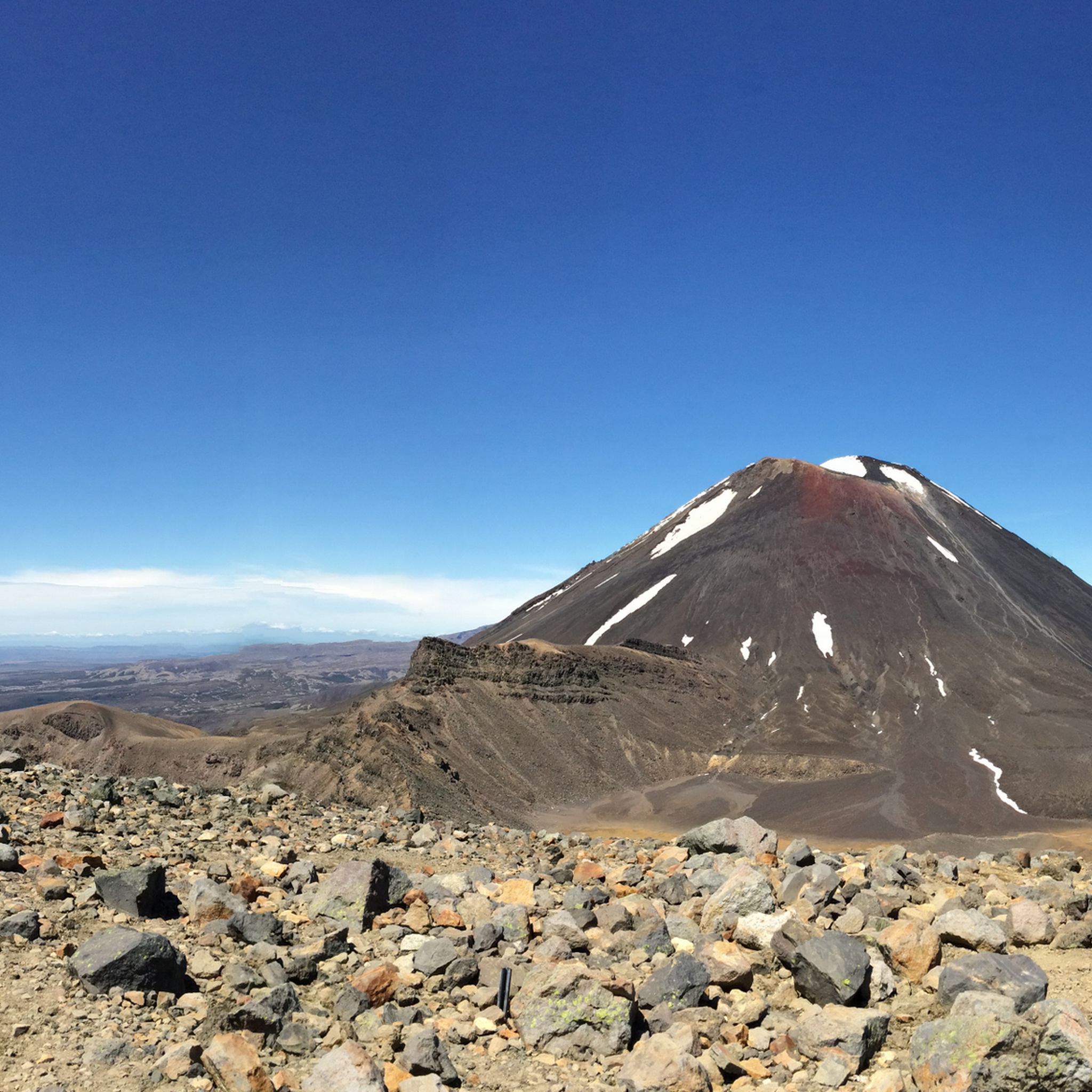
Mount Ngauruhoe is New Zealand’s youngest and historically most active volcano. Seeing, crossing and even touching the jagged old lava flows from Mount Ngauruhoe is an early highlight on the Tongariro Alpine Crossing when ascending from Mangatepopo. The youngest lava flows appear black and erupted from Ngauruhoe in 1949 and 1954. The older lava flows contain progressively more plants, lichens and moss. It is easy to back-trace the multiple black/grey lava flow lines to the summit of Ngauruhoe. The lava flows (and an information board) are encountered first between 1.65 and 2.0 miles from the trail start at Mangatepopo. They clarify powerfully the volcanic nature of the terrain that lies ahead!
1
1

Gloves, hat, sun protection, rain gear - the weather can change very quickly here and a cold wind can blow.
1
1
Nice view down into the valley
2
0

komootモバイルアプリでインスピレーションを得よう


さらに探索
他の地域の最高の登山ハイキング & ルートを見てみましょう。
