ビックリーのおすすめランニングルート
4.6
(21)
4,317
ランナー
266
ランニング
ビックリーでランニングを楽しめば、このエリアをより深く知ることができます。ランニングに適した美しいルートが見つかるように、komootがビックリーでのルートのコレクション全体を評価して選び抜いた、人気ランニングトレイルをご紹介します。ルートをクリックして詳細を表示し、他のユーザーがアップロードした役立つ情報や写真を閲覧しましょう。
最終更新日: 8月 21, 2026
11
ランナー
6.48km
00:41
70m
70m
中程度のジョギング. ある程度のフィットネスレベルが必要です。 全般的に舗装された状態です。あらゆるスキルレベルに適しています。
10
ランナー
15.6km
01:47
150m
150m
難しいジョギング. 標準以上のフィットネスレベルが必要です。 全般的に舗装された状態です。あらゆるスキルレベルに適しています。

無料新規登録
4
ランナー
9.63km
01:05
230m
230m
中程度のジョギング. ある程度のフィットネスレベルが必要です。 全般的に舗装された状態です。あらゆるスキルレベルに適しています。
4
ランナー
12.0km
01:21
140m
140m
中程度のジョギング. ある程度のフィットネスレベルが必要です。 全般的に舗装された状態です。あらゆるスキルレベルに適しています。
2
ランナー
13.1km
01:24
160m
160m
中程度のジョギング. ある程度のフィットネスレベルが必要です。 全般的に舗装された状態です。あらゆるスキルレベルに適しています。
さらに多くのルートや他のユーザーのおすすめ情報を確認できます。
無料新規登録
すでにアカウントをお持ちですか?
おすすめのツアーは他のkomootユーザーが実際に経験した何千ものアクティビティに基づいています。
無料アカウントで今日から始めよう
次の冒険が待っています。
ログインまたは登録


コミュニティからのヒント

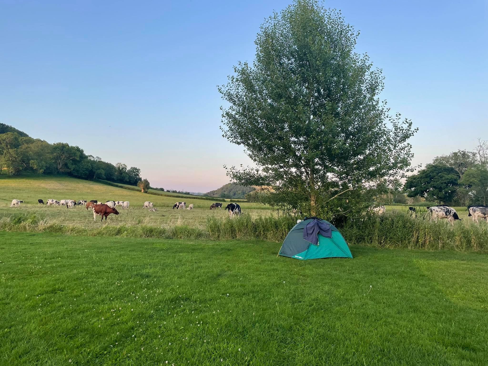
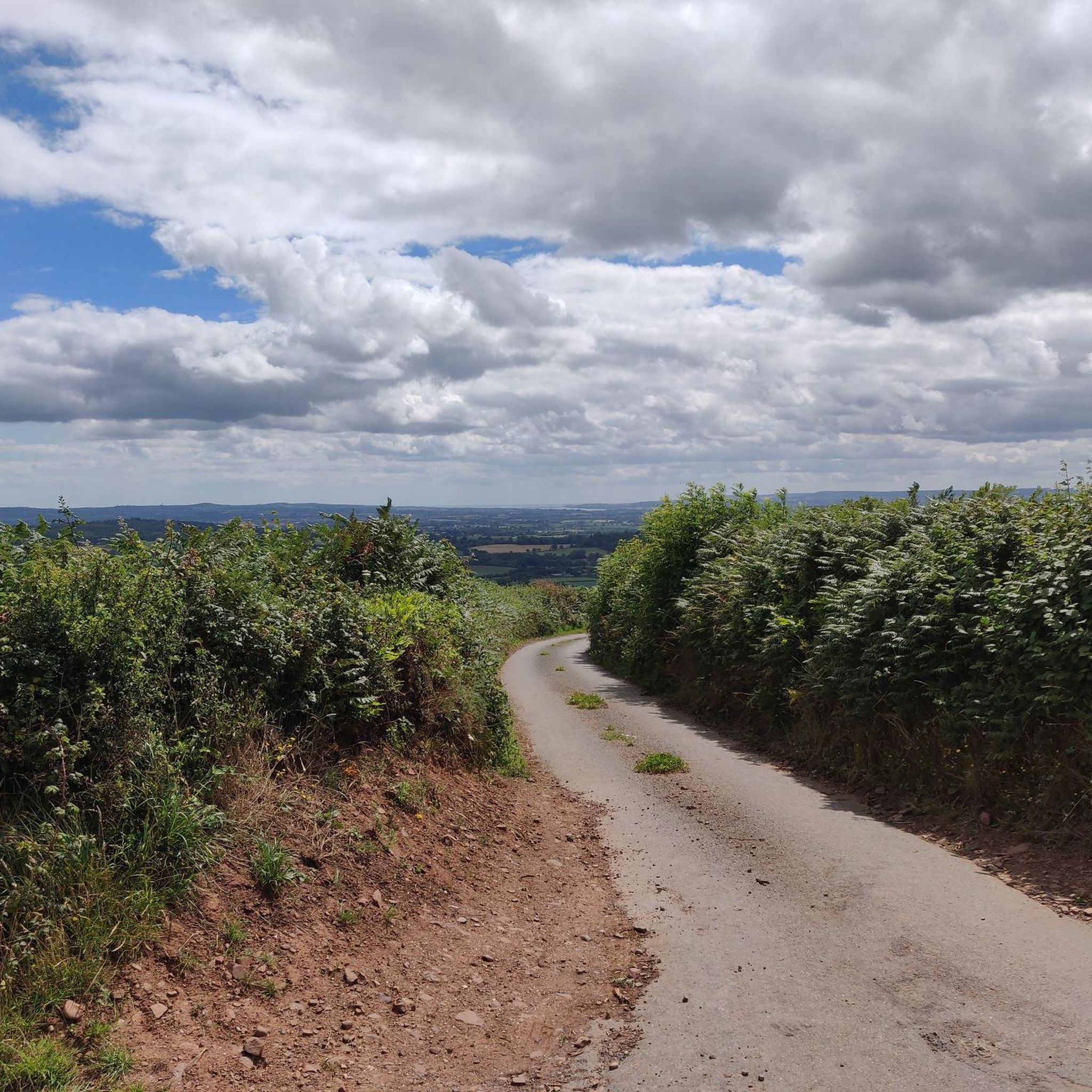
Really muddy, walking in the lanes can be dangerous as cars can go 60mph in the lane, lots of nice walks in the fields and around Killerton House..
2
0

Using the power of moving water to drive a mill wheel is an ancient invention of the human spirit of discovery, the origins of which can be traced back to times long past. Thanks to such a construction, human or animal muscle power could be easily replaced by the power of the natural elements through a watercourse - natural or artificially created - in order to grind grain into corn or press oil from fruit, for example. There are essentially two different ways of driving watermills: * Either the flowing water simply hits the blades of the water wheel from below to set it in motion; or * the water is guided above the wheel - usually through a so-called "mill channel" - and falls onto the blades; this type of construction is more efficient due to natural gravity.
5
0

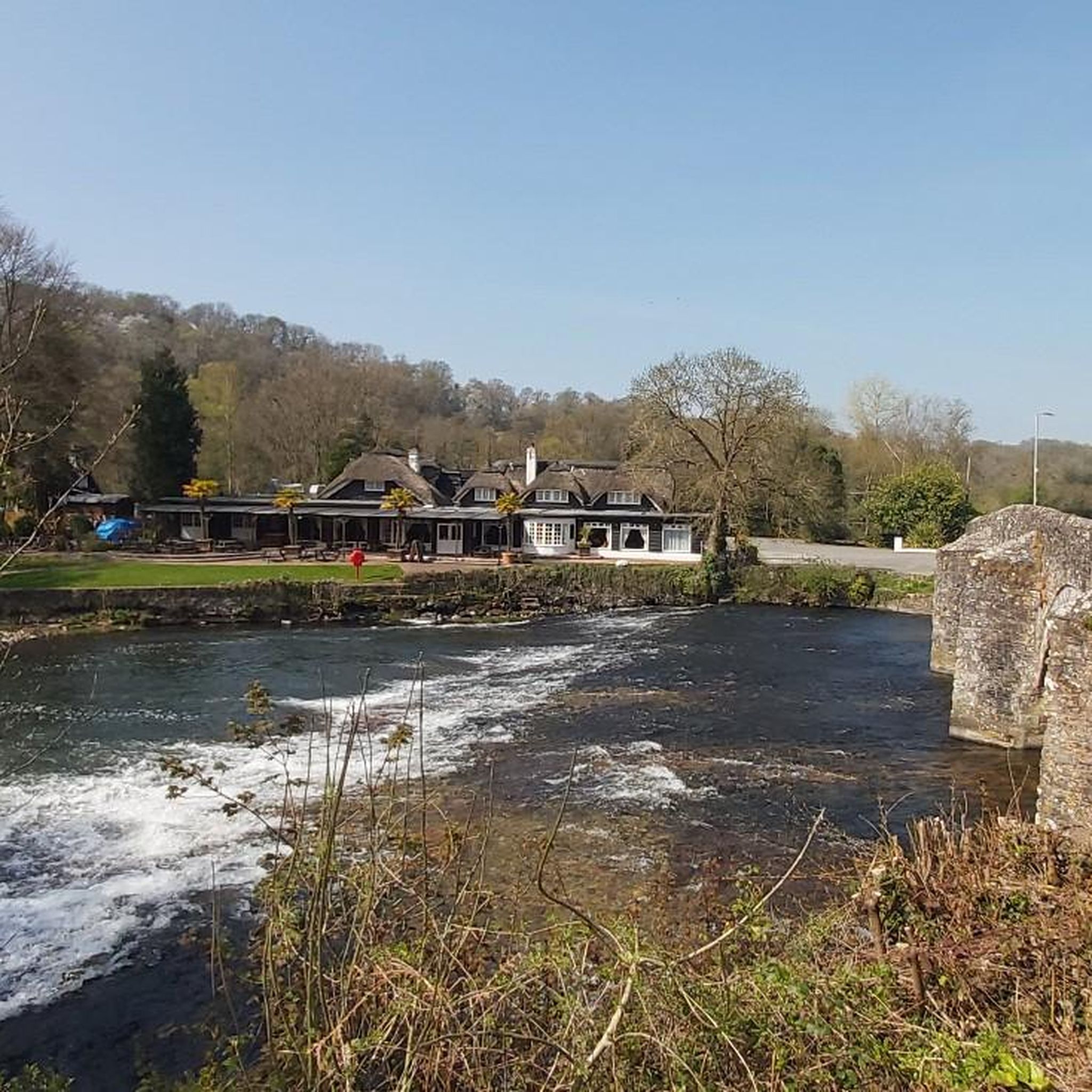
Bickleigh Mill is an 18th century water mill which is still working to this day. The Mill is now also home to shops and eateries. With its gorgeous riverside location it is a lovely place to start or finish a walk, or stop partway along to refuel.
5
0
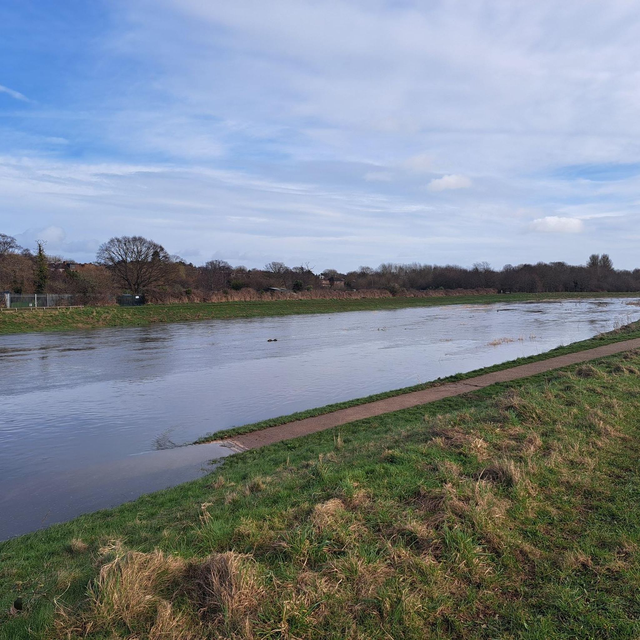
The River Exe flows all the way from Exmoor in the north to Exmouth in the south. The Exe Valley Way follows the river from the Exe Estuary to Exford on Exmoor. Not quite all the way to the source of the river but you can add on that additional stretch if you wish to. The official route is 72km (45 miles long) and is way marked. This section here between Tiverton and Bickleigh would make a nice day out, starting at either end. Its around 11km there and back and fairly flat.
4
0


Picnic area close by, peaceful spot by the river.
0
0
ビックリーでのの人気観光スポット

komootモバイルアプリでインスピレーションを得よう


さらに探索
他の地域の最高のランニングトレイル & ルートを見てみましょう。
