ケトルシュルムのおすすめ登山&山歩きルート
5.0
(1)
5
ハイカー
2
ハイキング
北西イングランドの山々をもっと探索しませんか?このガイドでご紹介するのは、komootがケトルシュルムでの登山&山歩きのコレクション全体を評価して選び抜いた、このエリアの人気ルートです。あなたに合ったルートを見つけるには、他のユーザーがアップロードした役立つ情報や写真を閲覧し、クリック操作で簡単に表示できる詳細なデータを参考にしましょう。ケトルシュルムでの次の冒険にぴったりの登山&山歩きルートが見つかるはずです。
最終更新日: 10月 28, 2026
5.0
(1)
2
ハイカー
中程度の登山ルート. ある程度のフィットネスレベルが必要です。 歩きやすい道です。
2
ハイカー
10.8km
03:06
260m
260m
中程度の登山ルート. ある程度のフィットネスレベルが必要です。 歩きやすい道です。

1
ハイカー
11.1km
03:25
390m
390m
中程度の登山ルート. ある程度のフィットネスレベルが必要です。 歩きやすい道です。
おすすめのツアーは他のkomootユーザーが実際に経験した何千ものアクティビティに基づいています。
無料アカウントで今日から始めよう
次の冒険が待っています。
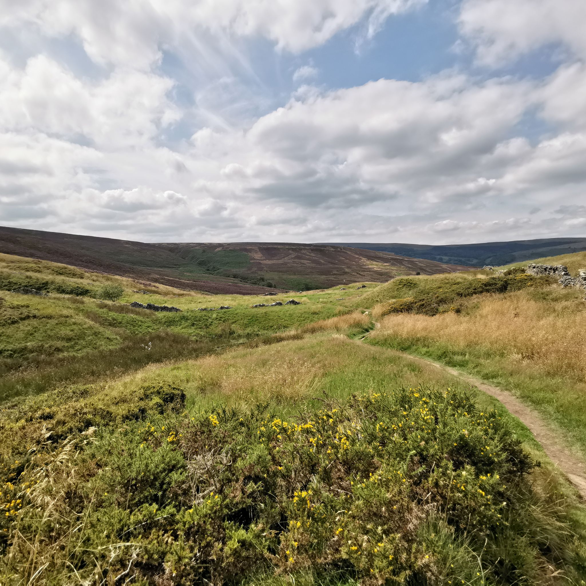
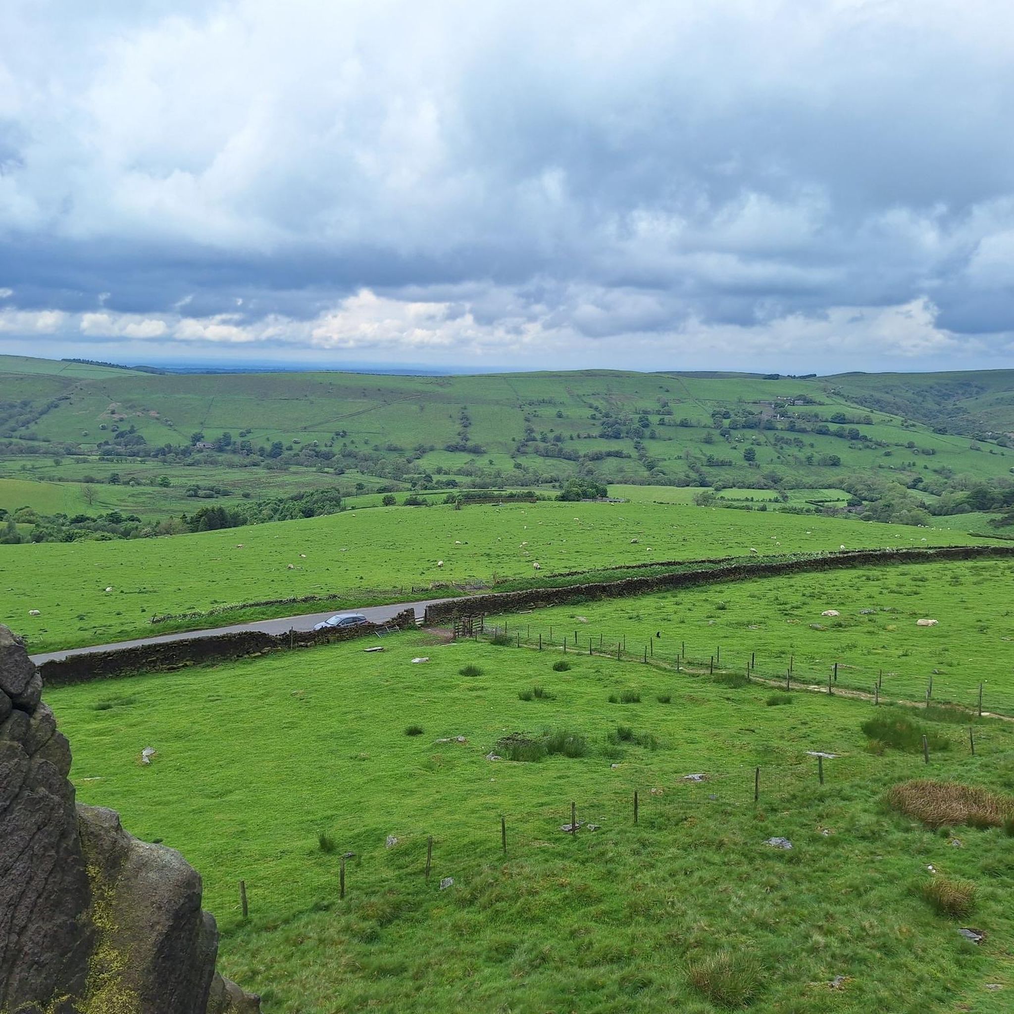
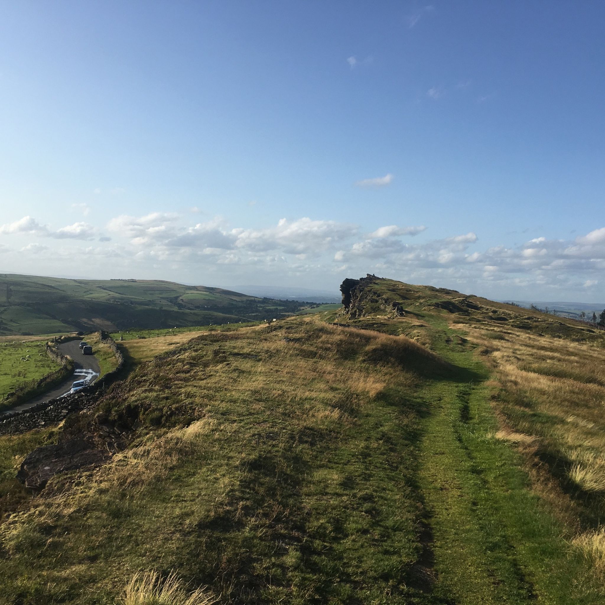
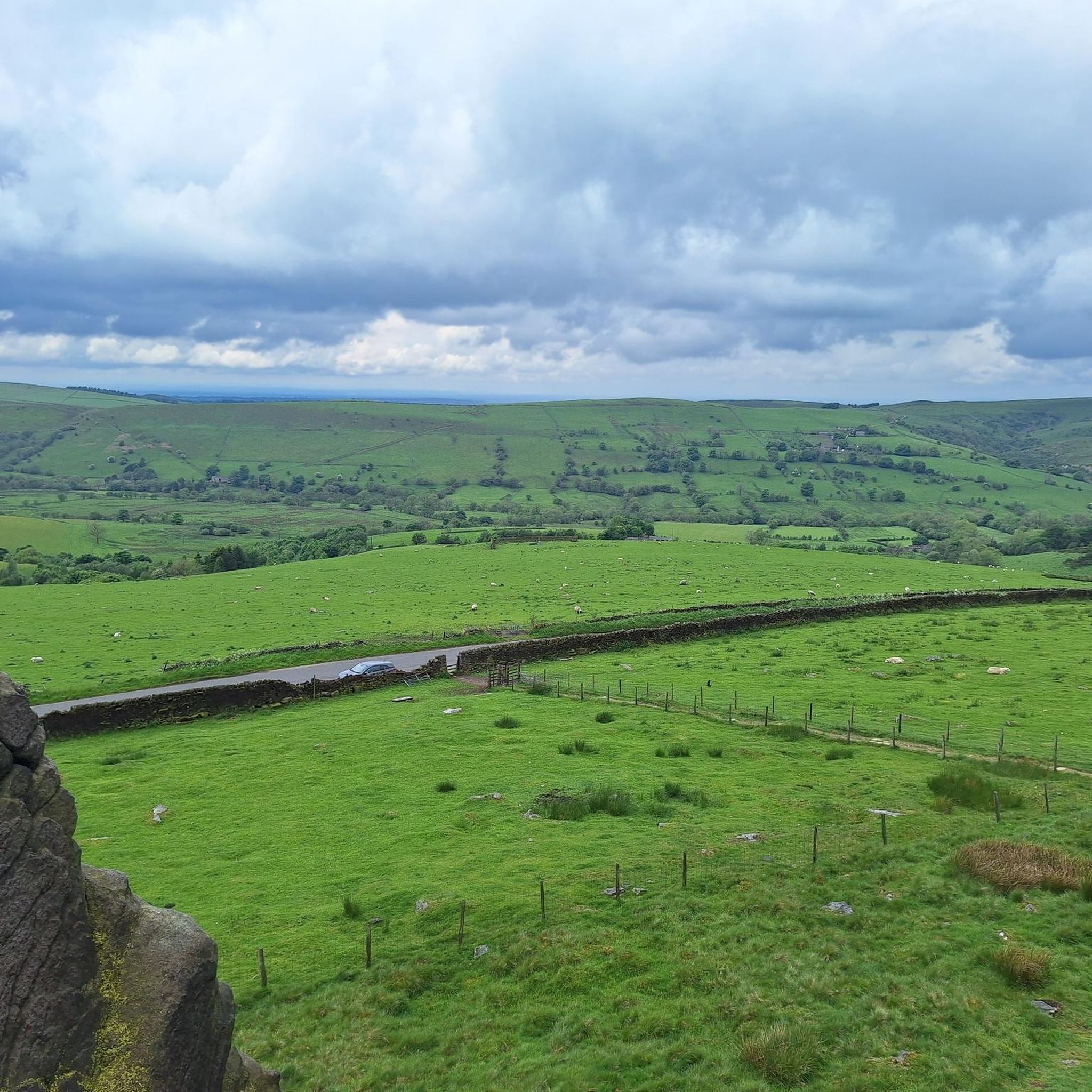

コミュニティからのヒント


very fast coming from Pym's chair. then is a leg sapping uphill for a few miles to the end.
0
0


This beautiful resting spot on the banks of the babbling Clough Brook is the perfect place for a picnic after summiting Shutlingsloe. Hidden away from the crowds it is calm and tranquil hidden gem flanked by lush green foliage and rocks, you would be forgiven for feeling as if you were in a beautiful gorge miles away from anywhere!
0
0


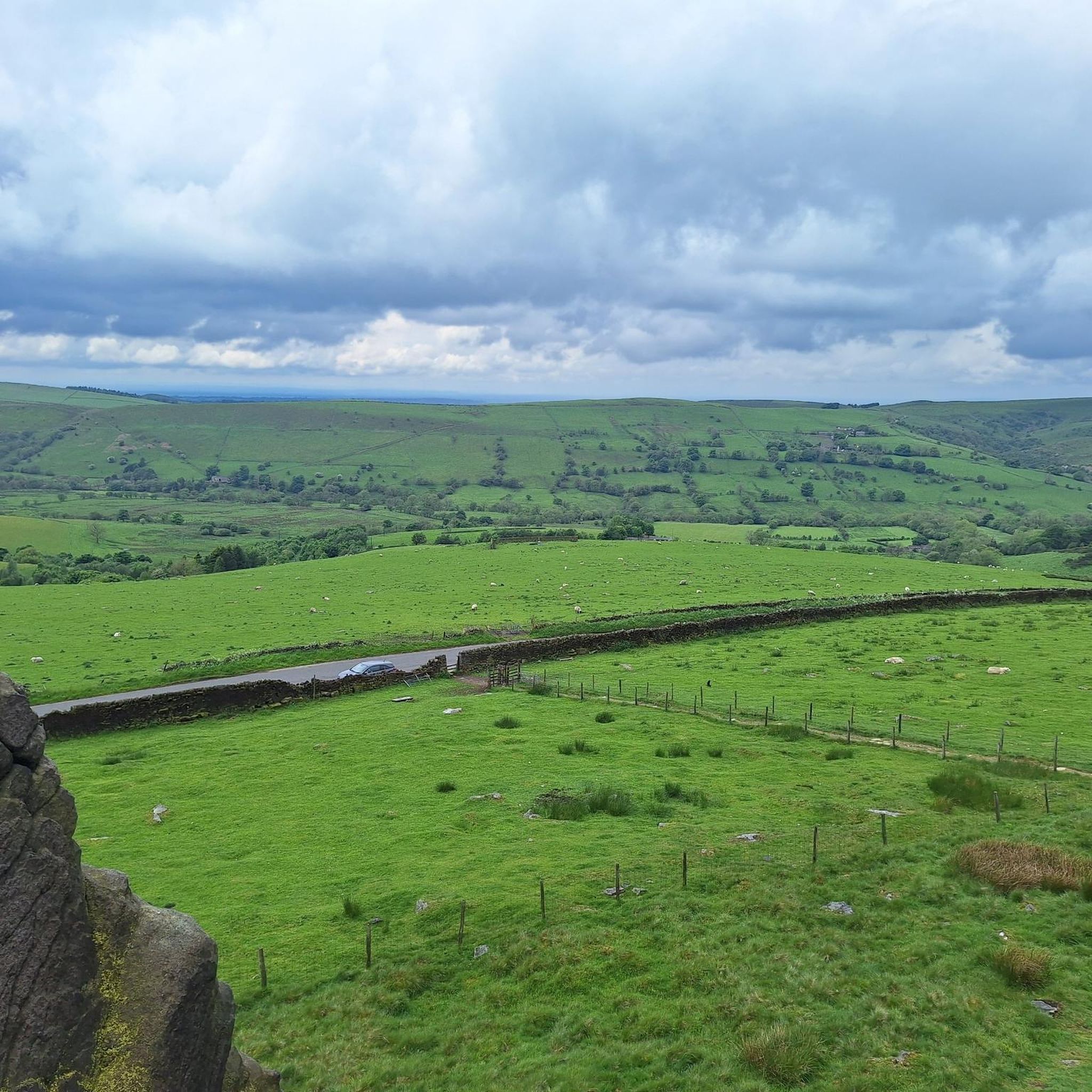
Lovely climb up from the reservoir, quiet road with fabulous views.
0
0

Standing proud at 1,600 feet (500 m) to the west of Buxton, Burbage Edge is a glorious objective. The views from its trig pillar are splendid, with rolling moorland in just about every direction. The ridge is the main watershed between the Goyt and Wye Rivers.
1
0
ケトルシュルムでのの人気観光スポット

komootモバイルアプリでインスピレーションを得よう


さらに探索
他の地域の最高の登山ハイキング & ルートを見てみましょう。
