ハースレ(LU)の峠・トップ14
風景を楽しんだり、上りや下りを満喫したり、峠には楽しみ方がたくさんあります。ハースレ(LU)の素晴らしい峠の一覧を参照して、思い出に残るアドベンチャーに出かけましょう。コミュニティのメンバーがコミュニティのために投稿した峠のハイライトは、他のユーザーが実際におすすめする情報なので、どれも信頼できるものです。気に入った峠にさっそく向かってみましょう。
最終更新日: 8月 20, 2026
ヒルフェレン峠
ハイライト • 山道
翻訳者 Google •
役立つ情報 は

レンッグ峠
ハイライト • 山道
At the top of the pass there is a small restaurant where you can get something to eat.
翻訳者 Google •
役立つ情報 は

今すぐサインアップして、こんな場所を発見しよう
最高のシングルトラック、ピーク、その他のエキサイティングなアウトドアスポットのおすすめを受け取ろう。
無料新規登録
トロッケンマットザッテル
ハイライト • 山道
翻訳者 Google •
役立つ情報 は

グラウベンビーレン峠
ハイライト • 山道
翻訳者 Google •
役立つ情報 は


無料アカウントで今日から始めよう
次の冒険が待っています。
ログインまたは登録


コミュニティからのヒント

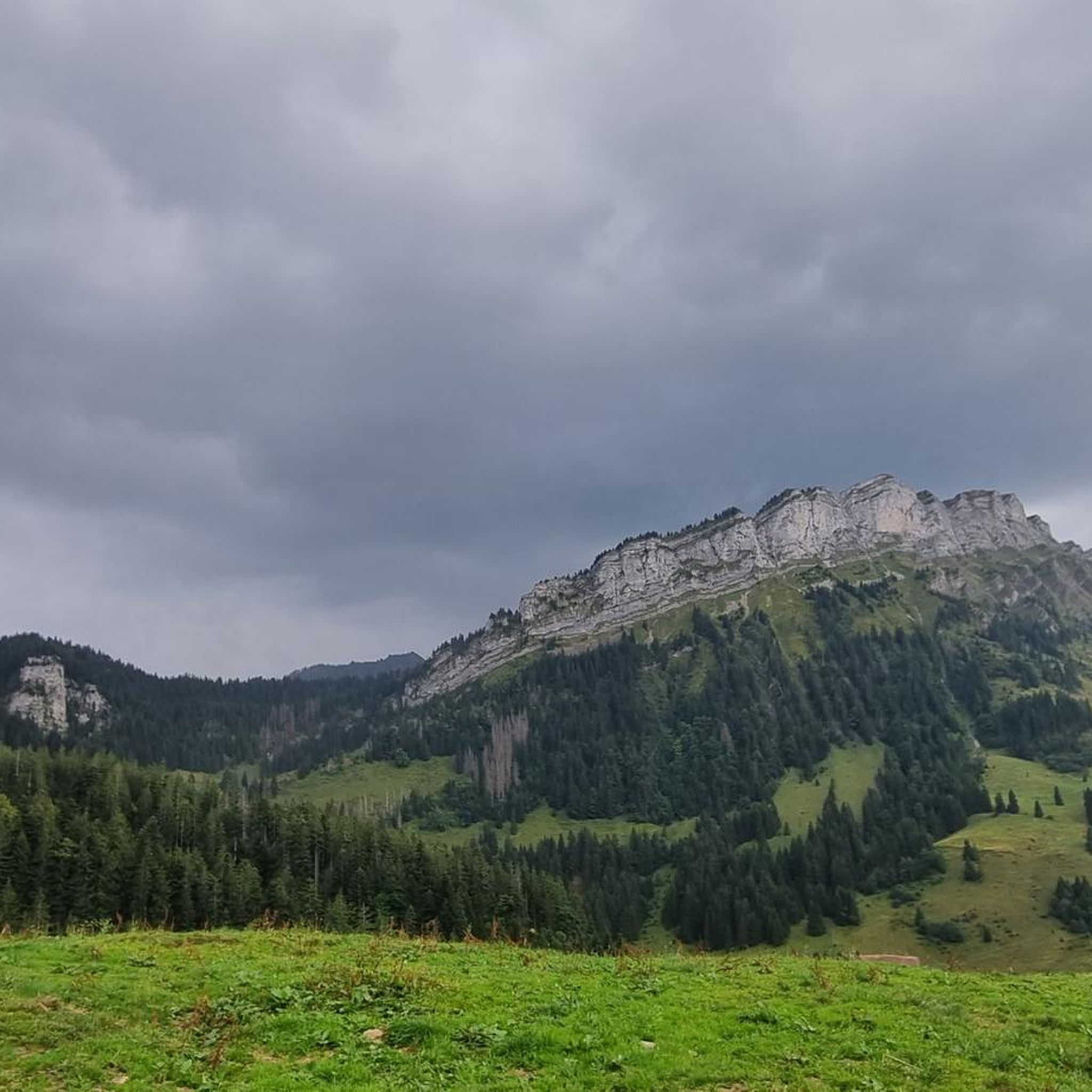
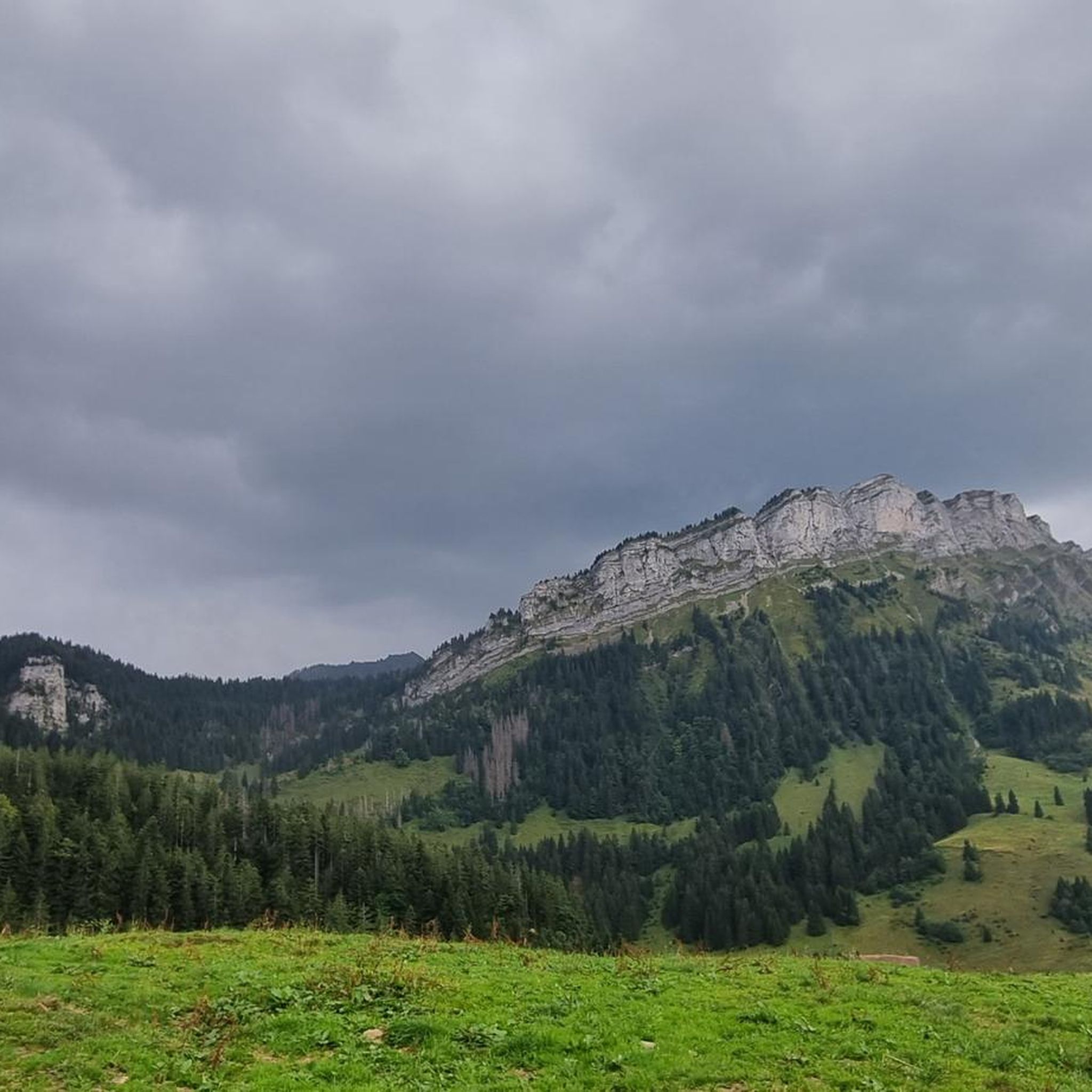
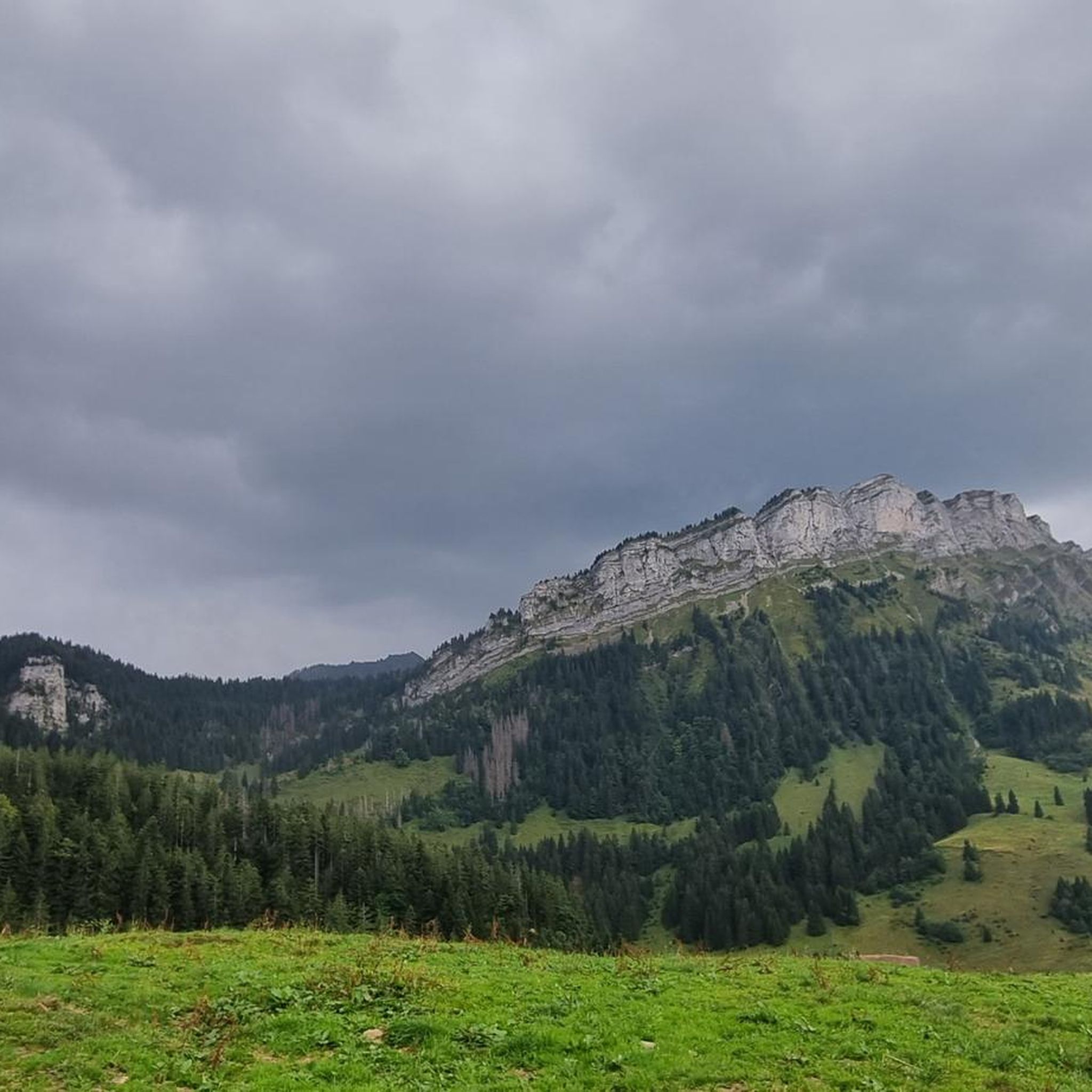
A small mountain pass between the cantons of Obwalden, from Giswil and Lucerne to Sörenberg. The route is narrow on the Obwalden side and in places only single-track, stretching with a very constant gradient of 8 to 12% over meadow slopes and forest up to the highest point. From the Lucerne side, starting at the Brienz Rothorn cable car valley station, it is also only two-track. The highest point is somewhat unspectacular, situated in the sparse mountain forest at the foot of a rock face; the actual pass summit is somewhat lower on the Lucerne side, where there is also a small kiosk.
0
0
A small mountain pass between the cantons of Obwalden and Lucerne, from Giswil to Sörenberg. The route is narrow on the Obwalden side and in places only single-track, stretching at a very constant gradient of 8 to 12% over meadow slopes and forest up to the highest point. From the Lucerne side, starting at the Brienz Rothorn cable car valley station, it is also only two-track. The highest point is somewhat unspectacular, situated in the sparse mountain forest at the foot of a rock face; the actual pass summit is somewhat lower on the Lucerne side, where there is also a small kiosk.
0
0
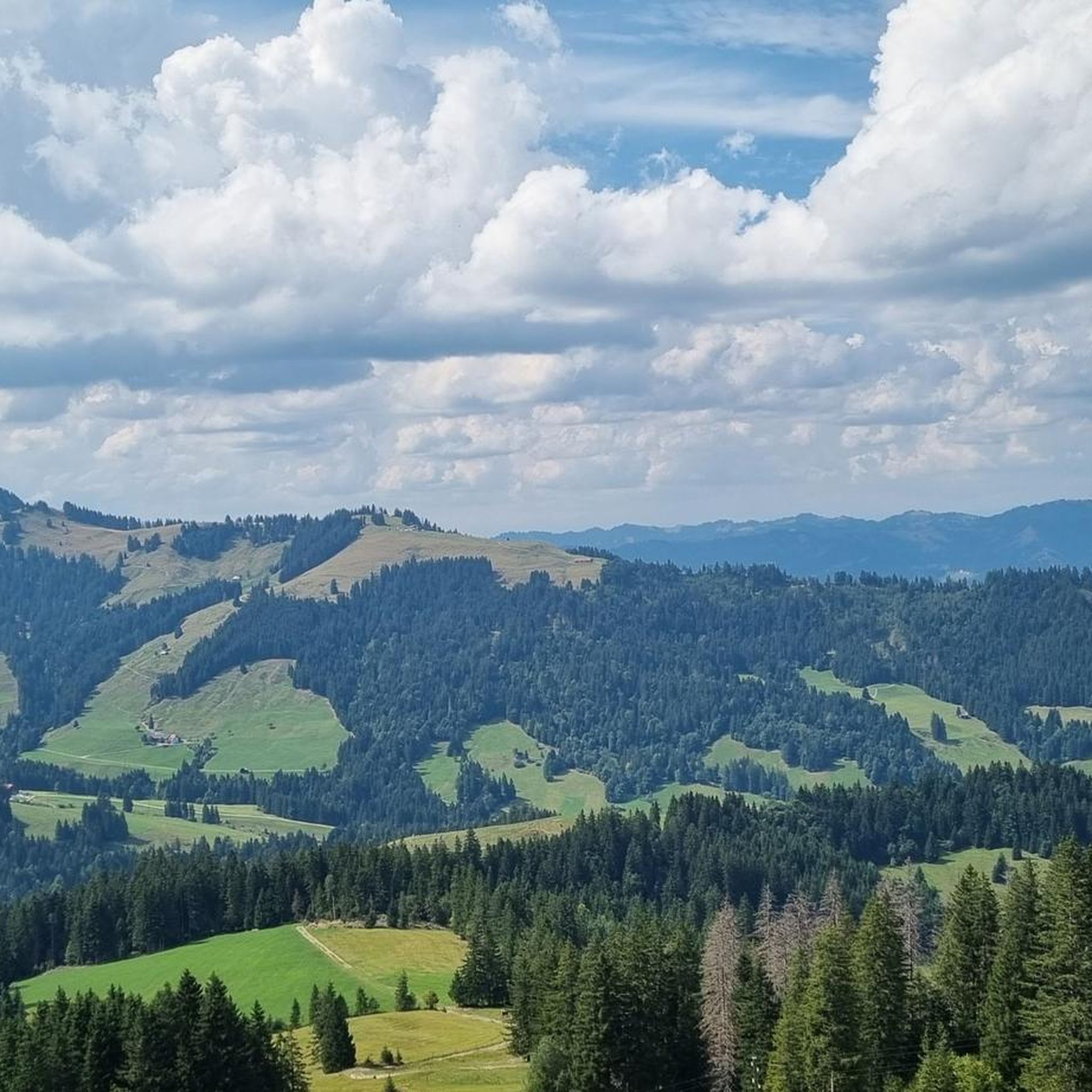
On the way to the Glaubenberg Pass, this route is a very pleasant alternative to the direct route through the valley from Wolhusen via Entlebuch. From the Reng Pass, it's only a short descent of a few meters until you rejoin the Glaubenberg route just before Finsterwalde.
0
0

Great little restaurant with super friendly service.
0
0


Super nice crossing from Eigenthal towards Schwarzenberg or vice versa. You just have to drive it.
2
0

No pain, no gain... But definitely worth it
0
0

Very beautiful pass. Quite tough with a 10% gradient from Giswil.
1
0

komootモバイルアプリでインスピレーションを得よう


さらに探索
これらのガイドでさらに壮大な山道を見てみましょうハースレ(LU)での:
