エッシュホルツマットの峠・トップ16
風景を楽しんだり、上りや下りを満喫したり、峠には楽しみ方がたくさんあります。エッシュホルツマットの素晴らしい峠の一覧を参照して、思い出に残るアドベンチャーに出かけましょう。コミュニティのメンバーがコミュニティのために投稿した峠のハイライトは、他のユーザーが実際におすすめする情報なので、どれも信頼できるものです。気に入った峠にさっそく向かってみましょう。
最終更新日: 10月 13, 2026
ヒルフェレン峠
ハイライト • 山道
翻訳者 Google •
役立つ情報 は

レートゲスリ峠
ハイライト • 山道
翻訳者 Google •
役立つ情報 は

今すぐサインアップして、こんな場所を発見しよう
最高のシングルトラック、ピーク、その他のエキサイティングなアウトドアスポットのおすすめを受け取ろう。
グラウベンビーレン峠
ハイライト • 山道
翻訳者 Google •
役立つ情報 は

グラウベンベルク峠
ハイライト • 山道
翻訳者 Google •
役立つ情報 は

サルネン発:グラウベンベルク峠
ハイライト (セグメント) • 山道
It gets pretty cold on the descent from Glaubenberg, so make sure you have something warm :)
役立つ情報 は

無料でサインアップして、さらに多くの山道を発見しましょう エッシュホルツマットでの。
すでにアカウントをお持ちですか?
無料アカウントで今日から始めよう
次の冒険が待っています。
コミュニティからのヒント


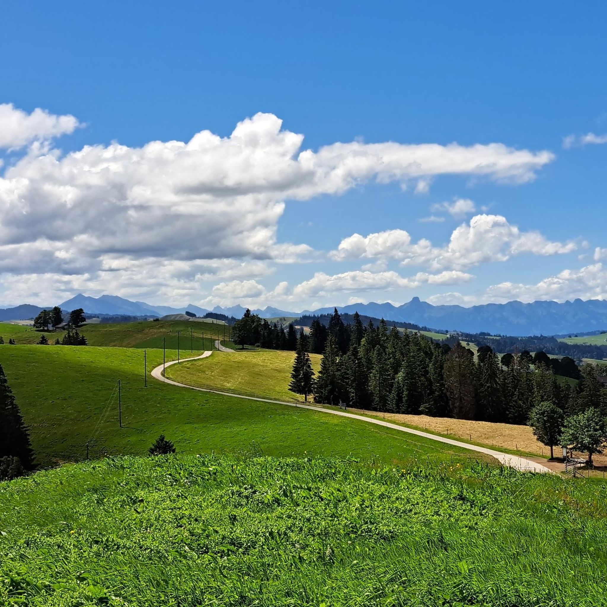
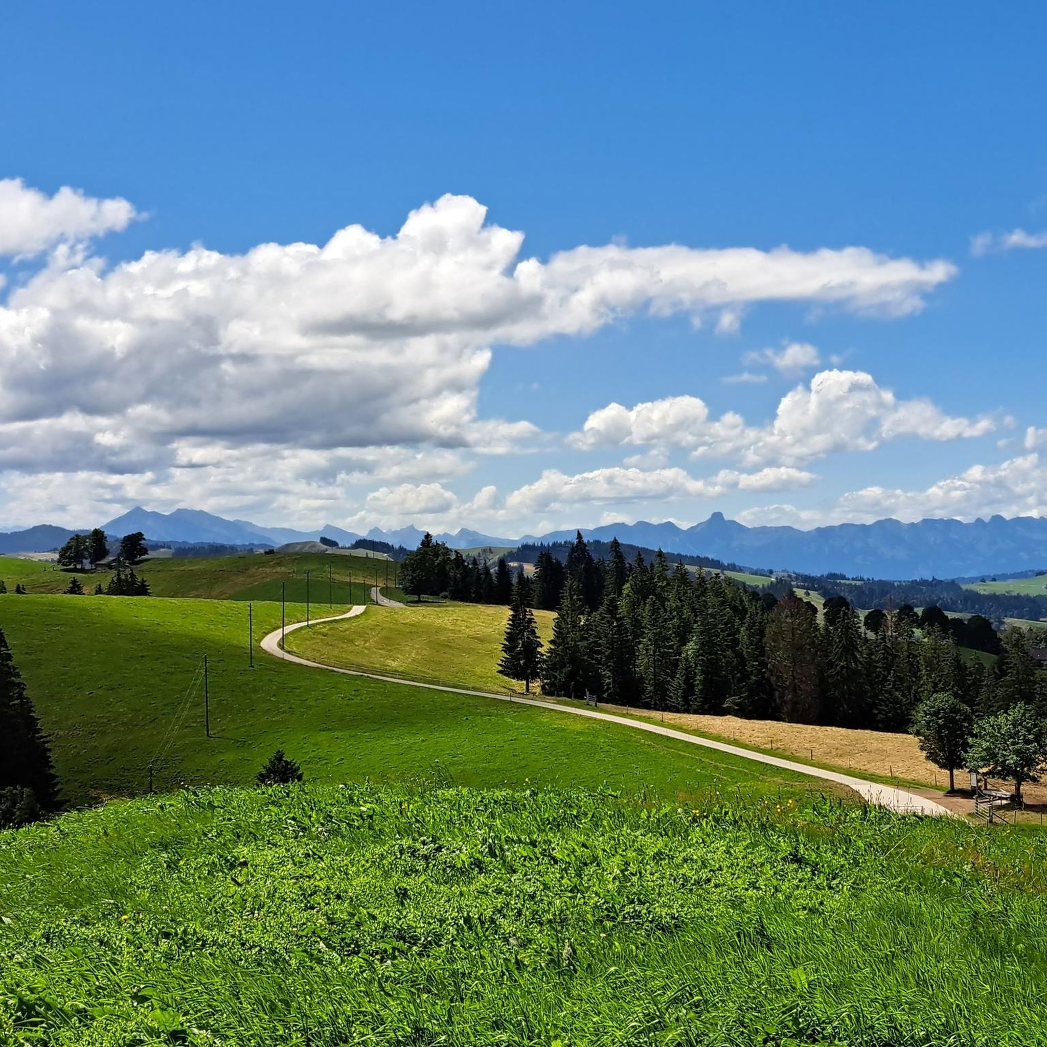
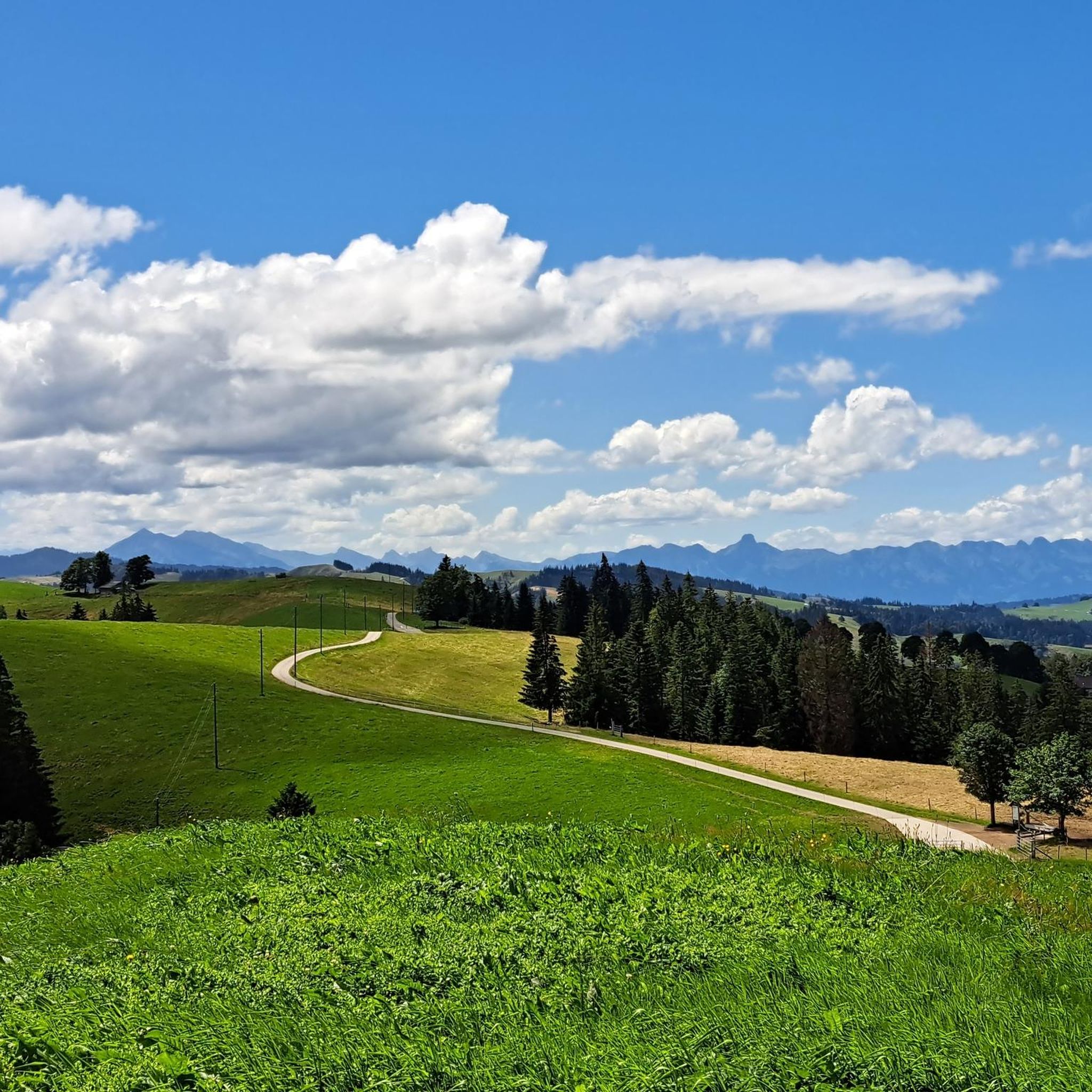
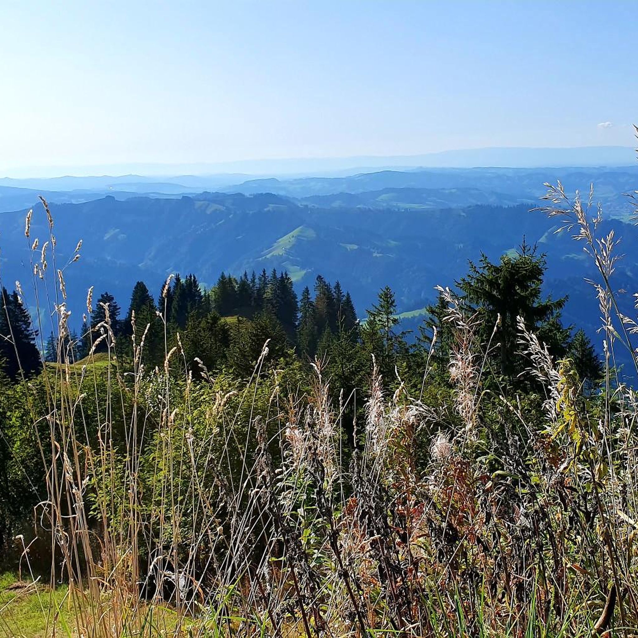
A small mountain pass between the cantons of Obwalden, from Giswil and Lucerne to Sörenberg. The route is narrow on the Obwalden side and in places only single-track, stretching with a very constant gradient of 8 to 12% over meadow slopes and forest up to the highest point. From the Lucerne side, starting at the Brienz Rothorn cable car valley station, it is also only two-track. The highest point is somewhat unspectacular, situated in the sparse mountain forest at the foot of a rock face; the actual pass summit is somewhat lower on the Lucerne side, where there is also a small kiosk.
0
0
A small mountain pass between the cantons of Obwalden and Lucerne, from Giswil to Sörenberg. The route is narrow on the Obwalden side and in places only single-track, stretching at a very constant gradient of 8 to 12% over meadow slopes and forest up to the highest point. From the Lucerne side, starting at the Brienz Rothorn cable car valley station, it is also only two-track. The highest point is somewhat unspectacular, situated in the sparse mountain forest at the foot of a rock face; the actual pass summit is somewhat lower on the Lucerne side, where there is also a small kiosk.
0
0

Great little restaurant with super friendly service.
0
0

No pain, no gain... But definitely worth it
0
0

Very beautiful pass. Quite tough with a 10% gradient from Giswil.
1
0

When you climb from Sörenberg, this is the point where you reach the ridge and see Lake Brienz and the peaks of the Bernese Oberland for the first time - breathtaking!
3
0

The "Lättgässli" is a gully on the north side of the Brienzer Grat with a developed, marked mountain hiking trail. The steep ascent and descent path is developed with steps in the upper part. Here the ridge path leading from the Rothorn changes from the south to the north side. It is therefore a kind of crossing over the Brienzer Grat at an altitude of 2160 m, without being a significant pass. Further down or west at Chrutere at an altitude of 2073 m, the path forks: to the southwest the path continues to the Chrutere pass and from there down to Planalp and Brienz; a steep path with a lot of scree leads down to the north on the steep northern slope of the mountain range down to Rossweid with the gondola down to Sörenberg or as a hiking trail to Sörenberg. Addition: As late as mid-June (2024) there was a lot of snow in the wide crevice. The ascent or descent was quite difficult. The wire rope safety device was absolutely necessary, but also problematic, namely far too loose, as it was obviously aimed at the steps further away.
4
2
エッシュホルツマットでのの人気観光スポット

komootモバイルアプリでインスピレーションを得よう


さらに探索
これらのガイドでさらに壮大な山道を見てみましょうエッシュホルツマットでの:
