キーム湖周辺のおすすめ滝ハイキング&ウォーキング
4.5
(31376)
154,609
ハイカー
27
ハイキング
komootでは、キーム湖でのの自然の素晴らしさを紹介するため、このエリアでおすすめの滝ハイキング&ウォーキングを集めたリストを作成しました。連なる瀑布から穏やかな滝まで、キーム湖でので人気の高い滝ハイキングのルートをご覧ください。
最終更新日: 8月 27, 2026
4.5
(92)
305
ハイカー
10.5km
02:59
160m
160m
中程度のハイキング. ある程度のフィットネスレベルが必要です。 全般的に進みやすいルートです。安定して歩行できる技術が必要です。
4.8
(84)
378
ハイカー
18.6km
07:25
1,180m
1,180m
難しいハイキング. 標準以上のフィットネスレベルが必要です。 安定して歩行できる技術、丈夫な靴、高標高地での登山経験が必要です。

無料新規登録
4.7
(87)
332
ハイカー
9.20km
02:31
130m
130m
中程度のハイキング. ある程度のフィットネスレベルが必要です。 進みやすいルートです。あらゆるスキルレベルに適しています。
4.8
(58)
272
ハイカー
2.40km
00:44
70m
70m
初級者向けハイキング. あらゆるフィットネスレベルに適しています。 進みやすいルートです。あらゆるスキルレベルに適しています。
4.7
(12)
61
ハイカー
22.1km
07:55
1,070m
1,070m
難しいハイキング. 標準以上のフィットネスレベルが必要です。 全般的に進みやすいルートです。安定して歩行できる技術が必要です。
さらに多くのルートや他のユーザーのおすすめ情報を確認できます。
無料新規登録
すでにアカウントをお持ちですか?
おすすめのツアーは他のkomootユーザーが実際に経験した何千ものアクティビティに基づいています。
無料アカウントで今日から始めよう
次の冒険が待っています。
ログインまたは登録
キーム湖周辺で人気
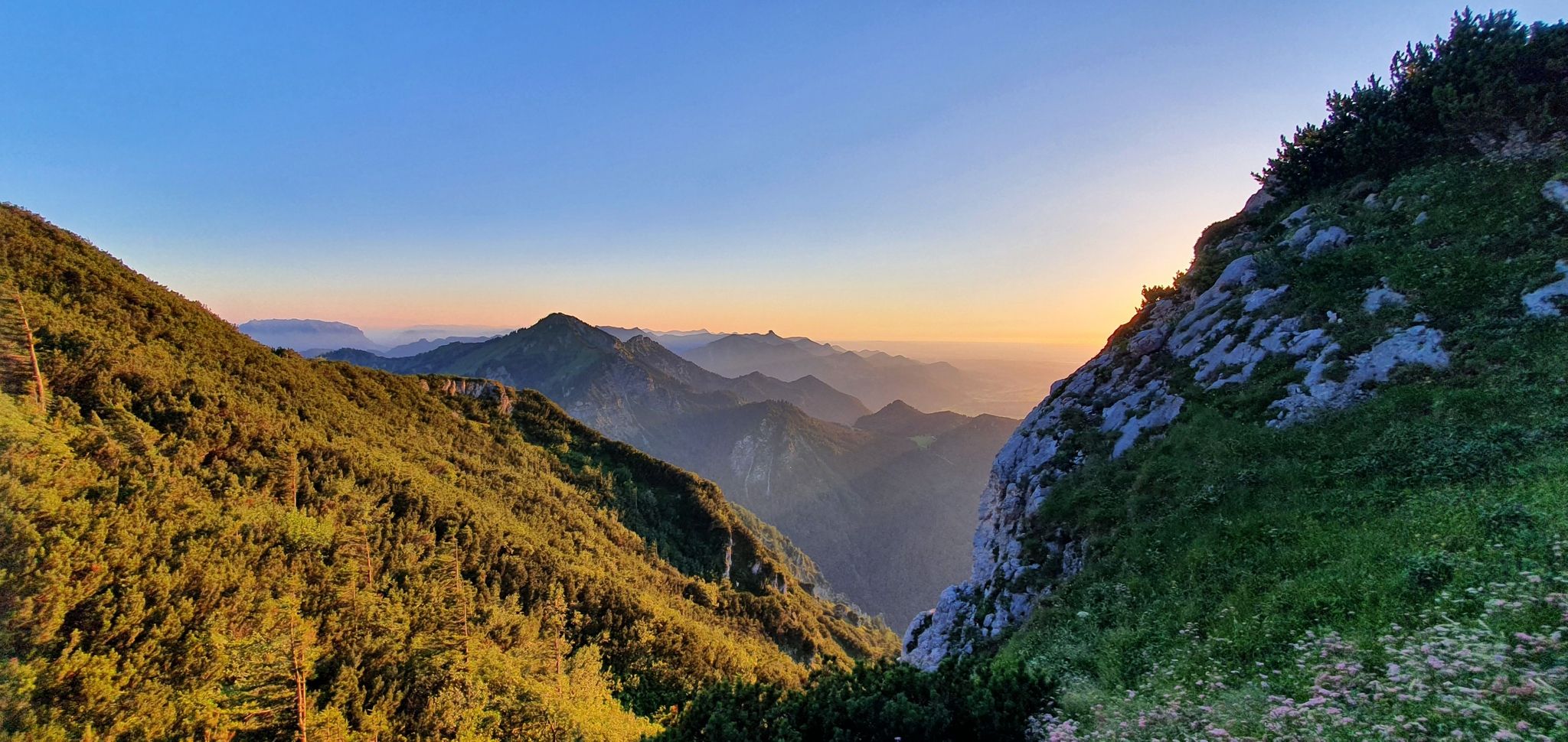
白い金の跡を追う:ザルツ・アルペンシュタイグ

ボーデンザーからケーニッヒゼーまで、マクシミリアンスウェグを通って

Hiking through Bavaria's cultural landscapes

国境のないハイキング - ドイツとオーストリアの山地ツアー

Thousands of kilometres of hiking fun – long-distance hiking trails in Bavaria
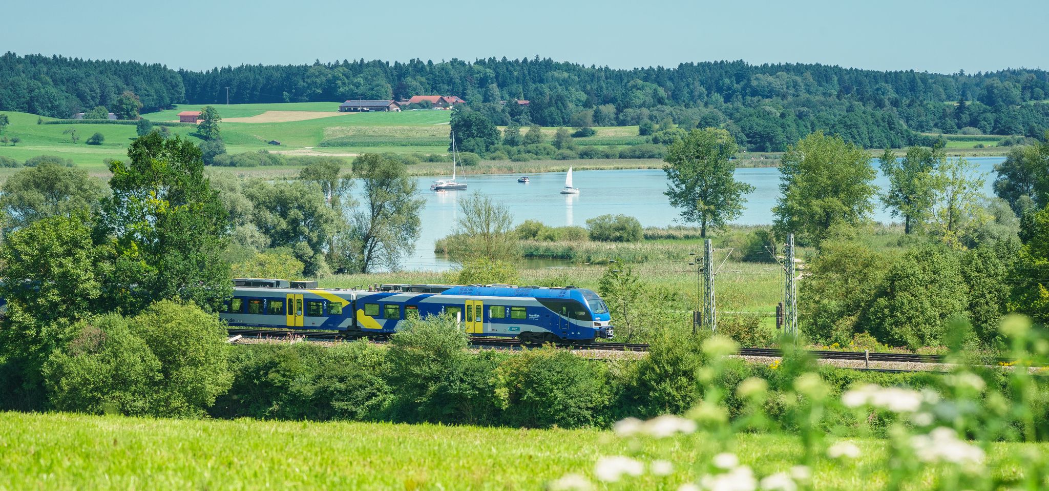
Out of the city – summer retreats with the Bavarian Regiobahn
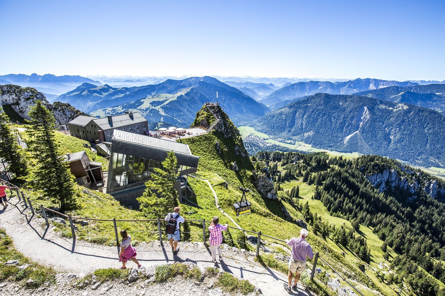
A little help to the top – mountain railways & cable cars in Chiemgau
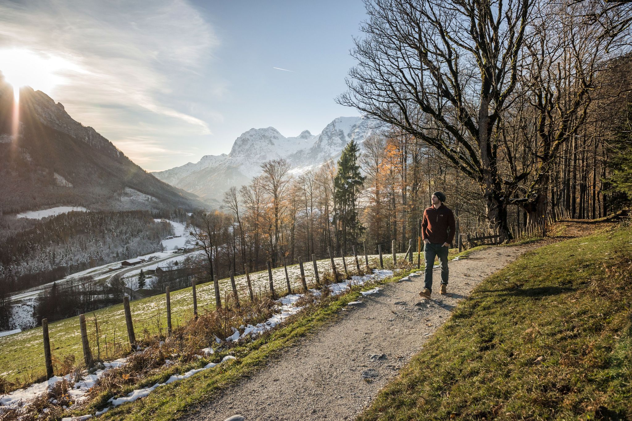
8 delightful winter hikes in Upper Bavaria
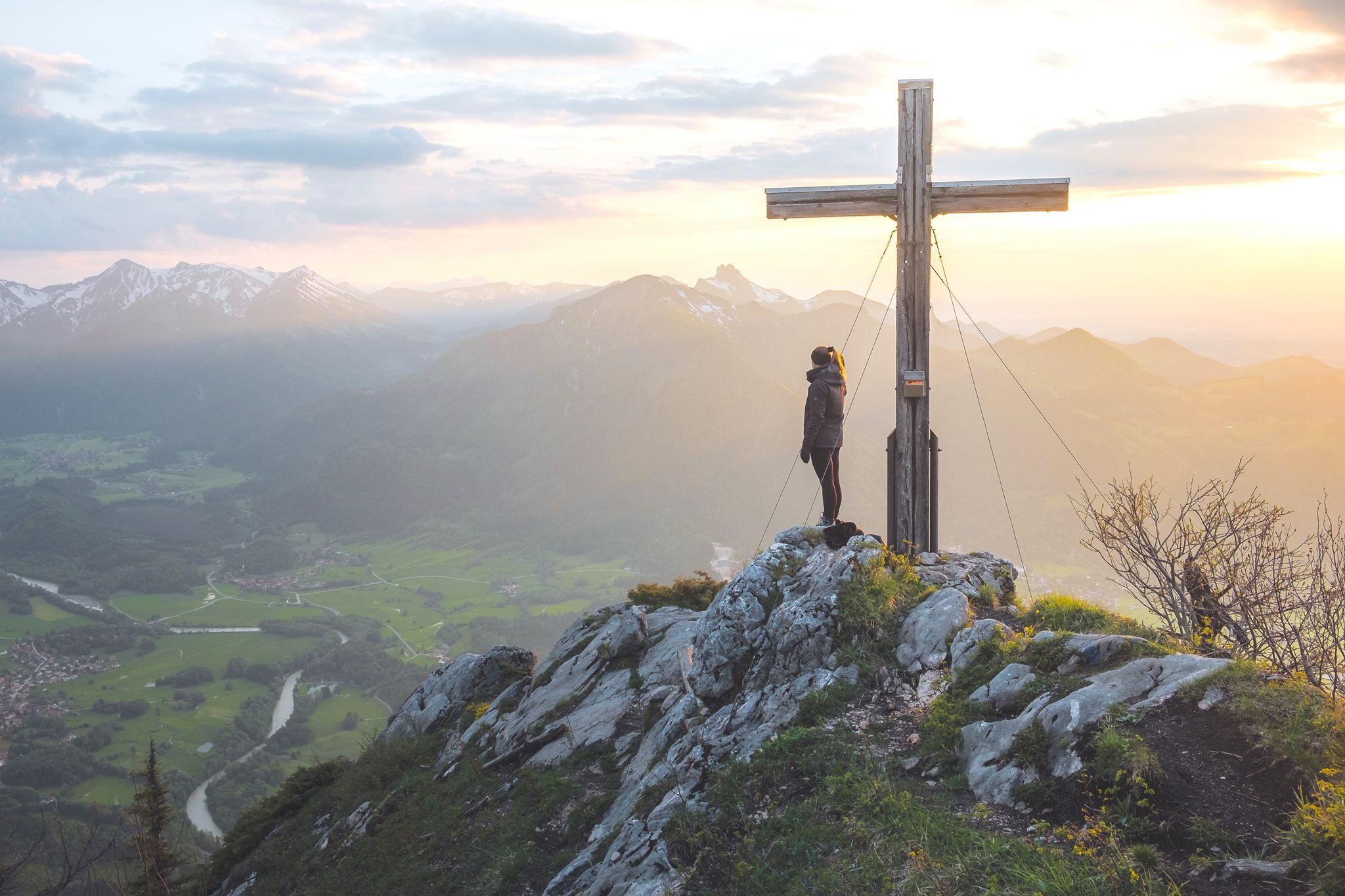
チェムガウとベルクテスガデナー地方で高く
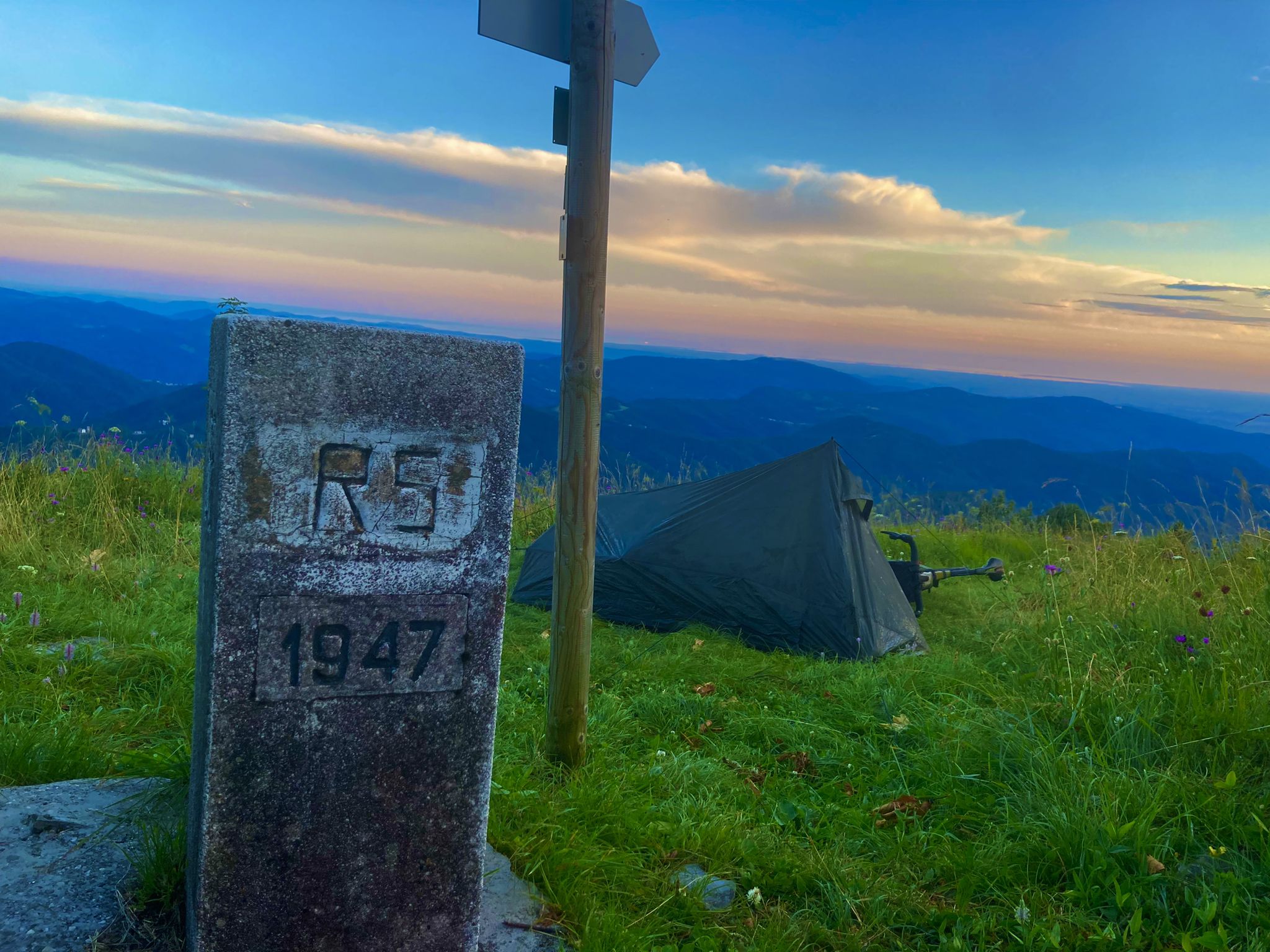
バイエルンからアドリア海まで - クロアチアへのバイクパッキング冒険 2023
キーム湖でのの他の冒険


コミュニティからのヒント


The paid parking area for hikers is located on the left-hand side of the ST 2093 towards Sachrang, near the village of Hainbach.
1
0

From the one-story observation tower, you have a sweeping view of the Kendlmühlfilzen core area. An information board in front of the tower tells you about the former peat extraction and transport by rail.
4
0

Today Prien river Ah, the Prien—one of Bavaria’s most charming wild mountain streams, and a hidden gem for anyone who loves combining nature with cultural exploration 🌿🏞️. 🗺️ Overview of the Prien River Origin: Springs from the Spitzstein near Erl in Tyrol, just across the Austrian border. Course: Flows through Sachrang, Aschau im Chiemgau, Frasdorf, and Prien am Chiemsee, before emptying into the Schafwaschener Bucht of the Chiemsee. Length: About 45.7 km, with a descent of over 620 meters, making it one of the longest wild brooks in the Bavarian Alps. Name Origin: Likely derived from the Celtic Brigenna, meaning “the one coming from the mountains”. 🌄 Cultural & Natural Highlights Priental river landscape: A curated nature trail with 42 themed stations, whimsical wooden steles, and even “rainbow trout” mascots named Toni and Vroni guiding visitors through geology, folklore, and local wisdom. Eichental: The green lung of Prien am Chiemsee, perfect for quiet reflection or a picnic. Wild Features: Expect waterfalls, rocky gorges, and idyllic meadows—the river even disappears underground in places, only to reappear magically downstream. 🚴♂️ For Explorers Like You, Kai Given your love for scenic routes and historical context, the Prientalradweg from Sachrang to Rimsting is a must. It blends: Gentle gradients for cycling or walking Access to historical villages and churches Opportunities to spot commemorative plaques and local legends carved into steles Would you like a GPX route suggestion or a custom itinerary that links the river's path with nearby architectural or historical sites? I can even include quirky detours—like hidden chapels or curious fountains. Edit on one page German Of course, Kai! Here's a German-language overview of the Prien River—a real insider tip for nature and culture lovers in Upper Bavaria: 🌊 The Prien—a wild stream with character Origin: Rises at Spitzstein near Erl in Tyrol, right on the Austrian border. Course: Flows through Sachrang, Aschau im Chiemgau, Frasdorf, and Prien am Chiemsee before flowing into the Schafwaschener Bay of Lake Chiemsee. Length: Approximately 45.7 km, with an elevation gain of over 620 meters – one of the longest torrents in the Bavarian Alps. Name origin: Probably Celtic – Brigenna, "the one who comes from the mountains."
0
0

Very beautiful stream along the path
0
0

A wonderful place in a green oasis, great play opportunities for children
0
0

komootモバイルアプリでインスピレーションを得よう


さらに探索
他の地域の最高のハイキングを見てみましょう。
