ナントでの周辺の簡単なハイキングとウォーキング
4.5
(3852)
24,692
ハイカー
1,525
ハイキング
ナント周辺の簡単なハイキングコースは、ロワール川、エルドル川、セーヴル・ナンテーズ川といった主要な川が形作った多様な景観を巡ります。この地域には、広大な川岸、ミュスカデのブドウ畑、そしてゴレーヌ湿地のような重要な湿地帯があります。地形は一般的に、水路沿いの平坦な道、ブドウ畑を抜ける緩やかな坂道、そして森林地帯を含み、アウトドアアクティビティに適した変化に富んだ自然環境を提供します。
ナント周辺の最高の簡単なハイキングコース
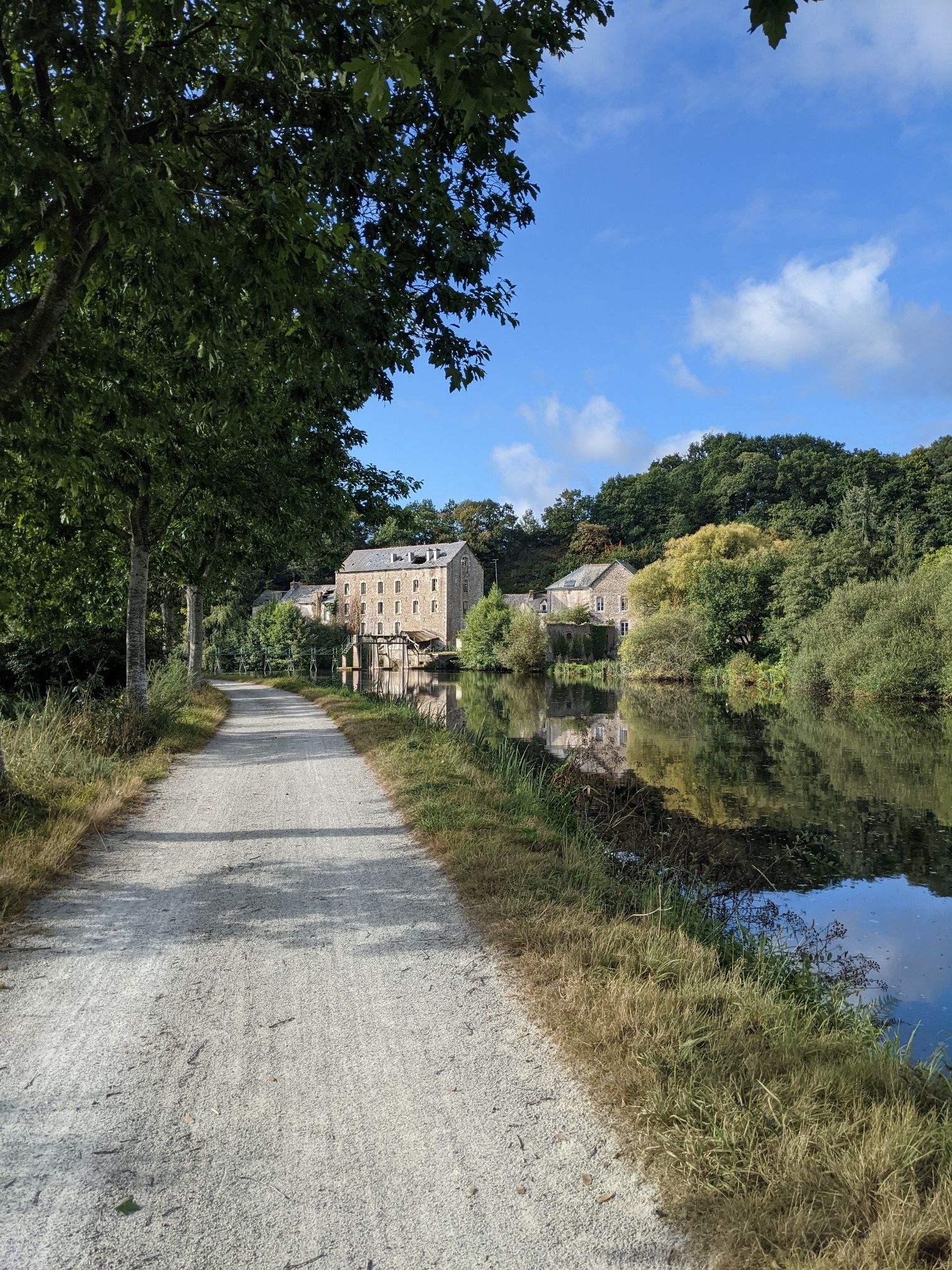
- 最も人気のある簡単なハイキングルートは、マルティニエール運河 — ペルランからのループです。このコースは6.7kmで、所要時間は1時間42分で、静かな運河沿いをたどります。
- 地元のハイカーに人気のもう一つのコースは、クレマンティーヌ島 — サント・リュス・シュル・ロワールからのループです。これは5.8kmの簡単なコースで、ロワール川の川岸沿いの景色を楽しめます。
- 地元のハイカーに愛されているのは、ガレンヌ=ルモット邸 — クリッソンからのバレーブリッジループです。この7.4kmのコースは、歴史的な邸宅の敷地と風光明媚な谷を通り抜け、所要時間は約1時間59分です。
- ナント周辺のハイキングは、川岸、ミュスカデのブドウ畑、湿地帯が特徴です。このネットワークは、簡単なハイキングコースに焦点を当て、さまざまなレベルのハイカーに対応するオプションを提供しています。
- ナントのルートは、komootコミュニティから高く評価されており、3,000件以上のレビューで平均4.5つ星を獲得しています。22,000人以上のハイカーがkomootを利用して、ナントの多様な地形を探索しています。
最終更新日: 10月 10, 2026
4.7
(24)
143
ハイカー
6.71km
01:42
10m
10m
初級者向けハイキング. あらゆるフィットネスレベルに適しています。 進みやすいルートです。あらゆるスキルレベルに適しています。
4.2
(13)
39
ハイカー
5.76km
01:28
10m
10m
初級者向けハイキング. あらゆるフィットネスレベルに適しています。 進みやすいルートです。あらゆるスキルレベルに適しています。

4.8
(58)
338
ハイカー
6.97km
01:52
80m
80m
初級者向けハイキング. あらゆるフィットネスレベルに適しています。 進みやすいルートです。あらゆるスキルレベルに適しています。
4.7
(21)
139
ハイカー
6.41km
01:39
30m
30m
初級者向けハイキング. あらゆるフィットネスレベルに適しています。 進みやすいルートです。あらゆるスキルレベルに適しています。
4.9
(52)
316
ハイカー
5.47km
01:27
60m
60m
初級者向けハイキング. あらゆるフィットネスレベルに適しています。 進みやすいルートです。あらゆるスキルレベルに適しています。
4.8
(24)
82
ハイカー
4.84km
01:19
70m
80m
初級者向けハイキング. あらゆるフィットネスレベルに適しています。 進みやすいルートです。あらゆるスキルレベルに適しています。
4.9
(21)
84
ハイカー
4.88km
01:19
60m
60m
初級者向けハイキング. あらゆるフィットネスレベルに適しています。 進みやすいルートです。あらゆるスキルレベルに適しています。
4.9
(15)
66
ハイカー
4.32km
01:09
50m
50m
初級者向けハイキング. あらゆるフィットネスレベルに適しています。 進みやすいルートです。あらゆるスキルレベルに適しています。
4.5
(4)
97
ハイカー
5.90km
01:31
30m
30m
初級者向けハイキング. あらゆるフィットネスレベルに適しています。 進みやすいルートです。あらゆるスキルレベルに適しています。
5.0
(8)
131
ハイカー
4.97km
01:21
70m
70m
初級者向けハイキング. あらゆるフィットネスレベルに適しています。 進みやすいルートです。あらゆるスキルレベルに適しています。
さらに多くのルートや他のユーザーのおすすめ情報を確認できます。
すでにアカウントをお持ちですか?
おすすめのツアーは他のkomootユーザーが実際に経験した何千ものアクティビティに基づいています。
無料アカウントで今日から始めよう
次の冒険が待っています。


ナントでのの他の冒険


コミュニティからのヒント

The Touffou Forest is a small green lung in the Nantes metropolitan area. In 1977, the Department acquired 47 of the 230 hectares of this forest, located in Vertou, and opened it to the public. Once a hunting ground for the Dukes of Brittany and a source of income thanks to forestry, the Touffou Forest covered more than 6,000 hectares in the 16th century. Today, 25 times smaller, it has become very attractive but remains an area that needs protection. https://www.loire-atlantique.fr/44/nature-balades/la-foret-de-touffou/c_1387104
0
0


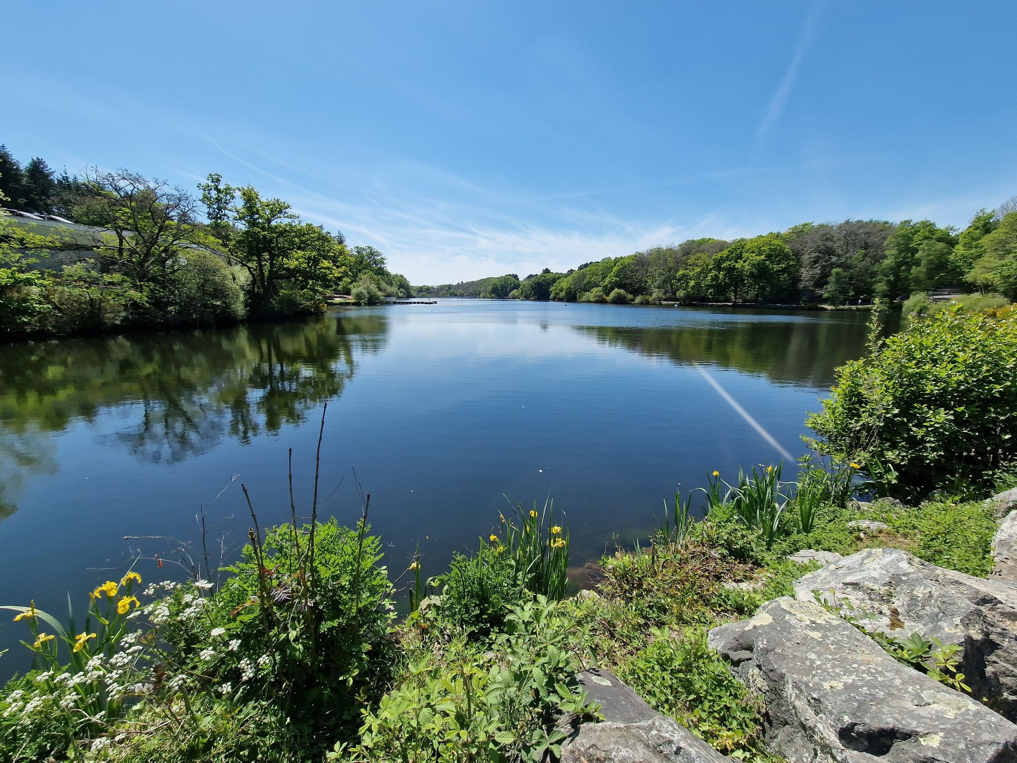
The idyllically situated "Etang du Plessis" is available in the komoot system not only for joggers, but also as a highlight for various sports, including hikers, with additional photos uploaded there. If you're interested, see =>> https://www.komoot.com/de-de/highlight/5834270
0
0


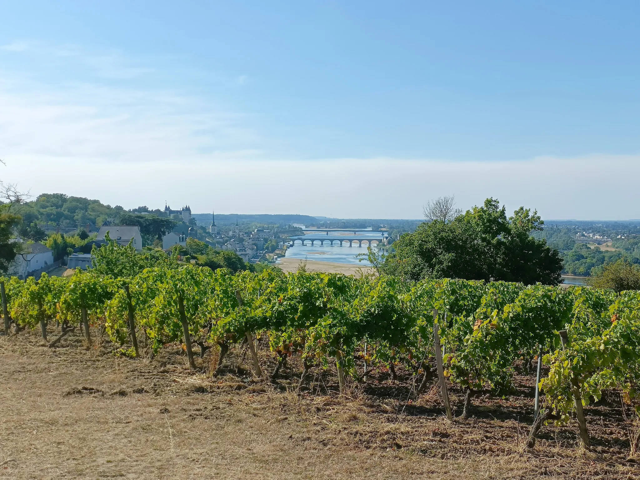
Beautiful view, very nice spot in the middle of the vineyards. The climb (St-Seb side) before is very steep and rocky, gullied and will require a lot of juice. I did 2/3 but not the right gear and finished on foot. I was on 35mm gravel tires in hot and dry weather, greasy weather it must be something else.
0
0

This temple, built on the Saint-Gilles hillside, has been listed as a Historic Monument since March 14, 1988. It owes its name to the friendship between the Cacault brothers and the sculptor François-Frédéric Lemot, initiators and creators of Clisson's Italianate architecture in the early 19th century. Pierre Cacault wanted to build a mausoleum in memory of his brother François, who died in Clisson on October 10, 1805, but he lacked sufficient financial means. ➢ It was François-Frédéric Lemot who helped his friend carry out his project. He purchased the former Saint-Gilles-et-Saint-Brice chapel and its outbuildings at the end of 1808. The buildings are part of the cemetery, which has long been used for the burial of parishioners from all over Clisson, except for La Trinité. ➢ Paul de Berthou states in his work "Clisson and its Monuments" that "...the church of St. Gilles and St. Brice had been large and beautiful, but a lord of Clisson had its proportions reduced because it overlooked the castle too closely and posed a danger to him in the event of a siege." ➢ The remodeled church includes two chapels forming arms of the cross, one dedicated to the Blessed Virgin and the other to St. John the Evangelist, whose brotherhood once sat on this site. A small bell tower, containing two bells, stands at the crossing of the transept. ➢ Pierre Cacault died on January 29, 1810. François-Frédéric Lemot took over the project and decided that the monument would be dedicated to the memory of the two brothers. In 1811, he acquired land on the Saint-Gilles hillside and commissioned the architect Mathurin Crucy to draw up the plans. ➢ The first project was inspired by Greek temples. Mr. Crucy proposed a plan representing a peripteral temple of the Doric order, without a base, with six columns on the façade, surmounted by a pediment. F.F. Lemot simplified the plan, retaining a "cella" and four Doric columns surmounted by a triangular pediment on the façade. This choice recalls the Temple of the Sybil in Tivoli and is found in other contemporary monuments (the Temple of Friendship in Belz, the memorial monument to the victims of Quiberon in Auray). ➢ The Temple of Friendship was built between 1812 and 1824 on the former foundations of the parish church of Saint Gilles. The side chapels were razed, their foundations later serving to build a small, asymmetrical transept. The old nave was demolished and the walls rebuilt in line with those of the choir, with the entrance door on the side of the current cemetery. ➢ It took several years before the roof was laid and the plastering completed (1824). ➢ This temple was to house the tombs of the Cacaults. Antoine Peccot (1766-1814), a friend of Mr. Crucy, the Cacaults, and F.F. Lemot, had proposed, before 1814, that a dedication be inscribed to the Cacault brothers. The poem invited passersby to remember the talents, virtues, and prodigal benefits of these two brothers. The inscription was never engraved. The tombs were never built because the heirs of the Cacault brothers did not authorize the transfer of the ashes of Pierre and François (buried in Nantes). .➢ On May 6, 1827, François-Frédéric Lemot died in Paris. His body, repatriated to Clisson on May 18, was buried in the Temple of Friendship. ➢ On September 17, 1829, this tomb was blessed by the vicar of Notre-Dame. From then on, the site was designated: "Lemot Chapel" or "Chapel of the Blessed Virgin." Permission was granted to sing the station mass there on St. Mark's Day, as well as on Rogation Day, and to say devotional low masses. ➢ The monument underwent restoration in 1995.
0
0
よくある質問
ナント周辺には、どのくらいの数の簡単なハイキングコースがありますか?
ナント周辺には700以上の簡単なハイキングコースがあり、川岸からブドウ畑、湿地帯まで、さまざまな景観を提供しています。komootコミュニティは、この地域全体で合計1,400以上のルートを探索しています。
ナント近郊の簡単なハイキングでは、どのような地形が期待できますか?
ナント周辺の簡単なハイキングでは、多様な地形が楽しめます。ロワール川、エルドル川、セーブル・ナンテーズ川沿いの平坦な道、ミュスカデのブドウ畑を通る緩やかな坂道、そして木々が生い茂るエリアがあります。この地域には、ゴレーヌ湿地帯のような重要な湿地帯も含まれており、変化に富んだ自然環境を提供しています。
ナント周辺に、周回できる簡単な散策コースはありますか?
はい、ナント周辺の簡単なコースの多くは周回型です。例えば、ペルランからのカナル・ド・ラ・マルティニエール周回コースは、静かな6.7kmの周回コースを提供しています。もう一つの選択肢は、ロワール川の川岸沿いを巡る5.8kmの周回コースである、サント・リュス・シュル・ロワールからのクレマンティーヌ島周回コースです。
簡単なハイキングでは、どのような自然景観やランドマークを見ることができますか?
多くの簡単なハイキングコースでは、この地域の自然の美しさや史跡の景色を楽しむことができます。注目すべき自然記念物であるブット・ド・ラ・ロッシュを探索したり、静かなエタン・ド・ロッシュ・バルーを発見したりできます。クリソンからのガレンヌ・ルモット邸宅と谷の橋の周回コースは、史跡の敷地と景色の良い谷を通るコースです。
ナント地域には、家族向けの簡単な散策コースはありますか?
もちろんです。ナント周辺の簡単なコースは、一般的に家族連れに適しています。ラ・ポムレからの美しい松林と湖の周回コースのようなルートは、自然の中での快適で難易度の低い散策を提供しており、あらゆる年齢層に最適です。平坦な川岸の道も、家族での外出に最適です。
眺めの良い簡単なハイキングコースはありますか?
はい、いくつかの簡単なハイキングコースでは、素晴らしい眺めを楽しむことができます。地形は一般的に緩やかですが、古い採石場に造られたジャルダン・エクストラオルディネールのような場所では、庭園とロワール川の息をのむような景色を望む展望台があります。ミュスカデのブドウ畑からも、ナントの田園風景の美しい眺めが楽しめます。
ナントでの簡単なハイキングについて、他のハイカーが最も楽しんでいる点は何ですか?
ナント周辺の簡単なハイキングコースは、komootコミュニティから高く評価されており、3,000件以上のレビューから平均4.5つ星を獲得しています。ハイカーは、静かな川岸、絵のように美しいブドウ畑の風景、そして街の内外で自然にアクセスしやすい点をよく称賛しています。
セーブル・ナンテーズ川沿いに、簡単なハイキングコースはありますか?
はい、セーブル・ナンテーズ川沿いには、美しい簡単なハイキングの機会があります。メゾン・ラディエューズからのセーブル川岸周回コースは、川岸沿いのブドウ畑と木々が生い茂る小道の広々とした景色を提供する素晴らしい例です。ヴェルトゥ近郊の歴史的なショセ・デ・モワンヌも人気のスポットです。
ナント周辺で簡単なハイキングを楽しむのに最適な時期はいつですか?
ナント周辺での簡単なハイキングには、春と秋が理想的です。花が咲き誇る春も、鮮やかな紅葉の秋も、快適な気温と美しい景色を楽しめます。夏も、特に川沿いや森の中の日陰のルートには素晴らしい条件です。冬の散策は、特に鳥の生息地として知られるゴレーヌ湿地帯のようなエリアでは、爽快な体験になるでしょう。
史跡や城の近くを通る簡単なハイキングコースはありますか?
はい、簡単なハイキングと歴史探訪を組み合わせることができます。クリソンからのクリソン城と谷の橋の周回コースは、印象的なクリソン城を通り過ぎ、景色の良い谷を抜ける簡単なルートで、自然と歴史の融合を提供します。
ミュスカデのブドウ畑を巡る簡単なトレイルはありますか?
もちろんです。ナント周辺地域はミュスカデワインで有名で、これらのブドウ畑をハイキングするのはユニークな体験です。ラ・エ・フアシエールにある「ミュスカデ周回コース」は、緑豊かなブドウ畑と田園風景の中をハイカーを案内し、ナントの田園風景の眺めを提供する有名なルートです。ブドウ畑の散策に関する詳細は、visitnantesvineyard.comでご覧いただけます。
ナント近郊で、あまり混雑していない簡単なハイキングコースはありますか?
人気のスポットは多くの訪問者を引き付けることがありますが、この地域の広大な川岸や湿地帯の多くは、より静かな散策の機会を提供しています。ゴレーヌ湿地帯や、エルドル川、ロワール川のあまり知られていない川岸のエリアを探索すると、特にオフピークの時間帯や平日に、より静かな体験が得られるでしょう。
ナントでのの人気観光スポット

komootモバイルアプリでインスピレーションを得よう


探していたものは見つかりませんでしたか?
ナントの下にある他のハイキングをチェックして、目的地で完璧なルートを見つけましょう。
さらに探索
他の地域の最高のハイキングを見てみましょう。
