グラースヒュッテンのおすすめウォーキング&ハイキングルート
4.6
(3821)
13,875
ハイカー
283
ハイキング
グラースヒュッテン周辺でのハイキングは、景色を満喫するのに最適な手段のひとつですが、適切なハイキングルートを見つけることは簡単ではありません。 グラースヒュッテン周辺の人気ハイキング&ウォーキングコースを参考にすれば、行きたいルートをすぐに見つけられます。
最終更新日: 10月 17, 2026
4.7
(529)
1,945
ハイカー
9.37km
02:44
250m
250m
中程度のハイキング. ある程度のフィットネスレベルが必要です。 進みやすいルートです。あらゆるスキルレベルに適しています。
4.5
(213)
593
ハイカー
初級者向けハイキング. あらゆるフィットネスレベルに適しています。 進みやすいルートです。あらゆるスキルレベルに適しています。

4.7
(248)
816
ハイカー
5.02km
01:28
140m
140m
初級者向けハイキング. あらゆるフィットネスレベルに適しています。 進みやすいルートです。あらゆるスキルレベルに適しています。
4.7
(114)
464
ハイカー
6.43km
01:56
200m
200m
初級者向けハイキング. あらゆるフィットネスレベルに適しています。 進みやすいルートです。あらゆるスキルレベルに適しています。
4.5
(134)
482
ハイカー
6.49km
01:48
120m
120m
初級者向けハイキング. あらゆるフィットネスレベルに適しています。 進みやすいルートです。あらゆるスキルレベルに適しています。
さらに多くのルートや他のユーザーのおすすめ情報を確認できます。
すでにアカウントをお持ちですか?
おすすめのツアーは他のkomootユーザーが実際に経験した何千ものアクティビティに基づいています。
無料アカウントで今日から始めよう
次の冒険が待っています。
グラースヒュッテン周辺で人気
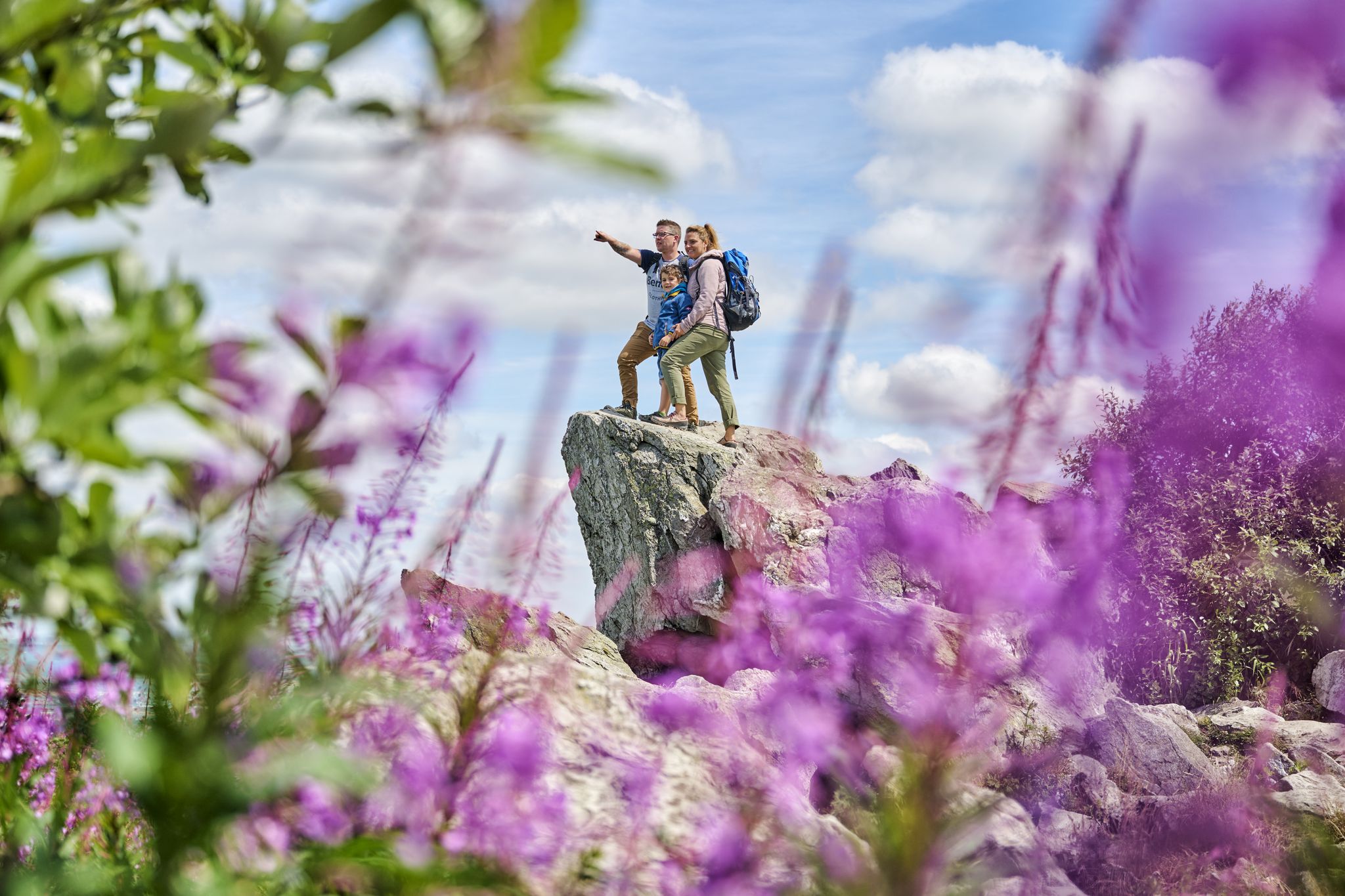
History, forest and gnomes – hiking in Germany’s Hochtaunus region
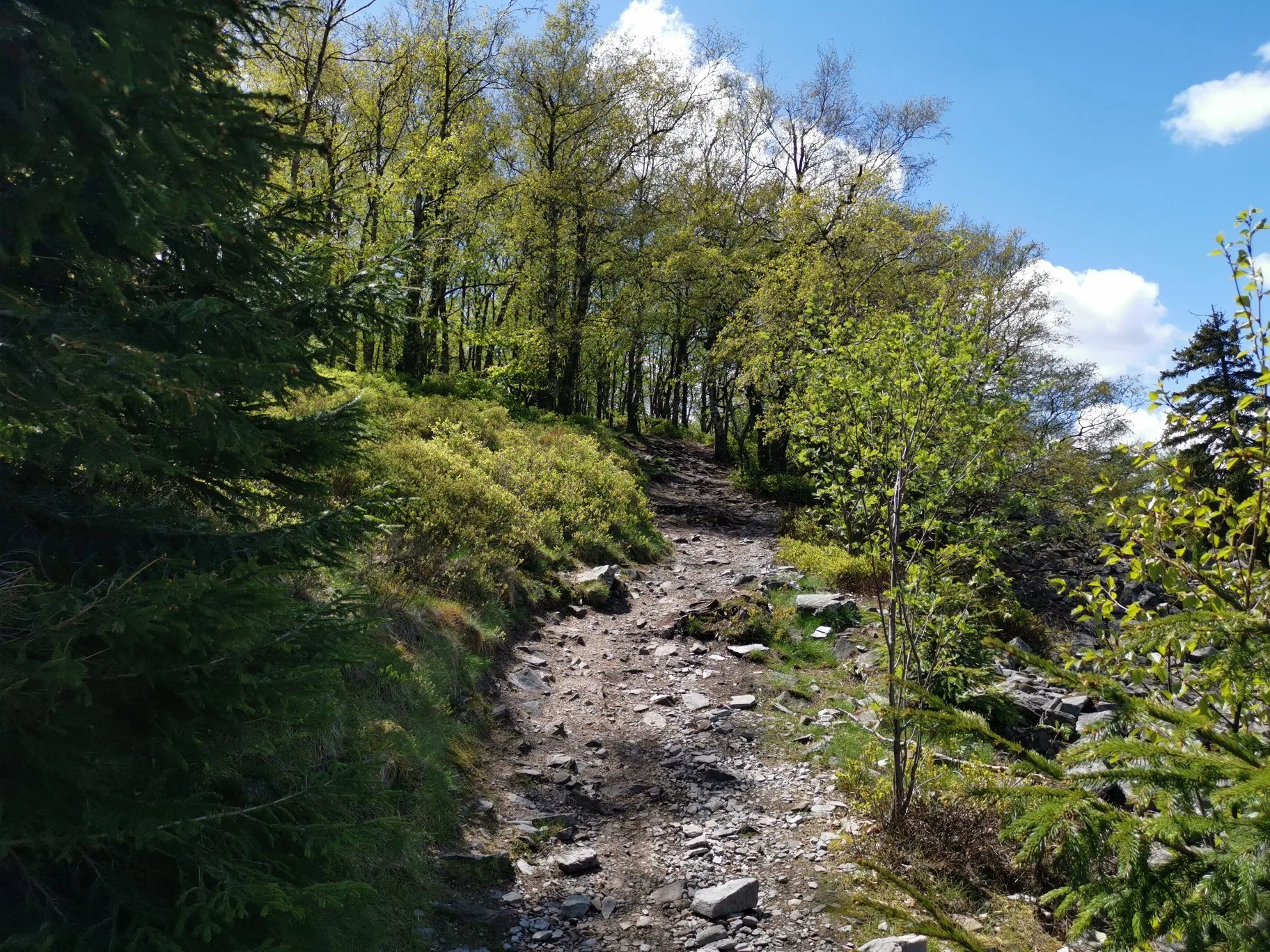
フランクフルトの近くの秋のハイキング
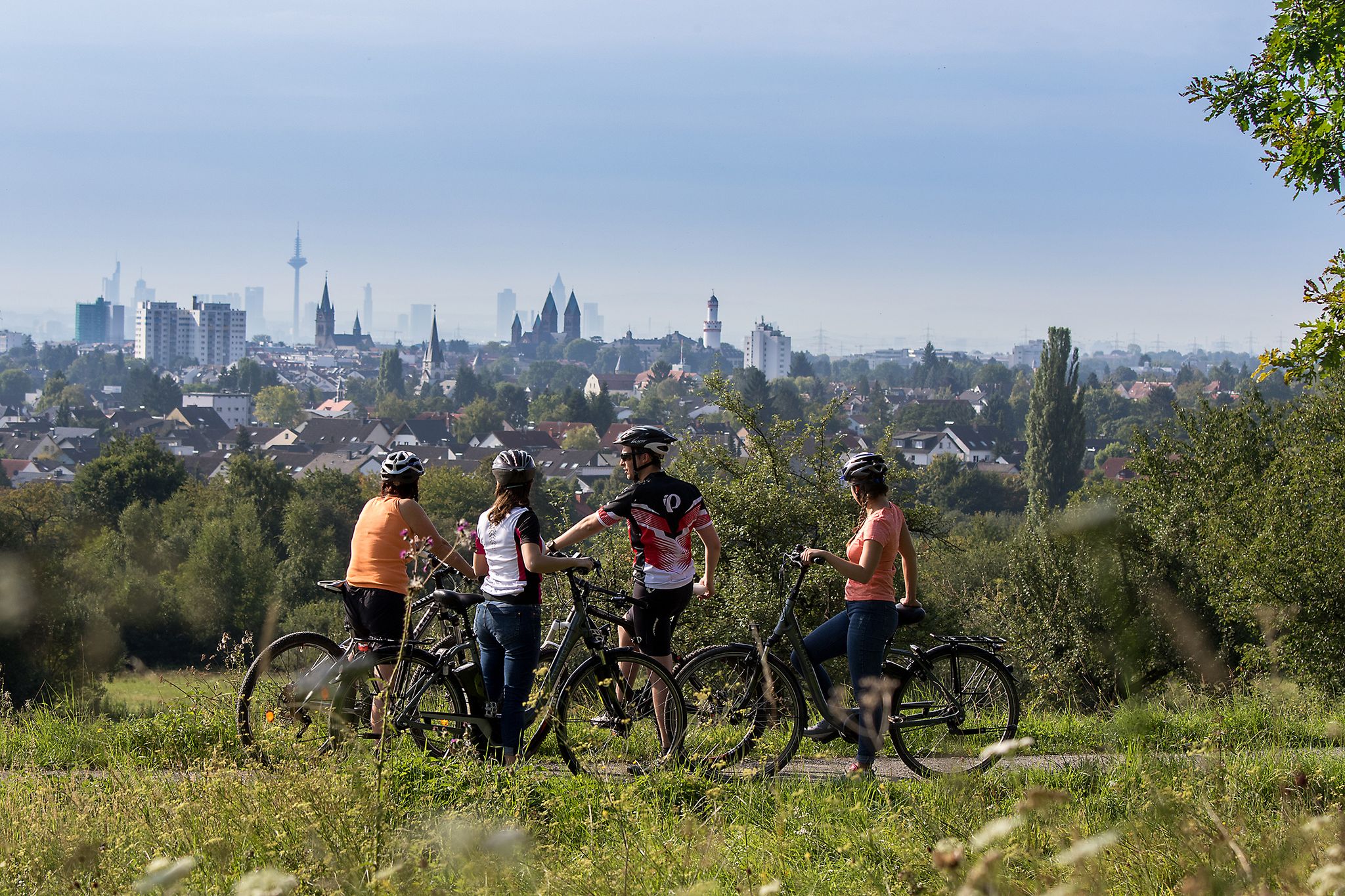
From safari to world heritage — cycling tours in the Taunus region
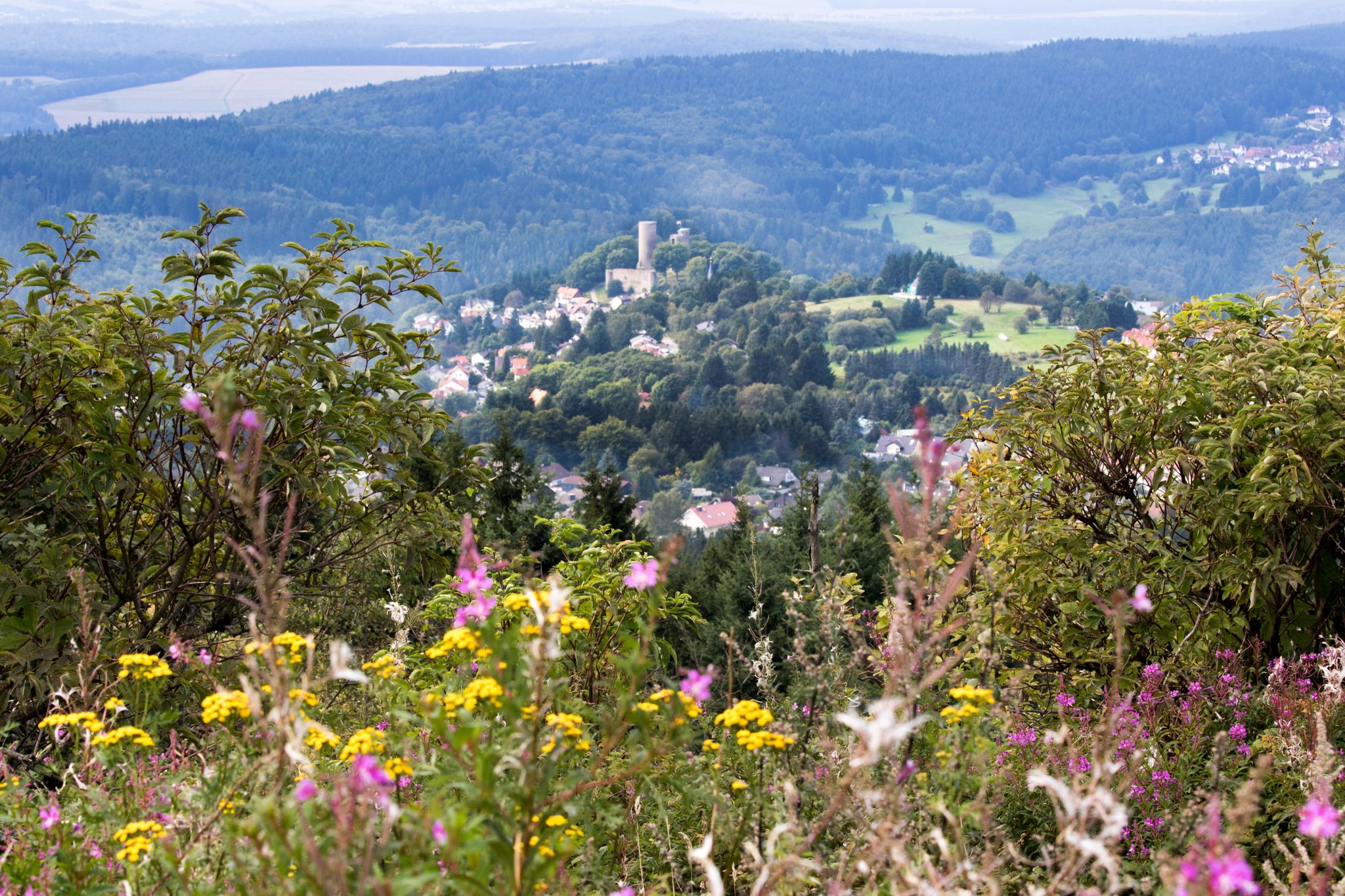
Zwischen Gipfeln und Geschichte – abwechslungsreiche Radtouren im Taunus
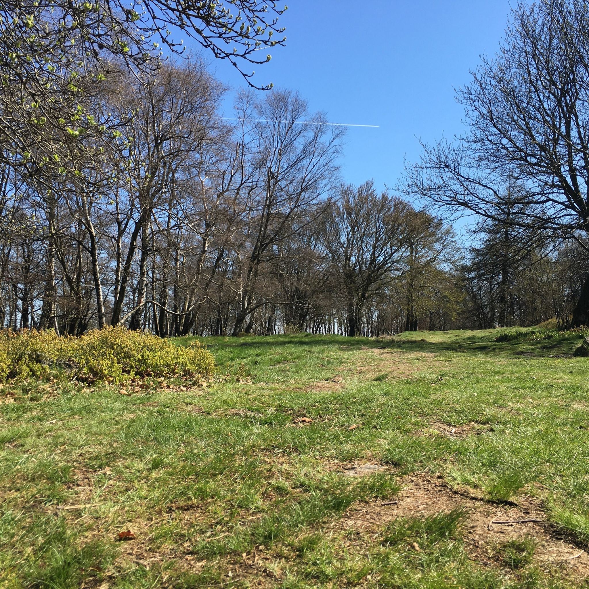
グラースヒュッテンのMTBトレイル
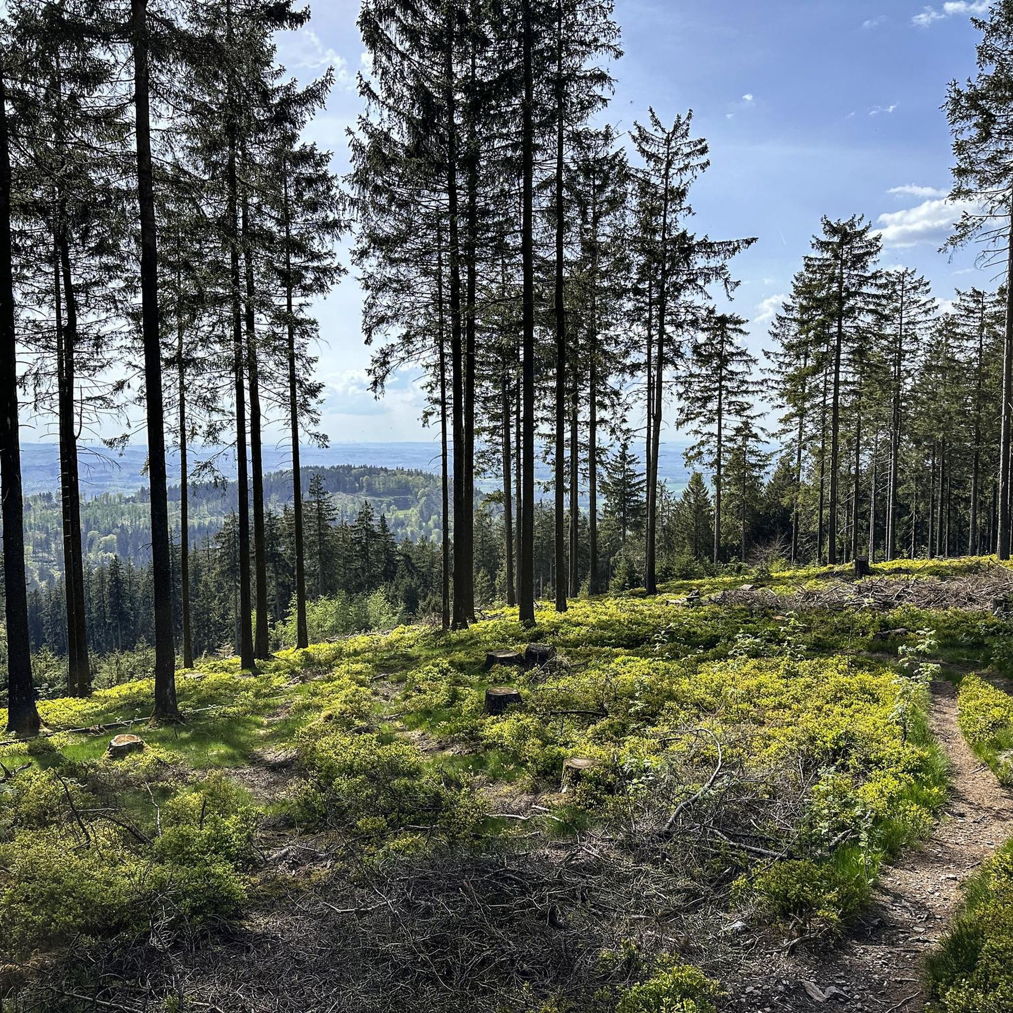
グラースヒュッテンのランニングコース
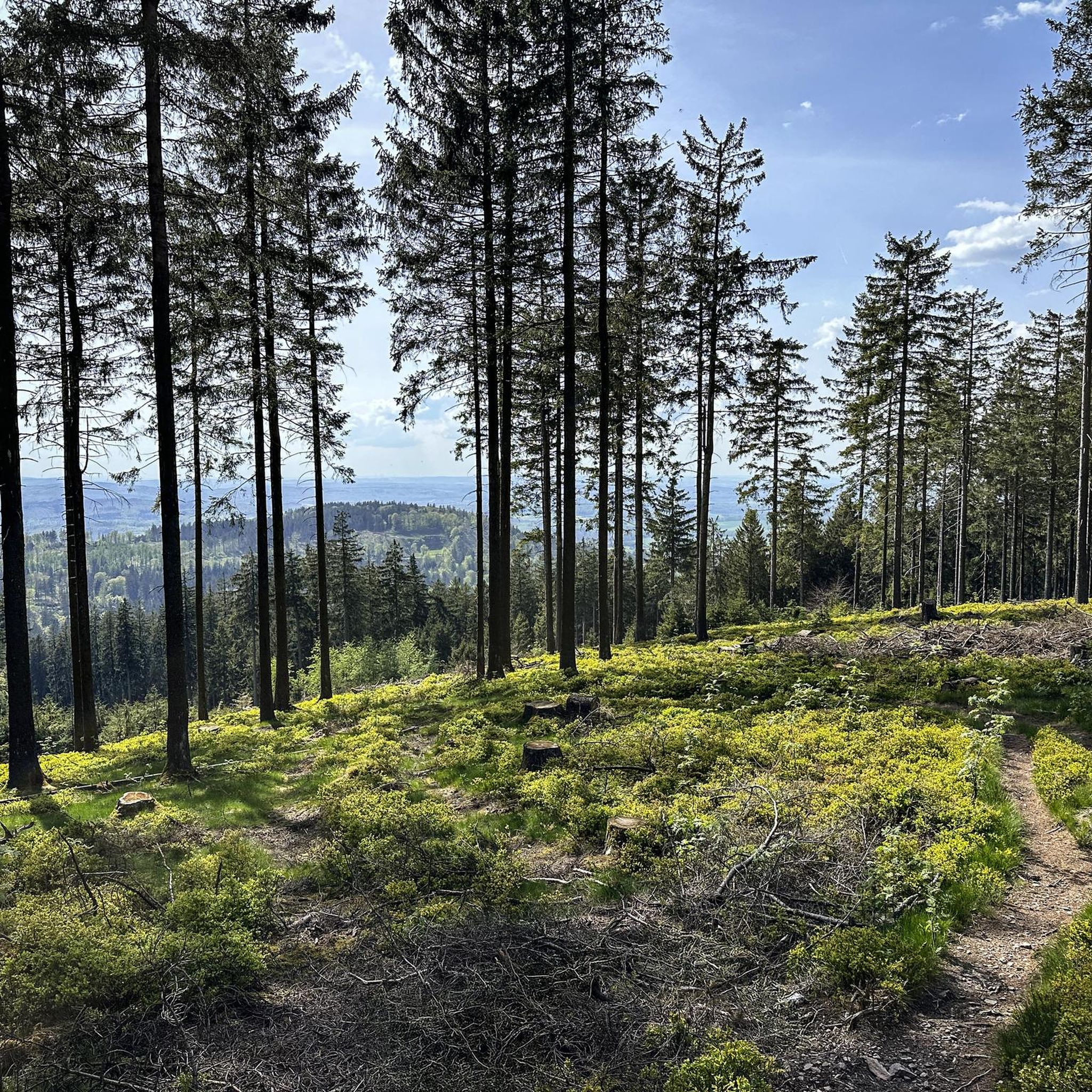
グラースヒュッテンでのサイクリング
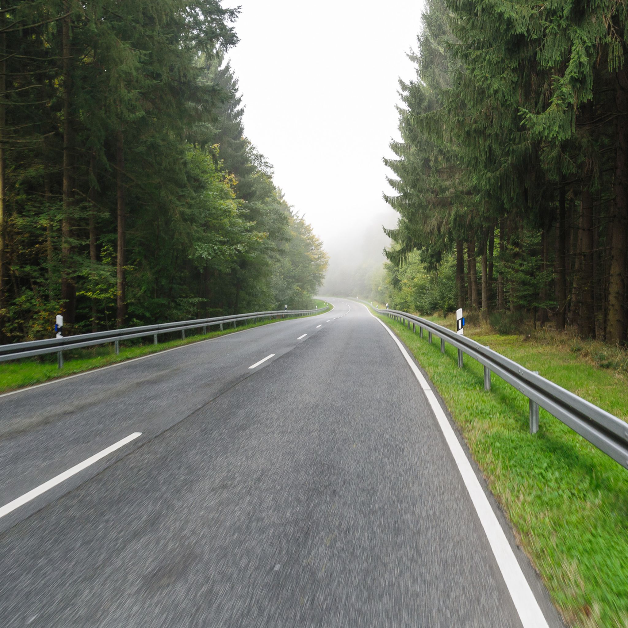
グラースヒュッテンのロードバイクルート
グラースヒュッテンでの登山&山歩き
グラースヒュッテンでののグラベルライド
グラースヒュッテンでのの他の冒険


コミュニティからのヒント

しばらくぶりに今日、再びWaldglaswegを歩き、多くの情報パネルやガラスの要素が欠けていることに気づきました。
1
0

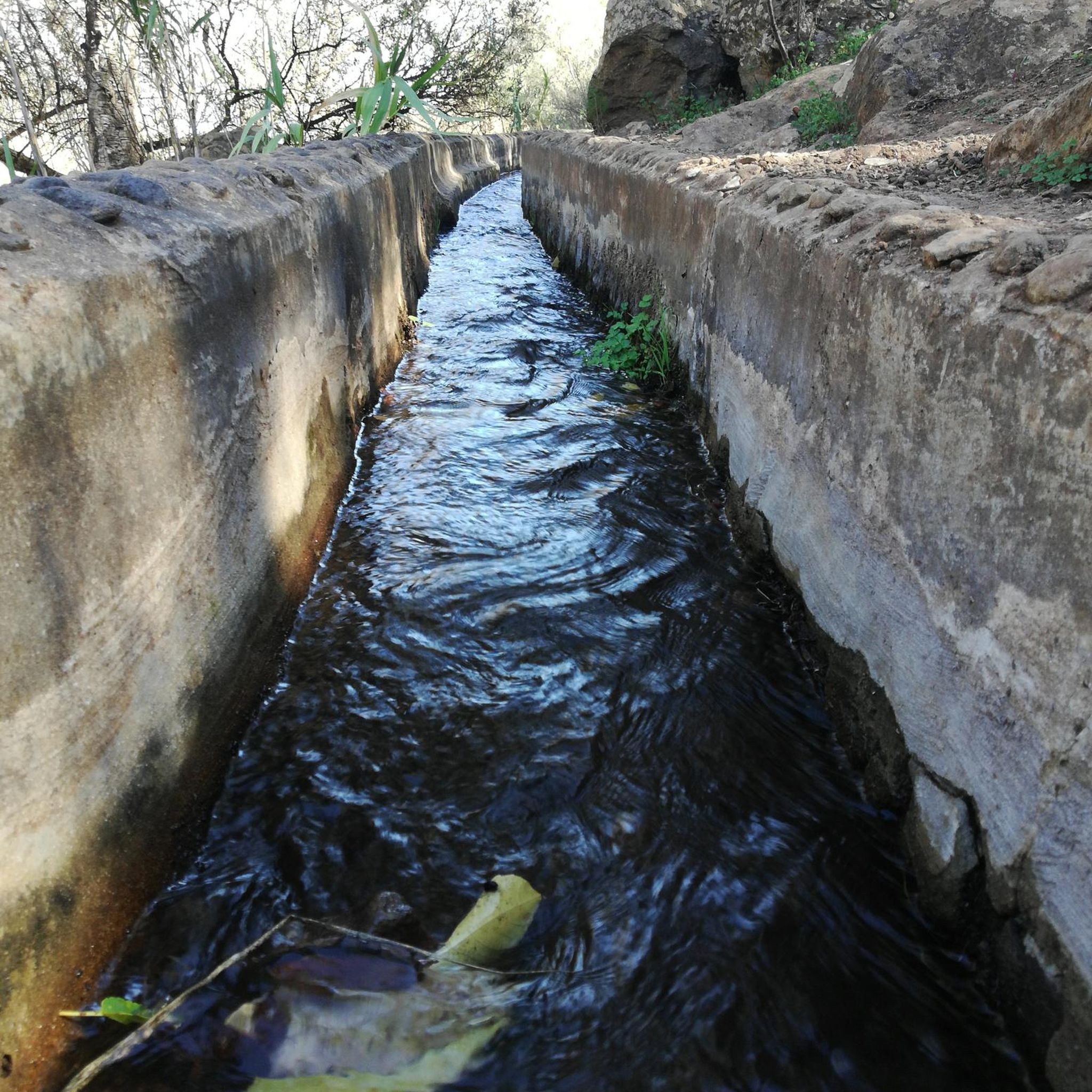
Source & Course: The Silberbach stream rises in the High Taunus mountains near Schloßborn (municipality of Glashütten). From there, it flows southeast through the wooded Silberbach Valley. Mouth: It flows into the Schwarzbach stream, which in its upper reaches, up to its confluence with the Daisbach stream in Eppstein, is often still referred to as the Dattenbach. The mouth of the Schwarzbach lies between Glashütten-Schloßborn and Eppstein-Vockenhausen. Special Features: The Silberbach Valley is considered ecologically valuable and is managed by the BUND (Friends of the Earth Germany) Königstein-Glashütten branch. The name may historically suggest a stony streambed or former mining attempts. Recreation: A popular hiking trail is the Silberbach Loop, which leads from Dattenbach Valley, passing, among other things, the Atzelberg Tower.
8
1
Here you will find a beautiful glass bench by Ines Nickchen, which is part of the Forest Glass Trail.
10
0
Historic boundary stones along the Limes in Nassau-Hesse, often part of the UNESCO World Heritage Site, mark not only the ancient Roman border, but also later historical border demarcations (e.g., between the County of Nassau and the Archbishopric of Mainz) that were based on the Limes; they are well preserved and visible along the way, such as the one in the Kröftel area, which shows the Mainz Wheel (Roman side) and the Nassau Lion (Germanic side), and offer impressive insights into the history of the Limes, often accessible via hiking trails such as the Limes Circular Trail.
11
0
Here is the Atzelberg Tower! It is now made of metal, after it burned down twice from wood.
7
2
The view from the tower is truly magnificent
11
3

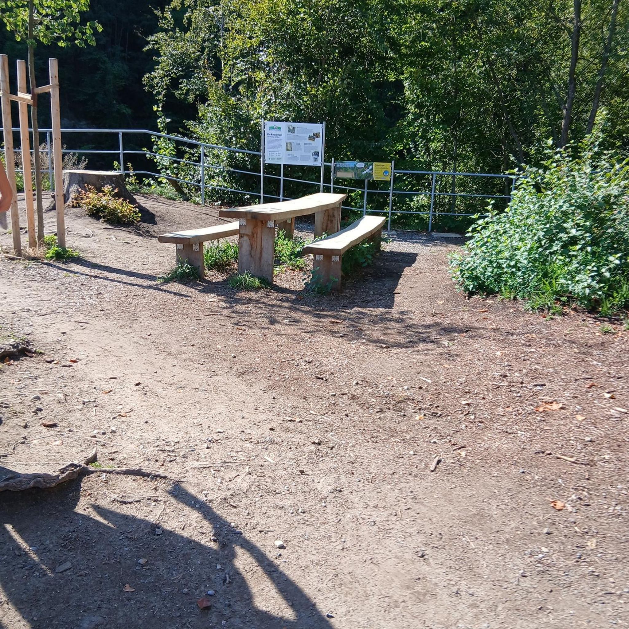
A small gravel parking lot is also used by those using the glass container. If there are no parking spaces available, you can park in the parking lots of the cemetery and the two supermarkets and discount stores. The information pavilion is located a few meters further along the gravel path.
0
2

komootモバイルアプリでインスピレーションを得よう


さらに探索
他の地域の最高のハイキングを見てみましょう。
