シュタイアーベルクでの周辺の簡単なハイキングとウォーキング
4.5
(869)
3,213
ハイカー
44
ハイキング
シュタイアーベルクをウォーキングで探索して、楽しく自然を満喫しましょう。komootでは、みなさんがアドベンチャーを最大限お楽しみいただけるよう、シュタイアーベルクでので人気の簡単なハイキングとウォーキングルートのリストを作成しました。これらのルートはショートハイキング、子供連れや家族みんなでのアクティビティにも最適で、誰もが楽しめるルートとなっています。
最終更新日: 10月 17, 2026
4.3
(3)
14
ハイカー
7.07km
01:48
20m
20m
初級者向けハイキング. あらゆるフィットネスレベルに適しています。 進みやすいルートです。あらゆるスキルレベルに適しています。
4.0
(1)
8
ハイカー
6.77km
01:43
20m
20m
初級者向けハイキング. あらゆるフィットネスレベルに適しています。 進みやすいルートです。あらゆるスキルレベルに適しています。

5.0
(2)
15
ハイカー
6.40km
01:39
30m
30m
初級者向けハイキング. あらゆるフィットネスレベルに適しています。 進みやすいルートです。あらゆるスキルレベルに適しています。
5.0
(3)
10
ハイカー
2.00km
00:30
0m
0m
初級者向けハイキング. あらゆるフィットネスレベルに適しています。 進みやすいルートです。あらゆるスキルレベルに適しています。
5.0
(1)
3
ハイカー
7.60km
01:58
50m
50m
初級者向けハイキング. あらゆるフィットネスレベルに適しています。 進みやすいルートです。あらゆるスキルレベルに適しています。
さらに多くのルートや他のユーザーのおすすめ情報を確認できます。
すでにアカウントをお持ちですか?
おすすめのツアーは他のkomootユーザーが実際に経験した何千ものアクティビティに基づいています。
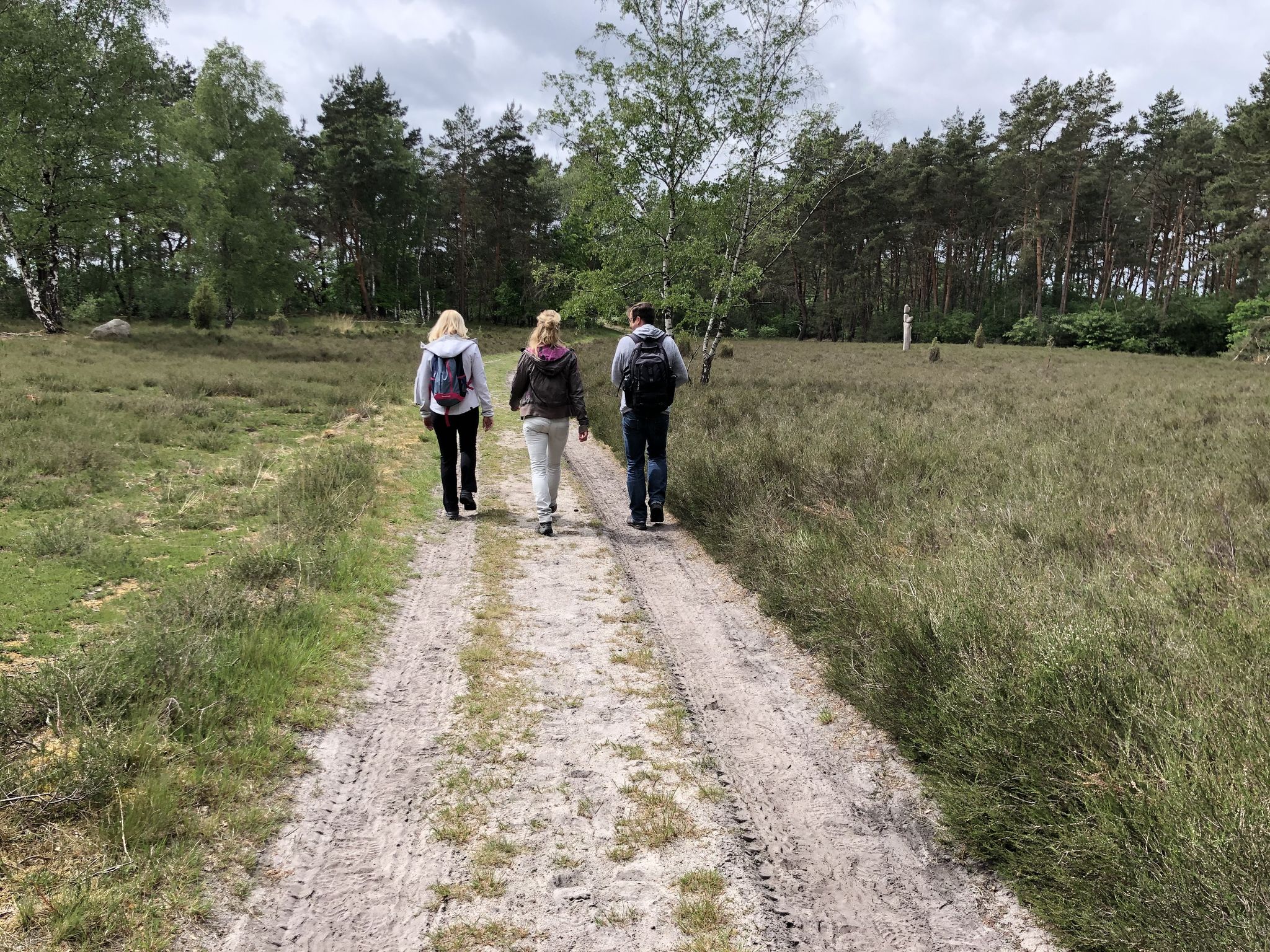
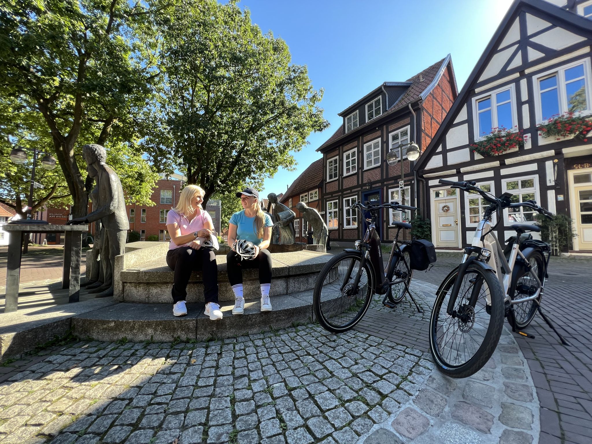
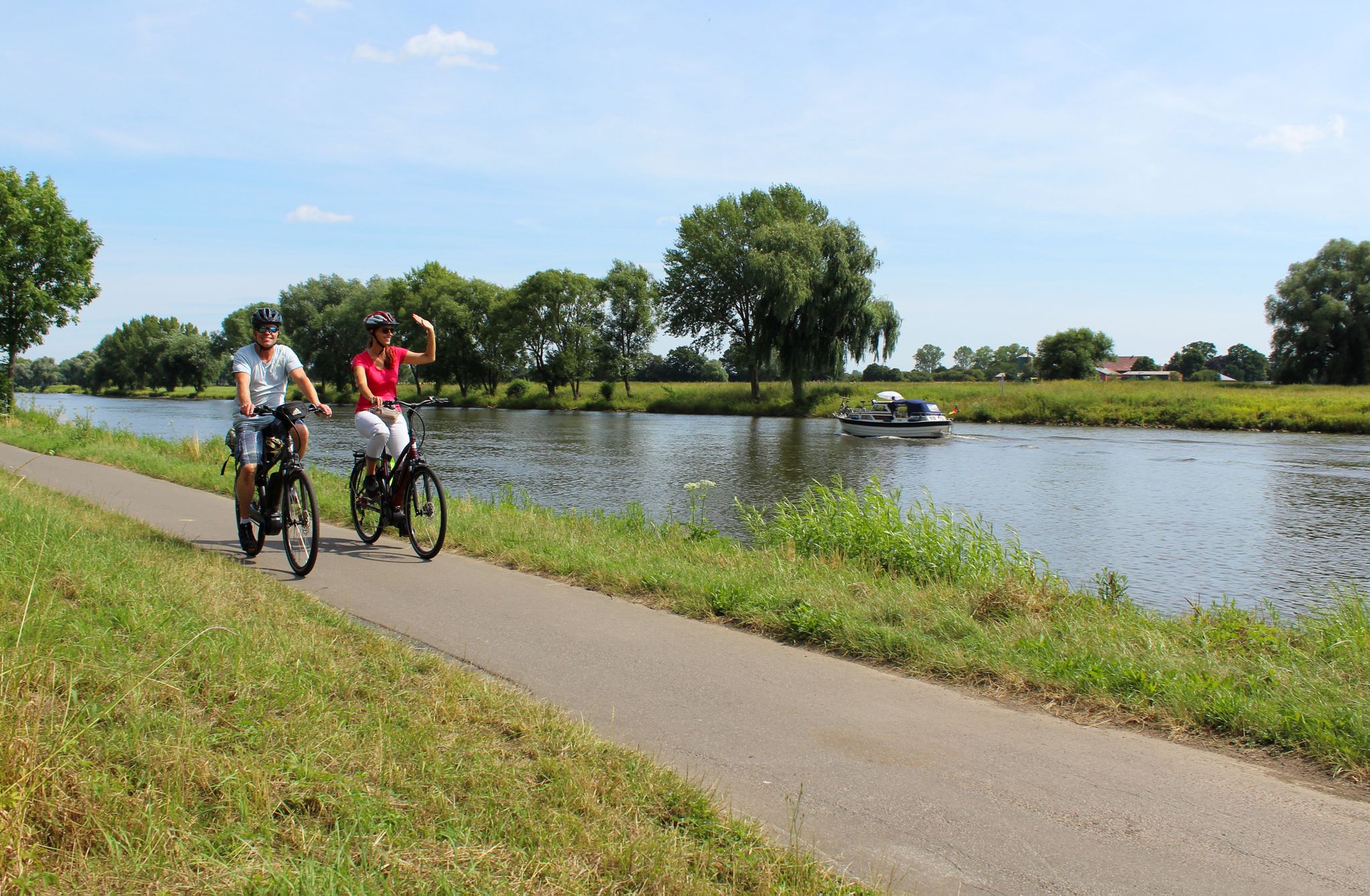
シュタイアーベルクでのの他の冒険

コミュニティからのヒント

Meyersiek’sche Mühleは、ニーダーザクセン州シュタイエルベルク(ニーンブルク/ヴェーザー郡)にある歴史的で文化財に登録されている水車です。ヤコビ島に絵のように美しい場所にあり、グローセ・アウエ川の支流に囲まれています。
2
0
公共のブックシェルフ、またはブックボックスまたはブックセルとしても知られる、本棚、元電話ボックス、または小さな小屋で、本が無料で、匿名で、形式なしで交換、貸し出し、または持ち帰りのために提供される場所です。ほとんどの場合、公共の場所にあります。
2
0

Observation platform
0
0

In the region around Steyerberg, particularly in the district of Deblinghausen, there is the “Eichenkratt” nature reserve. This seven-hectare area has been under nature protection since September 15, 1993 and is characterized by its high proportion of pedunculate oaks.
0
0
The Januarsberg rises like a small island in the middle of the heathland. After a short but steep climb, the view opens up to a wooden observation tower, which fits perfectly into the surroundings with its simple, rustic design.
0
0

The Klappermühle is located at the Langhorst Kuhlengraben or on the forest nature trail. Since 1958, the small mill has been set up every spring by the local history society and dismantled again in the autumn.
1
0

This bridge over the floodplain is one of the 125 oldest stone bridges of this type in Germany. It is a three-arched stone bridge that was built in 1726 on behalf of the then Elector of Hanover, George I. It spans one of the two arms of the “Aue” river that flows around Jacobi Island. Source and more: https://steyerberg.de/portal/seiten/aue-bruecke-12000053-21600.html
2
0
This bridge over the floodplain is one of the 125 oldest stone bridges of this type in Germany. It is a three-arched stone bridge that was built in 1726 on behalf of the then Elector of Hanover, George I. It spans one of the two arms of the “Aue” river that flows around Jacobi Island. Source and more: https://steyerberg.de/portal/seiten/aue-bruecke-12000053-21600.html
1
0
シュタイアーベルクでのの人気観光スポット

komootモバイルアプリでインスピレーションを得よう


さらに探索
他の地域の最高のハイキングを見てみましょう。
