トロイスドルフでの周辺の簡単なハイキングとウォーキング
4.4
(8346)
31,583
ハイカー
468
ハイキング
トロイスドルフをウォーキングで探索して、楽しく自然を満喫しましょう。komootでは、みなさんがアドベンチャーを最大限お楽しみいただけるよう、トロイスドルフでので人気の簡単なハイキングとウォーキングルートのリストを作成しました。これらのルートはショートハイキング、子供連れや家族みんなでのアクティビティにも最適で、誰もが楽しめるルートとなっています。
最終更新日: 9月 12, 2026
4.6
(688)
2,422
ハイカー
初級者向けハイキング. あらゆるフィットネスレベルに適しています。 進みやすいルートです。あらゆるスキルレベルに適しています。
4.7
(644)
1,904
ハイカー
6.00km
01:34
40m
40m
初級者向けハイキング. あらゆるフィットネスレベルに適しています。 進みやすいルートです。あらゆるスキルレベルに適しています。

4.6
(583)
2,078
ハイカー
5.88km
01:33
50m
50m
初級者向けハイキング. あらゆるフィットネスレベルに適しています。 進みやすいルートです。あらゆるスキルレベルに適しています。
4.7
(697)
2,050
ハイカー
6.62km
01:44
50m
50m
初級者向けハイキング. あらゆるフィットネスレベルに適しています。 進みやすいルートです。あらゆるスキルレベルに適しています。
4.8
(180)
573
ハイカー
4.39km
01:11
50m
50m
初級者向けハイキング. あらゆるフィットネスレベルに適しています。 進みやすいルートです。あらゆるスキルレベルに適しています。
さらに多くのルートや他のユーザーのおすすめ情報を確認できます。
すでにアカウントをお持ちですか?
おすすめのツアーは他のkomootユーザーが実際に経験した何千ものアクティビティに基づいています。
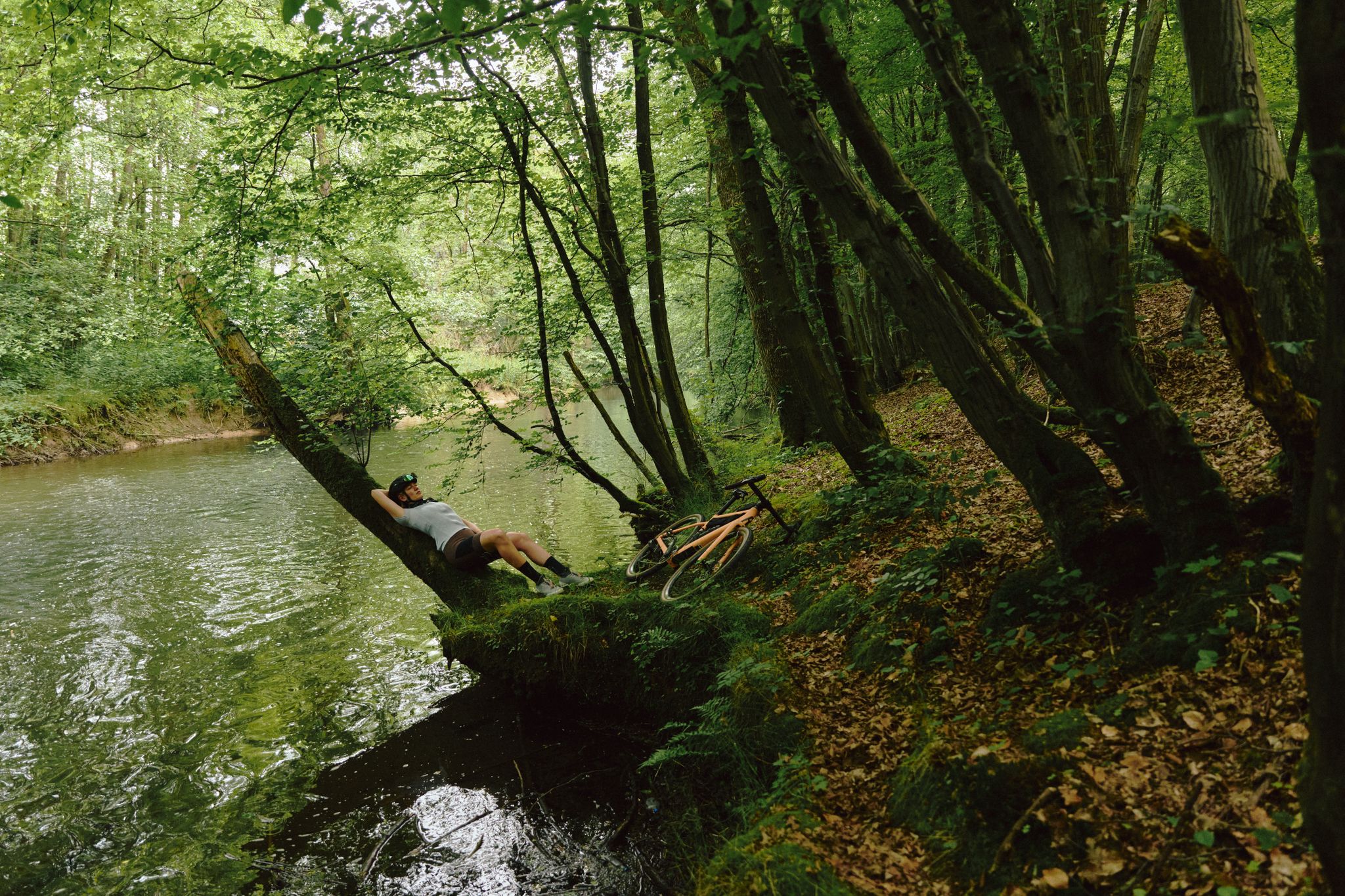
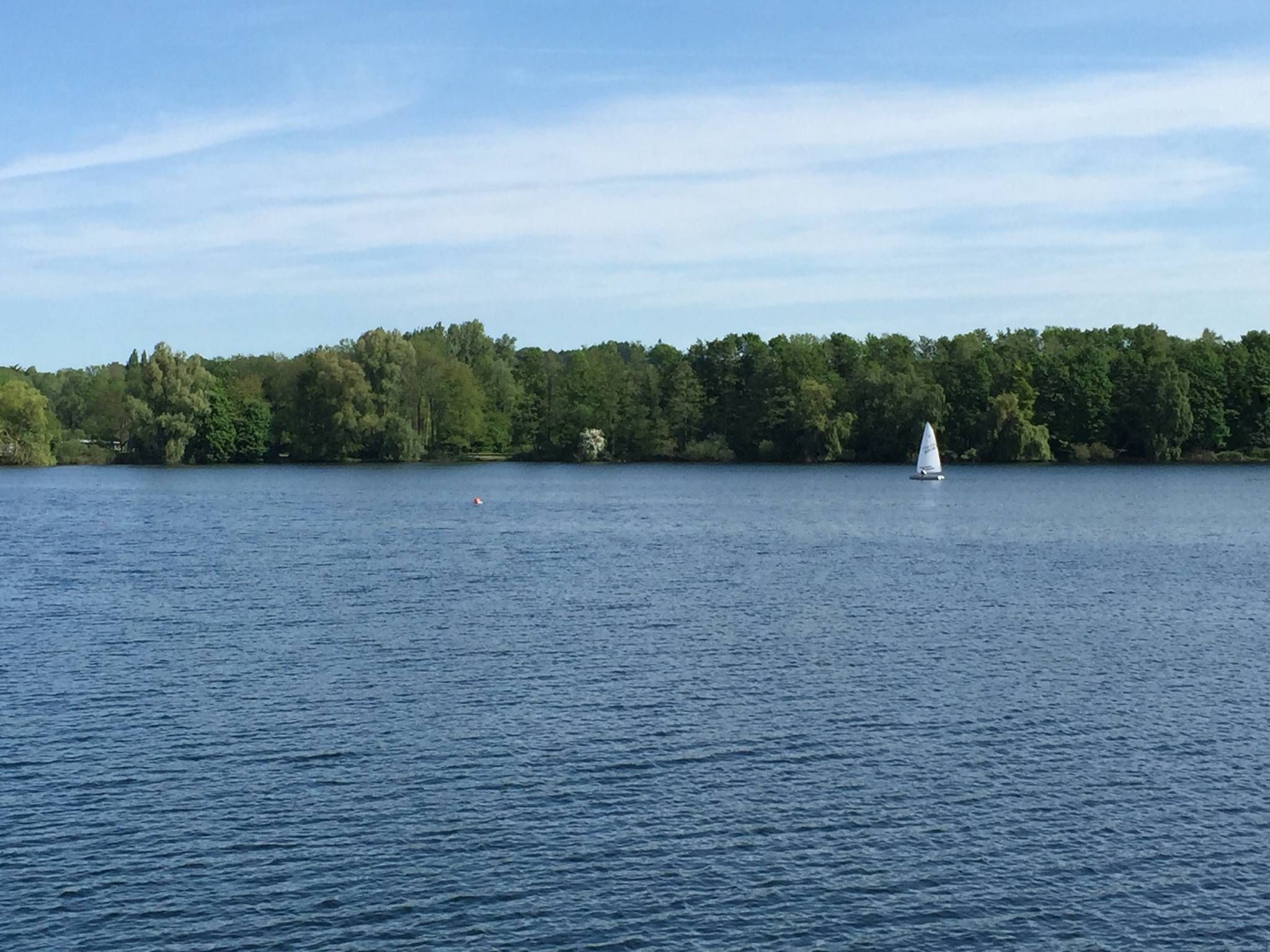
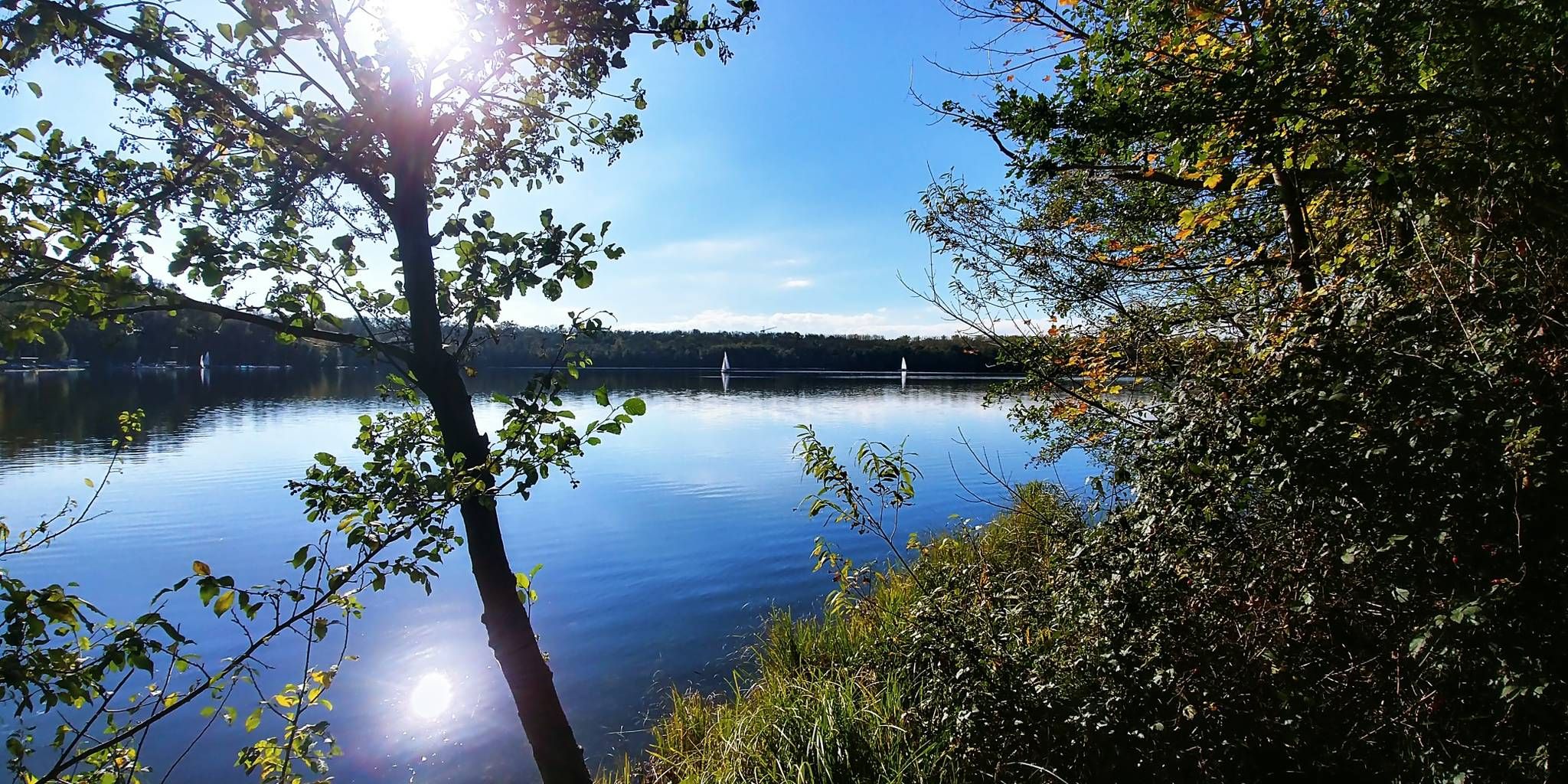
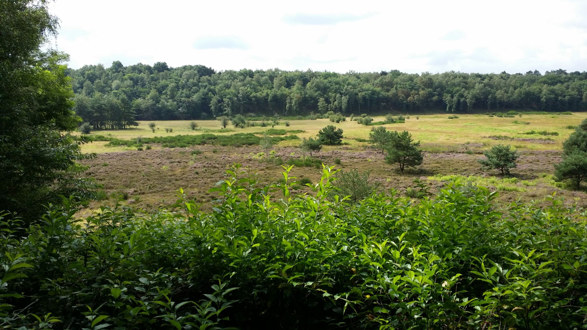
トロイスドルフでのの他の冒険


コミュニティからのヒント


かつてベルギー軍が訓練場として使用していた場所で、現在はドイツ連邦軍が使用している。
0
0

Fliegenberg is a prominent hill in the Wahner Heide nature reserve, offering a beautiful vantage point. From here, you can see large parts of the Wahner Heide – with its open heathland, pine forests, and rolling hills. The view is particularly impressive in late summer when the heather is in bloom, showcasing the colorful diversity of the landscape.
0
0

Wiemers Loch is located in the Fliegenberg area. It is a deep, ravine-like erosion gully in the quartz sandstone, formed by surface runoff. The name originates from a local legend. According to this legend, a notorious robber named Wiemer used the ravine as a hideout. The story goes that Wiemer supposedly ambushed travelers on the old Aggerstraße road from here. The area is part of a marked circular hiking trail, the Fliegenberg Tour.
1
0
A sunken lane is a path that, through centuries of use by carts and livestock, as well as runoff from rainwater, has cut itself up to 10 meters deep into the surrounding terrain. Here you can clearly see the resulting embankment to the right and left of the path.
0
0
Wiemers Loch refers to a special area or small depression in the heath, often visited by hikers and nature lovers. The heath trail leads through typical heath and woodland landscapes and offers beautiful views, especially when the heather is in bloom (usually in late summer).
1
0

The Hühnerbruch is named after the black grouse, whose population was wiped out in the 1950s/60s by the construction of the airport in the middle of the nature reserve.
0
0
What will happen to the Kirchsiefen ponds near Altenrath? https://www.heideterrasse.net/was-passiert-mit-den-kirchsiefen-teichen-bei-altenrath,829,10.html
0
0

komootモバイルアプリでインスピレーションを得よう


さらに探索
他の地域の最高のハイキングを見てみましょう。
