ラウジッツ北部での周辺の簡単なハイキングとウォーキング
4.6
(42845)
159,490
ハイカー
9,817
ハイキング
ラウジッツ北部をウォーキングで探索して、楽しく自然を満喫しましょう。komootでは、みなさんがアドベンチャーを最大限お楽しみいただけるよう、ラウジッツ北部でので人気の簡単なハイキングとウォーキングルートのリストを作成しました。これらのルートはショートハイキング、子供連れや家族みんなでのアクティビティにも最適で、誰もが楽しめるルートとなっています。
最終更新日: 10月 29, 2026
4.7
(300)
1,203
ハイカー
6.78km
01:45
40m
40m
初級者向けハイキング. 歩きやすい道です。
4.7
(153)
686
ハイカー
5.80km
01:33
60m
60m
初級者向けハイキング. 歩きやすい道です。

4.9
(190)
752
ハイカー
2.51km
00:45
70m
70m
初級者向けハイキング. 歩きやすい道です。
4.6
(176)
529
ハイカー
初級者向けハイキング. 歩きやすい道です。
4.8
(116)
303
ハイカー
6.33km
01:50
160m
170m
初級者向けハイキング. 歩きやすい道です。
4.8
(129)
434
ハイカー
4.11km
01:03
10m
10m
初級者向けハイキング. 歩きやすい道です。
4.8
(99)
287
ハイカー
6.77km
01:55
140m
140m
初級者向けハイキング. 歩きやすい道です。
4.8
(301)
798
ハイカー
6.68km
01:48
80m
80m
初級者向けハイキング. 歩きやすい道です。
4.5
(119)
743
ハイカー
6.63km
01:46
70m
70m
初級者向けハイキング. 歩きやすい道です。
4.8
(112)
261
ハイカー
7.74km
01:58
10m
10m
初級者向けハイキング. 歩きやすい道です。
さらに多くのルートや他のユーザーのおすすめ情報を確認できます。
すでにアカウントをお持ちですか?
おすすめのツアーは他のkomootユーザーが実際に経験した何千ものアクティビティに基づいています。
無料アカウントで今日から始めよう
次の冒険が待っています。

ラウジッツ北部でのの他の冒険


コミュニティからのヒント

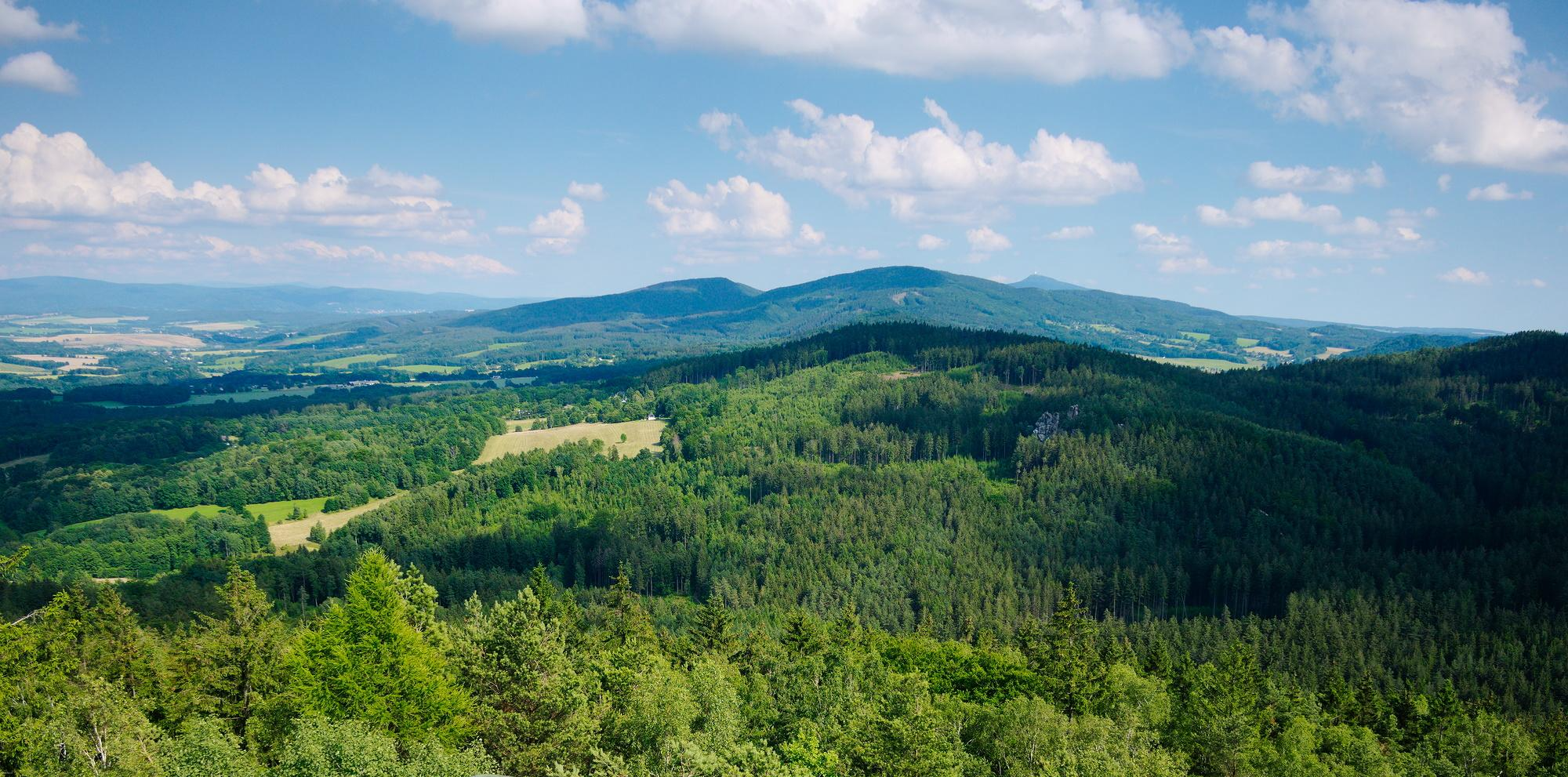
The Königshain Hills (Upper Sorbian: Limas) are located in the eastern part of Upper Lusatia, west of the city of Görlitz in the Görlitz district. They lie north and south of the municipality of Königshain, from which they take their name, and comprise an extensive, approximately 50 km² area of mostly forested granite. The main elevations are the Kämpferberge (415 m above sea level) in the south, culminating at the Ahlberg, the well-known Hochstein (397.2 m above sea level) in the north, and the Hutberg in the (south)west. ``` View of the Königshain Hills Quarry lake in the Königshain Hills In the natural regional classification of Saxony, they are assigned to the macrogeochore Eastern Upper Lusatia (11), the mesogeochore Königshain Hills and Mountains (11013), and the two microgeochore Kämpferberg Ridge (including Hochstein) and Eichberg-Hutberg Ridge.[1] The entire Königshain Hills have been a protected landscape area since 1974. A bird sanctuary is located in part (Elysium) of the former Firsten quarry. https://de.wikipedia.org
0
0

Two paths lead up to the Oybin castle and monastery ruins; we take the one through the Knights' Gorge. The path is narrow between the high cliffs, surrounded by the vibrant colors of autumn foliage. After a short distance, we see the ruins before us. They sit majestically atop the rock. We take in the view one last time, breathe deeply, and are eager to see what awaits us. Now we pass through the gate, enter the grounds, pay our entrance fee at the servants' quarters, and begin our exploration. https://youtu.be/qvBJv_Fnfis
0
0
We return to the cemetery and take the circular hiking trail, which leads us further across the plateau. We walk along the high cliffs, the slope steep beside us, past the inn, sometimes very narrow between the rocks. Some people even get stuck here. The landscape is fascinating and exciting; we walk right along the edge of the slope and enjoy this autumn day. https://youtu.be/qvBJv_Fnfis
0
0

Flooded open-cast lignite mine. Today a recreational area at the foot of the Zittau Mountains.
0
0

View across Lake Olba. Beautiful view across the Olba River to the island of Radisch.
0
0


The Mandau is a 40.9 km long river in the Czech Republic and Saxony.
11
0

komootモバイルアプリでインスピレーションを得よう


