ルート

プランナー

機能

アップデート

App

ログインまたはサインアップ

アプリを入手

ログインまたはサインアップ

ルート
Places to see
ルーマニア

ヴルチャ

ヴルチャ周辺のアトラクション&必見スポット - トップ20


ヴルチャには必見のスポットがたくさんあります。ハイキング愛好家やサイクリング愛好家の方は、ぜひヴルチャを探索してこのエリアにある20
の隠れたスポットを訪れてみてください。このエリアの必見スポットを確認し、次の冒険に出かける計画を立てましょう。

最終更新日: 8月 30, 2026

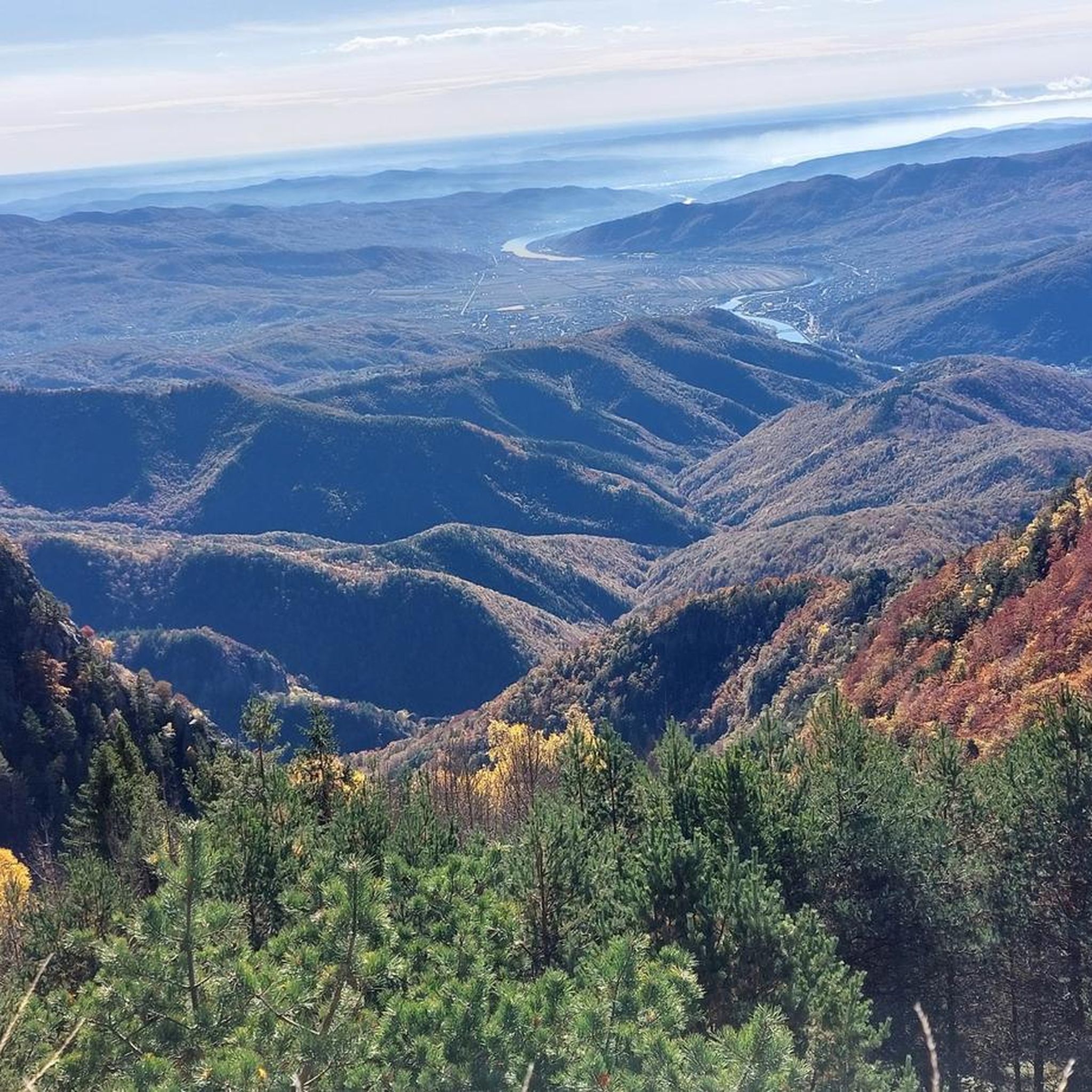
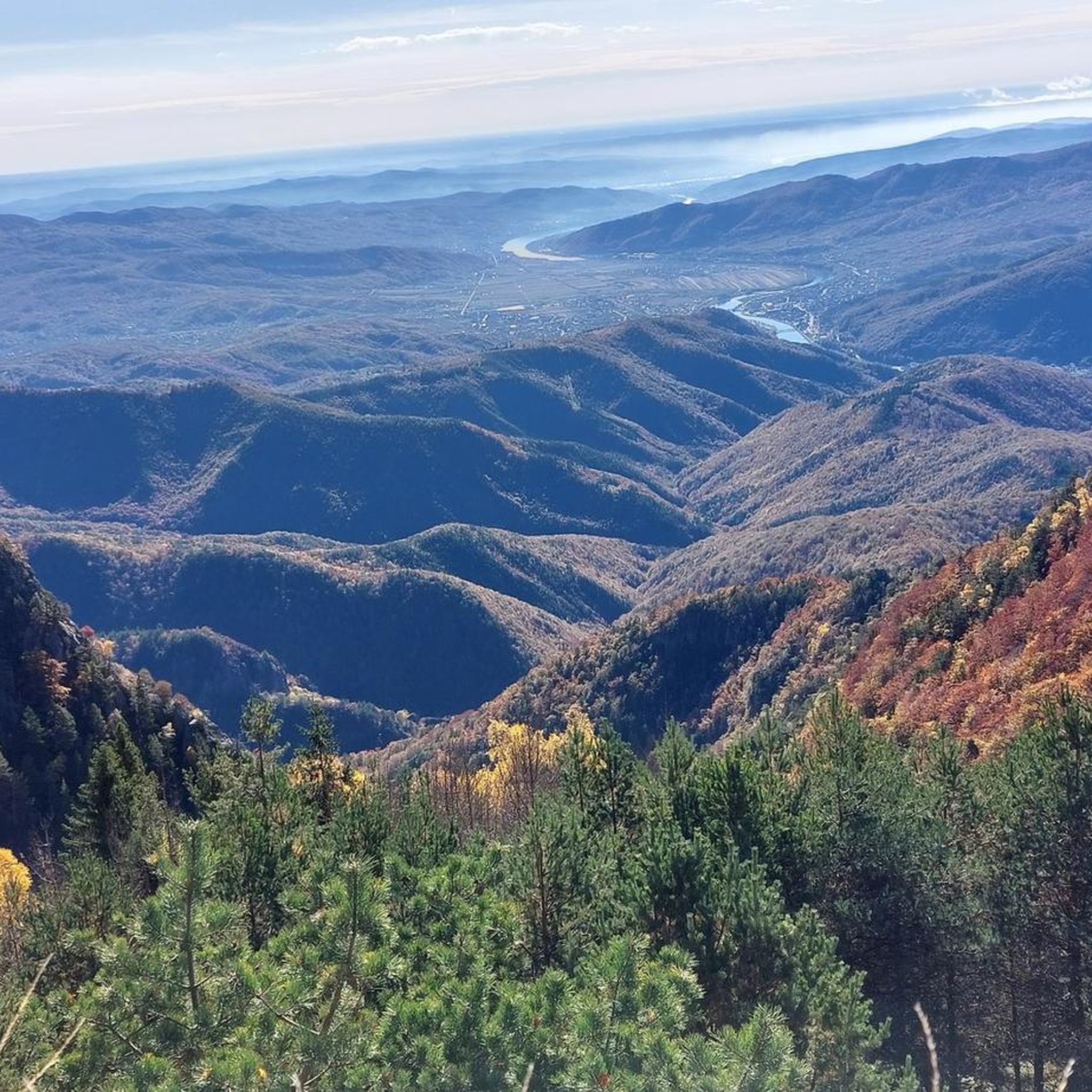
ガルチェスク湖への美しい眺め

ハイライト • 展望台

The trail up until this viewing point is very nice. The landscape is really beautiful. If you want to go down to Lake Galcescu, the path is very steep and …

役立つ情報

によるものです

ここでのハイキングを見る

スマートフォンに送信

保存

トゥルヌ修道院

ハイライト • 宗教的な場所

Beautiful monastery. The courtyard flowers very beautiful with all sorts of flowers.

翻訳者 Google •

役立つ情報

によるものです

保存

今すぐサインアップして、こんな場所を発見しよう

最高のシングルトラック、ピーク、その他のエキサイティングなアウトドアスポットのおすすめを受け取ろう。

無料新規登録

スタニショアラ修道院

ハイライト • 宗教的な場所

You can drive up here by car and then start hiking here.

翻訳者 Google •

役立つ情報

によるものです

保存

カバナ・コジア

ハイライト • 山小屋

Located below the highest point mountain hut. I do not really know if I would like to sleep there; it was good to rest.

翻訳者 Google •

役立つ情報

によるものです

保存

スタナ・シュテファヌ

ハイライト • 山小屋

Very good traditional Romanian food, especially the lamb!!!

役立つ情報

によるものです

保存

ガルチェスク湖

ハイライト • 湖

A place to rest and recharge your batteries.
You can even find cows there.
Some people even pitched their tents there.

翻訳者 Google •

役立つ情報

によるものです

保存

ヴァルフル・カールブネレ

ハイライト • 山頂

View from the parking lot to the summit of Varful Carbunele in the southern Carpathian arch. The 1st summit on this tour. The car park is located on the Transalpina …

翻訳者 Google •

役立つ情報

によるものです

保存

Control Point (CP)4: Drumul Strategic, Transalpina, Romania
Parcours length: 44 km
Highest point: 1990 m
Distance from CP3: 700 km

The final Control will coax riders into the mysterious romance …

役立つ情報

によるものです

保存

ヴィドラ湖

ハイライト • 湖

Vidra Lake is a reservoir in the Parâng mountain range on the Lotru River in Vâlcea County, southern Romania.

The lake has an area of 12.40 km2 (4.79 sq mi) …

翻訳者 Google •

役立つ情報

によるものです

保存

トランサルピナ道路

ハイライト • 山道

The Transalpina, also known as Drum național 67C (Romanian for "National Road 67C", DN67C for short), is a touristically important road in Romania. It crosses the Transylvanian Alps, connects the …

翻訳者 Google •

役立つ情報

によるものです

保存

無料でサインアップして、さらに多くの観光スポットを発見しましょう ヴルチャでの。

無料新規登録

すでにアカウントをお持ちですか?

無料アカウントで今日から始めよう

次の冒険が待っています。

ログインまたは登録

ヴルチャ周辺で人気

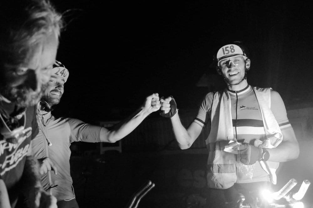
TCR No. 8 — ヨーロッパを走り交えて

ヴルチャでのハイキング

ヴルチャでのサイクリング

ヴルチャのランニングコース

ヴルチャのMTBトレイル

ヴルチャのロードバイクルート

ヴルチャでの登山&山歩き

ヴルチャでのの他の冒険

TCR No. 8 — ヨーロッパを走り交えて

ロードバイクのコレクション によって

Max Riese

コミュニティからのヒント

Tina Gravelina
8月 25, 2026, Stâna Ștefanu

トップのハイロードで、特に週末は比較的混雑しますが、トランスファガラシャンと比較するとそれでもはるかに交通量が少ないです!! また、トランスアルピナはルーマニアで最も高い峠道です! ❤️🇷🇴

Google翻訳による翻訳

0

0

トップの高さの道で、週末は比較的混雑しますが、トランスファガラシャンと比較すると、それでもはるかに交通量が少ないです!!さらに、ルーマニアで最も高い峠道です! ❤️🇷🇴

Google翻訳による翻訳

0

0

here is a quiet hidden monastery and you will find a toilet

Google翻訳による翻訳

0

0

Sleepy little monastery where tourists rarely find their way

Google翻訳による翻訳

0

0

Viola
7月 11, 2024, Transalpina Road

The Transalpina, also known as Drum național 67C (Romanian for "National Road 67C", DN67C for short), is a touristically important road in Romania. It crosses the Transylvanian Alps, connects the Gorj County in Little Wallachia (Oltenia) with the Alba County in Transylvania and reaches a height of 2132 m,[2] according to other information 2145 m.[3] Its summit height thus exceeds that of the Transfagarasan High Road (Drum național; DN 7C). The modern road, also known as Drumul Regal ("King's Road"), was opened in 1939 and expanded for strategic reasons during the Second World War. During the revolutionary period around 1989, the road was neglected. From 2009, it was partially asphalted and in 2010, a section was put back into operation. The asphalting was completed in 2012.[3] Currently (2016) the road is fully accessible with restrictions.

Google翻訳による翻訳

0

0

Viola
7月 10, 2024, Vidra Lake

Vidra Lake is a reservoir in the Parâng mountain range on the Lotru River in Vâlcea County, southern Romania. The lake has an area of 12.40 km2 (4.79 sq mi) and a volume of 340×106 m3 (1.2×10¹⁰ cubic feet). The associated Lotru-Ciunget hydroelectric power station has a maximum output of 510 MW and uses a height difference of about 800 m (2,600 feet). The dam and hydroelectric power station were built between 1965 and 1972. It is the second largest hydroelectric power station in Romania after the Iron Gate I and II power stations.

Google翻訳による翻訳

0

0

andy
10月 23, 2023, Stâna Ștefanu

It's definitely worth taking a break here. In addition to good food and souvenirs, you also have a beautiful view here. However, there is often a lot going on here, especially on weekends when the weather is nice.

Google翻訳による翻訳

0

0

Nice people here, but bring your own wine.

1

0

ヴルチャでのの人気ルート

ヴルチャでのハイキング

ヴルチャでのの人気観光スポット

Natural Monuments

Store rating

komootモバイルアプリでインスピレーションを得よう

無料のkomootアカウントがあれば、無限のアウトドアコースを簡単に見つけてカスタマイズし、ナビで案内できます。

または

今すぐkomootに参加しよう

Store rating

探していたものは見つかりませんでしたか?

近くの素晴らしい場所をもっと探索したいですか?ガイドを見てみましょう:

コジア国立公園

近くのアドベンチャーガイド

Plaiul Dobraでやるべきこと

background

新しいピークを征服する準備をしよう

無料でサインアップ

探検する
ルートルートプランナー機能バウチャーを利用ハイキングMTBトレイルロードバイクルートバイクパッキングサイトマップ
アプリをダウンロード
SNSでフォローする

© komoot GmbH

プライバシーポリシー