サンタクルス郡周辺の簡単なハイキングとウォーキング
4.7
(345)
5,482
ハイカー
337
ハイキング
サンタクルス郡をウォーキングで探索して、楽しく自然を満喫しましょう。komootでは、みなさんがアドベンチャーを最大限お楽しみいただけるよう、サンタクルス郡で人気の簡単なハイキングとウォーキングルートのリストを作成しました。これらのルートはショートハイキング、子供連れや家族みんなでのアクティビティにも最適で、誰もが楽しめるルートとなっています。
最終更新日: 8月 31, 2026
5.0
(3)
102
ハイカー
2.26km
00:35
10m
20m
初級者向けハイキング. あらゆるフィットネスレベルに適しています。 進みやすいルートです。あらゆるスキルレベルに適しています。
22
ハイカー
1.91km
00:30
10m
0m
初級者向けハイキング. あらゆるフィットネスレベルに適しています。 進みやすいルートです。あらゆるスキルレベルに適しています。

無料新規登録
5.0
(2)
19
ハイカー
6.06km
01:44
170m
100m
初級者向けハイキング. あらゆるフィットネスレベルに適しています。 進みやすいルートです。あらゆるスキルレベルに適しています。
5.0
(1)
13
ハイカー
6.06km
01:44
140m
140m
初級者向けハイキング. あらゆるフィットネスレベルに適しています。 進みやすいルートです。あらゆるスキルレベルに適しています。
8
ハイカー
5.55km
01:47
270m
150m
初級者向けハイキング. あらゆるフィットネスレベルに適しています。 進みやすいルートです。あらゆるスキルレベルに適しています。
8
ハイカー
2.30km
00:36
20m
20m
初級者向けハイキング. あらゆるフィットネスレベルに適しています。 進みやすいルートです。あらゆるスキルレベルに適しています。
3
ハイカー
6.51km
01:48
100m
130m
初級者向けハイキング. あらゆるフィットネスレベルに適しています。 進みやすいルートです。あらゆるスキルレベルに適しています。
1
ハイカー
1.43km
00:25
50m
20m
初級者向けハイキング. あらゆるフィットネスレベルに適しています。 進みやすいルートです。あらゆるスキルレベルに適しています。
3
ハイカー
6.32km
01:47
80m
240m
初級者向けハイキング. あらゆるフィットネスレベルに適しています。 進みやすいルートです。あらゆるスキルレベルに適しています。
5.0
(1)
3
ハイカー
4.89km
01:25
140m
110m
初級者向けハイキング. あらゆるフィットネスレベルに適しています。 進みやすいルートです。あらゆるスキルレベルに適しています。
さらに多くのルートや他のユーザーのおすすめ情報を確認できます。
無料新規登録
すでにアカウントをお持ちですか?
おすすめのツアーは他のkomootユーザーが実際に経験した何千ものアクティビティに基づいています。
無料アカウントで今日から始めよう
次の冒険が待っています。
ログインまたは登録
サンタクルス郡周辺で人気

around Corralitos周辺の簡単なハイキング

around Santa Cruz周辺の簡単なハイキング
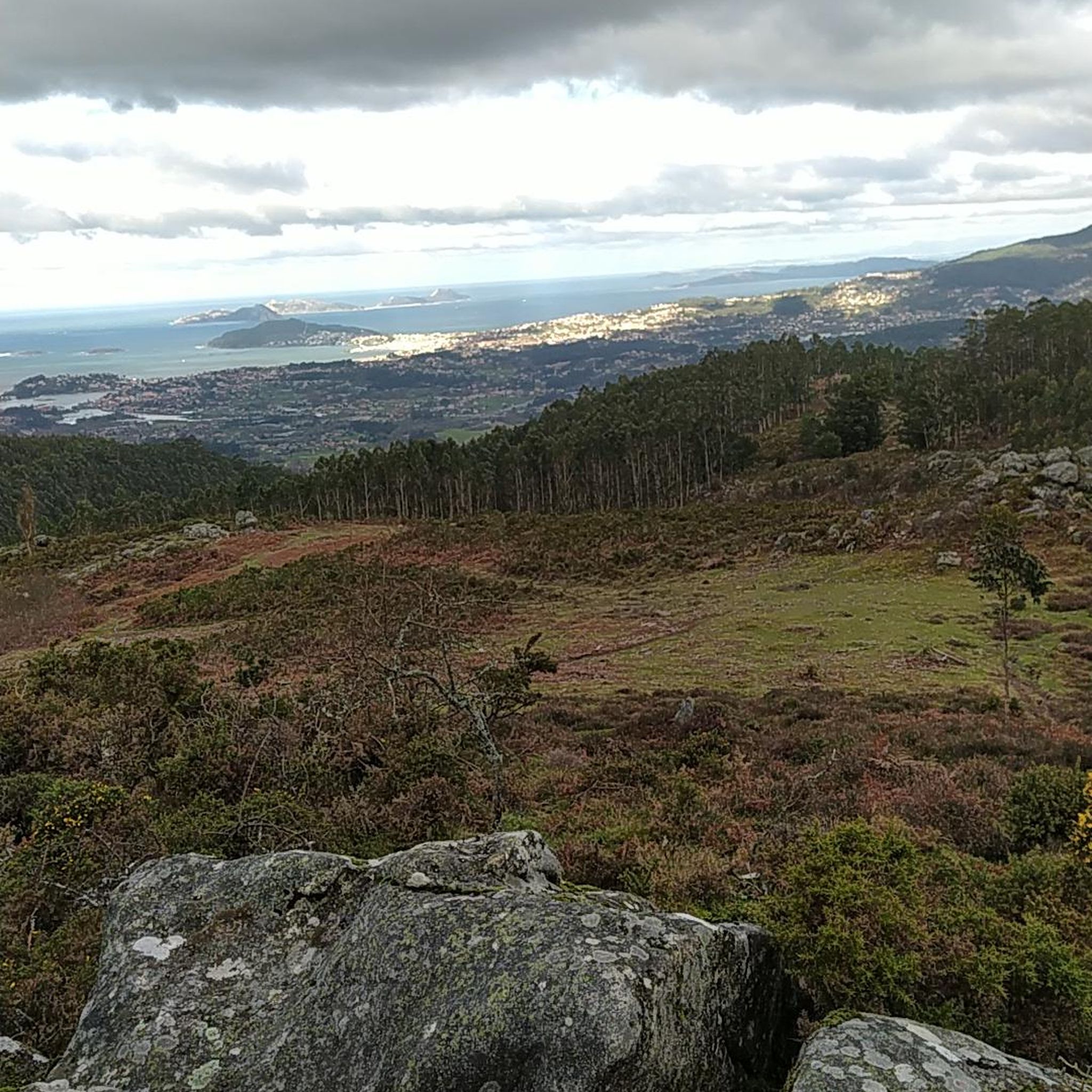
Wilder Ranch State Park周辺の簡単なハイキング
Long Ridge Open Space Preserve周辺の簡単なハイキング
Castle Rock State Park周辺の簡単なハイキング

around Day Valley周辺の簡単なハイキング

around Davenport周辺の簡単なハイキング

California Coastal National Monument周辺の簡単なハイキング
around Soquel周辺の簡単なハイキング

Loch Lomond Recreation Area周辺の簡単なハイキング
サンタクルス郡の他の冒険


コミュニティからのヒント

This is a coastal redwood, not a Sequoia redwood which is a different species found inland.
0
0

The Eagle shortcut connects the lower part of Baldwin loop trail, which is a double-track farm road, to the upper section, where the views stretch all the way down to the ocean.
1
0

Heading out to the end of the pier around sunset is always a good choice. Bring your camera, have a quick stretch, then continue on your run.
0
0

Turtle Rock is the highest and most prominent mountain in the area. From this viewpoint, you can enjoy a panoramic view of the surrounding mountains, especially stunning at sunset. Be cautious, as the trail is popular and often busy with hikers.
1
0

Sitting here in the evening and watching the sunset is magnificent. The view stretches across the entire Monterey Bay.
0
0

Great for family outings and entertainment. Amusement park, beach and shopping possible. Ideal with children and teens👍
0
0

Long Ridge Open Space Preserve is a 2,035-acre preserve that follows Long Ridge in the Santa Cruz Mountains. There are a variety of trails that can be used for hiking, biking, or horse riding. This is a dirt trail area, so it is more suited for gravel bikes or a stout touring bike; a hardtail would be ideal. In addition, this is a preserve and not a park, so there are no facilities that you would normally expect in a park, such as bathrooms, drinking water fountains, picnic tables, snack bars, or stores.
1
0

Turtle Rock gets its name because it looks like a little turtle with its head sticking up. This is a stunning spot to take a break and enjoy the overlook of the rolling hills and clouds roaming through the valleys.
0
0
サンタクルス郡の人気観光スポット

komootモバイルアプリでインスピレーションを得よう


探していたものは見つかりませんでしたか?
サンタクルス郡の下にある他のハイキングをチェックして、目的地で完璧なルートを見つけましょう。
さらに探索
他の地域の最高のハイキングを見てみましょう。
