サンフアン郡周辺の簡単なハイキングとウォーキング
4.8
(115)
2,654
ハイカー
172
ハイキング
サンフアン郡をウォーキングで探索して、楽しく自然を満喫しましょう。komootでは、みなさんがアドベンチャーを最大限お楽しみいただけるよう、サンフアン郡で人気の簡単なハイキングとウォーキングルートのリストを作成しました。これらのルートはショートハイキング、子供連れや家族みんなでのアクティビティにも最適で、誰もが楽しめるルートとなっています。
最終更新日: 8月 31, 2026
4.5
(2)
93
ハイカー
4.28km
01:29
260m
250m
Embark on the Bridal Veil Falls, Black Bear Pass Loop, an easy 2.7-mile (4.3 km) hike that guides you through varied terrain, including some rocky sections. You will gain 853…
2
ハイカー
3.02km
00:50
50m
40m
Embark on an easy hike along the Cascade Creek Trail, a pleasant route that stretches for 1.9 miles (3.0 km). You will experience a gentle ascent, gaining 173 feet (53…

無料新規登録
1
ハイカー
2.96km
01:01
140m
150m
Embark on an easy 1.8-mile (3.0 km) hike up the Castle Rock via Elbert Creek Trail, gaining 452 feet (138 metres) in elevation over approximately 1 hour. As you ascend,…
3.77km
01:09
190m
50m
Hike the Red Mountain Mining Area OHV Trail and discover a landscape painted in fiery red and orange, a result of iron pyrite in the slopes. This easy 2.3-mile (3.8…
1.70km
00:46
260m
0m
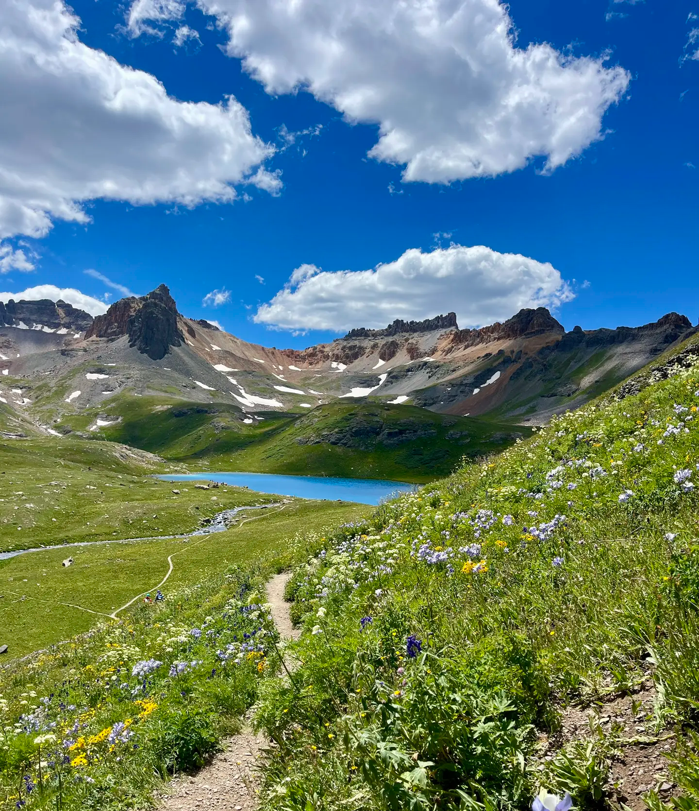
The American Basin Trail offers a truly memorable high-alpine experience, especially if you visit during peak wildflower season from mid-July to early August. You'll hike through vibrant grassy areas that…
3.08km
00:55
160m
0m
Embark on the Spud Lake Trail, an easy 1.9 miles (3.1 km) hike that guides you through pleasant aspen glades and dense pine forests. You will gain 526 feet (160…
1.64km
00:33
130m
0m
Embark on an easy hike up Sultan Peak, a short but rewarding route in the San Juan National Forest. This trail covers 1.0 miles (1.6 km) and involves a gentle…
3
ハイカー
3.79km
01:22
240m
240m
Embark on the Silver Cloud Mine Trail, an easy hike covering 2.4 miles (3.8 km) with a total elevation gain of 795 feet (242 metres). This route typically takes around…
1.63km
00:26
20m
20m
The Andrews Lake Loop Trail offers a delightful, accessible stroll around a picturesque alpine lake, perfect for a quick nature fix. You'll wind through towering pine trees and open meadows,…
920m
00:19
50m
50m
Discover the serene alpine setting of Crystal Lake on an easy hike through the San Juan Mountains. This route, just 0.6 miles (0.9 km) long, involves a gain of 170…
さらに多くのルートや他のユーザーのおすすめ情報を確認できます。
無料新規登録
すでにアカウントをお持ちですか?
おすすめのツアーは他のkomootユーザーが実際に経験した何千ものアクティビティに基づいています。
無料アカウントで今日から始めよう
次の冒険が待っています。
ログインまたは登録




コミュニティからのヒント

Mid-August the meadows and trail sides were a-bloom with Mountain Gentian, Fringed Gentian, and Agueweed (a species of dwarf gentian. Fireweed, lilac Fleabane, white Achillea were also in bloom. Views to the west include Engineer Mountain, Grand Turk, Bear Mountain, Sultan Mountain and more. Beautiful!
0
0

Two information boards and a medium sized parking lot are located at the American Basin Trailhead. This is a great starting point to summit Handies Peak since you are already pretty high up in elevation. To get here though, you should have a car with high-clearance and 4x4.
3
0

Andrews Lake is located just a few hundred feet down the trail from the trailhead parking area. The 13,077-foot Snowdon Peak looms in the background and often is reflected off the water. There is a nature trail that circles the lake, or you can just cross over the bridge/dam and continue towards the wilderness trails.
0
0

The upper trailhead requires a capable vehicle to access, usually a high clearance 4WD vehicle but you may make it in an SUV if the conditions are good. From here you can hike up stunning American Basin to Handies Peak and the Hardrock 100 route.
0
0

Castle Rock is part of a long line of cliffs, known as Hermosa Cliffs, near Purgatory Ski Resort. Castle Rock sits at an elevation of 10,441 feet and offers great views of the Needle Mountains from the summit.
0
0
Silvercloud Mine (also written Silver Cloud Mine) rests upon a hydrothermal ore deposit that colors the mountainsides in rusty hues. Ruins of the mining site lay all around the trail.
0
0
The trail up to the Silvercloud Mine is an easy hike along an OHV track that takes you up the canyon past a stunning waterfall to the old mine. The Upper portion of the trail may be snowed in through mid-summer.
0
0
Andrews Lake is located just a few hundred feet down the trail from the trailhead parking area. The 13,077-foot Snowdon Peak looms in the background and often is reflected off the water. There is a nature trail that circles the lake, or you can just cross over the bridge/dam and continue towards the wilderness trails.
1
0

komootモバイルアプリでインスピレーションを得よう


さらに探索
他の地域の最高のハイキングを見てみましょう。
