リンコン・デ・アデムズでの周辺の簡単なハイキングとウォーキング
4.3
(72)
693
ハイカー
62
ハイキング
リンコン・デ・アデムズをウォーキングで探索して、楽しく自然を満喫しましょう。komootでは、みなさんがアドベンチャーを最大限お楽しみいただけるよう、リンコン・デ・アデムズでので人気の簡単なハイキングとウォーキングルートのリストを作成しました。これらのルートはショートハイキング、子供連れや家族みんなでのアクティビティにも最適で、誰もが楽しめるルートとなっています。
最終更新日: 10月 16, 2026
4.8
(5)
45
ハイカー
5.96km
01:39
110m
110m
初級者向けハイキング. あらゆるフィットネスレベルに適しています。 進みやすいルートです。あらゆるスキルレベルに適しています。
5.0
(1)
13
ハイカー
6.01km
01:47
170m
170m
初級者向けハイキング. あらゆるフィットネスレベルに適しています。 進みやすいルートです。あらゆるスキルレベルに適しています。

13
ハイカー
初級者向けハイキング. あらゆるフィットネスレベルに適しています。 進みやすいルートです。あらゆるスキルレベルに適しています。
10
ハイカー
初級者向けハイキング. あらゆるフィットネスレベルに適しています。 進みやすいルートです。あらゆるスキルレベルに適しています。
2.0
(1)
6
ハイカー
5.04km
01:20
50m
50m
初級者向けハイキング. あらゆるフィットネスレベルに適しています。 進みやすいルートです。あらゆるスキルレベルに適しています。
3.0
(1)
8
ハイカー
3.84km
01:05
80m
80m
初級者向けハイキング. あらゆるフィットネスレベルに適しています。 進みやすいルートです。あらゆるスキルレベルに適しています。
8
ハイカー
5.61km
01:36
130m
130m
初級者向けハイキング. あらゆるフィットネスレベルに適しています。 進みやすいルートです。あらゆるスキルレベルに適しています。
2
ハイカー
2.09km
00:34
30m
30m
初級者向けハイキング. あらゆるフィットネスレベルに適しています。 進みやすいルートです。あらゆるスキルレベルに適しています。
4
ハイカー
5.08km
01:30
160m
160m
初級者向けハイキング. あらゆるフィットネスレベルに適しています。 進みやすいルートです。あらゆるスキルレベルに適しています。
さらに多くのルートや他のユーザーのおすすめ情報を確認できます。
すでにアカウントをお持ちですか?
おすすめのツアーは他のkomootユーザーが実際に経験した何千ものアクティビティに基づいています。






コミュニティからのヒント

Don't miss a corner of the Royal Villa of Castielfabib, especially recommended the remains of the walled enclosure, the Castle and the imposing Church-Fortress of Our Lady of the Angels, the House of the Town or the remains of the Convent of San Guillermo, without forgetting the network of steep and narrow streets with unique examples of popular architecture, the gorges and banks of the Ebrón, or the Muela del Royo, where the Cross of the 3 Kingdoms is located.
0
0


You get the best view if you walk towards it from the north.
2
0

Absolutely unexpected - a natural bridge takes you over the gorge. I have never seen anything like this before.
2
0

A very simple route, with wonderful landscapes and always bordering the Arcos River.
2
0

The route begins next to the picnic area (recreational area) and a small soccer field-park children's school at the end of the town of El Cuervo, on the banks of the Ebrón River.
10
0

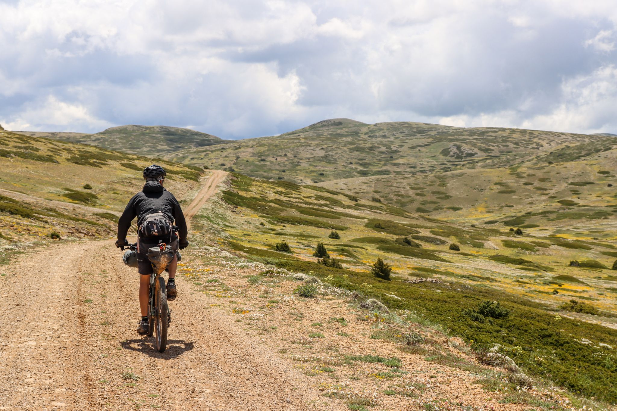
The final section of the climb to Alto de las Barracas (1,838 m) is not cyclable but it is easy to climb pushing the bicycle. The trail markings pass through the vertex and continue in the direction of Pino Vicente. White and yellow signs are painted on the limestone rocks and there are also stone milestones marking the way.
0
0

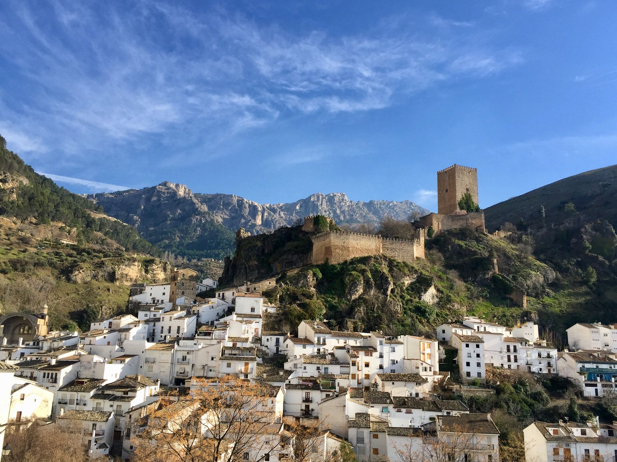
Spectacular population located at the top of a mountain and where it is located in the middle of the Rio Ebrón valley. In the town there is the old castle and a fortified church that can be seen from many kilometers away.
0
0
リンコン・デ・アデムズでのの人気観光スポット

komootモバイルアプリでインスピレーションを得よう


探していたものは見つかりませんでしたか?
リンコン・デ・アデムズの下にある他のハイキングをチェックして、目的地で完璧なルートを見つけましょう。
さらに探索
他の地域の最高のハイキングを見てみましょう。
