ラントクライス・アンハルト-ビターフェルドの湖・トップ20
次の冒険でラントクライス・アンハルト-ビターフェルドの素晴らしい湖を訪れてみませんか?湖畔の穏やかな雰囲気や、天気が良い日のひと泳ぎは格別です。komootコミュニティがおすすめするラントクライス・アンハルト-ビターフェルドの素晴らしい湖の一覧を参考にして、次の冒険では湖をもっと満喫しましょう。
最終更新日: 8月 25, 2026
グローサー・ゴイツシェ湖
ハイライト • 湖
翻訳者 Google •
役立つ情報 は

ビッターフェルト市の港
ハイライト • 構造物
翻訳者 Google •
役立つ情報 は

今すぐサインアップして、こんな場所を発見しよう
最高のシングルトラック、ピーク、その他のエキサイティングなアウトドアスポットのおすすめを受け取ろう。
無料新規登録
ビッターフェルト市のハーバー
ハイライト • 休憩所
Beautiful cycle paths, swimming opportunities and harbor facilities.
Former opencast mine.
More information: de.wikipedia.org/wiki/Gro%C3%9Fer_Goitzschesee
翻訳者 Google •
役立つ情報 は

Goitzscheビーチ
ハイライト • ビーチ
翻訳者 Google •
役立つ情報 は

ヴィラ・アム・ベルンシュタインゼーからの眺め
ハイライト • 展望台
翻訳者 Google •
役立つ情報 は

ムルデシュタウゼーのムルデ橋
ハイライト • 橋
翻訳者 Google •
役立つ情報 は

ゴイツシェ湖の水位塔
ハイライト • 展望台
翻訳者 Google •
役立つ情報 は
グレーベルナー湖
ハイライト • 湖
翻訳者 Google •
役立つ情報 は

ムルデ貯水池橋から望むムルデ川とムルデ貯水池
ハイライト • 展望台
翻訳者 Google •
役立つ情報 は
グローサー・ゴイツシェ湖のペーゲルトゥルムとMSレウドニッツ
ハイライト (セグメント) • 湖
翻訳者 Google •
役立つ情報 は
無料でサインアップして、さらに多くの湖を発見しましょう ラントクライス・アンハルト-ビターフェルドでの。
無料新規登録
すでにアカウントをお持ちですか?
無料アカウントで今日から始めよう
次の冒険が待っています。
ログインまたは登録
ラントクライス・アンハルト-ビターフェルド周辺で人気
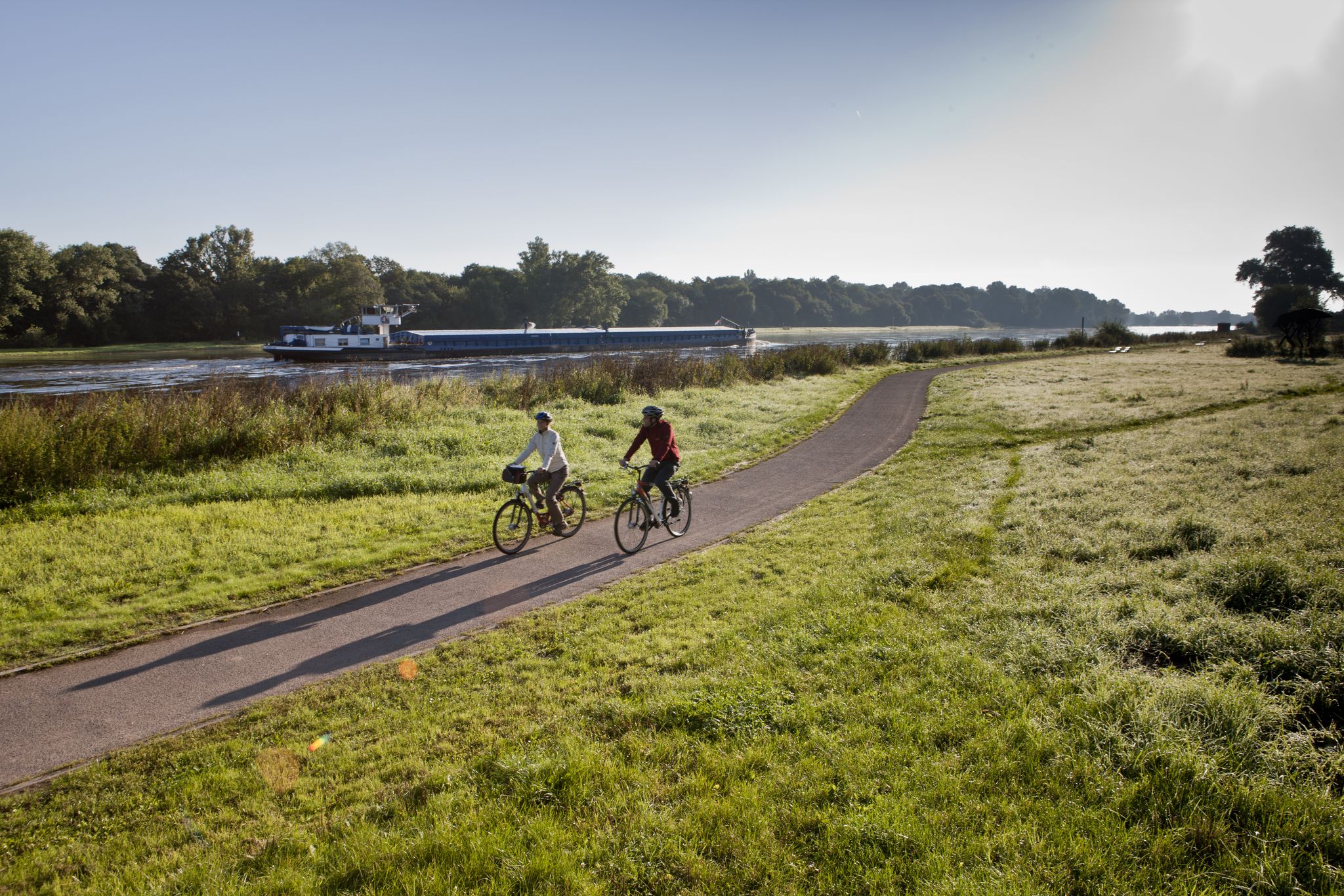
ザクセン・アンハルトをエルベ・サイクル・ルートで
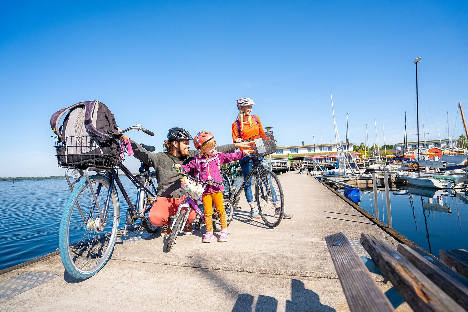
Lake views and fresh air – cycling by the water in the Leipzig region
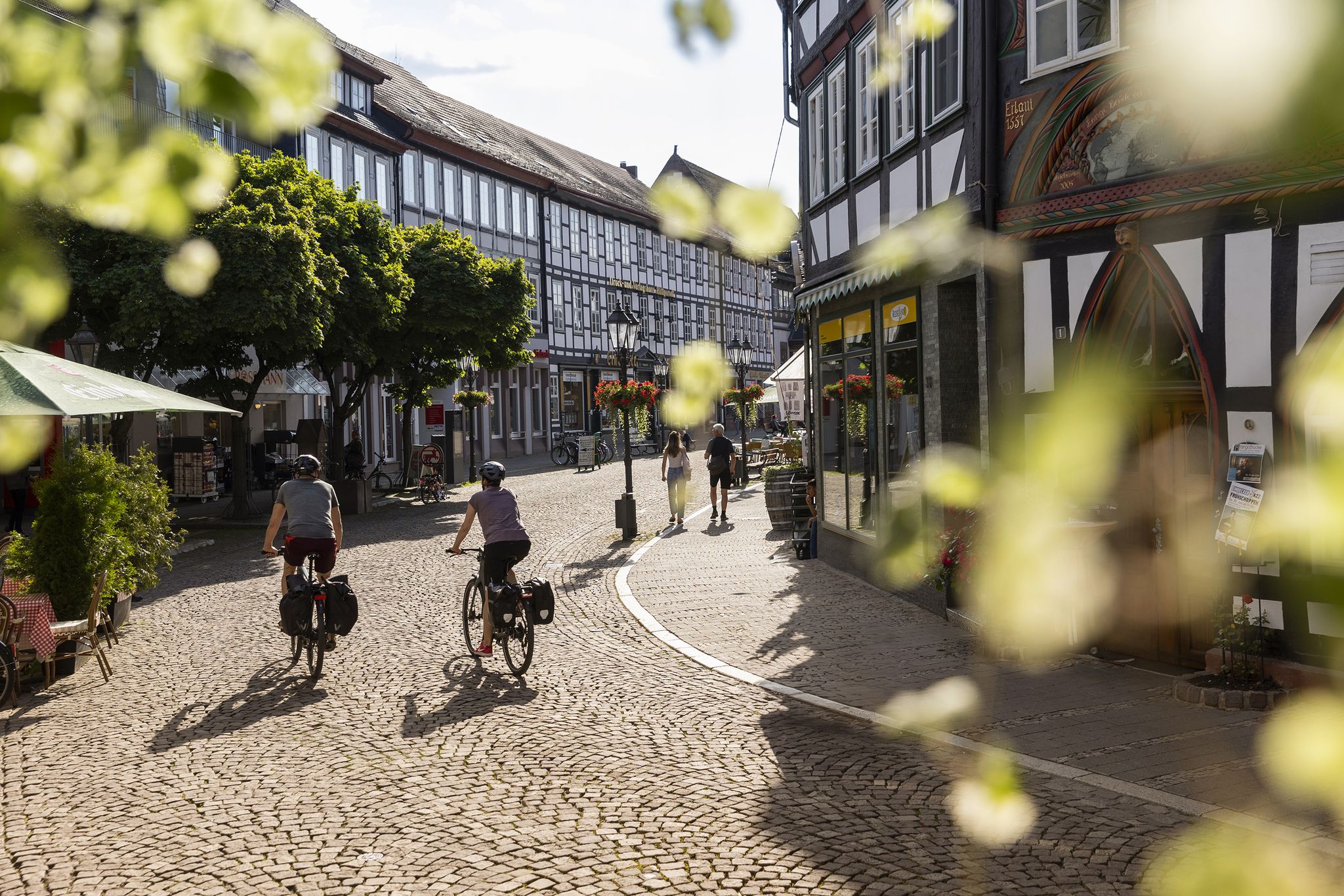
文化史を体験する D-Route 3 – Europaradweg R1
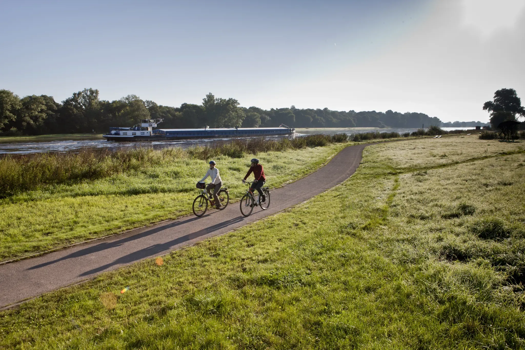
エルバーサイクリングルートを通ってザクセン=アンハルト
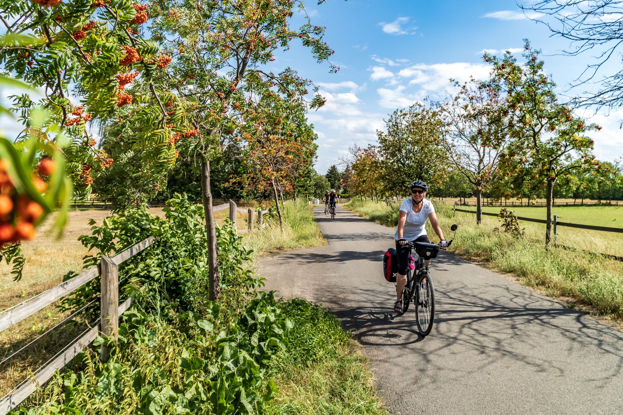
Cycling into the countryside – urban escapism around Leipzig
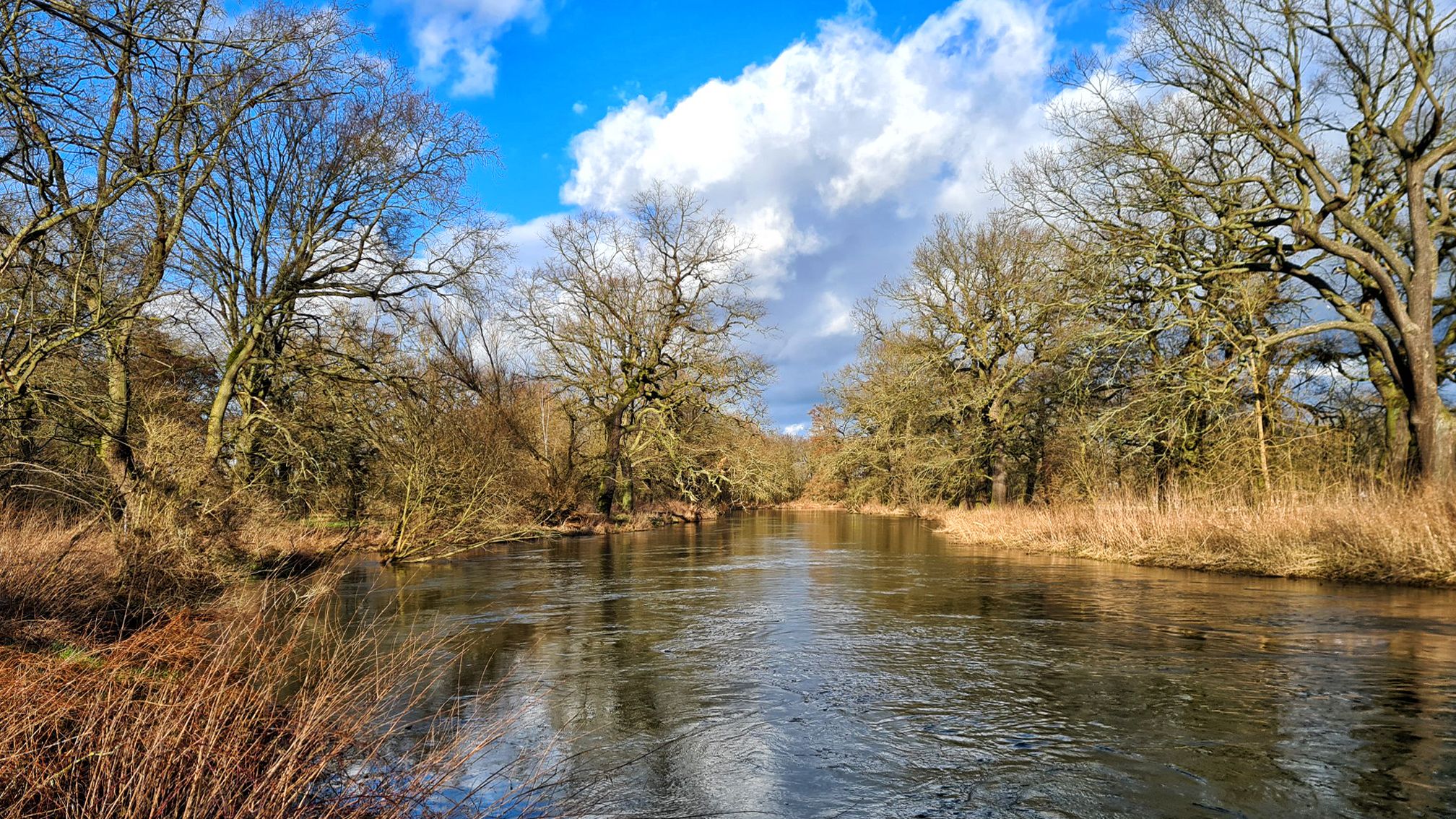
スタッフェルワンデルング「オーデル河からエルベ河に、さらにザーレ河まで」
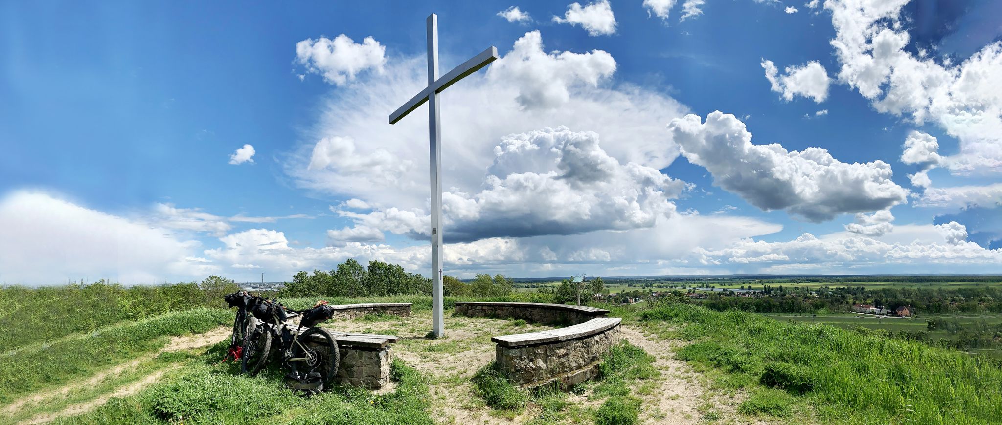
Romanticism on the Elbe River — cycling around the MDV north network
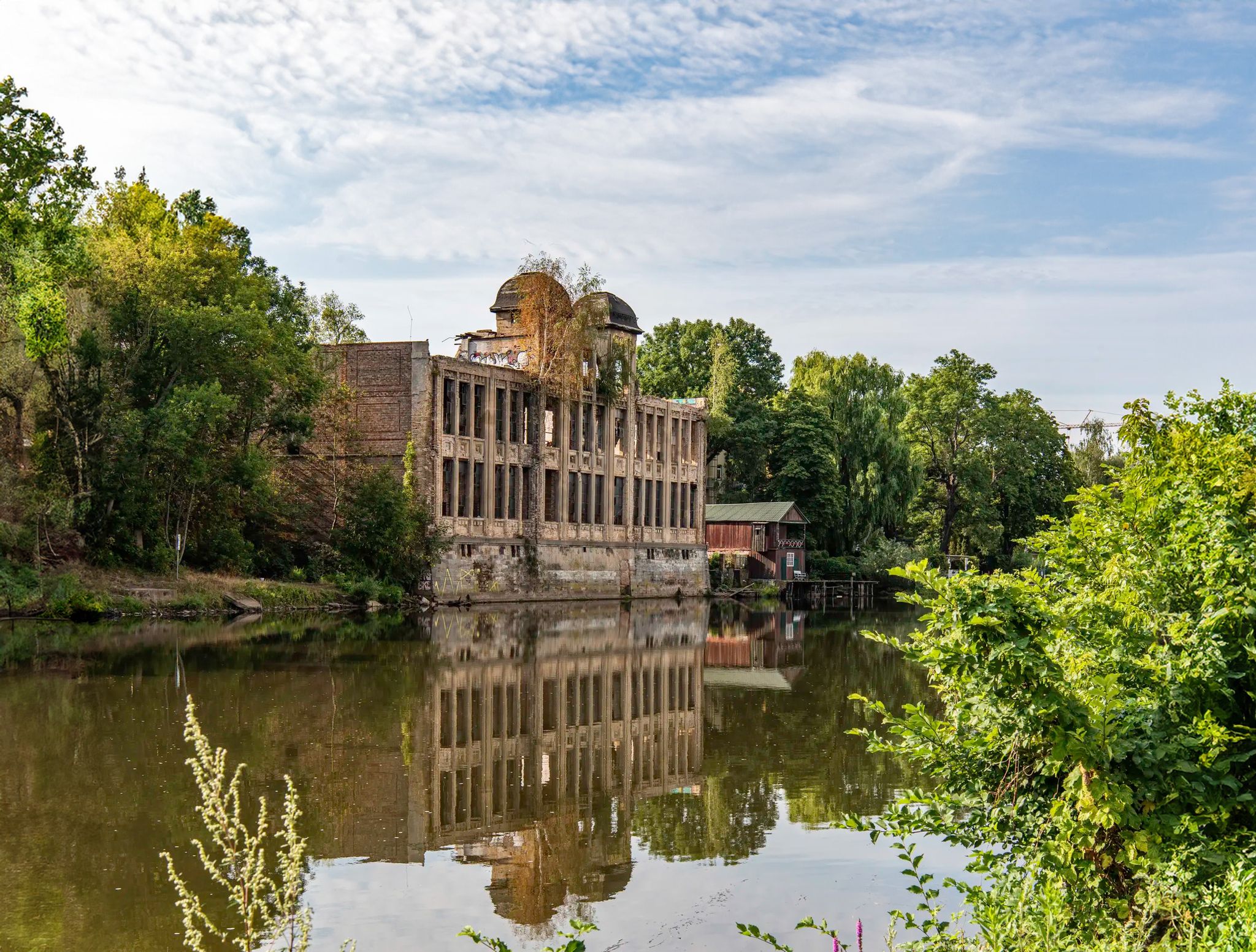
Abandoned and forgotten — mysterious lost places around Leipzig
Mulde CYCLINGPath
Holiday in Germany – Discover Saxony-Anhalt by bike
ラントクライス・アンハルト-ビターフェルドでのの他の冒険


コミュニティからのヒント

美しい湖と周回コース。この周回コースはかなり広く、4分の3が舗装されています。湖と森のリゾートはおすすめです👍
1
0

The Mulde, also known as the United Mulde or Vereinte Mulde, is a left, non-navigable tributary of the Elbe. It originates southeast of Leipzig near Sermuth (Saxony) from the confluence of two large headstreams: the longer Zwickauer Mulde and the Freiberger Mulde, which drains a larger catchment area due to its greater discharge. The river's catchment area encompasses large parts of Saxony and, in particular, the vast majority of the northern slopes of the Ore Mountains. With a discharge of approximately 73 m³/s at its mouth,[8] it is the fourth largest tributary of the Elbe. The old name for the Mulde, Milda, is translated by onomasticians as "the water-rich one."[9] The word element "Mel," referring to grinding, is sometimes associated with the name due to the numerous mills that once operated along the river. This overlooks the fact that river names represent the oldest, often Slavic or Celtic, layer of geographical names. The Mulde's name is sometimes linked to the numerous mills that once operated along its banks, but this connection overlooks the fact that river names represent the oldest, often Slavic or Celtic, layer of geographical names. Source https://de.wikipedia.org/wiki/Mulde_(Fluss)
2
0

City harbor Bitterfeld - In the background you can already see the destination, the Bitterfeld arch
1
0


2 nice restaurants, free parking, many opportunities for cycling, hiking or swimming!
0
0

The Gröbener See is a flooded pit with a now balanced vegetation. Furthermore, holiday facilities are tastefully integrated. There is a caravan site, holiday homes and a hotel.
0
0
View from the reservoir bridge
5
0
Great clear water, only the guests are special here 😳
4
1
ラントクライス・アンハルト-ビターフェルドでのの人気ルート
ラントクライス・アンハルト-ビターフェルドでのの人気観光スポット

komootモバイルアプリでインスピレーションを得よう


探していたものは見つかりませんでしたか?
地域ごとの最高の湖を見つけましょうラントクライス・アンハルト-ビターフェルドでの:
