レーン・グラープフェルトの峡谷・トップ8
レーン・グラープフェルトには 8
の息を呑むほど美しい峡谷があります。以下に紹介する必見の峡谷一覧に掲載されている写真、おすすめ情報、その他のデータを参考にして、次の冒険でレーン・グラープフェルトの美しい峡谷を訪れる際に役立てましょう。
最終更新日: 8月 25, 2026
シュヴァルツバッハ峡谷とトイフェルスミューレの滝
ハイライト (セグメント) • 峡谷
翻訳者 Google •
役立つ情報 は

アイスグラーベン自然林保護区
ハイライト • 森
翻訳者 Google •
役立つ情報 は

今すぐサインアップして、こんな場所を発見しよう
最高のシングルトラック、ピーク、その他のエキサイティングなアウトドアスポットのおすすめを受け取ろう。
無料新規登録
Stodenberg橋
ハイライト • 橋
翻訳者 Google •
役立つ情報 は
テーフェルスグラーベン
ハイライト • 峡谷
Currently dry, but whoever gets in there will never get out safely ...
😿😜
翻訳者 Google •
役立つ情報 は

Hammer Streich(デーバッハタール)
ハイライト (セグメント) • 自然
翻訳者 Google •
役立つ情報 は

マリエングロッテ・シェーナウ
ハイライト • 宗教的な場所
翻訳者 Google •
役立つ情報 は

デュルバッハタール渓谷
ハイライト • 峡谷
翻訳者 Google •
役立つ情報 は
無料アカウントで今日から始めよう
次の冒険が待っています。
ログインまたは登録
レーン・グラープフェルト周辺で人気
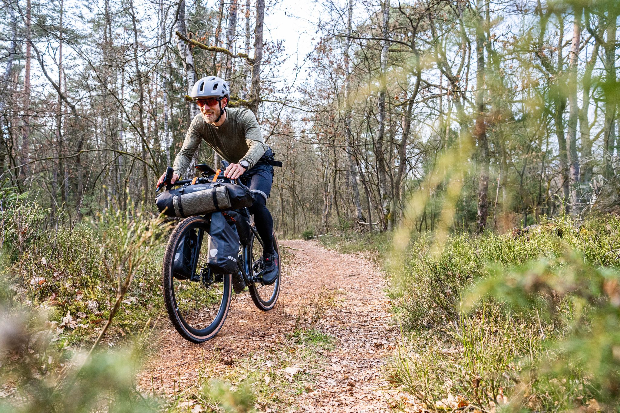
ハンブルドルックリスのバインスのファイルのマーシを
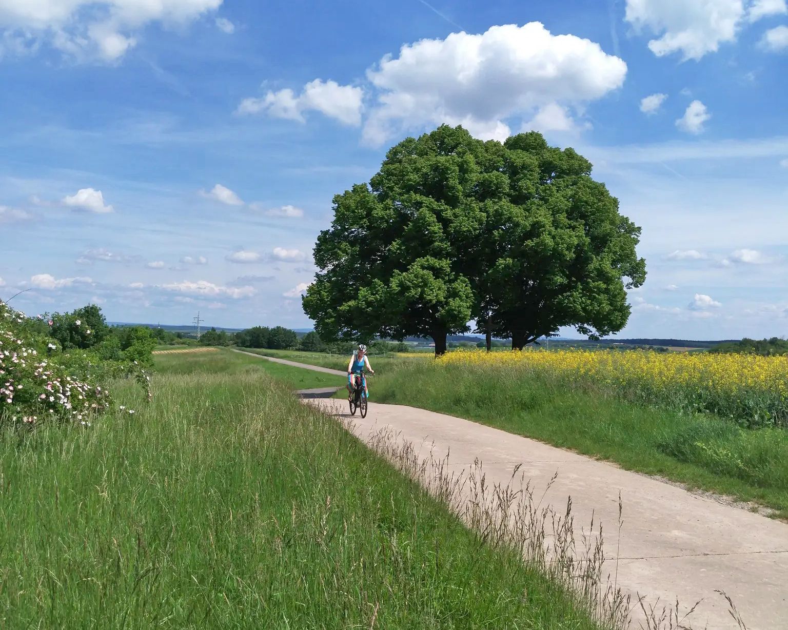
メイン・ヴェラ自転車道で川から川へ
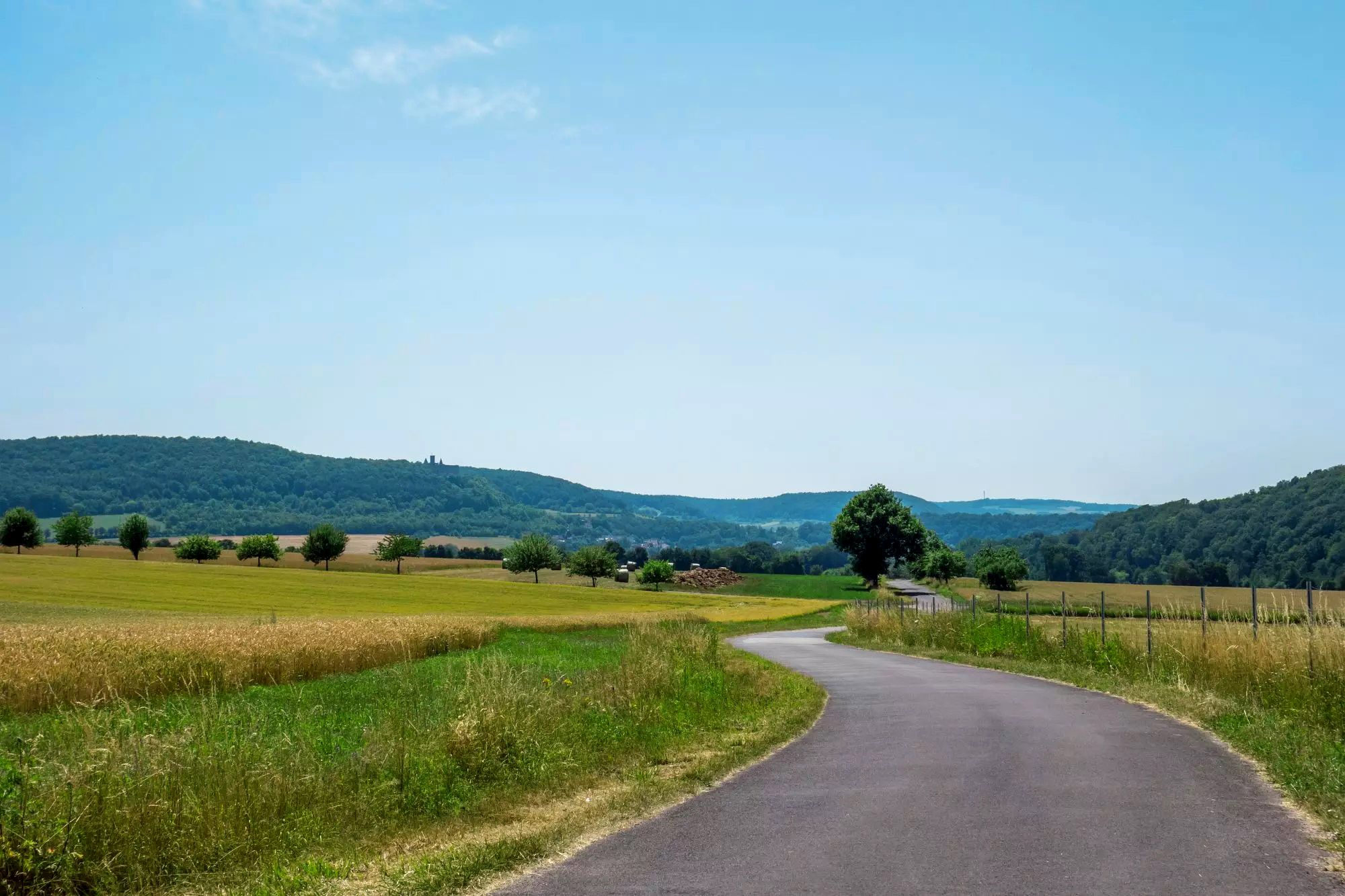
デューツランドのローン・サイクルウェイでオープン・ディスタンスの土地をサイクリング
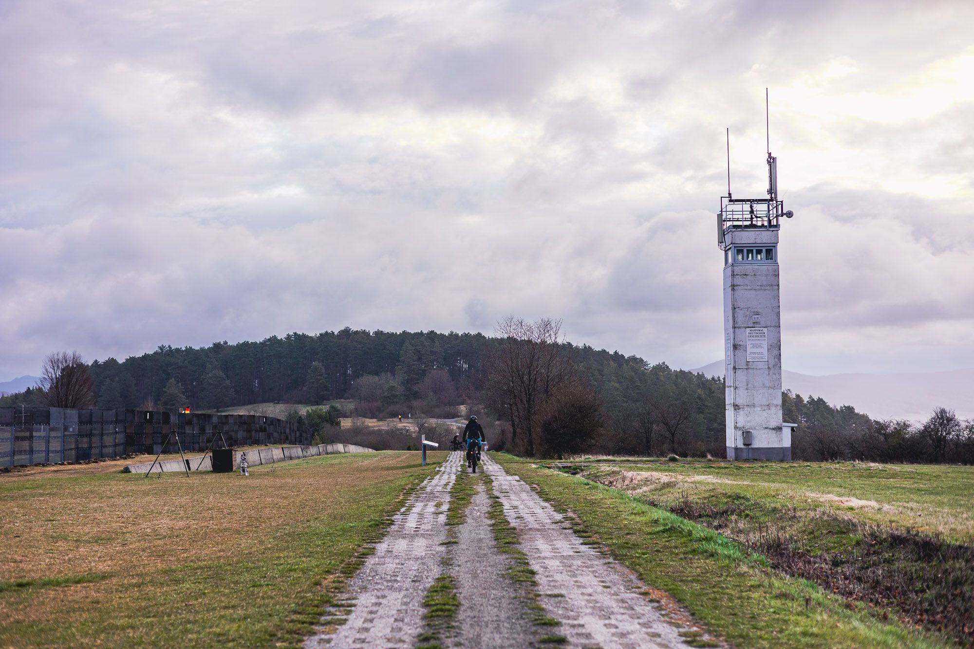
バルト海からフォクトラントまで – ドイツの緑の旧国境沿い8日間

Stages of the HOCHRHÖNER Premium Hiking Trail
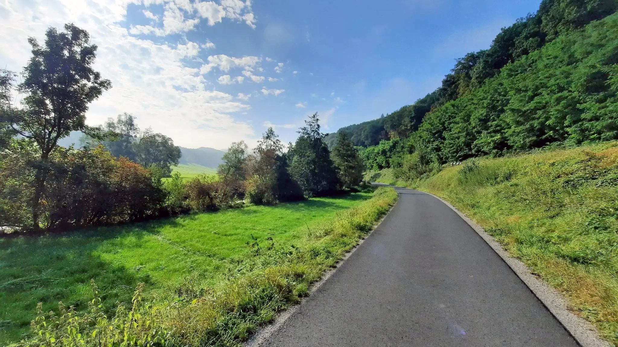
ドイツのグラブフェルトからマインへのサイクリングツアー–フランコニア・ザーレサイクリングルート
ストレスを自然と沈黙に取り替える – Rennweg(ハッスベルゲ)
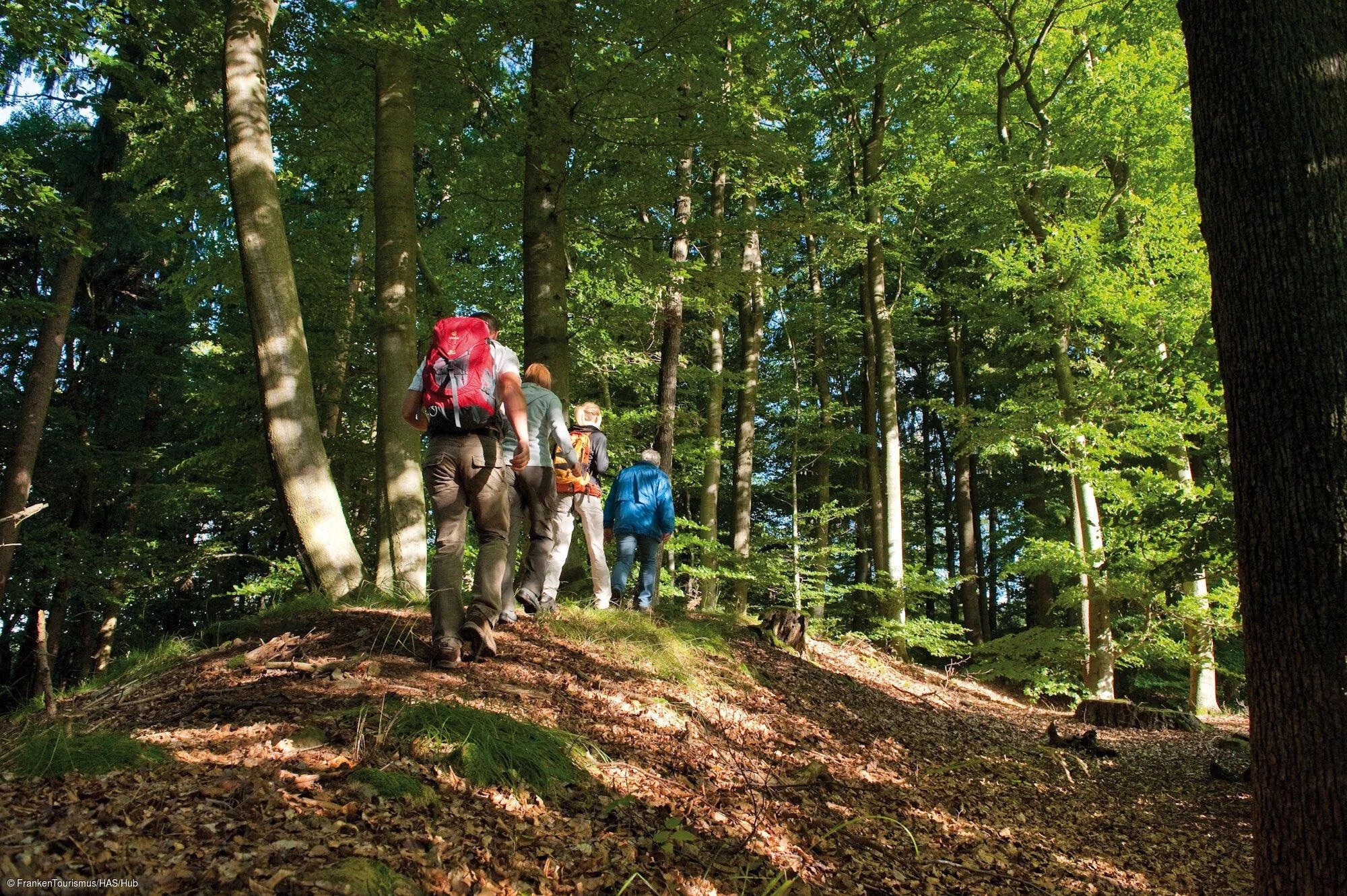
ケルトから現代へ – ケルト体験トレイル

サウスのエクストラツアー- Rhönの卓越したプレミアムハイキングトレイル
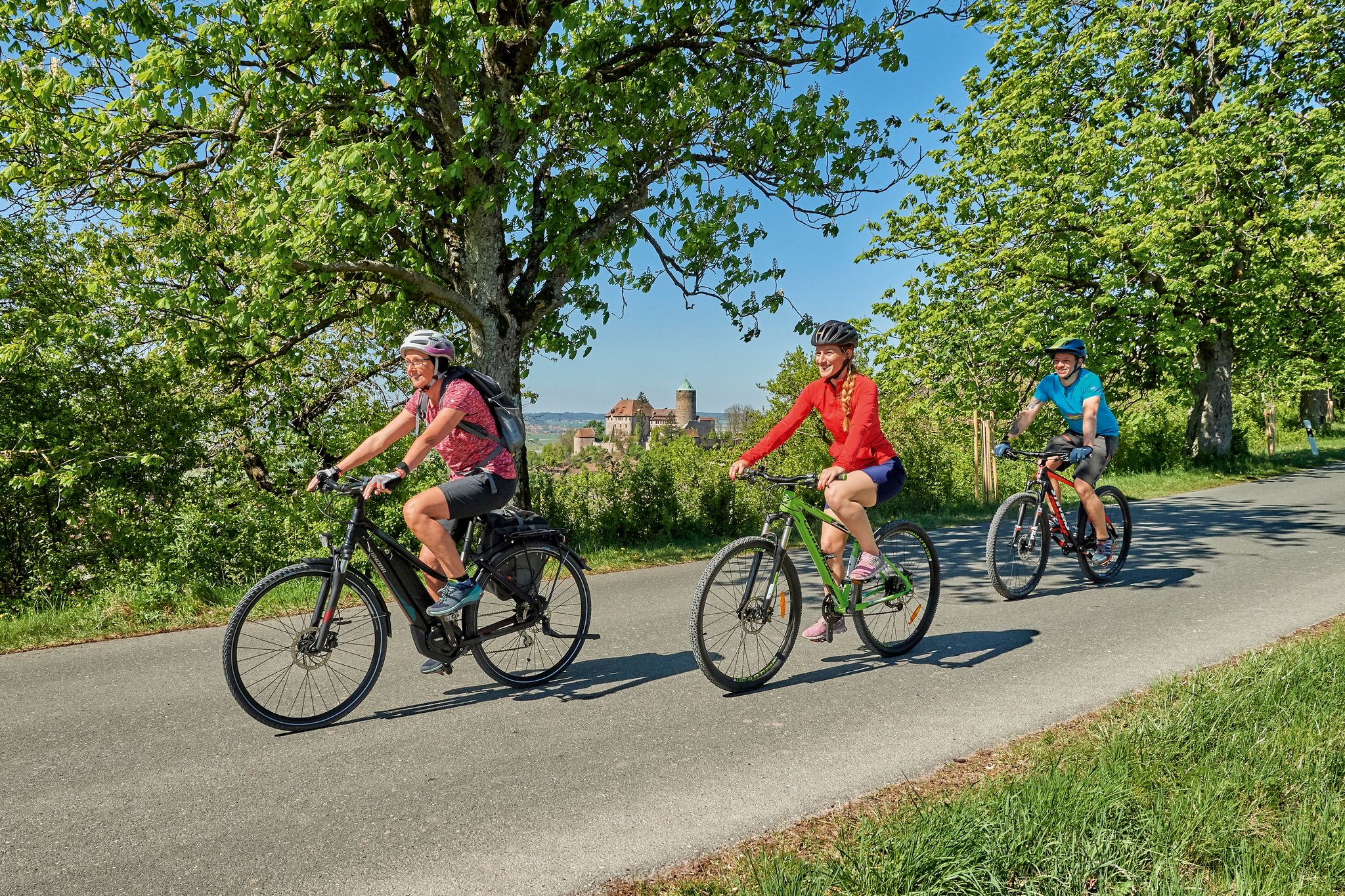
Sustainable cycling holidays — e-bike Tours through Franconia
レーン・グラープフェルトでのの他の冒険


コミュニティからのヒント

Below the Sandberg sports field, take the gravel road downhill, keep right (!) before the ranch, and follow the old field paths. According to BayernAtlas, there are actually three, the top one leading down to the St2288.
0
0
Beautiful, secluded valley between Sandberg and Schmalwasser 😺
0
0

A beautiful piece of nature. Highly recommended.
1
0

www.biosphaere-rhoen.de Information from panel no. 2 Eisgraben - cold wind, natural forests The water of the Aschelbach, which flows over and between the basalt blocks of the Eisgraben, comes from the Black Moor on top of the Hohe Rhön - one of the last intact raised bogs in Germany. Cold air also flows from there down the valley channel. The Eisgraben owes its name to this, because it ensures that the frost lasts here well into spring. Large areas of the Eisgraben are designated as a natural forest reserve and enjoy special protection as a core zone of the UNESCO Rhön Biosphere Reserve. Leaving the moor, the Aschelbach initially meanders quietly through the landscape and finally plunges down a 4-meter-high waterfall. When it enters the forest, the stream is then called Eisgraben. It meanders between the trees and in places drops steeply by up to 10 meters on the side. Every spring, the floods of melting snow transform the narrow summer stream into a raging torrent that cuts ever deeper into the ground. An extreme storm on July 26, 1834 gave the Eisgraben its current appearance. Torrential rain caused a massive landslide that buried the town of Hausen. The catastrophe washed out brown coal in some places, which was then mined. A considerable system of tunnels was created. However, the brown coal was still quite young and therefore of poor quality, so mining was soon stopped. The women's cave is located in the lower part of the Eisgraben. At this point, the water has dug a 50-meter-long and 20-meter-deep cave into the rock. According to legend, this cave was a refuge for the women from the hamlet of Hillenberg in times of trouble. Today, the cave is no longer accessible. Also nearby are a hunter's hut and the ruins of Hildenburg.
1
0


Impressive natural spectacle of water, very worth seeing and interesting, great location
5
0


The Aschelbach, which comes from the Rhön high plateau, has created the deep valley of the Eisgraben here. There is a reason for the name Eisgraben: the cool stream water and the accompanying cold air currents ensure that the temperature along the stream is a few degrees lower than in the surrounding area.
4
0
レーン・グラープフェルトでのの人気ルート
レーン・グラープフェルトでのの人気観光スポット

komootモバイルアプリでインスピレーションを得よう


探していたものは見つかりませんでしたか?
さらに多くの渓谷を見たいですか?地域ごとの最高のものを見てみましょうレーン・グラープフェルトでの:
さらに探索
この地域で全てを発見しましたか?次の冒険のために追加の渓谷を見てみましょうレーン・グラープフェルトでの:
