北アイルランドのおすすめ登山&山歩きルート
7
ハイカー
3
ハイキング
イギリスの山々をもっと探索しませんか?このガイドでご紹介するのは、komootが北アイルランドでの登山&山歩きのコレクション全体を評価して選び抜いた、このエリアの人気ルートです。あなたに合ったルートを見つけるには、他のユーザーがアップロードした役立つ情報や写真を閲覧し、クリック操作で簡単に表示できる詳細なデータを参考にしましょう。北アイルランドでの次の冒険にぴったりの登山&山歩きルートが見つかるはずです。
最終更新日: 7月 23, 2026
4
ハイカー
11.0km
03:52
580m
580m
中程度の登山ルート. ある程度のフィットネスレベルが必要です。 進みやすいルートです。あらゆるスキルレベルに適しています。
1
ハイカー
8.04km
02:52
460m
460m
中程度の登山ルート. ある程度のフィットネスレベルが必要です。 進みやすいルートです。あらゆるスキルレベルに適しています。

無料新規登録
2
ハイカー
難しい登山ルート. 標準以上のフィットネスレベルが必要です。 全般的に進みやすいルートです。安定して歩行できる技術が必要です。
おすすめのツアーは他のkomootユーザーが実際に経験した何千ものアクティビティに基づいています。
無料アカウントで今日から始めよう
次の冒険が待っています。
ログインまたは登録
北アイルランド周辺で人気
Newry And Mourneでの登山&山歩き
アイルランドとスコットランドを通じて世界選手権へバイクパッキング
アイルランドの多様な歴史と自然を自転車で探索してみてください - Kingfisher Trail

Graffiti & Street Art Trails through Europe’s Coolest Cities
ネア湖周辺のサイクリング - ラフショア・トレイル
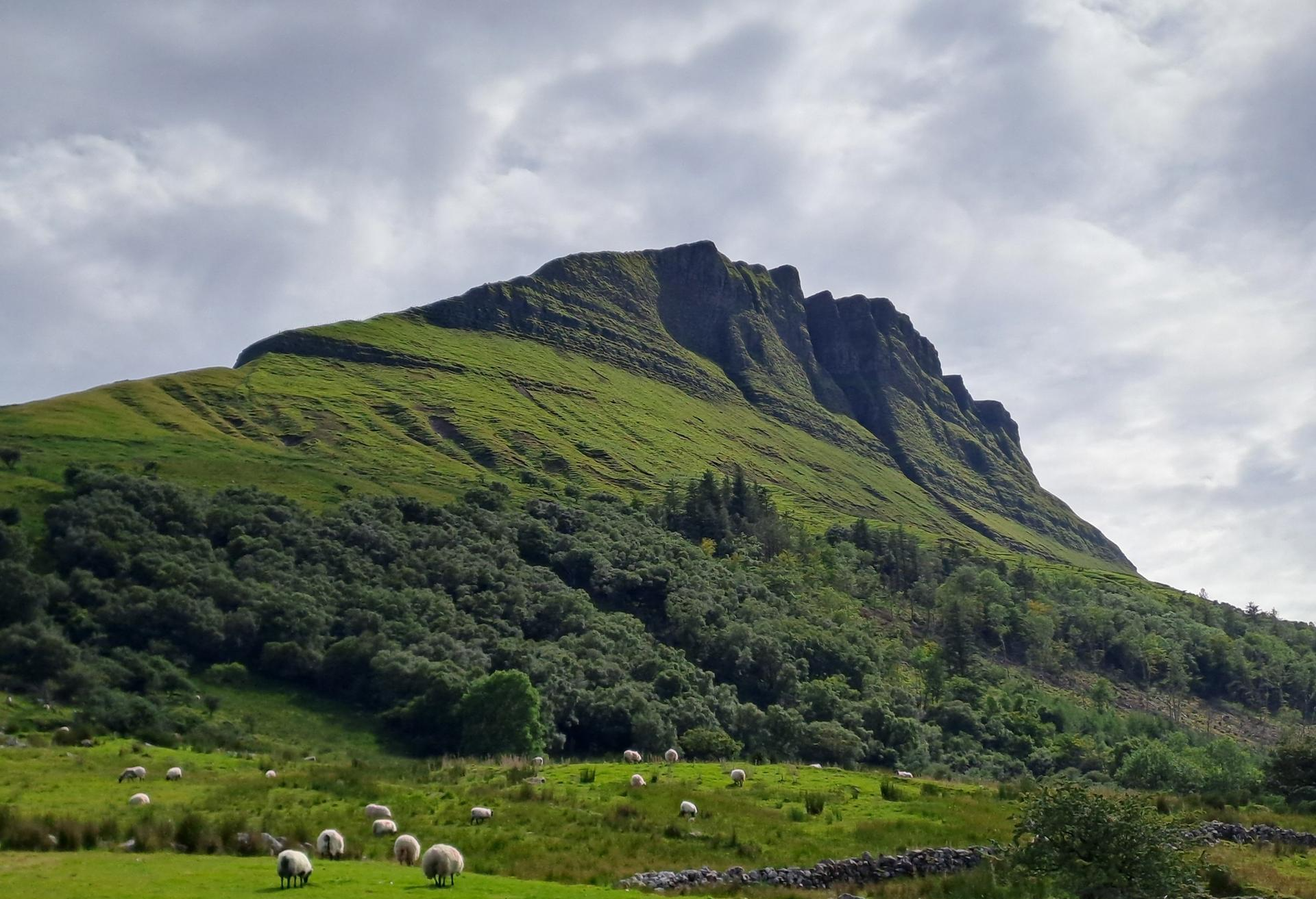
ノースウェスト・トレイルで国境を越えるサイクリング
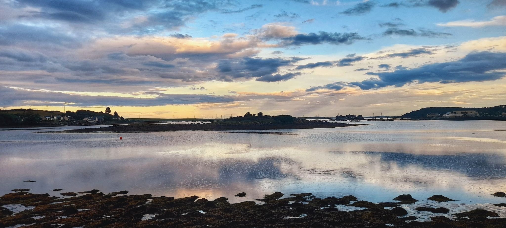
湖畔と海辺 - ストラングフォード・ラフ・サイクルトレイル
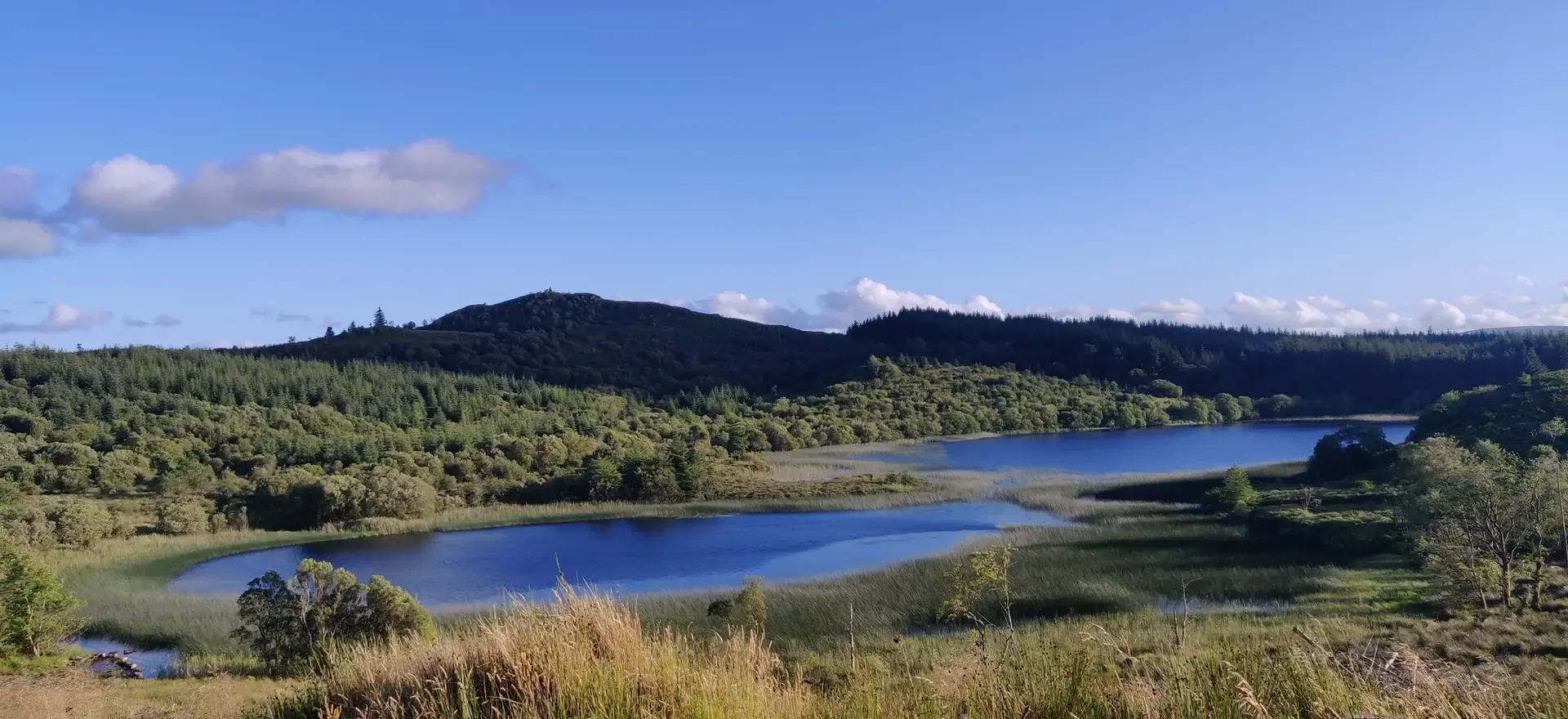
アイルランドの険しい乗り物-小斑点アイルランド
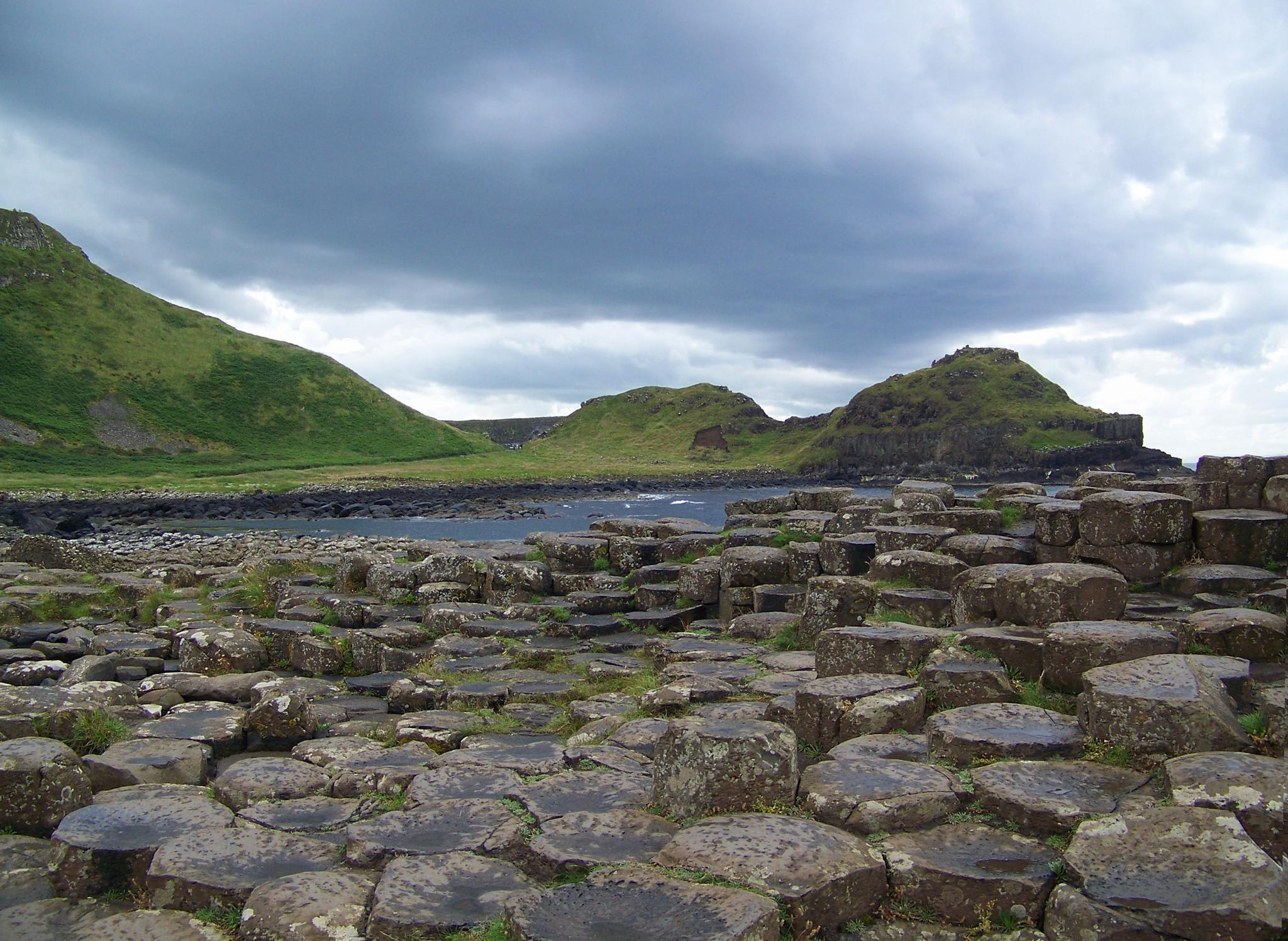
Walking with Giants — Causeway Coast Way
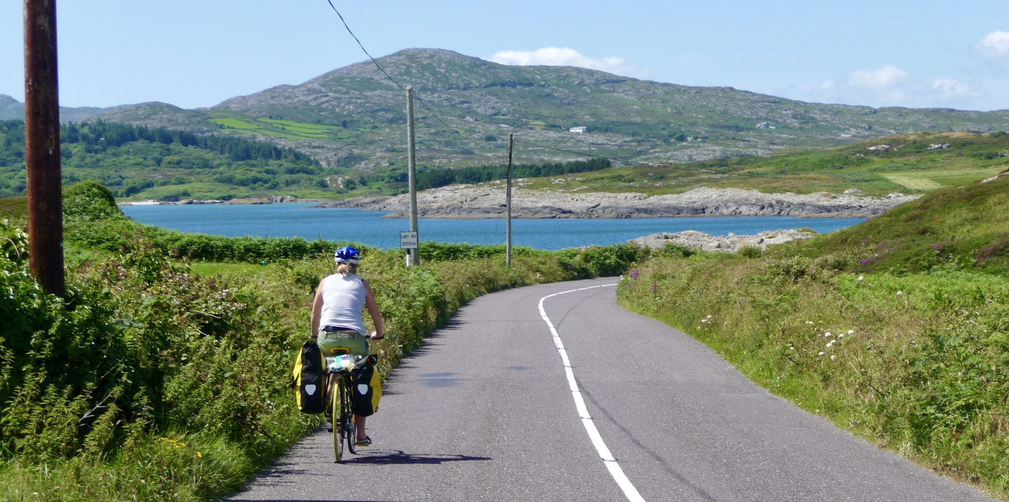
美しいアイルランドを発見して、マイゼンからマリンまでエンドツーエンドをサイクリングしてください
北アイルランドでのの他の冒険


コミュニティからのヒント

スリーブ・ビンニアンはまさに魔法です。北アイルランドで3番目に高いピーク(標高747メートル)として、その頂上を守る巨大で風化した花崗岩の塔—トーと呼ばれる—のおかげで、モーンズで最もドラマチックなシルエットのタイトルを簡単に獲得しています。 https://www.expresstollpass.com
0
0

Starting from Carrick Little Car Park, the hiking path to Slieve Binnian offers a rewarding journey through the heart of the Mourne Mountains. This moderate to challenging loop, approximately 11.2 km in length, follows the Mourne Wall, a historic dry-stone structure built in the early 1900s, guiding hikers toward the summit of Slieve Binnian (747 m). The ascent is steady, with a mix of rocky terrain and scenic views. As you approach the summit, the path becomes more rugged, leading to the iconic South and North Tors. From the summit, panoramic vistas unfold, offering breathtaking views of the Silent Valley and the surrounding peaks.
1
0


The small, historic port provides a charming setting with views of the Mourne Mountains and the sea. The promenade is well maintained and is great for a relaxing cruise along the coast. However, it can get quite busy in good weather and at weekends, which can slow down the journey. A highlight is the proximity to Murlough National Nature Reserve, which is just a few kilometers away and is ideal for further exploration. Note, however, that some sections of the promenade can be slippery when wet, so care must be taken.
1
0
In the middle of the forest, you suddenly find yourself standing in front of a bizarre stone creature - the "witch". She looks as if she has just risen from the mossy ground, with a mischievous smile and deep, expressive wrinkles on her face. This artfully designed stone is one of those unexpected encounters that transform the forest into a small adventure land. When you explore this magical place surrounded by old trees and whispering leaves, it almost seems as if the witch is greeting you with a wink. Here you can linger for a moment, enjoy the silence and let your imagination run wild - who knows what stories this forest still has to tell?
1
0
On the way through the Giant's Lair you will be immersed in Irish legends. As soon as you pass under the artistically carved archway, a magical world opens up in which the story of Finn McCool comes to life. The path leads you and the whole family through four chapters that bring the world of legend to life with lovingly designed stations. For the little ones it is an exciting treasure hunt - at every bend there are new clues waiting for them, which they eagerly discover. While they run ahead to find the next adventure, there is enough time for you to enjoy the lush nature. The dense trees, the mosses and the ancient carvings make you forget everyday life. You are in the middle of a story that unfolds further with every step.
1
0

If you fancy a dip after all those hills, this is a very safe spot for swimming. The slipway at the side of the harbour wall is the preferred entry point. If you look back along the side of Slieve Donard, you will see some cottages known as “Widows Row”. These were built for the widows of fishermen who died at sea. They would be able to live out their days in one of the cottages looking out to sea.
1
0

komootモバイルアプリでインスピレーションを得よう


探していたものは見つかりませんでしたか?
北アイルランドの下にある他の登山ハイキング & ルートをチェックして、目的地で完璧なルートを見つけましょう。
