フォーゲルスベルククライスの絶景の山頂・トップ20
絶景を目指して登るのであれ、達成感のために登るのであれ、山頂を訪れることで、フォーゲルスベルククライスの美しい自然をもっと満喫することができます。20
もの選択肢の中から、制覇する山頂を決めるのは簡単ではありません。スムーズに次の冒険で目指す山頂を選べるように、フォーゲルスベルククライスの素晴らしい山頂をこのガイドにまとめました。
最終更新日: 7月 21, 2026
ビスマルク塔(タウフシュタイン)
ハイライト • 記念碑
翻訳者 Google •
役立つ情報 は

ビルシュタイン山頂
ハイライト • 山頂
And (@ Wener K.: I agree with you 100%) although only just under 666 …
翻訳者 Google •
役立つ情報 は

今すぐサインアップして、こんな場所を発見しよう
最高のシングルトラック、ピーク、その他のエキサイティングなアウトドアスポットのおすすめを受け取ろう。
無料新規登録
ガッカーシュタイン山頂の十字架
ハイライト • 山頂
翻訳者 Google •
役立つ情報 は

フォーゲルスベルクからのフランクフルトのスカイラインの眺め
ハイライト • 展望台
翻訳者 Google •
役立つ情報 は

ホーエロートシュコプフ山頂と通信塔
ハイライト • 山頂
翻訳者 Google •
役立つ情報 は

ヘルヒェンハイナー高地
ハイライト • 山頂
翻訳者 Google •
役立つ情報 は

ホーエロートスコプ展望塔とパノラマビュー
ハイライト • 展望台
Mega 180 degree view! …
翻訳者 Google •
役立つ情報 は
ザンガースベルク山頂の十字架(494m)
ハイライト • 山頂
翻訳者 Google •
役立つ情報 は

ジーベン・アホルン
ハイライト • 山頂
翻訳者 Google •
役立つ情報 は

トーア・ツム・フォーゲルスベルク – ヴルカンラートヴェークの最高地点
ハイライト • レストラン
翻訳者 Google •
役立つ情報 は

無料でサインアップして、さらに多くの山を発見しましょう フォーゲルスベルククライスでの。
無料新規登録
すでにアカウントをお持ちですか?
無料アカウントで今日から始めよう
次の冒険が待っています。
ログインまたは登録
フォーゲルスベルククライス周辺で人気
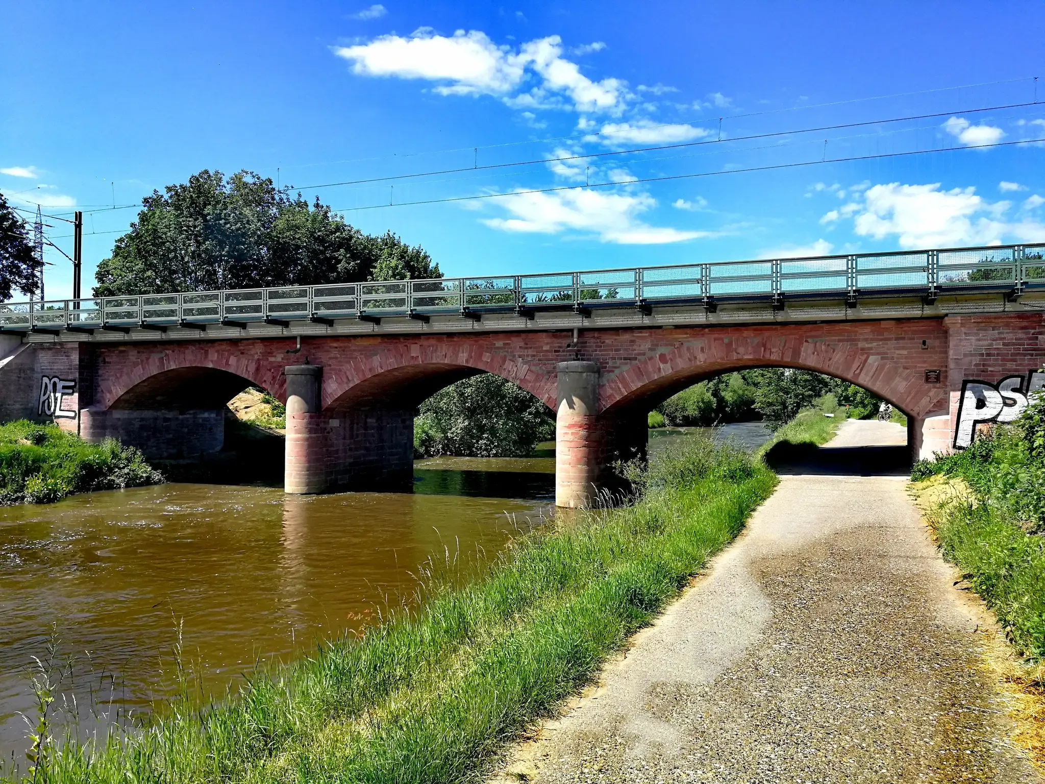
フランクフルトの門前にある自然を通り抜ける-ニッダ自転車道
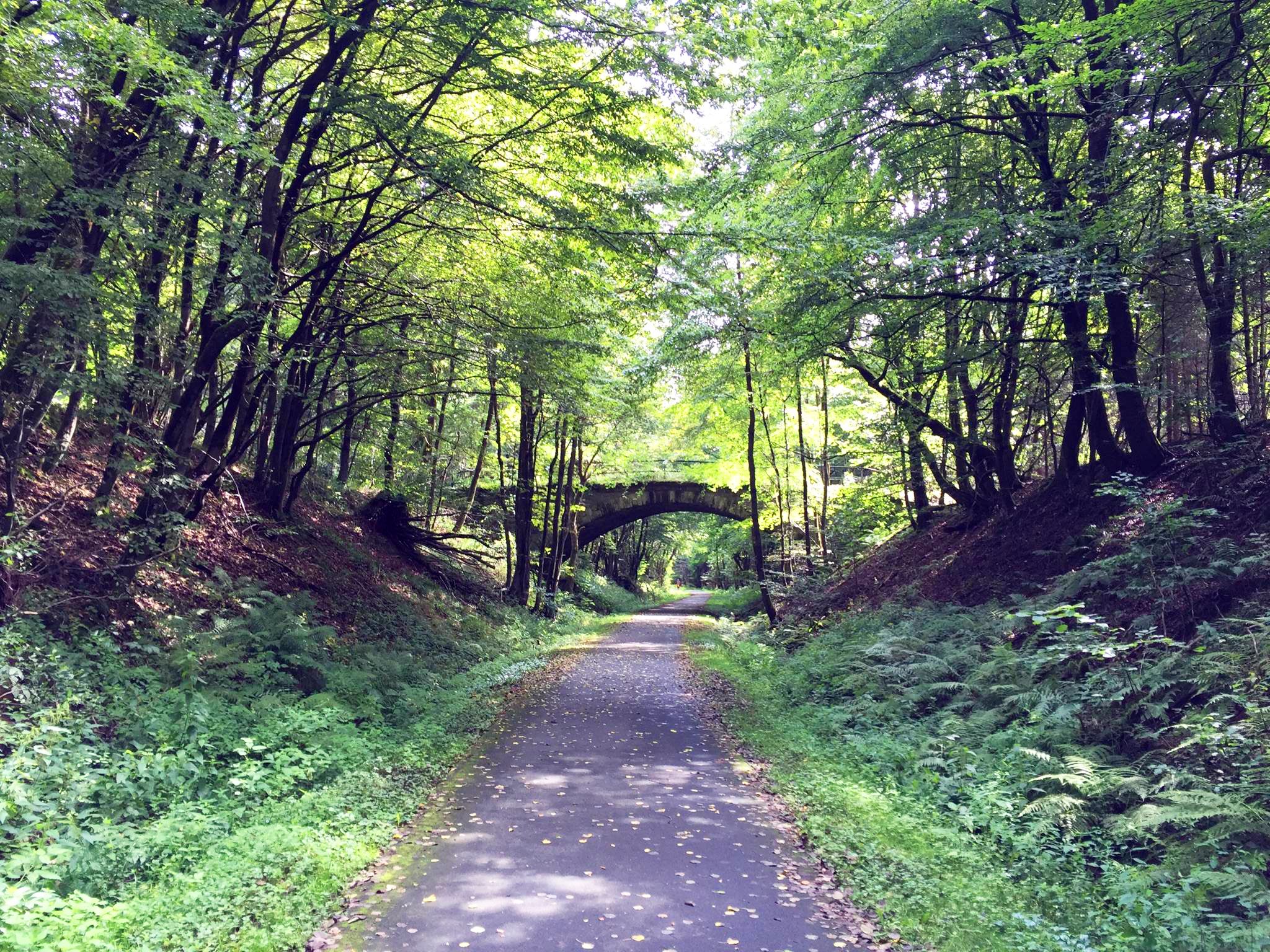
ドイツの火山サイクルパス — フォーゲルスベルクからヴェッテラウ地方
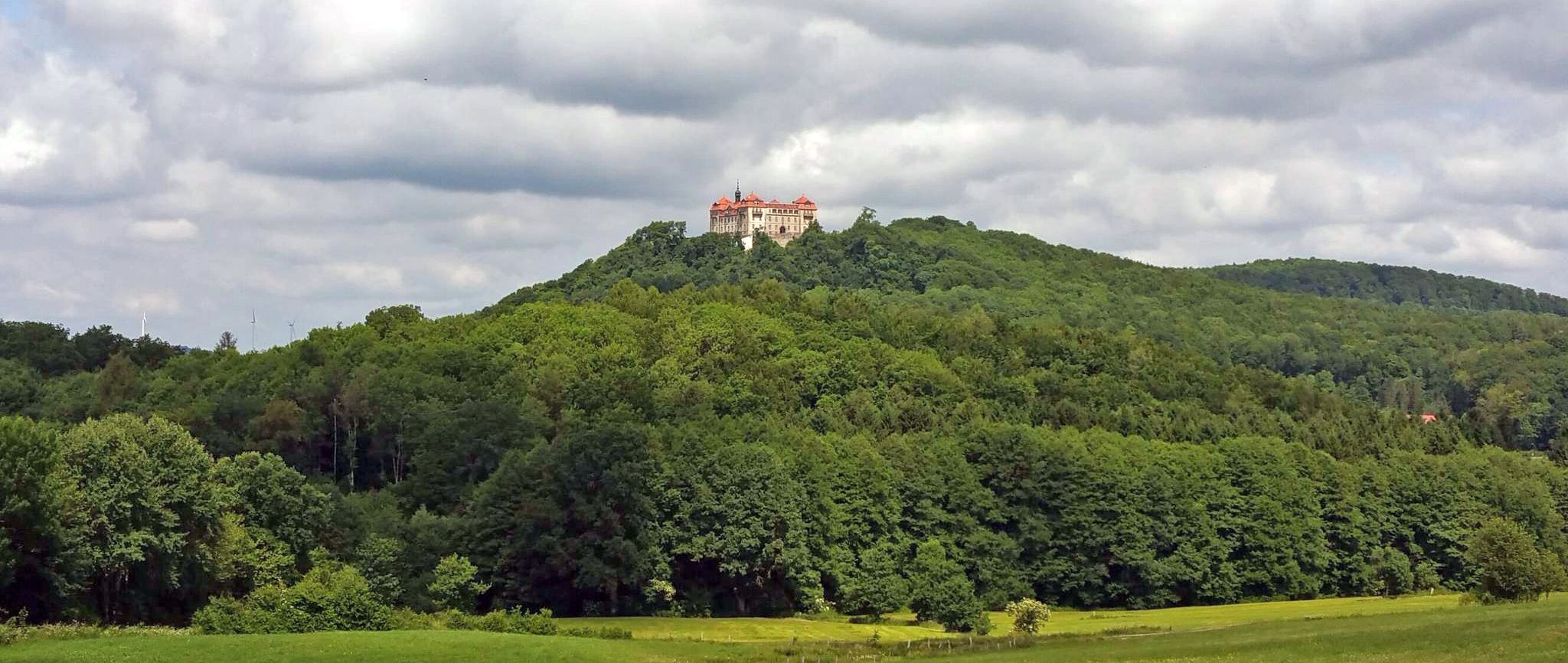
BahnRadweg Hessen — 城、宮殿と美しい自然
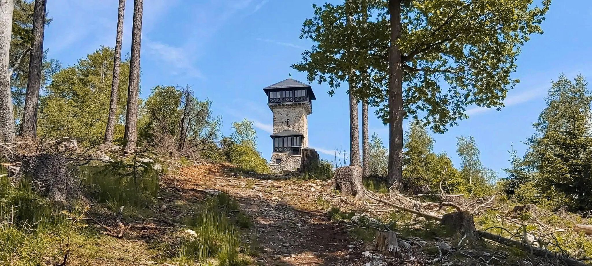
Autumn views: to the most beautiful vantage points in the RMV area

ヘッセンの国立自然景観
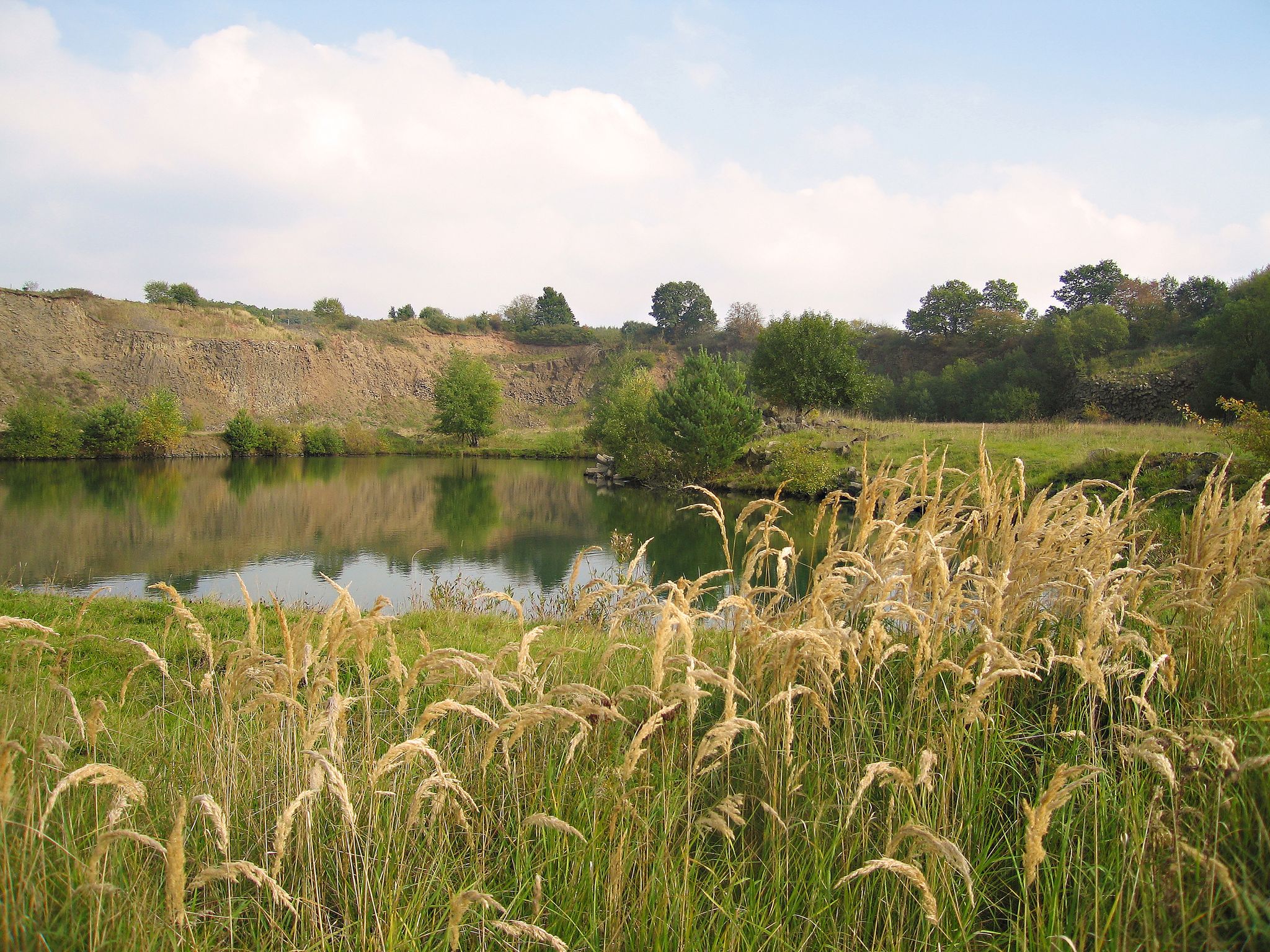
Geotours in the Vogelsberg Volcanic Region
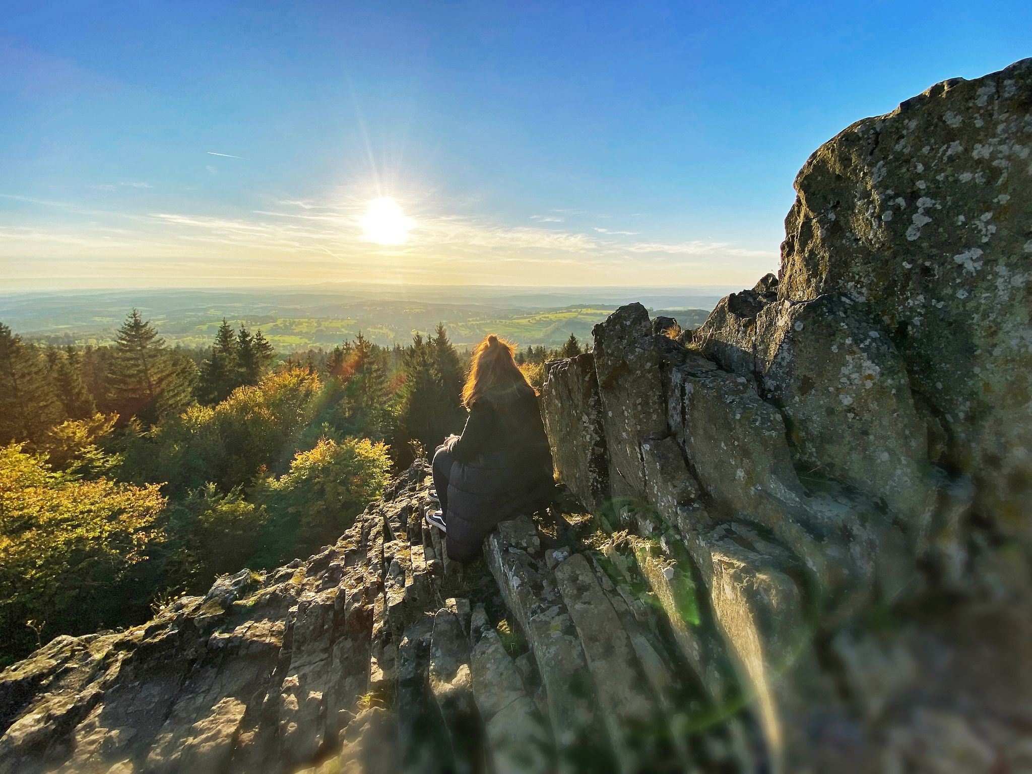
Where trails give you strength: Your hiking getaway in Vogelsberg
Winter adventures by public transport – hikes for the whole family

Varied winter hikes in Germany’s Rhine-Main region
ボニファティウスルートでマインツからフルダへ
フォーゲルスベルククライスでのの他の冒険


コミュニティからのヒント

As long as the Bismarck Tower on the Taufstein remains closed, there's not much more to see from there. Otherwise, in my humble opinion, the highest point of the Sieben Ahorn isn't where the sign is.
0
0

Nice little place that offers a fantastic view… if the weather plays along
9
0
This is where the bear rages, this is where capital lives… it just has to be
16
0
From the looks of things, the tower seems to have been left to its own devices... if something doesn't happen soon, it will be demolished... which would be a real shame
15
0
Fantastic view from up here… but whether it will be enough for Frankfurt is up to the weather forecasters
11
0
One of the more recent volcanic eruptions… now a “hidden block dump”
15
0

The Gackerstein geotope near Schotten was created when magma rose and broke through existing rock units. The volcano that once belonged to it no longer exists. The forces of erosion have eroded it to such an extent that only the vent filling remains, which today appears as a dome. The Gackerstein is part of a larger fracture structure that made it possible for the magma to rise through the earth's crust. This structure runs from north to south, so that magma also reached the earth's surface elsewhere, for example the Bilstein near Schotten to the south and the Ulrichstein castle hill.
14
0

At 763.8 m high, the Hoherodskopf is the second highest mountain in the Vogelsberg. It offers a good panoramic view of the surrounding area as far as the Rhine-Main area and the Taunus. Hiking trails run through the Hoherodskopf, including the European long-distance hiking trail E3. At the foot of the telecommunications tower, the Hoherodskopf information center of the Vogelsberg Volcanic Region Geopark is showing a nature experience exhibition on the topics of geology, water, forest, raised moor and mountain hay meadows. There is a tourist information office attached. The Hoherodskopf Geopath and the Höhenrundweg begin at the information center. The Geopfpad explains the 7 km route to Hochwaldhausen and takes you back into the history of the earth with stones and rocks along the way. The 7 km long circular route connects the most important sights and most striking points in a two-hour hike, including the baptismal font with Bismarck tower, high moor, the Geiselstein, whose magnetic rock deflects compass needles, Breungeshainer Heide, Nidda spring, trout ponds and back to the starting point. There are also exciting activities waiting for visitors: the treetop path, which runs up to 15 m above the ground, the climbing forest with ten different courses, a mini golf course, mountain bike trails as well as a summer toboggan run, cross-country ski trails and ski runs in winter. The 1.2 km long ski lift on the Breungeshainer slope is Hesse's. There are also restaurants, a café and a youth hostel. https://maps.adac.de/poi/hoherodskopf-schotten
5
0
フォーゲルスベルククライスでのの人気ルート
フォーゲルスベルククライスでのの人気観光スポット

komootモバイルアプリでインスピレーションを得よう


探していたものは見つかりませんでしたか?
フォーゲルスベルククライスの最高の山や頂上を地域ごとに発見しましょう:
さらに探索
これらのガイドでさらに素晴らしい頂上を見てみましょうフォーゲルスベルククライスでの:
