アルタンのおすすめ登山&山歩きルート
4.3
(3)
13
ハイカー
4
ハイキング
タン-ゲブビレルの山々をもっと探索しませんか?このガイドでご紹介するのは、komootがアルタンでの登山&山歩きのコレクション全体を評価して選び抜いた、このエリアの人気ルートです。あなたに合ったルートを見つけるには、他のユーザーがアップロードした役立つ情報や写真を閲覧し、クリック操作で簡単に表示できる詳細なデータを参考にしましょう。アルタンでの次の冒険にぴったりの登山&山歩きルートが見つかるはずです。
最終更新日: 9月 15, 2026
4
ハイカー
15.5km
04:57
640m
640m
中程度の登山ルート. ある程度のフィットネスレベルが必要です。 進みやすいルートです。あらゆるスキルレベルに適しています。
5.0
(1)
2
ハイカー
4.10km
01:32
180m
180m
中程度の登山ルート. あらゆるフィットネスレベルに適しています。 全般的に進みやすいルートです。安定して歩行できる技術が必要です。

4
ハイカー
26.8km
08:45
1,200m
1,200m
難しい登山ルート. 標準以上のフィットネスレベルが必要です。 進みやすいルートです。あらゆるスキルレベルに適しています。
5.0
(1)
1
ハイカー
15.1km
05:12
820m
820m
難しい登山ルート. 標準以上のフィットネスレベルが必要です。 進みやすいルートです。あらゆるスキルレベルに適しています。
3.0
(1)
2
ハイカー
12.9km
04:04
490m
490m
中程度の登山ルート. ある程度のフィットネスレベルが必要です。 進みやすいルートです。あらゆるスキルレベルに適しています。
おすすめのツアーは他のkomootユーザーが実際に経験した何千ものアクティビティに基づいています。
無料アカウントで今日から始めよう
次の冒険が待っています。

コミュニティからのヒント

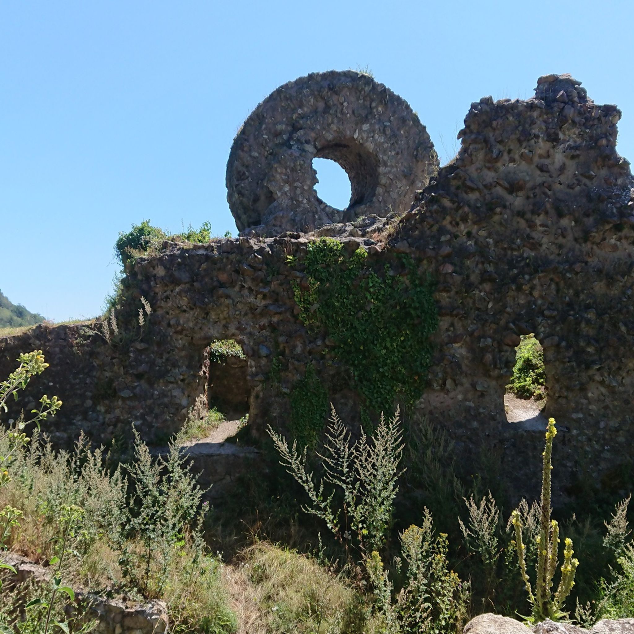
1960年から1995年までGeishouseの教区長を務めたFernand Zumbiehlは、1962年から1989年までClub VosgienのSt-Amarin支部の会長を務めました。当時数百人の会員を擁していたこの支部は、アルザス地方で最も強力なものであり、司祭にとって重い負担であったに違いありません!
0
0


In nice weather a view of the Alps
0
0


The radar was designed as an architectural masterpiece by its designer, Claude Vasconi, and was built in 1997. Under the radome, visitors can access an orientation table offering superb views.
0
0

very beautiful view, you can sometimes see the Alps.
0
0


Vieil Armand, also known as Hartmannswillerkopf, is a striking mountain peak in the southern Vosges, near the Col Amic. This place is not only popular with cyclists because of the challenging climb and the panoramic view of the Rhine plain, but also an important historical monument. During the First World War, fierce fighting took place here between French and German troops, resulting in a static trench warfare. Today, the area is a national memorial with a crypt, military cemetery and well-preserved trenches. The climb to Vieil Armand via the Col Amic is not only sportingly rewarding, but also impressive because of the historical significance of the landscape.
6
0

komootモバイルアプリでインスピレーションを得よう


さらに探索
他の地域の最高の登山ハイキング & ルートを見てみましょう。
