ヴェルデンベルクの湖・トップ10
次の冒険でヴェルデンベルクの素晴らしい湖を訪れてみませんか?湖畔の穏やかな雰囲気や、天気が良い日のひと泳ぎは格別です。komootコミュニティがおすすめするヴェルデンベルクの素晴らしい湖の一覧を参考にして、次の冒険では湖をもっと満喫しましょう。
最終更新日: 8月 25, 2026
ザムティザー湖とアルプシュタイン山脈の眺め
ハイライト • 展望台
翻訳者 Google •
役立つ情報 は

Werdenbergの旧市街、城、湖
ハイライト • 歴史的な場所
Werdenberg is a town with historical town charter in the eastern Swiss canton of St. Gallen. The town of Werdenberg belongs to the municipality of …
翻訳者 Google •
役立つ情報 は

今すぐサインアップして、こんな場所を発見しよう
最高のシングルトラック、ピーク、その他のエキサイティングなアウトドアスポットのおすすめを受け取ろう。
無料新規登録
フォアアルプ湖
ハイライト • 湖
翻訳者 Google •
役立つ情報 は

Sämtierseeはカルスト湖です。
ハイライト • 湖
The picturesque Sämtisersee is located above Brülisau in the municipality of Rüte in the canton of Appenzell Innerrhoden. The Appenzell mountain lake is located at …
翻訳者 Google •
役立つ情報 は
フォーラルプ山小屋&フォーラルプ湖
ハイライト • 山小屋
Thomas Gritsch and his team are available during the opening hours listed below and look forward to pampering you with genuine Tyrolean hospitality.
翻訳者 Google •
役立つ情報 は
アルヴィア山脈の眺め
ハイライト • 展望台
翻訳者 Google •
役立つ情報 は

ヴェルデンベルガー湖
ハイライト • 湖
翻訳者 Google •
役立つ情報 は
アフリカ自然保護区
ハイライト • 自然記念物
翻訳者 Google •
役立つ情報 は

カイゼリロッホ湖
ハイライト • 湖
翻訳者 Google •
役立つ情報 は

シャナー・リート・ゼーリ
ハイライト • 湖
翻訳者 Google •
役立つ情報 は
無料アカウントで今日から始めよう
次の冒険が待っています。
ログインまたは登録
ヴェルデンベルク周辺で人気
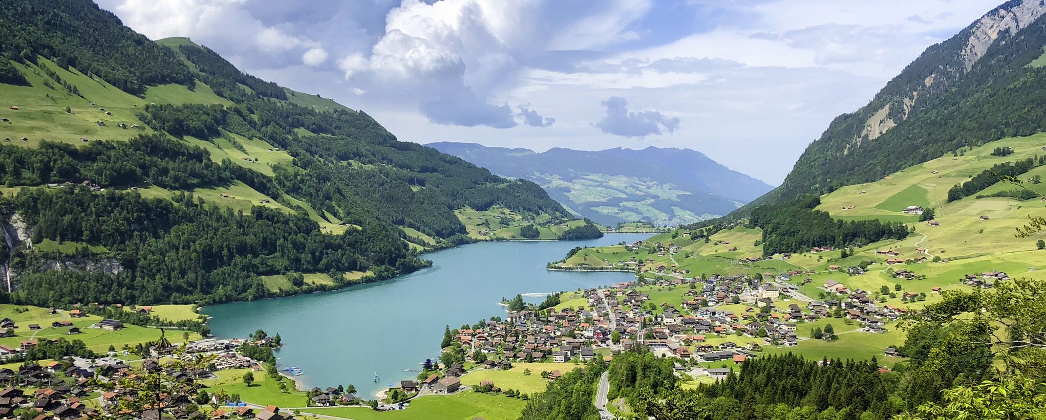
スイスアルプス前山地の画集のような景色 – レイクスルート

ライン自転車道は源流から北海まで

Lake and Alps Adventure – explore 100 dreamy places in our cycling region!
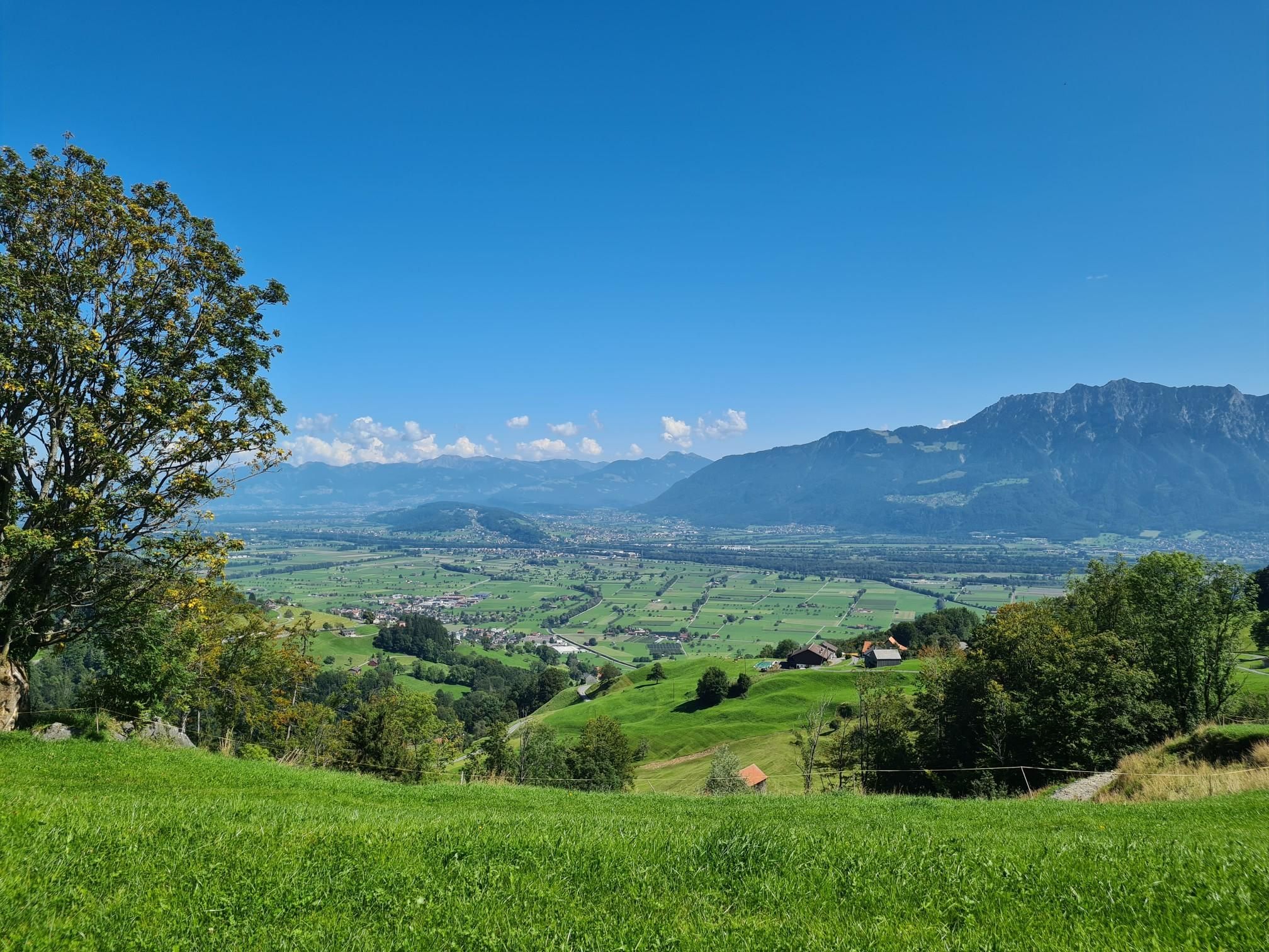
北東スイスを自転車で旅する – ツールルート
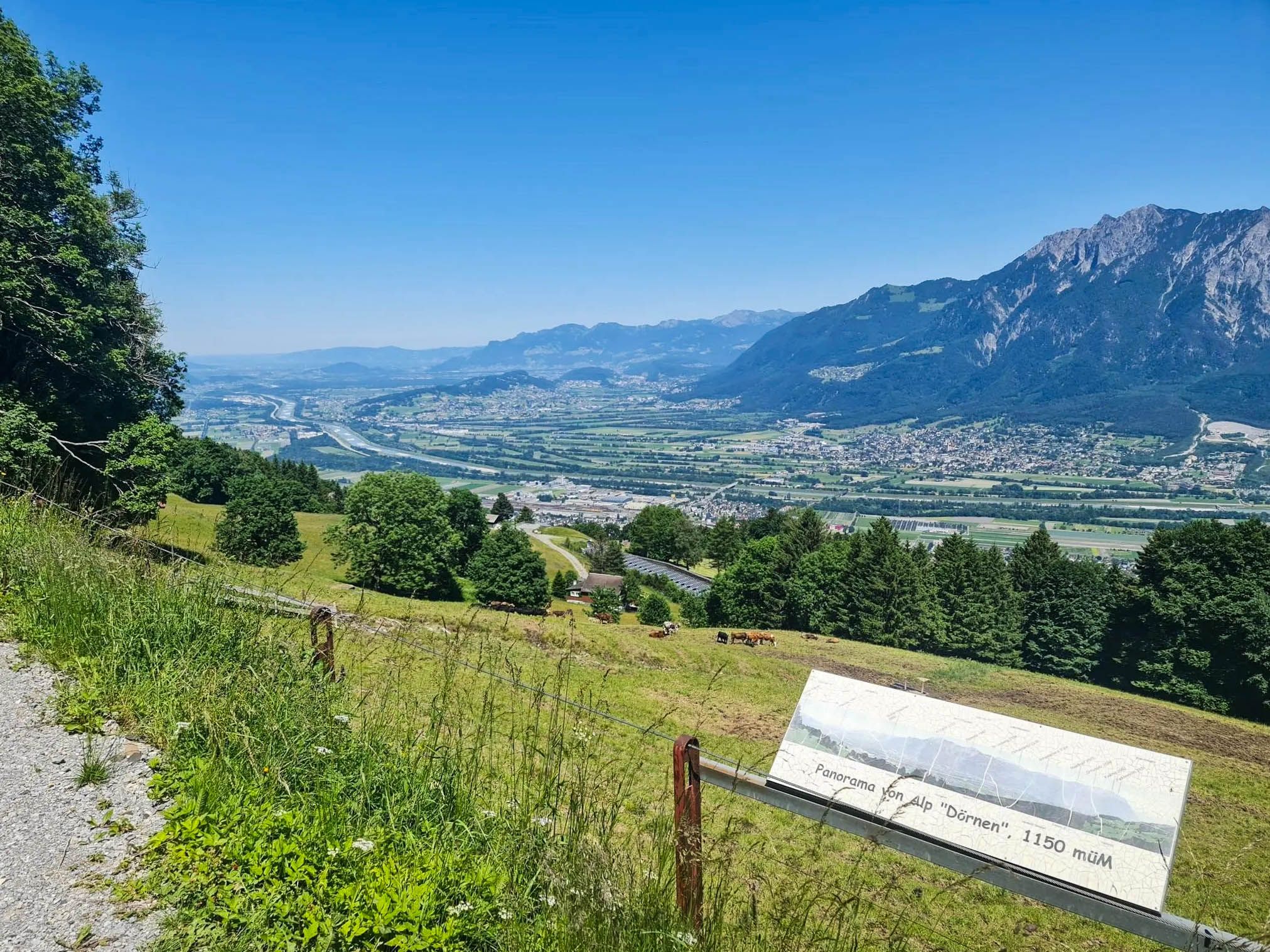
カスラルス, ウン, 三国西話 - Rhine Valley Highlight
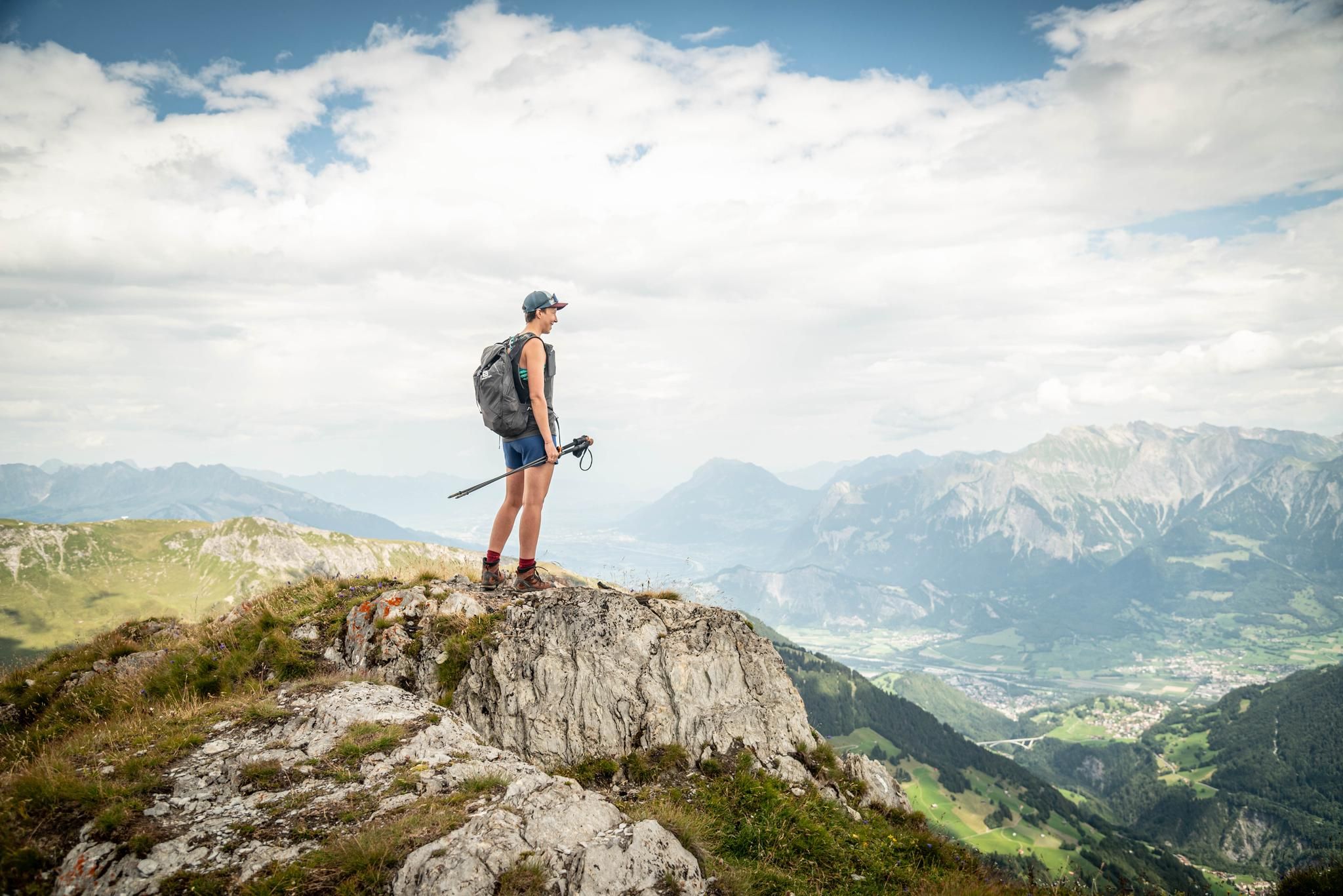
Peak bagging hikes in Heidiland
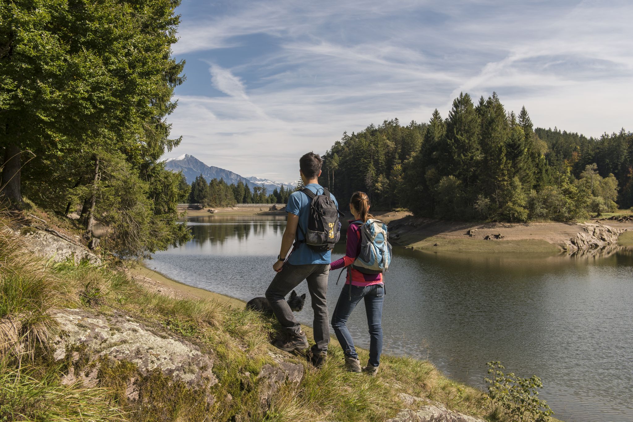
Summer in Eastern Switzerland – 10 hikes in Heidiland
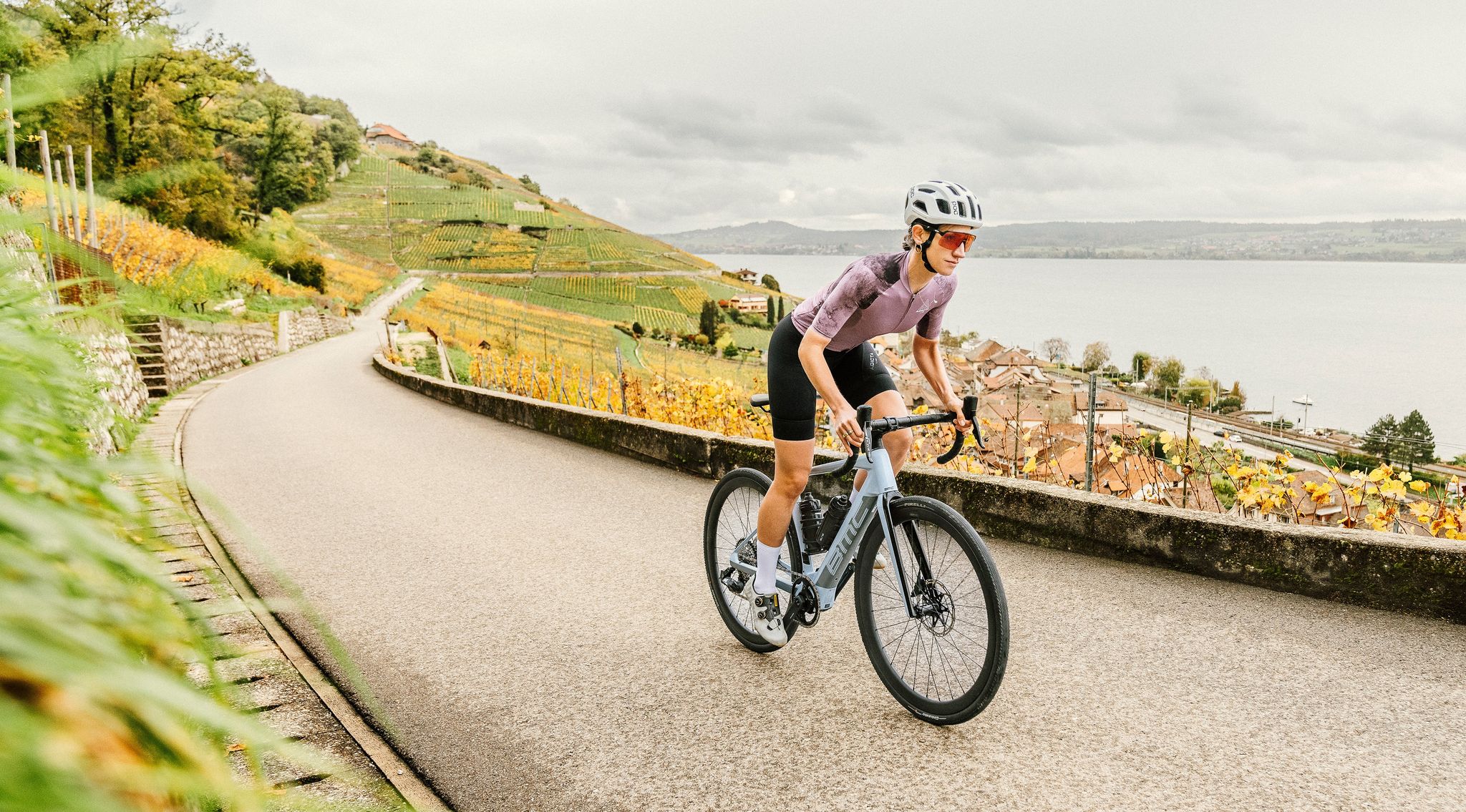
100% Women: on smooth asphalt above the clouds

Blue lakes, wide panoramas & autumnal splendour – hiking in Heidiland
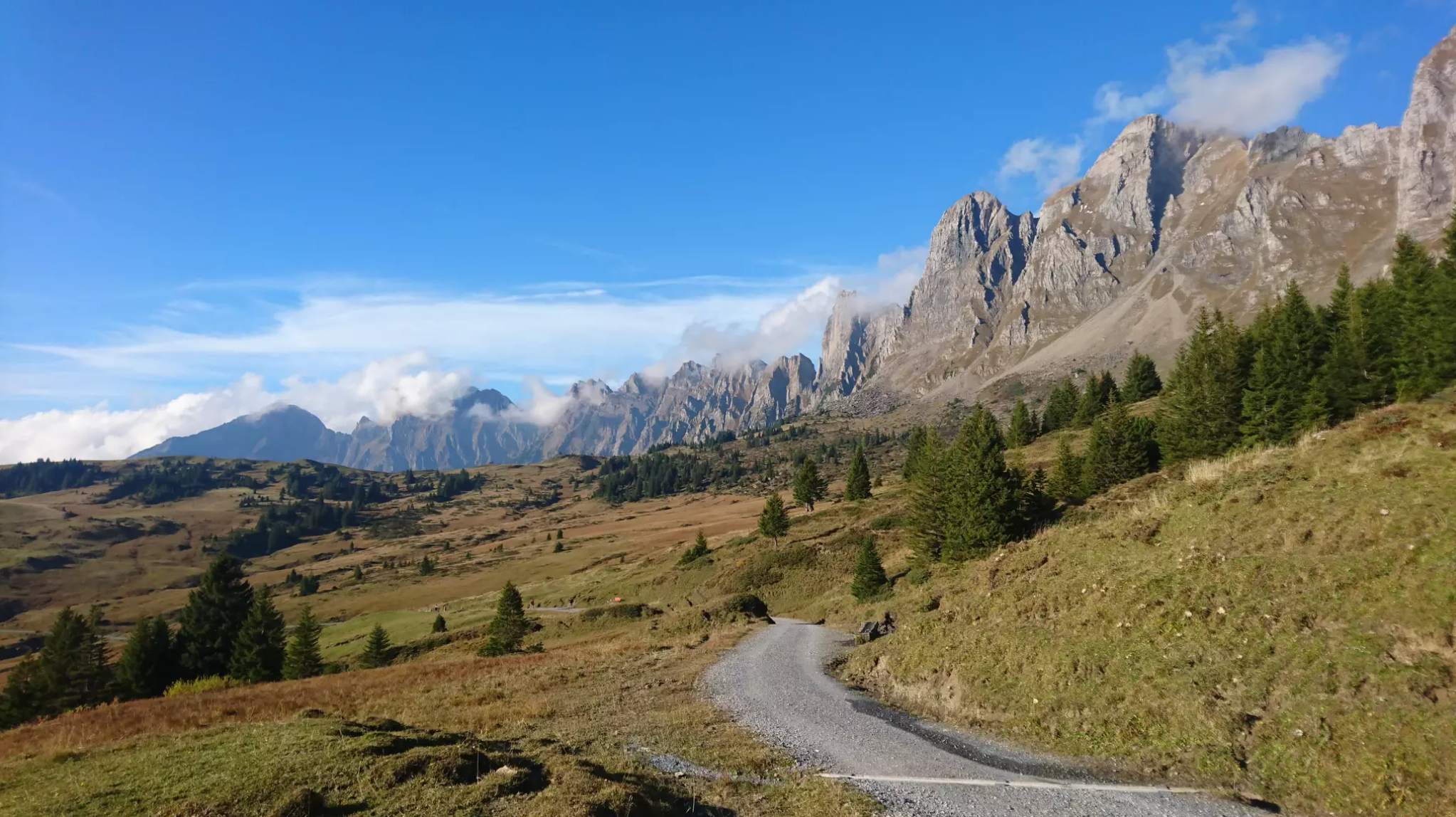
Wonderful panoramic bike tours over Lake Walensee
ヴェルデンベルクでのの他の冒険


コミュニティからのヒント

車でそこまで行くことができます。それが良いか悪いかは、見る人次第です。
0
0

Mega view, all along the ridge
0
0

A very beautiful high plateau with a breathtaking panorama. The ascent via the road from the Rhine Valley is a struggle, especially on weekends when the road is also used by many motorists. The descent towards Wahlensee is very varied at the top, but due to the steep terrain, it then mostly leads along paved roads.
0
0

Description: A relatively easy trail with a few sections that require caution, both during the ascent and the descent. It’s a nice route for those who enjoy moderate hiking without technical difficulties, but attention is needed in some steeper or uneven parts. Ideal for a short adventure close to nature. Why I recommend it: This route is perfect for beginners or casual hikers who want a bit of challenge without being overwhelmed. The views are rewarding, and the trail offers a nice balance between ease and small moments of focus.
0
0

There is also a good information board there and perhaps a view of the lake.
0
0

The popular Voralp mountain inn is owned by the municipality of Grabs. Thomas Gritsch and his team are available during the opening hours listed below and look forward to pampering you with genuine Tyrolean hospitality. Opening Hours Monday to Sunday from 9:30 a.m. to 9:30 p.m. Kitchen open continuously from 11:30 a.m. to 8:30 p.m. Closed on Wednesdays Source: https://voralp.ch/
9
0
The idyllic Voralpsee is located at 1,123 meters above sea level in Grabs in the canton of St. Gallen. Nestled in a hollow on the Grabserberg, amidst alpine meadows and forests, this natural lake is located between the Alvier region and the Churfirsten mountains. At just under 550 meters long and 250 meters wide, the Voralpsee is rather elongated. Its depth is up to 12 meters. The Voralpsee can be comfortably circumnavigated on a beautiful walking path. Due to its easy accessibility, the lake has become a popular destination for many lake lovers: hikers, walkers, barbecue-loving families, bikers, and mountain lake swimmers visit the lake in large numbers during the warmer months. In the summer months, swimming in the Voralpsee offers the necessary refreshment. Source: https://www.grabs.ch/freizeitattraktivestellen/6113
9
0
Just walk up and see for yourself...
7
2
ヴェルデンベルクでのの人気ルート

komootモバイルアプリでインスピレーションを得よう


さらに探索
まだ完璧な湖が見つかりませんかヴェルデンベルクでの?これらの地域のガイドをチェックして、さらに美しい場所を見てみましょう。
