エリングの峠・トップ18
風景を楽しんだり、上りや下りを満喫したり、峠には楽しみ方がたくさんあります。エリングの素晴らしい峠の一覧を参照して、思い出に残るアドベンチャーに出かけましょう。コミュニティのメンバーがコミュニティのために投稿した峠のハイライトは、他のユーザーが実際におすすめする情報なので、どれも信頼できるものです。気に入った峠にさっそく向かってみましょう。
最終更新日: 9月 16, 2026
コル・デュ・ラウィル(2,425m)
ハイライト • 山道
翻訳者 Google •
役立つ情報 は

Col de Torrent
ハイライト • 山道
翻訳者 Google •
役立つ情報 は

今すぐサインアップして、こんな場所を発見しよう
最高のシングルトラック、ピーク、その他のエキサイティングなアウトドアスポットのおすすめを受け取ろう。
パ・ド・シェーヴルのはしごと歩道
ハイライト • 登山
翻訳者 Google •
役立つ情報 は

コル・デ・ルー
ハイライト • 山道
翻訳者 Google •
役立つ情報 は

パ・ド・ロナ
ハイライト • 山道
翻訳者 Google •
役立つ情報 は

コル・ド・リードマッテン
ハイライト • 山道
翻訳者 Google •
役立つ情報 は

コル・ド・プラフルリ
ハイライト • 山道
翻訳者 Google •
役立つ情報 は

セク・ルージュ山頂(アンゼール)
ハイライト • 山頂
翻訳者 Google •
役立つ情報 は

ツァテ峠
ハイライト • 山道
翻訳者 Google •
役立つ情報 は

無料アカウントで今日から始めよう
次の冒険が待っています。
エリング周辺で人気
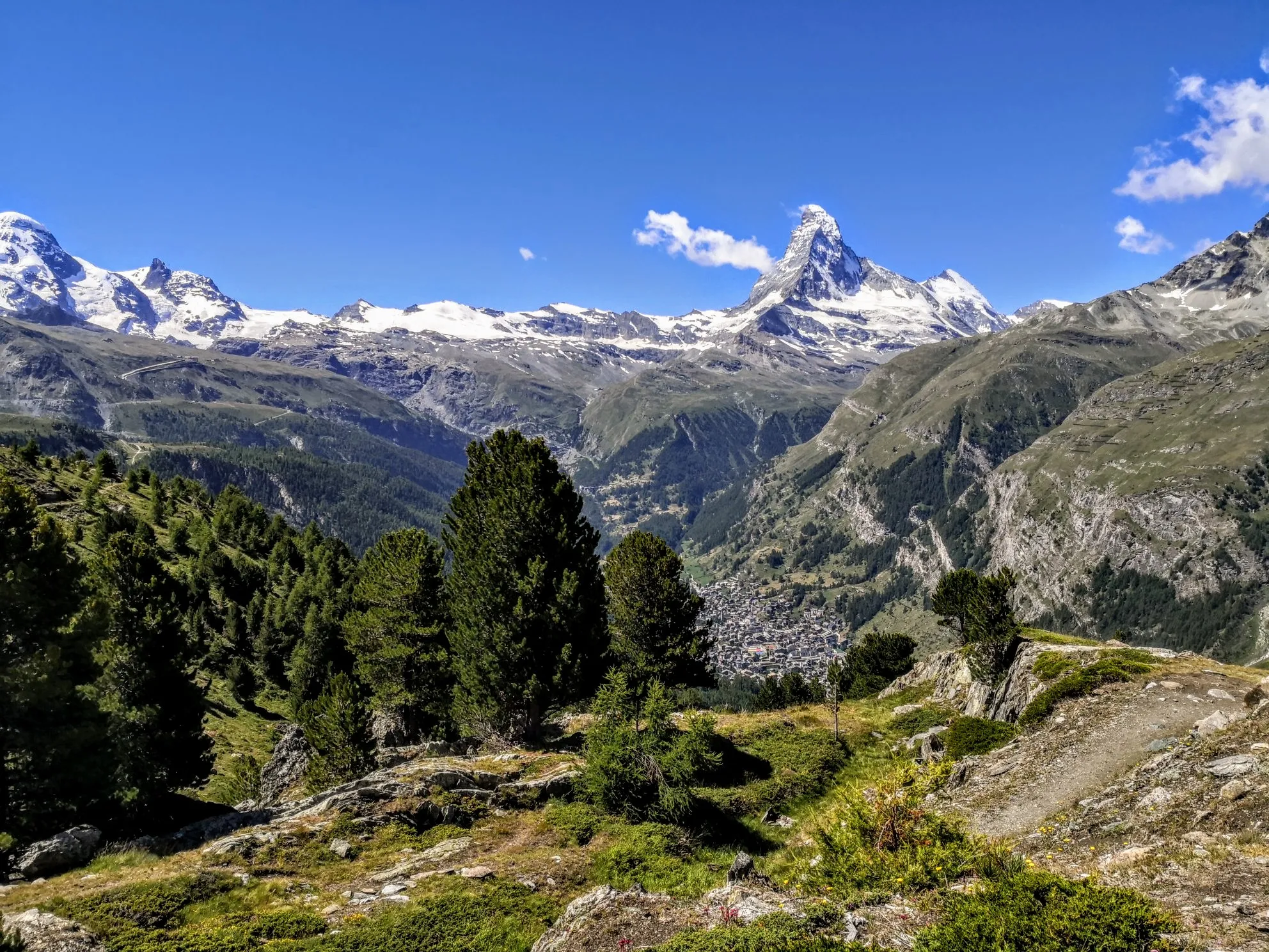
究極のアルパイン・アドベンチャー - ウォーカーズ・オート・ルート

Alpine Passes Trail - サウファーシラールトリアルド 700km インスラールト

リスボンへの道 – アルプス、ピレネース、ピコス・デ・エウロパをバイクパッキング

純粋な山の楽しみの34ステージ - スイスのアルプス山峠トレイルでハイキング
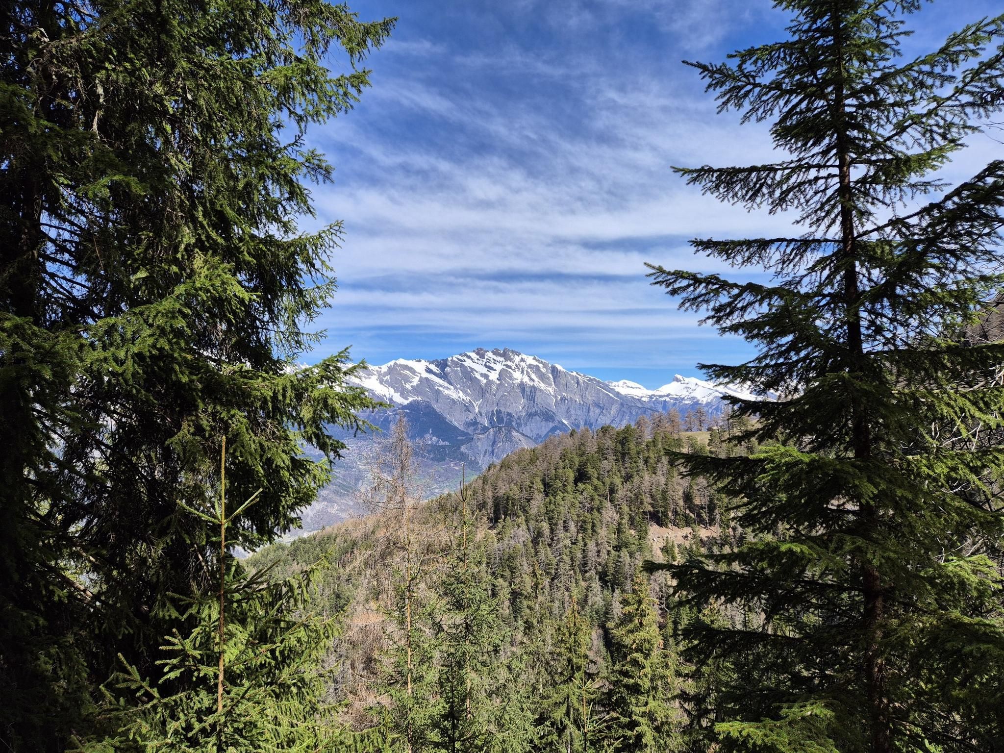
ヴァレー州の聖なる水 - ル・シュマン・デ・ビッス(Le Chemin des Bisses
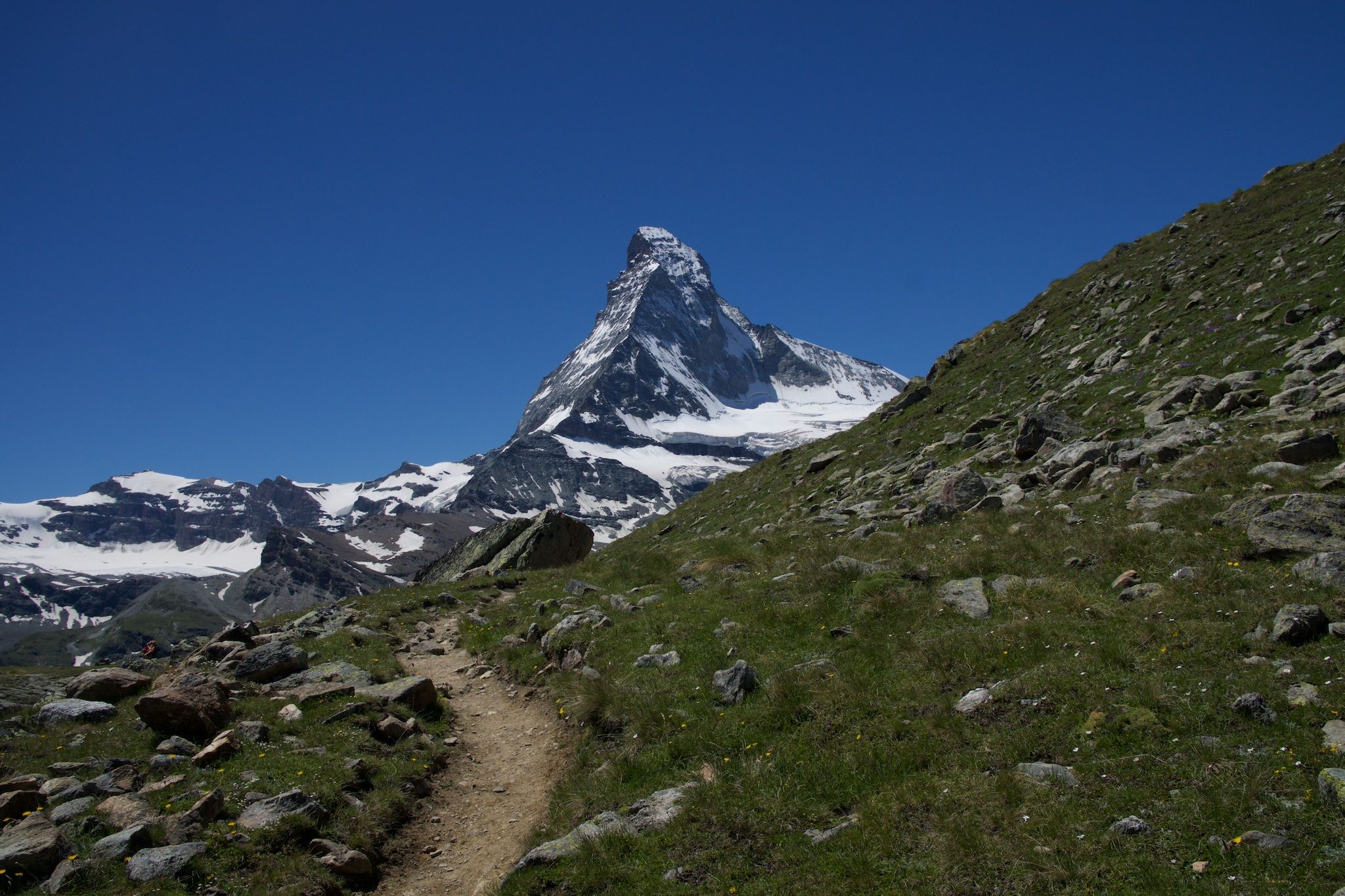
アルプスの貴族の岩 - Cervino Matterhorn Ultra Race
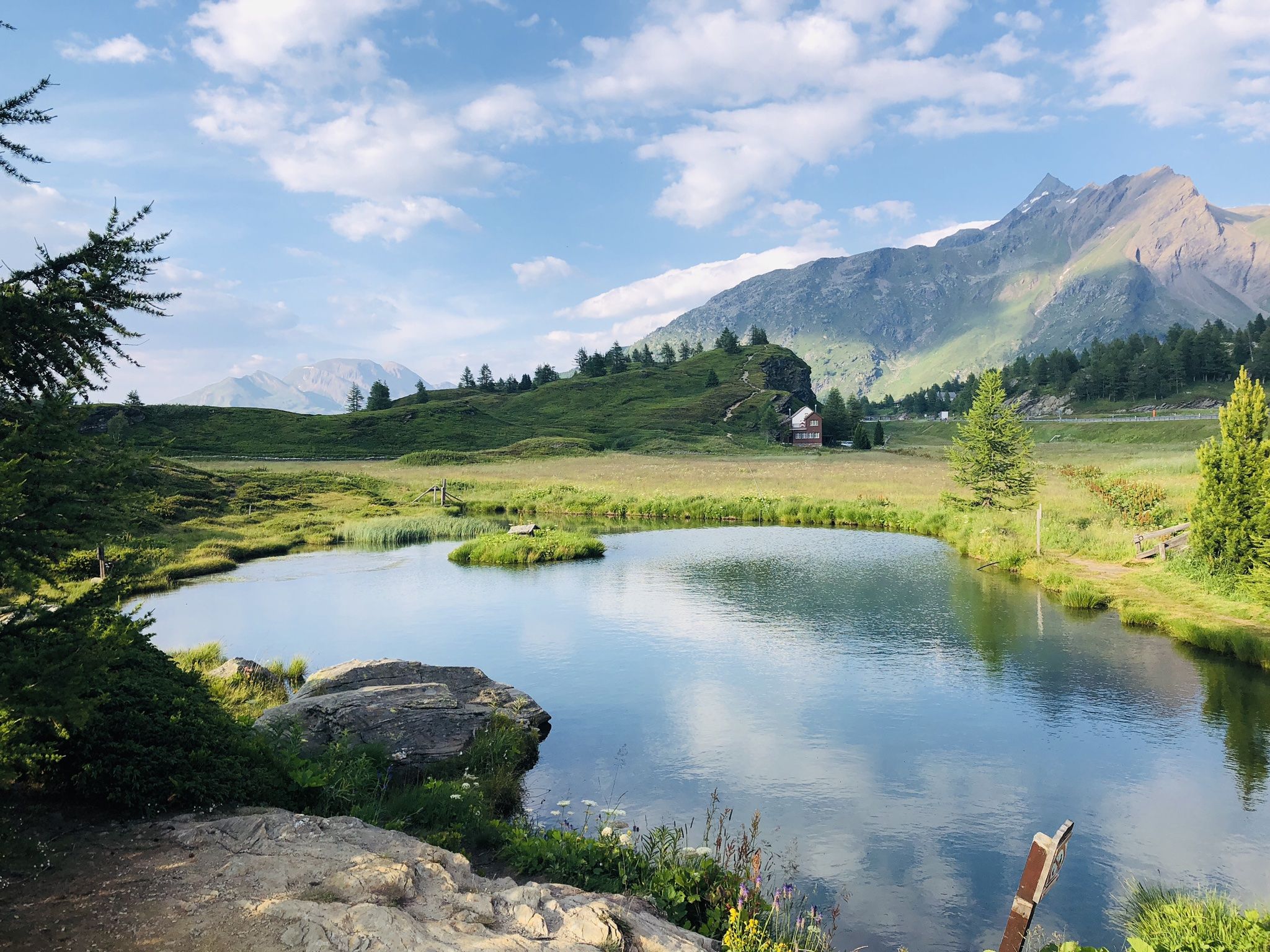
The closest place to the sun in Switzerland – multiday Tours in Valais
Passes, lakes and alpine huts in Switzerland – discover the Valais
情熱をもって走る - シャモニーからツェルマットのオートルート
High altitude hikes in Vallois – Blogger Hike Challenge 2019
エリングでのの他の冒険


コミュニティからのヒント


The Col des Roux is located at 2,803 meters between the rocky Roux mountain range and Mont Blava. It connects the Prafleuri valley and the Val des Dix.
0
0

On the Dix side there is a steep transition secured with chains.
1
0

The ladders are closed due to rockfall at the base of the ladders and cracks in the rockface around the ladders. The alternative is to go over Riedmatten.
6
0

After my retirement, I had a lot of free time, but the feeling of loneliness also grew stronger. Friends were gone, and children were busy with their families. I stumbled upon the website https://www.flirtyon.com/ by chance and was eager to try it out. Adults and understanding people communicate here. I found a good conversation partner with whom I enjoyed drinking tea and having an open conversation.
0
1

The elevation profile of this climb from Sion to the small holiday home settlement of Arolla is somewhat deceptive. While the gradient is modest, at almost 40 kilometers in length and over 1,600 meters in elevation, this climb is quite challenging! The scenery is rich, but the most famous highlight is probably the Pyramids of Euseigne. Whether it would have been possible to build the road directly beneath the rock formations is up to you to decide.
0
0

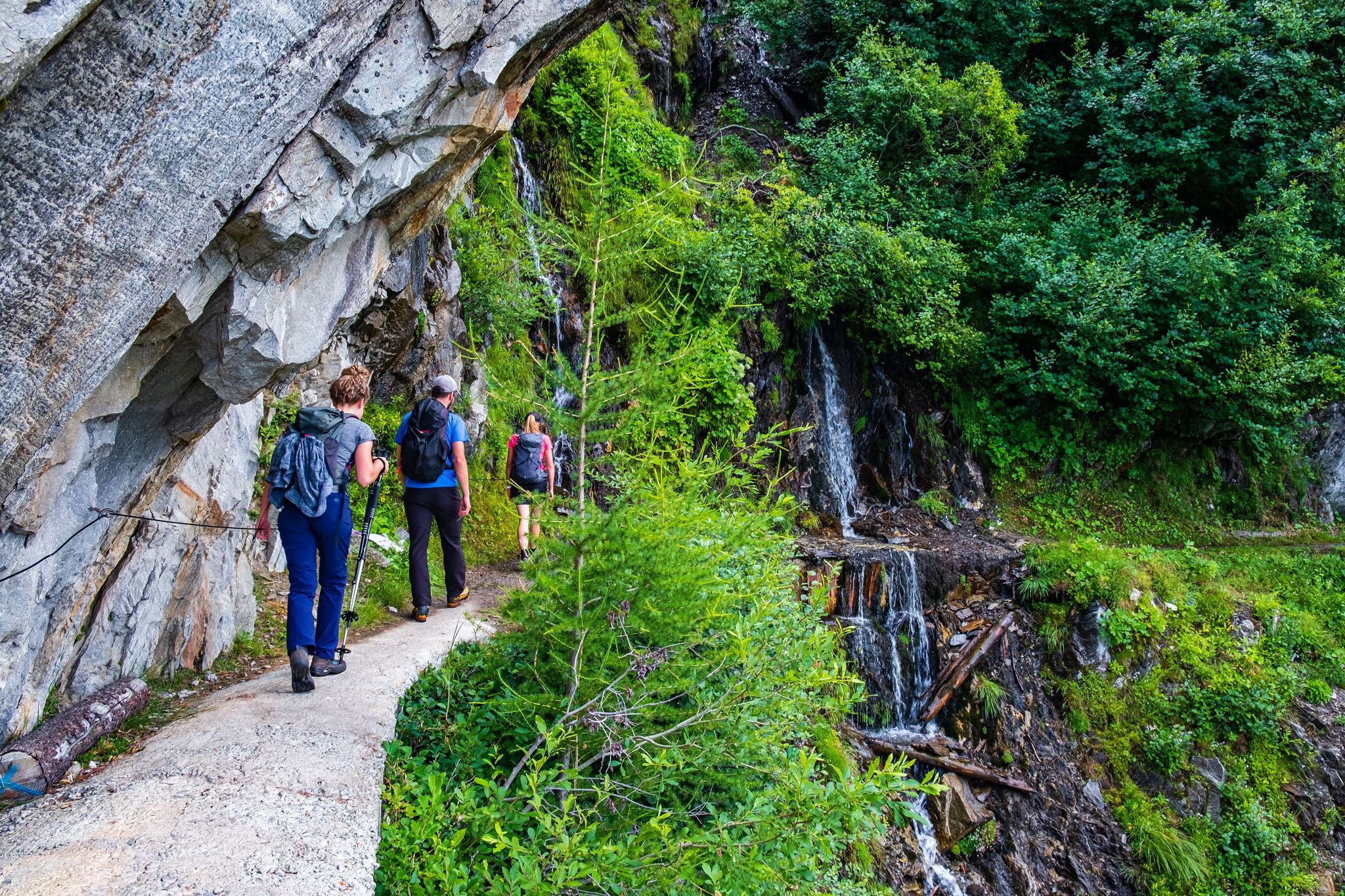
From the Iffigenalp, a hiking trail leads through the forest and then along paths blasted into the rock to the pass. Together with the many waterfalls and the plateau, I found this pass to be magnificent.
0
0
The hike from Lac de Moiry to Col de Torrent is great and the descent to Evolène is largely rideable. Top tip!
0
0

komootモバイルアプリでインスピレーションを得よう


さらに探索
これらのガイドでさらに壮大な山道を見てみましょうエリングでの:
