フォルコラのおすすめ登山&山歩きルート
4.3
(5)
50
ハイカー
2
ハイキング
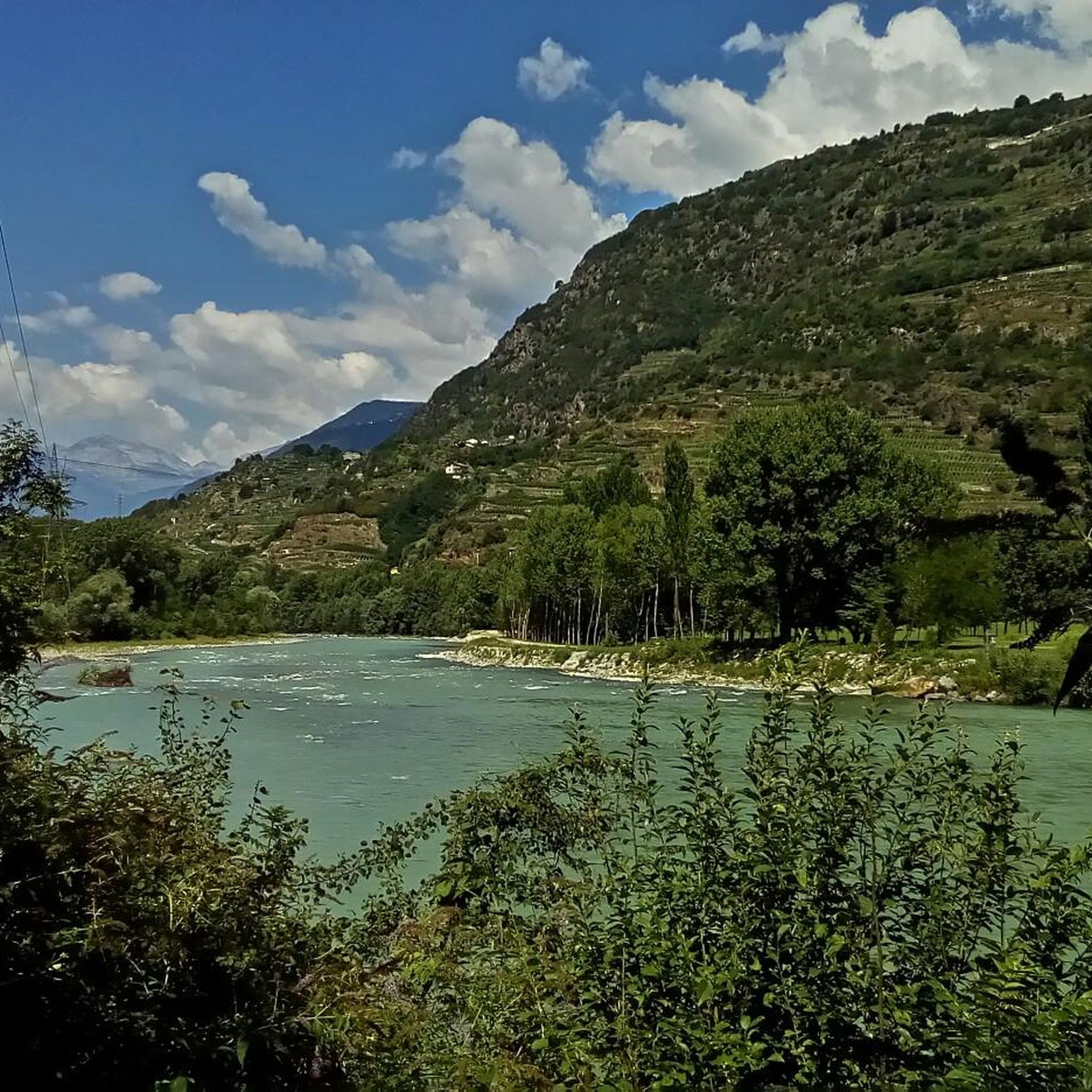
ソンドリオの山々をもっと探索しませんか?このガイドでご紹介するのは、komootがフォルコラでの登山&山歩きのコレクション全体を評価して選び抜いた、このエリアの人気ルートです。あなたに合ったルートを見つけるには、他のユーザーがアップロードした役立つ情報や写真を閲覧し、クリック操作で簡単に表示できる詳細なデータを参考にしましょう。フォルコラでの次の冒険にぴったりの登山&山歩きルートが見つかるはずです。
最終更新日: 11月 8, 2026
5.0
(2)
27
ハイカー
16.3km
11:41
1,590m
1,590m
難しい登山ルート. 標準以上のフィットネスレベルが必要です。 安定して歩行できる技術、丈夫な靴、高標高地での登山経験が必要です。
13
ハイカー
8.92km
03:57
610m
610m
難しい登山ルート. ある程度のフィットネスレベルが必要です。 安定して歩行できる技術、丈夫な靴、高標高地での登山経験が必要です。

3.7
(3)
10
ハイカー
6.96km
02:04
170m
170m
中程度の登山ルート. ある程度のフィットネスレベルが必要です。 ほとんどが歩ける道です。足元への注意が必要です。
おすすめのツアーは他のkomootユーザーが実際に経験した何千ものアクティビティに基づいています。
無料アカウントで今日から始めよう
次の冒険が待っています。
コミュニティからのヒント

Rifugio Luna Nascente https://youtu.be/HAschMaAGKg
5
1

Iconic mountain of Valtellina, majestic and beautiful!
3
0
Beautiful route of about 600 meters of positive difference in altitude between the 1950 meters of the Piana di Preda Rossa up to the 2560 meters of the Rifugio Cesare Ponti. The high mountain environment is enriched by the beauty of the Preda Rossa valley, by its milky and slow torrent, by the frame of the Corni Bruciati, up to the majestic mass of the Disgrazia, which dominates and watches over the path. An enchanting place!
3
0
Legendary refuge at the foot of Mount Disgrazia. It is located along the Roma trail and is a passage point of the Kima Trophy. In short, an exceptional place for mountain lovers.
3
0
Looking out over the Piana di Preda Rossa for the first time is an experience you never forget: a place that goes beyond normal daily experience and therefore enchants and requires time to be understood. The overhanging mass of Monte Disgrazia makes the scene simply perfect.
2
0
An epic break during the long normal route of Disgrazia. It is here that you emerge onto the ridge profile and can admire the spectacle of the north face and the view of Valmalenco, up to the Bernina. Unforgettable
3
0

The Torrente Mello is the main watercourse that crosses the Val di Mello, one of the most suggestive valleys of Valtellina. This torrent originates from Monte Disgrazia and flows along the entire valley, fed by numerous streams and natural springs from the surrounding mountains. The Torrente Mello is characterized by crystalline waters that flow between the imposing granite rocks and the lush vegetation, creating natural scenery of rare beauty. Along its course, the torrent feeds several lakes, such as the Laghetto del Qualido, and also feeds numerous waterfalls and pools, which make the valley even more fascinating and appreciated by hikers. The path of the Torrente Mello is clearly visible along the paths that start from the village of San Martino, which is the main starting point for exploring the valley. The path that follows the course of the torrent allows you to enjoy spectacular views of the surrounding nature and access places of great naturalistic interest, making it an ideal destination for lovers of trekking and photography.
0
0
Rifugio Mello is located in the beautiful Val di Mello, one of the most well-known and appreciated valleys of Valtellina, famous for its breathtaking landscapes, imposing mountains and its crystalline lakes. The refuge is located at about 1,350 meters above sea level and is a point of reference for hikers who visit the area. Rifugio Mello is easily accessible thanks to the paths that start from the village of San Martino, in the heart of Val di Mello. The route to reach the refuge is suitable for hikers of all levels, with a walk that lasts about 1.5-2 hours, crossing larch and fir forests, offering spectacular panoramic views of the valley and the surrounding mountains. Once arrived, the refuge offers a welcoming rest area, where hikers can refresh themselves with typical Valtellina dishes, such as pizzoccheri, sciatt and local cheeses, but also enjoy an incredible view of Val di Mello and the peaks that surround it, including Monte Disgrazia. Rifugio Mello is also a starting point for numerous hikes, including those leading to Laghetto del Qualido or Cascata della Val di Mello, as well as an ideal place for a quiet stop during a longer hike. It is recommended in all seasons, but especially in spring and autumn, when the landscape is particularly fascinating thanks to the colors of nature.
2
0

komootモバイルアプリでインスピレーションを得よう


さらに探索
他の地域の最高の登山ハイキング & ルートを見てみましょう。
