ザーネン周辺のおすすめ滝ハイキング&ウォーキング
4.6
(1262)
10,410
ハイカー
49
ハイキング
komootでは、ザーネンでのの自然の素晴らしさを紹介するため、このエリアでおすすめの滝ハイキング&ウォーキングを集めたリストを作成しました。連なる瀑布から穏やかな滝まで、ザーネンでので人気の高い滝ハイキングのルートをご覧ください。
最終更新日: 8月 31, 2026
4.8
(46)
351
ハイカー
8.46km
03:38
660m
660m
中程度のハイキング. ある程度のフィットネスレベルが必要です。 全般的に進みやすいルートです。安定して歩行できる技術が必要です。
4.7
(6)
195
ハイカー
9.45km
03:47
690m
690m
中程度のハイキング. ある程度のフィットネスレベルが必要です。 全般的に進みやすいルートです。安定して歩行できる技術が必要です。

無料新規登録
5.0
(2)
37
ハイカー
17.5km
08:52
1,610m
1,610m
難しいハイキング. 標準以上のフィットネスレベルが必要です。 安定して歩行できる技術、丈夫な靴、高標高地での登山経験が必要です。
4.6
(13)
58
ハイカー
7.36km
02:30
380m
380m
中程度のハイキング. ある程度のフィットネスレベルが必要です。 進みやすいルートです。あらゆるスキルレベルに適しています。
3.0
(1)
21
ハイカー
7.24km
02:30
380m
380m
中程度のハイキング. ある程度のフィットネスレベルが必要です。 進みやすいルートです。あらゆるスキルレベルに適しています。
さらに多くのルートや他のユーザーのおすすめ情報を確認できます。
無料新規登録
すでにアカウントをお持ちですか?
おすすめのツアーは他のkomootユーザーが実際に経験した何千ものアクティビティに基づいています。
無料アカウントで今日から始めよう
次の冒険が待っています。
ログインまたは登録
ザーネン周辺で人気
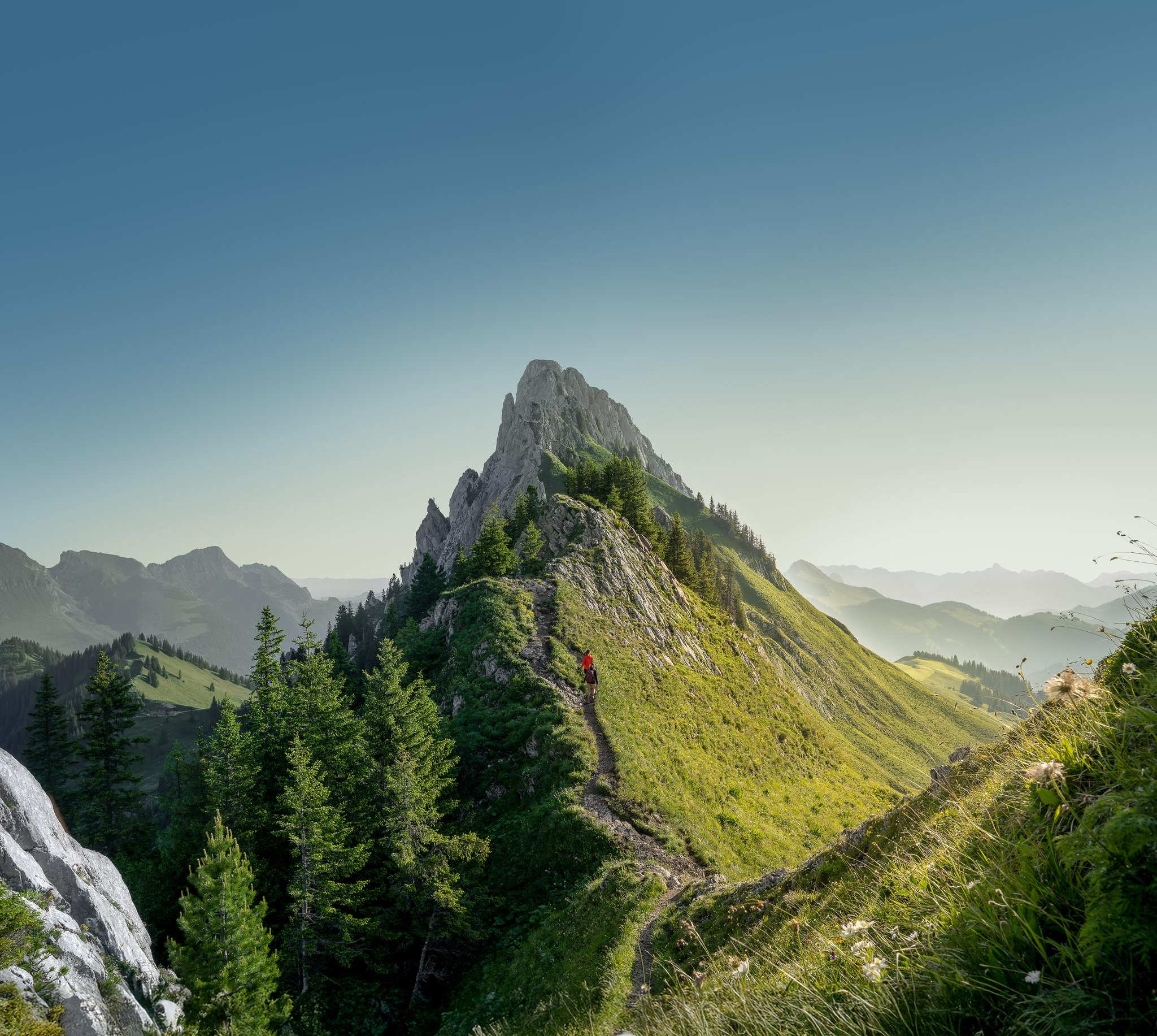
Zeit für mehr WANDERN – unsere 10 Highlights
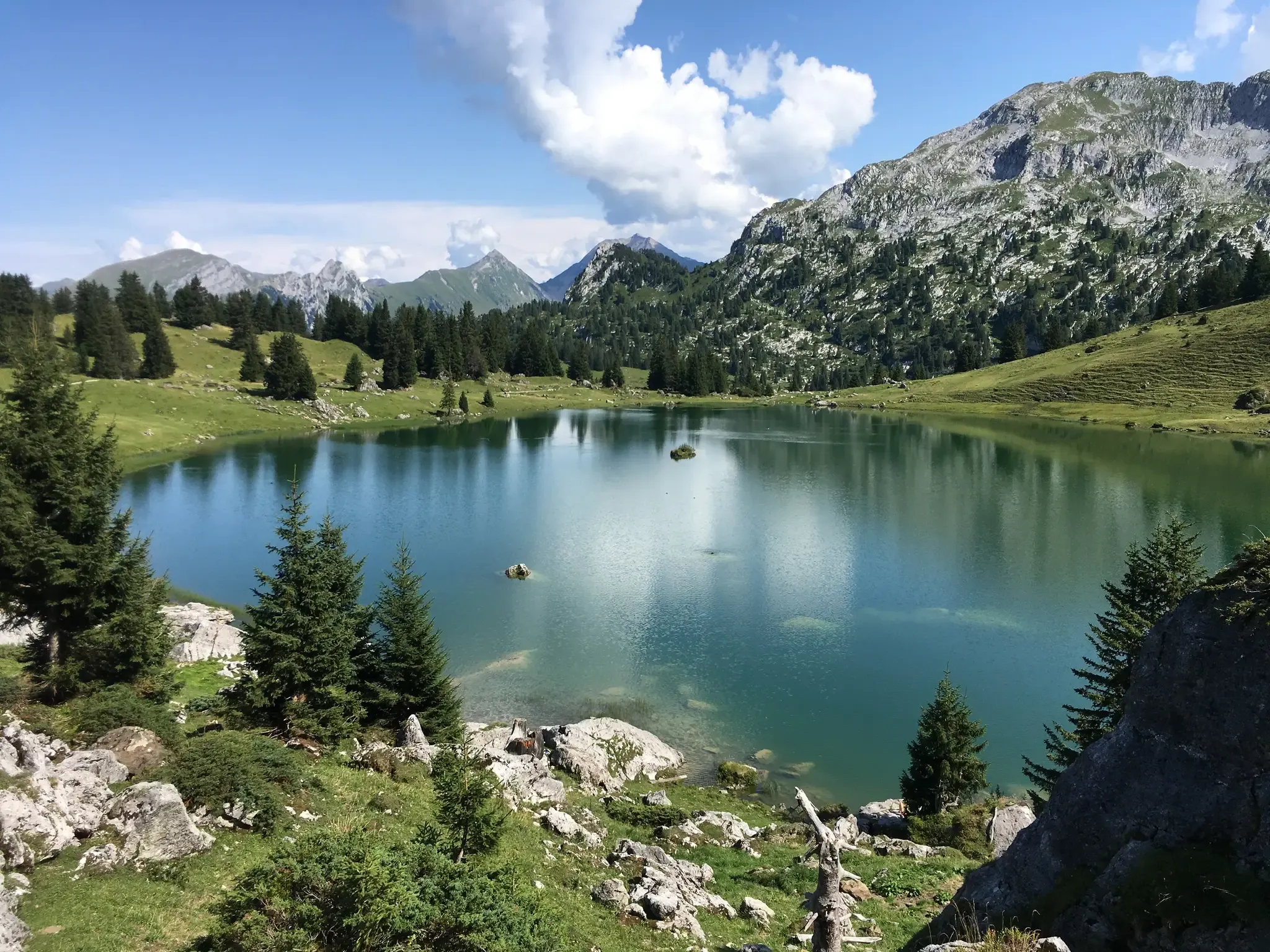
山の湖、川、城 - Berner Voralpenweg
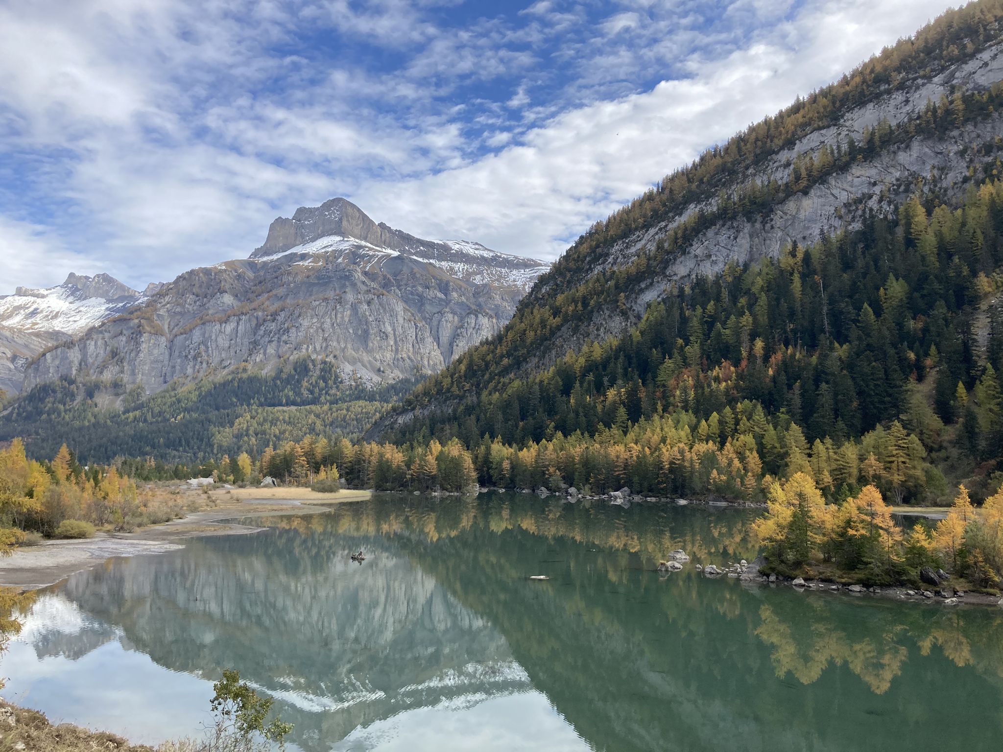
モットラ 地埆とィリアルド サンチャールドル計百 - Sanetsch-Muveran-Weg 関準路会
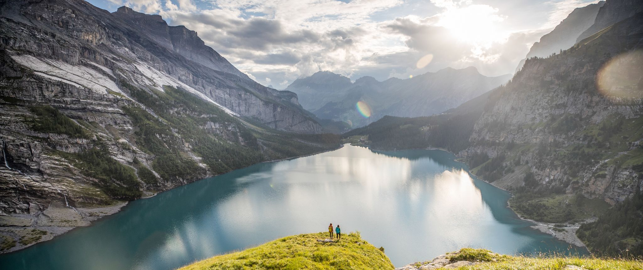
Glittering mountain lakes around Bern – Blogger Hike Challenge 2019

スイスのバイクパッキング希望1000の11ステージ
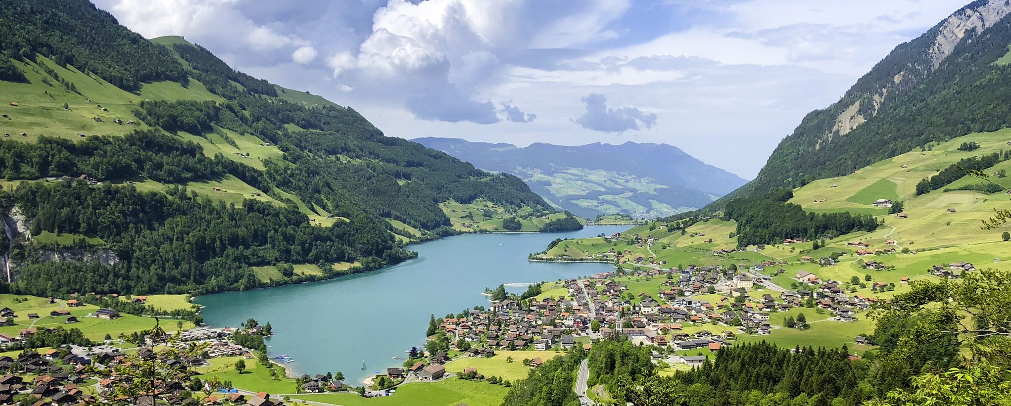
スイスアルプス前山地の画集のような景色 – レイクスルート
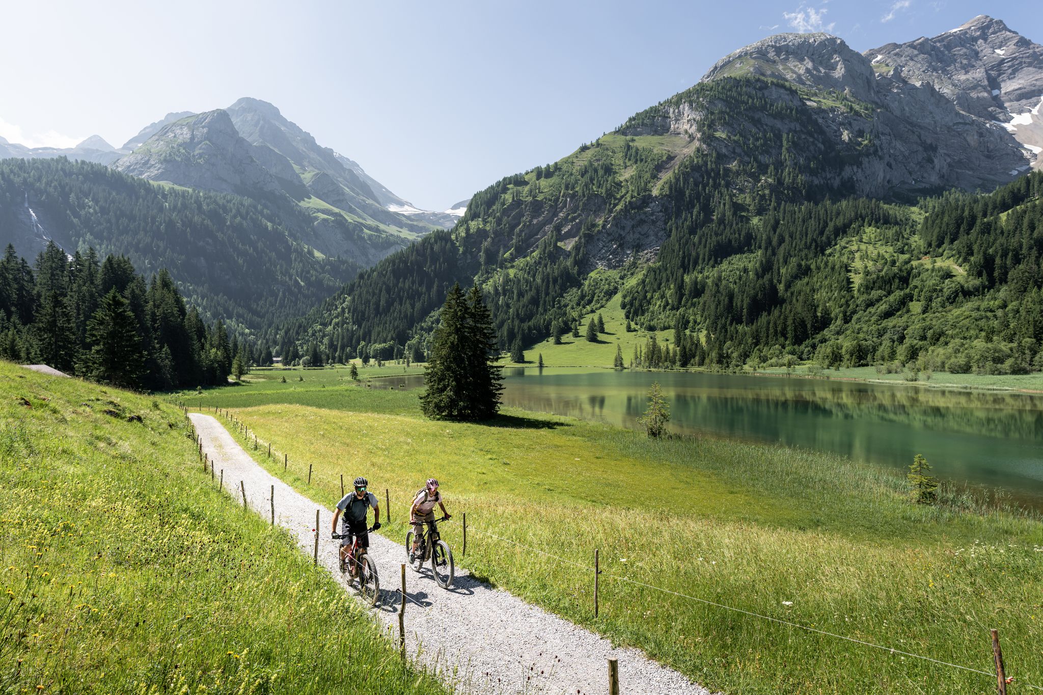
Time for more MOUNTAINBIKE – our 10 highlights
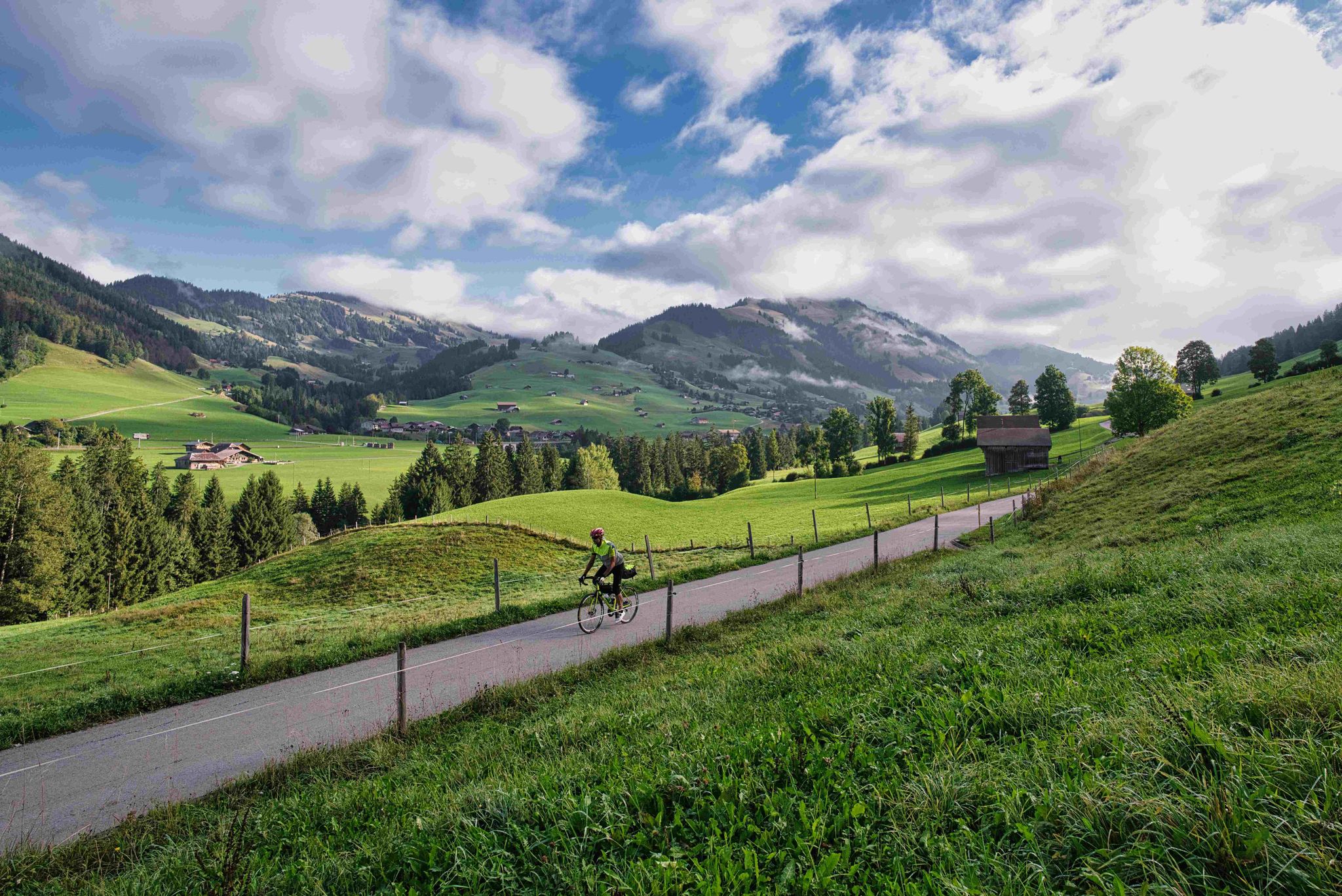
ボーデンゼーからジェネバ湖まで
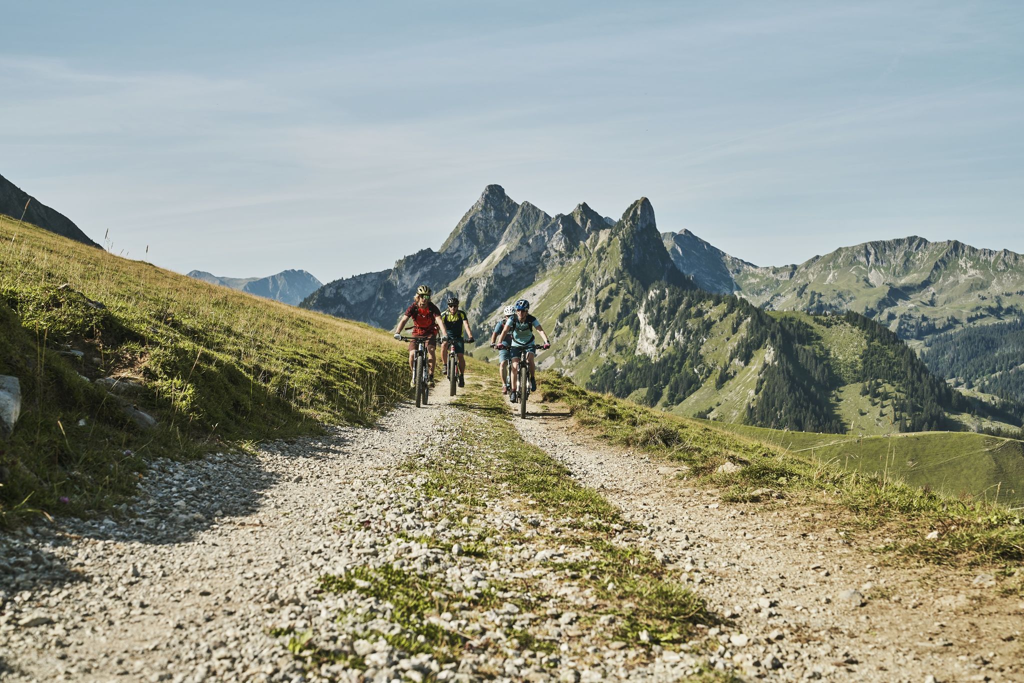
Grand Gourmet Rides in der Schweiz

Asphaltglück und Gaumenfreude – Grand Gourmet Rides durch die Schweiz
ザーネンでのの他の冒険


コミュニティからのヒント


The Tungelschuss waterfall plunges roaring water from the Tungelbach stream over several cascades into the depths – particularly spectacular after snowmelt. The viewing point on the western shore of Lake Lauenen, about 400m from the parking lot, offers a clear view of the waterfall – often accompanied by a loud roar. 🥾 Hike & Access Access: From the parking lot at Lake Lauenen, a well-marked hiking trail takes about 5–10 minutes to the observation point. A popular circular hike (approximately 9–12km, 3–5 hours) connects Lake Lauenen, Tungelschuss, Geltenschuss, and the Geltenhütte SAC – a moderately difficult hike with an elevation gain of around 700m. 📌 Facts at a Glance Altitude approx. 1430m above sea level. M. Distance from the parking lot to the waterfall observation point: approx. 400 m Hiking route: Circular route with Geltenschuss and Geltenhütte possible Duration: Circular route: approx. 3–5 hours, moderate difficulty (T2–T3)
0
0
The hike from Lauenensee to the Geltenhütte SAC is a fantastic mountain hike with waterfalls, alpine scenery, and spectacular scenery ⛰️💧🌿. Route: Starts at the Lauenensee parking lot (CHF 15). The trail initially leads leisurely along the lake, then steadily ascends through the Gelten and Lauibach valleys. Impressive waterfalls and rock faces abound. You reach the Geltenhütte (2,002 m) after about 2.5 to 3 hours (approx. 620 m elevation gain). Highlights: ✅ Idyllic Lauenensee right at the start ✅ Wild waterfalls ✅ Quiet, well-marked mountain trail ✅ Refreshments & overnight stay at the Geltenhütte SAC 🛏️🍲 ✅ Possibility of extending the hike, e.g. B. to the Arpelistock Equipment: Sturdy hiking boots 🥾, weather protection 🧥, plenty of water & snacks 💧🥪, and possibly walking poles 🦯. In early summer, there may be patches of snow – surefootedness is required. Recommendation: Set off early in the morning ⏰, especially on warm days – the trail is exposed to the sun.
1
1

This part of the hike is not entirely safe, but can be easily managed by focusing on the sidewalk.
0
0

Attention: The last 100 mUp from Sanetsch are T4
0
0

komootモバイルアプリでインスピレーションを得よう


さらに探索
他の地域の最高のハイキングを見てみましょう。
