サンテレーヌデュラックのおすすめ登山&山歩きルート
4.5
(7)
39
ハイカー
3
ハイキング
シャンベリーの山々をもっと探索しませんか?このガイドでご紹介するのは、komootがサンテレーヌデュラックでの登山&山歩きのコレクション全体を評価して選び抜いた、このエリアの人気ルートです。あなたに合ったルートを見つけるには、他のユーザーがアップロードした役立つ情報や写真を閲覧し、クリック操作で簡単に表示できる詳細なデータを参考にしましょう。サンテレーヌデュラックでの次の冒険にぴったりの登山&山歩きルートが見つかるはずです。
最終更新日: 8月 29, 2026
4.0
(3)
12
ハイカー
19.8km
08:34
1,380m
1,380m
難しい登山ルート. 標準以上のフィットネスレベルが必要です。 全般的に進みやすいルートです。安定して歩行できる技術が必要です。
6
ハイカー
13.9km
05:36
990m
990m
難しい登山ルート. 標準以上のフィットネスレベルが必要です。 全般的に進みやすいルートです。安定して歩行できる技術が必要です。

無料新規登録
5.0
(1)
6
ハイカー
5.40km
02:36
390m
390m
中程度の登山ルート. ある程度のフィットネスレベルが必要です。 全般的に進みやすいルートです。安定して歩行できる技術が必要です。
4.0
(2)
7
ハイカー
12.6km
05:43
1,110m
1,110m
難しい登山ルート. 標準以上のフィットネスレベルが必要です。 全般的に進みやすいルートです。安定して歩行できる技術が必要です。
4
ハイカー
7.31km
02:58
410m
410m
難しい登山ルート. ある程度のフィットネスレベルが必要です。 安定して歩行できる技術、丈夫な靴、高標高地での登山経験が必要です。
おすすめのツアーは他のkomootユーザーが実際に経験した何千ものアクティビティに基づいています。
無料アカウントで今日から始めよう
次の冒険が待っています。
ログインまたは登録
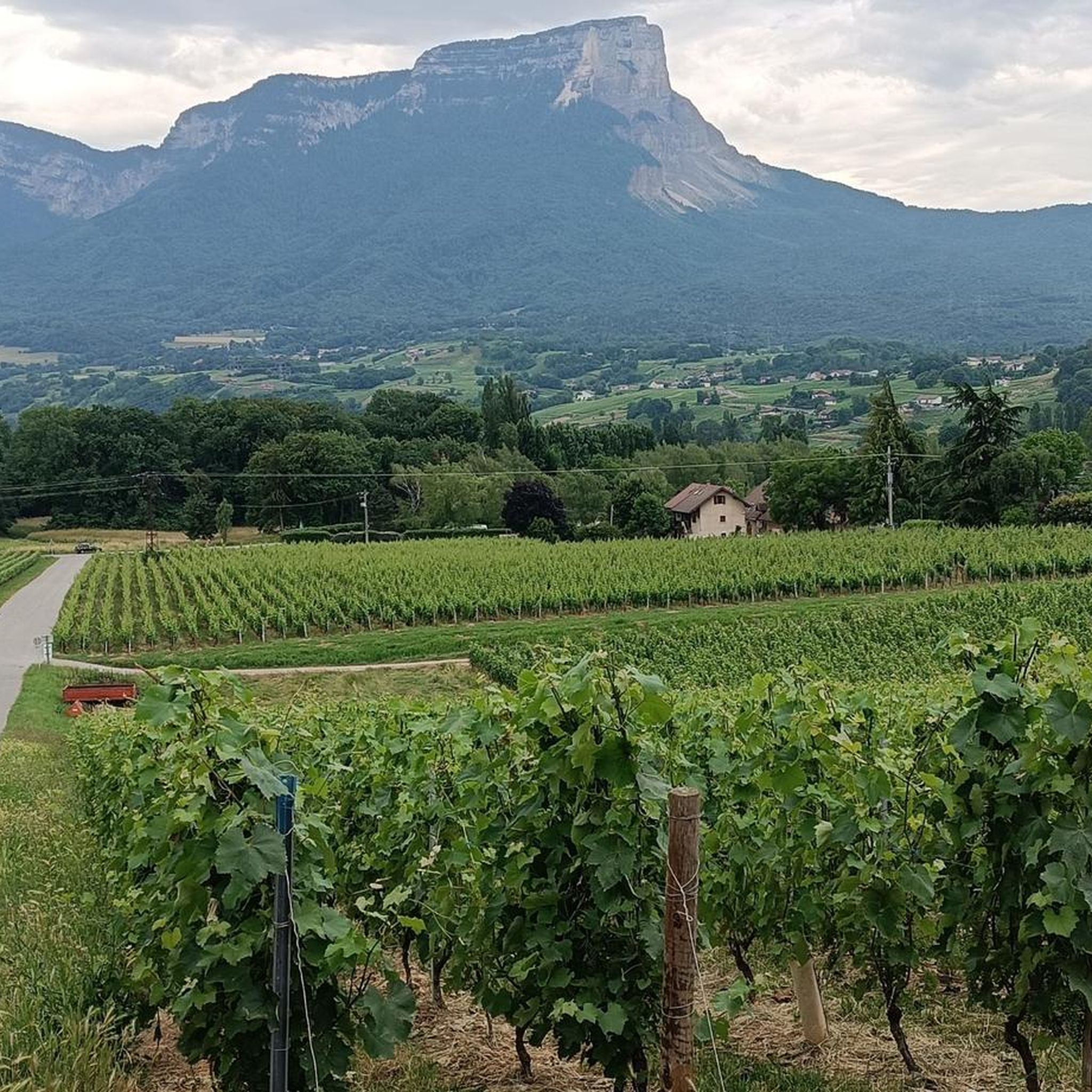
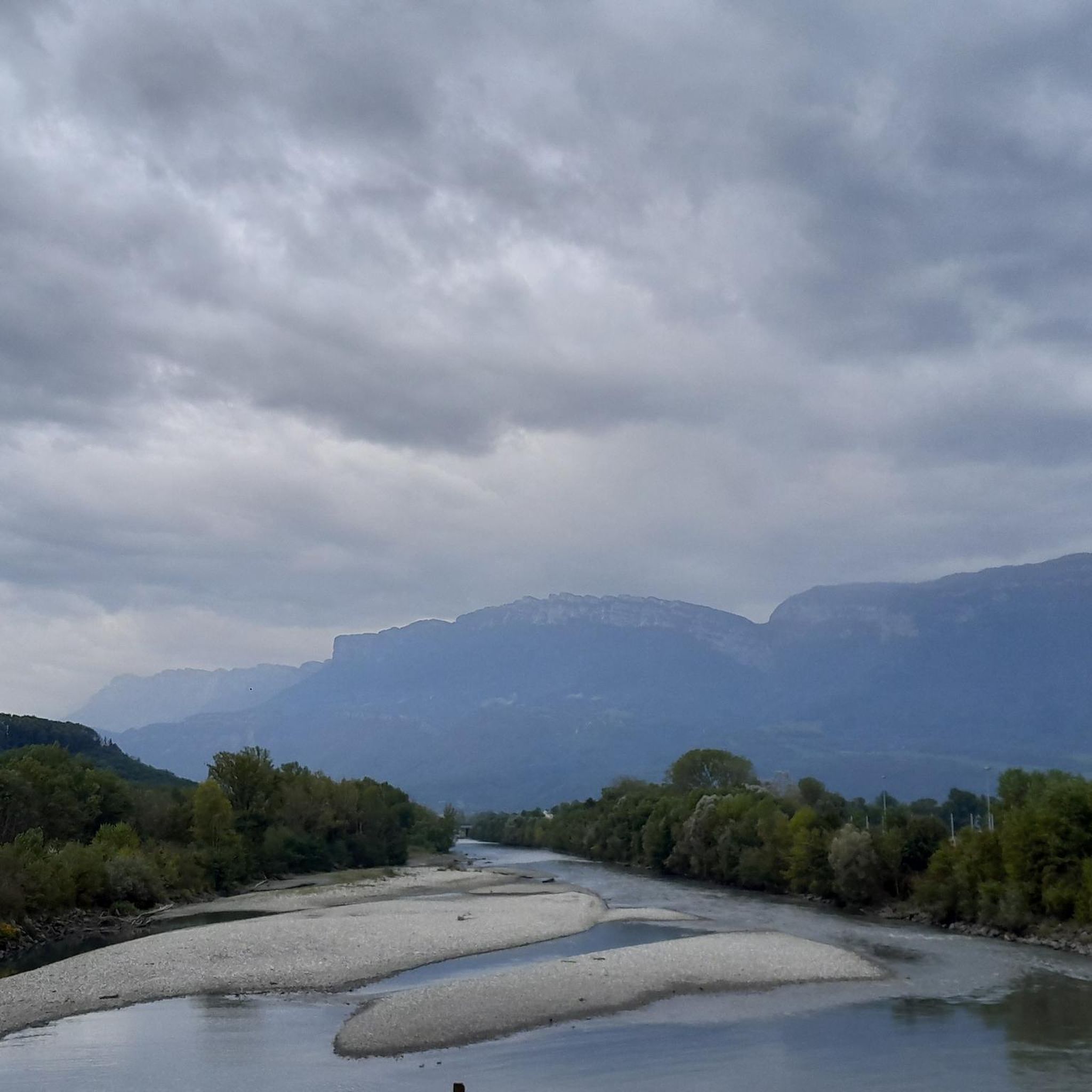
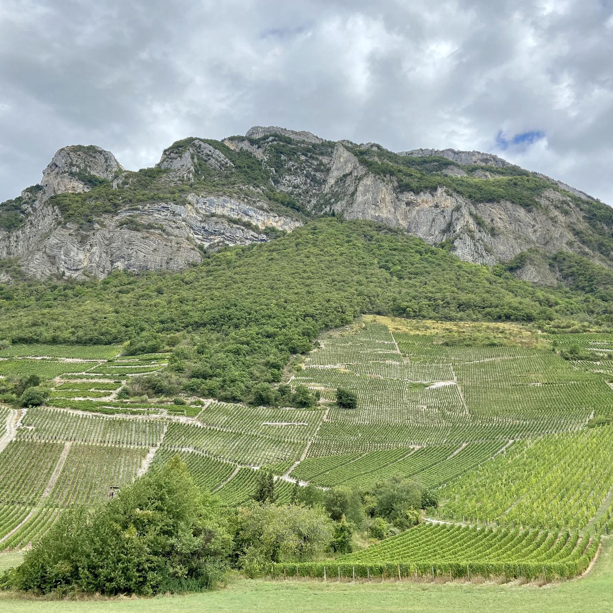
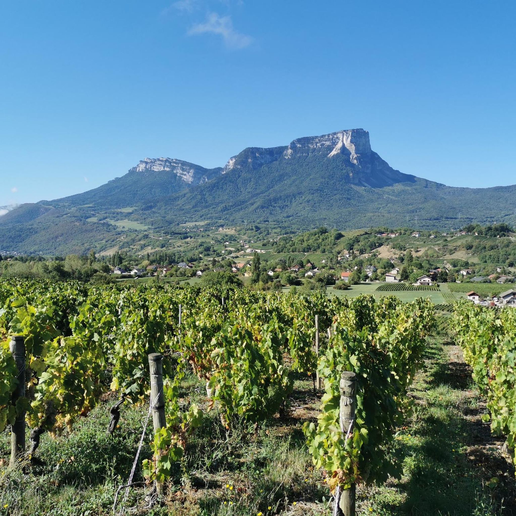
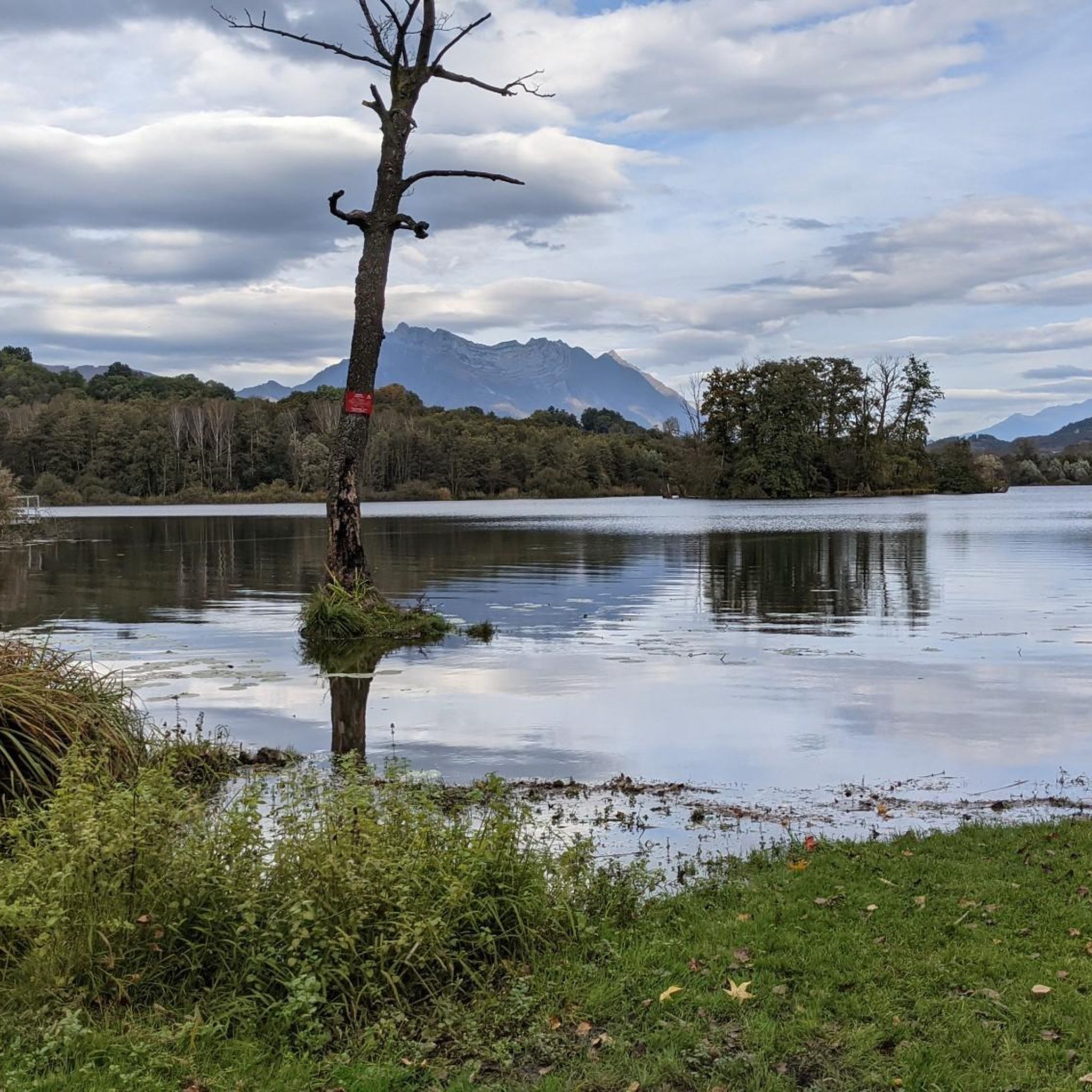
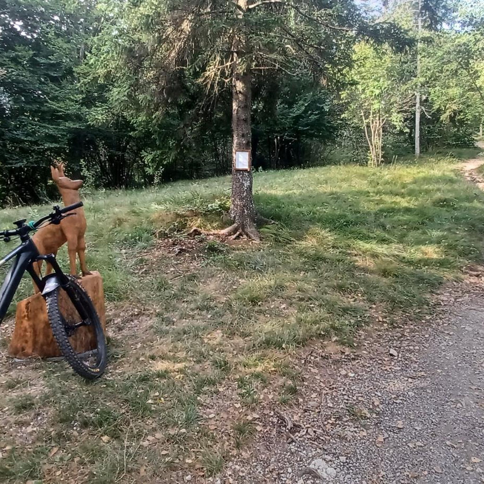
コミュニティからのヒント


Warning: The climb from the east side is extremely steep! An average gradient of around 10% over 9-10 km.
2
0

Very good and quite accessible as a pass. Be careful of overtaking cars.
1
2

From Saint Pierre you pass through Entrement le veux and arrive at the top of Col de Granier, if you take the first right towards Col de Marcieu until Saint Hillaire de Touvet and descend into the valley to Grenoble, very calm, rolling and bucolic
0
0

Wonderful panorama of the Bauges, the Chambéry valley and all the massifs of the Northern Alps.
0
0

Beware of the dwarf king who protects the place.
0
0

As you climb up to the Col de l'Alpe, you will find a summit cross dating from the early 20th century. Erected in 1926, it was built to commemorate local climbers and hikers who lost their lives in the Alps.
2
0

Perched at an altitude of 1,799 meters under the rocks of Belles Ombres, the pass is one of the gateways to the Hauts de Chartreuse nature reserve. A few meters from the pass is the cross of the same name.
1
0
サンテレーヌデュラックでのの人気観光スポット

komootモバイルアプリでインスピレーションを得よう


さらに探索
他の地域の最高の登山ハイキング & ルートを見てみましょう。
