エスムリエールでののおすすめグラベルライド
4.2
(6)
21
ライダー
4
ライド
komootがまとめたエスムリエールでののおすすめグラベルライドを参考にして、グラベルライドの魅力を最大限に楽しみましょう。難易度の高い登り坂や絶景のトレイルなど、あらゆるルートの中から厳選したエスムリエールでののグラベルライドをご覧ください。
最終更新日: 11月 3, 2026
4.5
(4)
6
ライダー
23.0km
01:34
280m
280m
中程度のグラベルライド. ある程度のフィットネスレベルが必要です。 ほとんどが舗装路です。
5
ライダー
69.9km
05:42
2,050m
2,050m
難しいグラベルライド. 標準以上のフィットネスレベルが必要です。 ツアーの一部で自転車を押して歩く必要があるかもしれません。

3.0
(1)
2
ライダー
15.9km
01:15
220m
220m
中程度のグラベルライド. ある程度のフィットネスレベルが必要です。 ほとんどが舗装路です。
3
ライダー
33.1km
02:15
630m
630m
難しいグラベルライド. 標準以上のフィットネスレベルが必要です。 ほとんどが舗装路です。
2
ライダー
9.86km
00:40
170m
170m
中程度のグラベルライド. ある程度のフィットネスレベルが必要です。 ほとんどが舗装路です。
おすすめのツアーは他のkomootユーザーが実際に経験した何千ものアクティビティに基づいています。
無料アカウントで今日から始めよう
次の冒険が待っています。
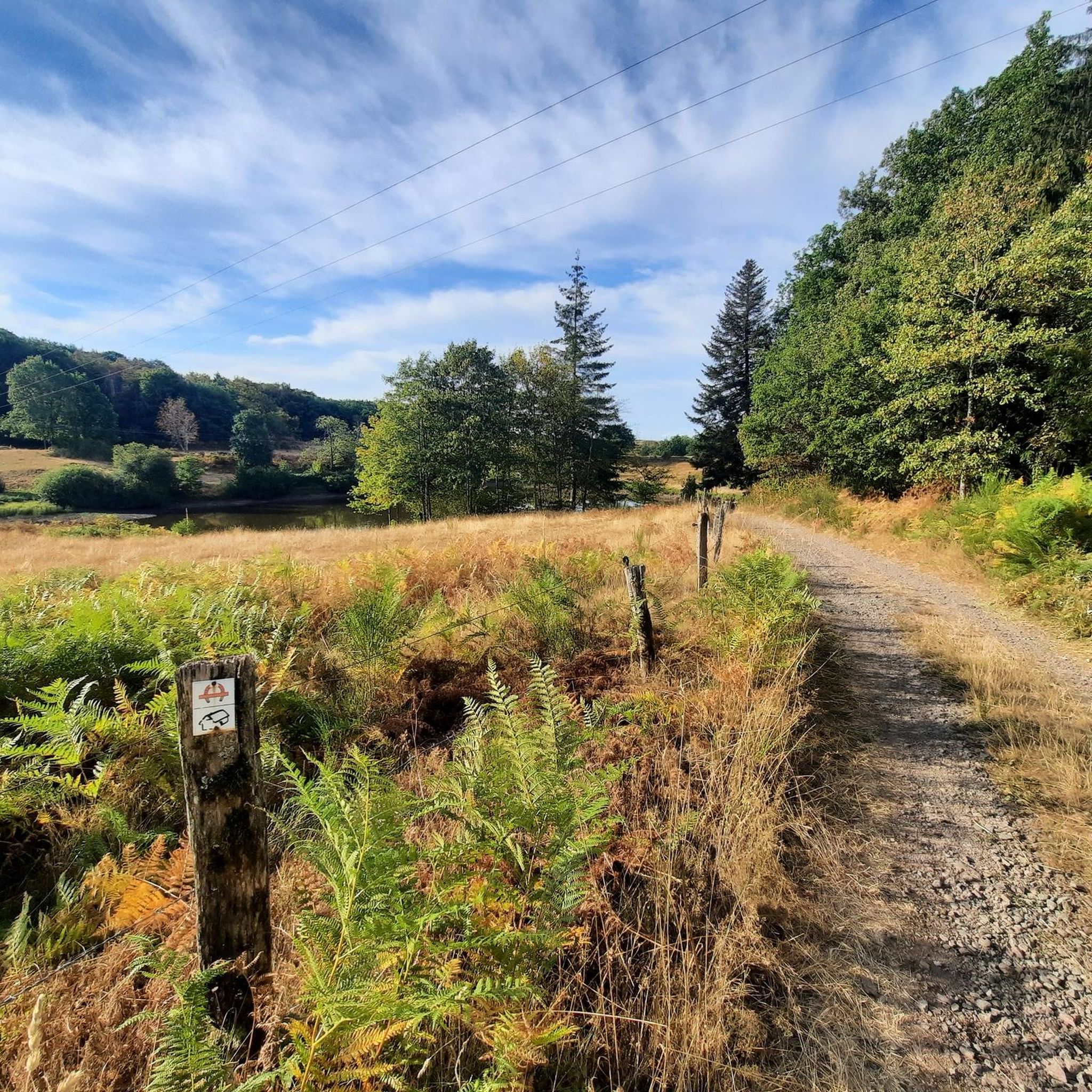
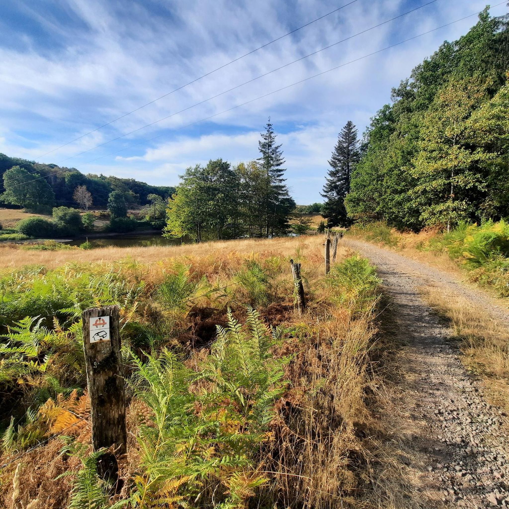
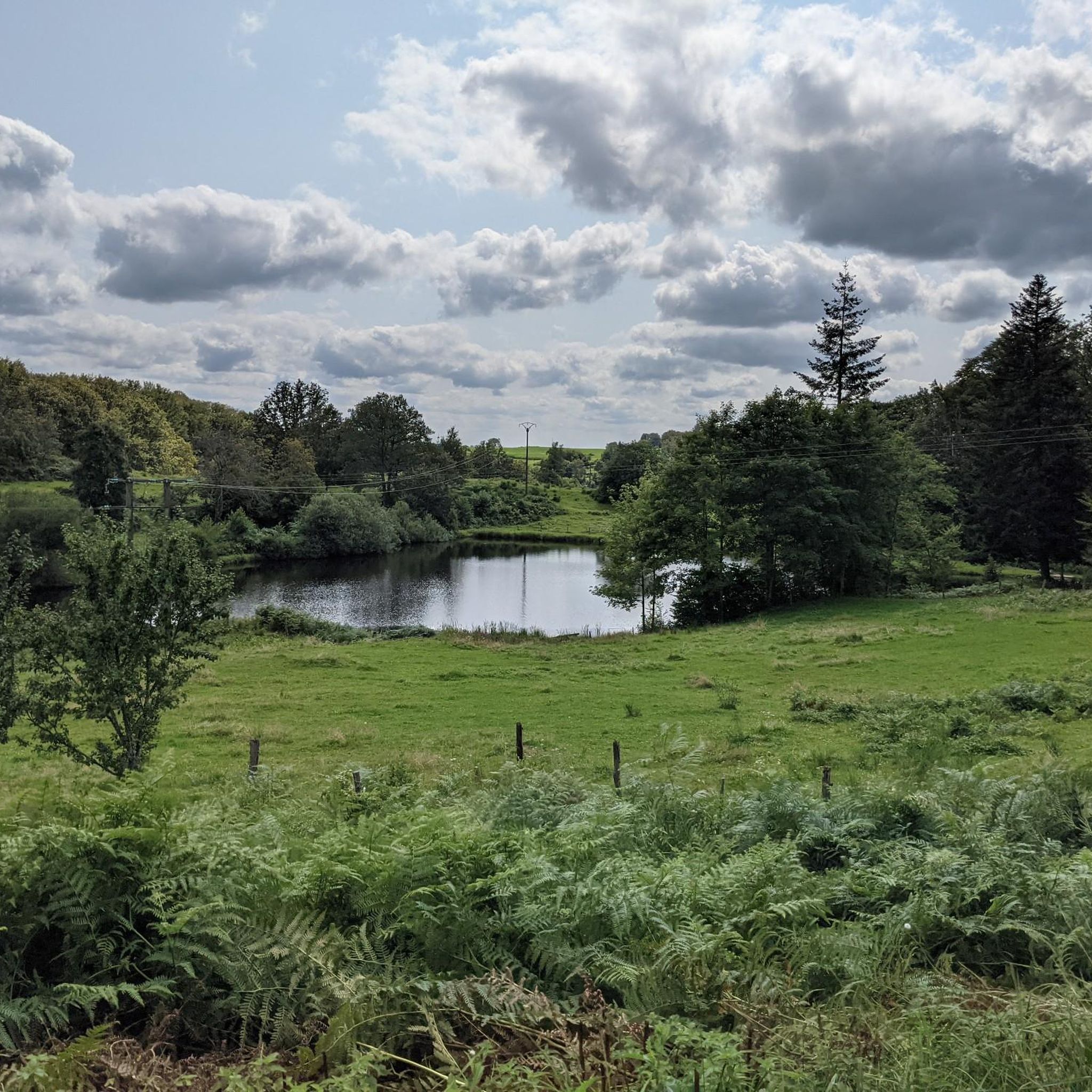
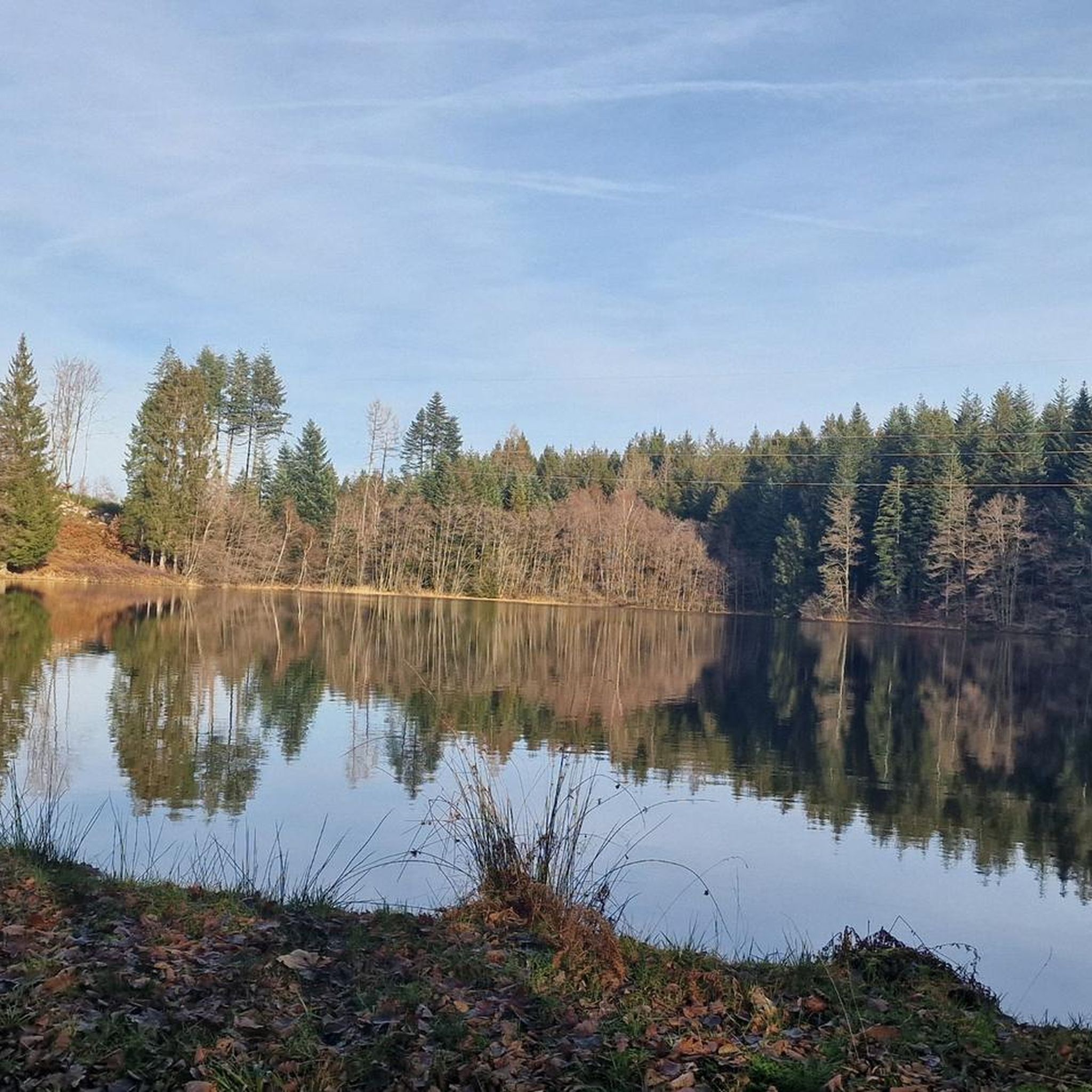
コミュニティからのヒント

De Col des Croix is a 679-meter-high mountain pass in the French Vogezen massif, located on the border of the Vosges and Haute-Saône departments. The pass forms an accessible connecting road (the D486) between the northern Le Thillot and the southern Servance. At the top, you will find the well-known Le Chalet Snack du Col des Croix, and the road splits towards the D16 (Route des Forts), the route that continues to the higher Ballon de Servance.
6
0
The end of the climb is somewhat disappointing. There is nothing marked. No photo opportunity. You have a small parking lot, a closed military road, and a picnic spot well hidden under the trees. At the two yellow signs (mainly for hikers) there is the only indication that you are at the Ballon de Servance and at 1158 m. The climb is "cozy". No cars, completely shaded, a few kilometer markers.
7
0

モーゼル川沿いの美しいサイクリングロード
1
0

ブサン(Bussang)で車を停めてハイキングを始めるのに理想的な場所です。
0
0

エスムリエールでのの人気観光スポット

komootモバイルアプリでインスピレーションを得よう


さらに探索
他の地域の最高のグラベルライドを見てみましょう。
