ラ・ヴィコンテ=シュル=ランスでののおすすめグラベルライド
4.6
(132)
690
ライダー
47
ライド
komootがまとめたラ・ヴィコンテ=シュル=ランスでののおすすめグラベルライドを参考にして、グラベルライドの魅力を最大限に楽しみましょう。難易度の高い登り坂や絶景のトレイルなど、あらゆるルートの中から厳選したラ・ヴィコンテ=シュル=ランスでののグラベルライドをご覧ください。
最終更新日: 10月 19, 2026
4.4
(38)
193
ライダー
37.9km
01:54
150m
150m
中程度のグラベルライド. ある程度のフィットネスレベルが必要です。 ほとんどが舗装路です。
4.5
(14)
124
ライダー
60.4km
03:36
260m
260m
中程度のグラベルライド. ある程度のフィットネスレベルが必要です。 ほとんどが舗装路です。

4.9
(11)
41
ライダー
39.8km
02:09
300m
300m
中程度のグラベルライド. ある程度のフィットネスレベルが必要です。 ほとんどが舗装路です。
4.0
(4)
17
ライダー
43.1km
02:59
570m
570m
難しいグラベルライド. 標準以上のフィットネスレベルが必要です。 ツアーの一部で自転車を押して歩く必要があるかもしれません。
5.0
(1)
24
ライダー
105km
05:41
640m
640m
難しいグラベルライド. 標準以上のフィットネスレベルが必要です。 ほとんどが舗装路です。
さらに多くのルートや他のユーザーのおすすめ情報を確認できます。
すでにアカウントをお持ちですか?
おすすめのツアーは他のkomootユーザーが実際に経験した何千ものアクティビティに基づいています。
無料アカウントで今日から始めよう
次の冒険が待っています。
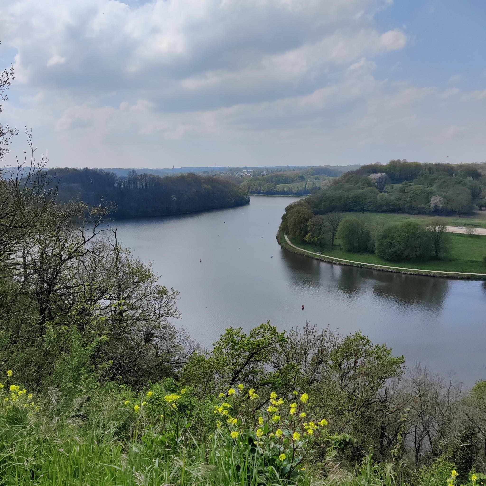
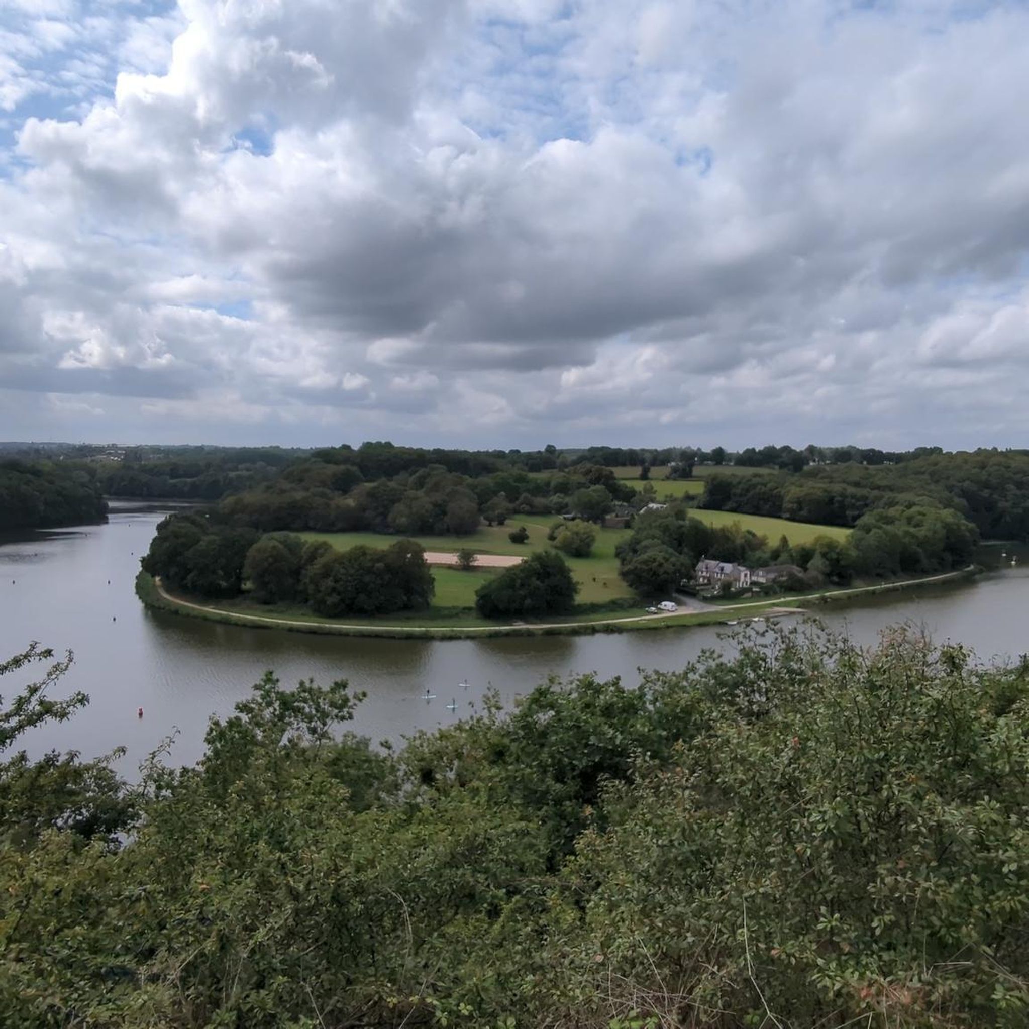
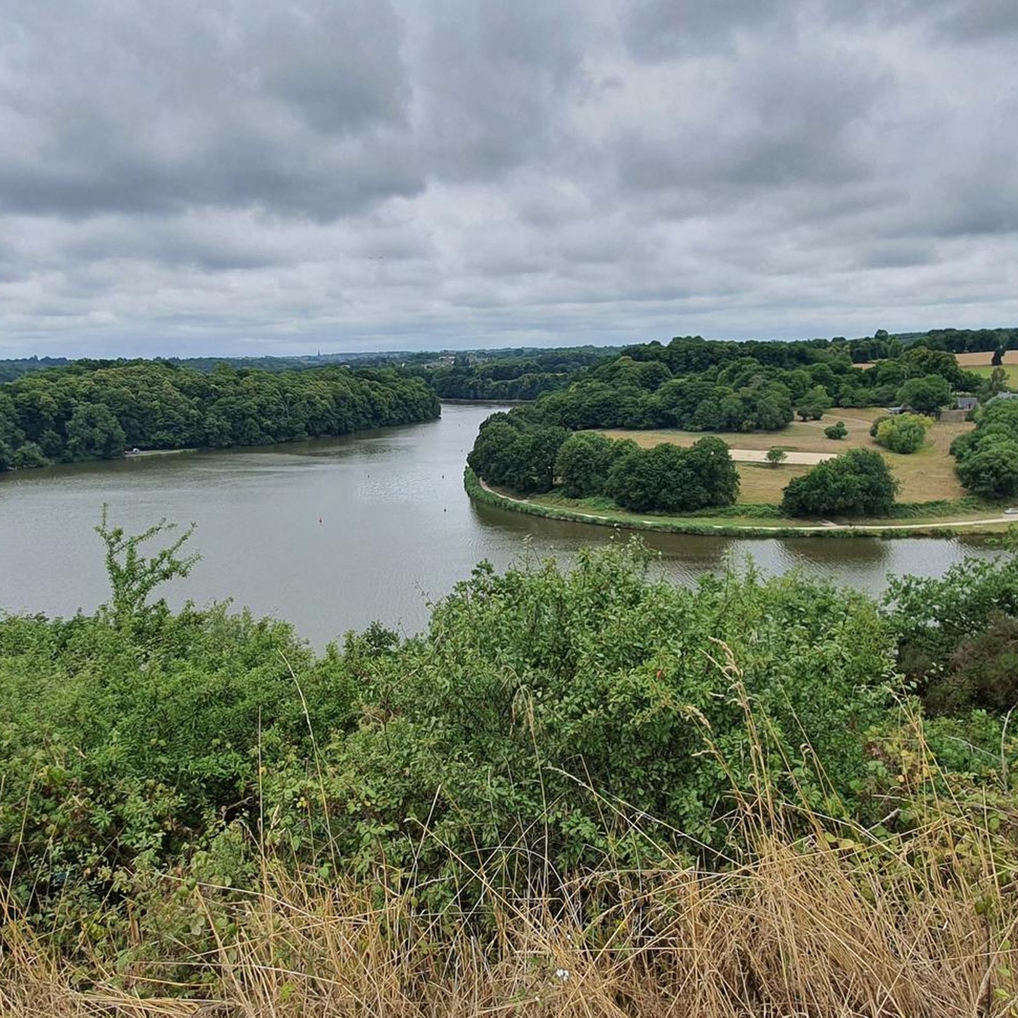
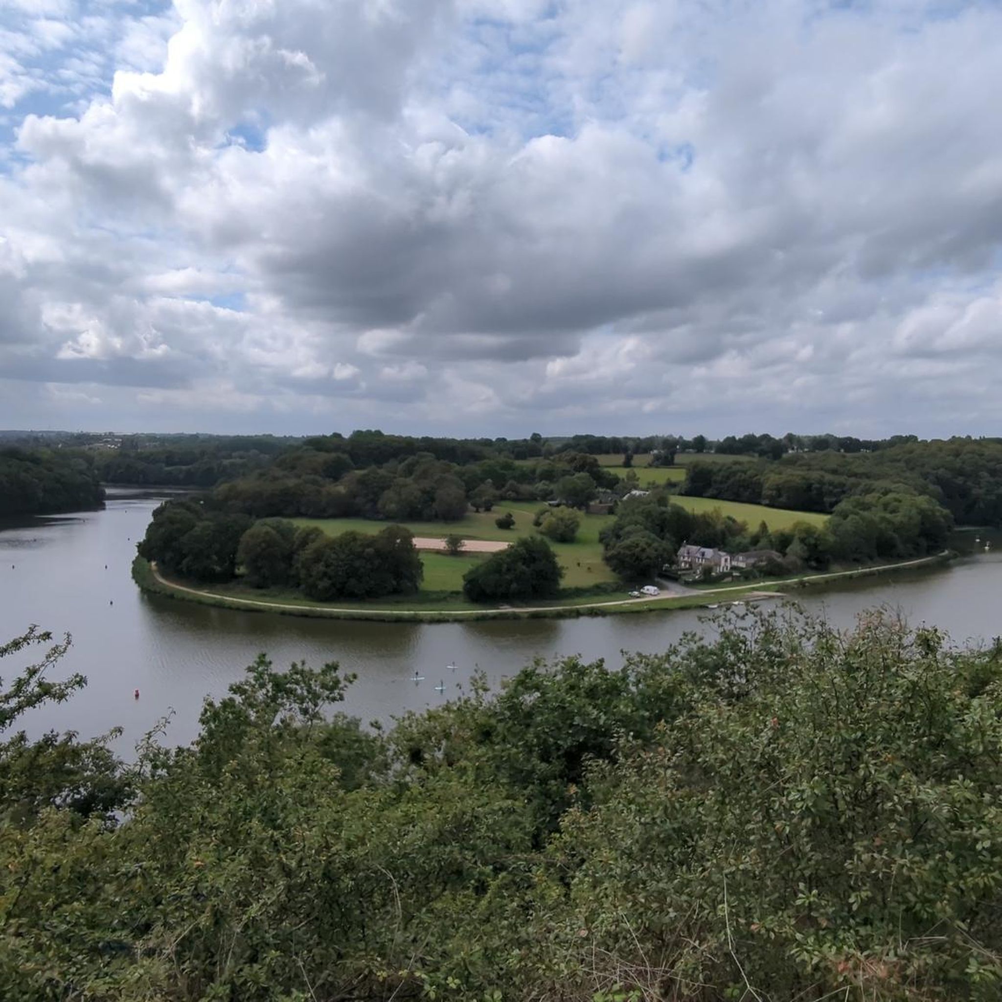
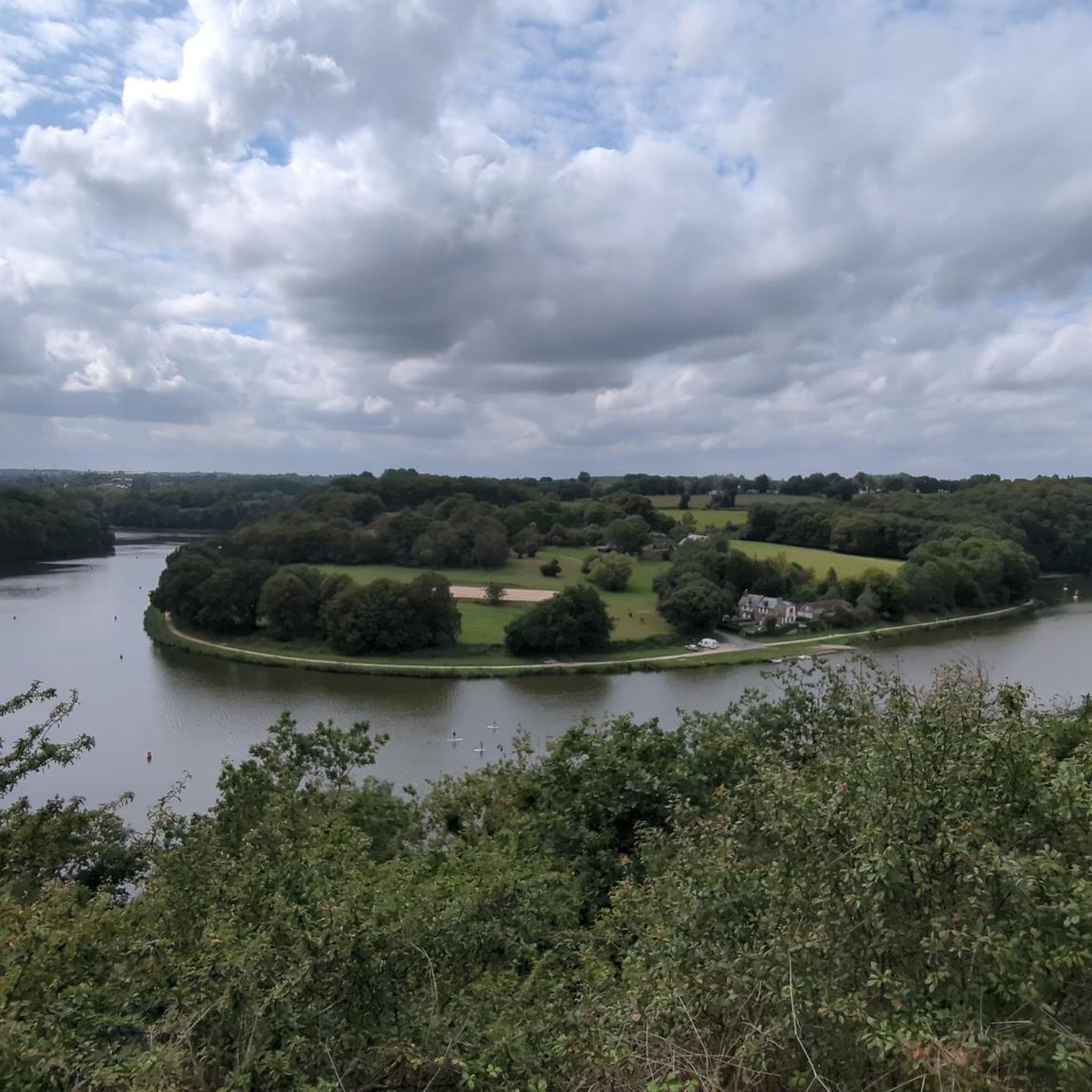
コミュニティからのヒント

素晴らしいグリーンウェイ、非常によく整備されており、グループで走るのに快適です
0
0

Always very pretty and relatively flat, very pleasant.
0
0

It's a very nice conversion, the place is very pleasant
0
0

Beautiful cycling route. More than 90% light gravel.
0
0

Definitely a better choice for getting to Dinan than the bridge closer to Saint Malo.
0
0

The greenway between Dinan and Dinard is an excellent option for a bike ride or walk, offering varied landscapes and a route accessible to all. Here is a summary of reviews and practical information: Highlights: * A car-free and safe route: The greenway is built on a former railway line, making it a flat, traffic-free route. Tunnels and footbridges allow it to avoid roads, making it ideal for families with children. * Varied landscapes: You'll pass through coastal landscapes, marshes, woods, and rapeseed fields. You'll also follow the Rance River and admire beautiful viewpoints. * A rich heritage: The route is dotted with several points of interest, such as the old train stations of Trébéfour and Pleslin-Plouer, the Grand'Cour manor in Taden, and the Champ des Roches megalithic alignment. * Arrival on the Emerald Coast: The greenway ends at the entrance to Dinard, allowing you to discover this Belle Époque-style seaside resort, its listed villas, and its Clair-de-Lune promenade. Practical information: * Distance: Approximately 23 km. * Difficulty: Easy. * Surface: Stabilized, good quality for bicycles, but not suitable for rollerblades. * Bike rental: Available in Dinan and Dinard. * Connections: The greenway connects to the Ille-et-Rance Canal, allowing you to extend the ride to Rennes or Saint-Malo. It is also possible to take a water bus between Dinard and Saint-Malo with your bike. Points of caution: * Some sections may be narrow, so it is important to remain vigilant and pass each other with caution. * Signage may be discontinuous in some places, particularly in Saint-Malo and Dinard. *There are few shops and restaurants along the route, so it's advisable to bring water and snacks. In summary, the Dinan-Dinard greenway is a beautiful walk, perfect for a relaxing day exploring Brittany.
0
0
ラ・ヴィコンテ=シュル=ランスでのの人気観光スポット

komootモバイルアプリでインスピレーションを得よう


さらに探索
他の地域の最高のグラベルライドを見てみましょう。
