ランバレイでののおすすめグラベルライド
4.6
(136)
721
ライダー
53
ライド
komootがまとめたランバレイでののおすすめグラベルライドを参考にして、グラベルライドの魅力を最大限に楽しみましょう。難易度の高い登り坂や絶景のトレイルなど、あらゆるルートの中から厳選したランバレイでののグラベルライドをご覧ください。
最終更新日: 10月 19, 2026
4.5
(14)
124
ライダー
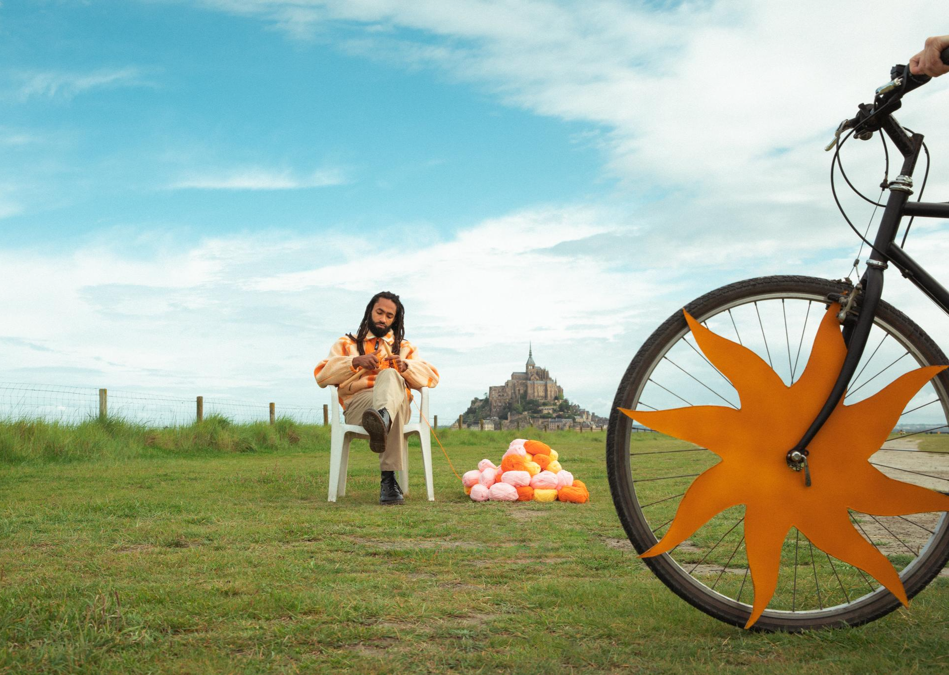
60.4km
03:36
260m
260m
中程度のグラベルライド. ある程度のフィットネスレベルが必要です。 ほとんどが舗装路です。
4.9
(11)
41
ライダー
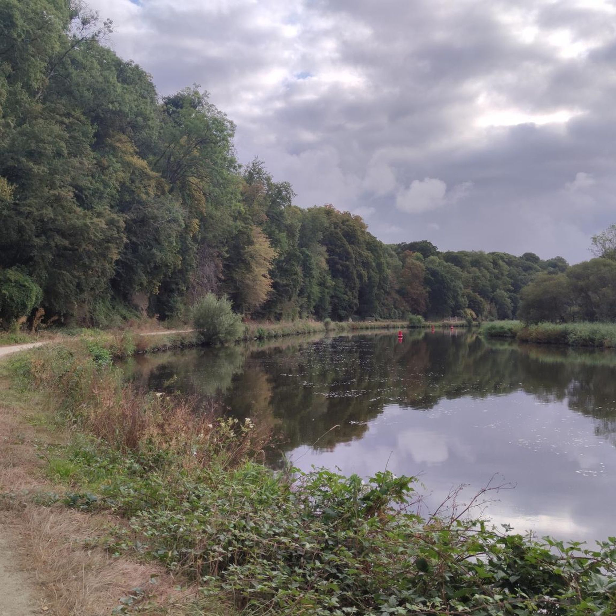
39.8km
02:09
300m
300m
中程度のグラベルライド. ある程度のフィットネスレベルが必要です。 ほとんどが舗装路です。

5.0
(3)
15
ライダー
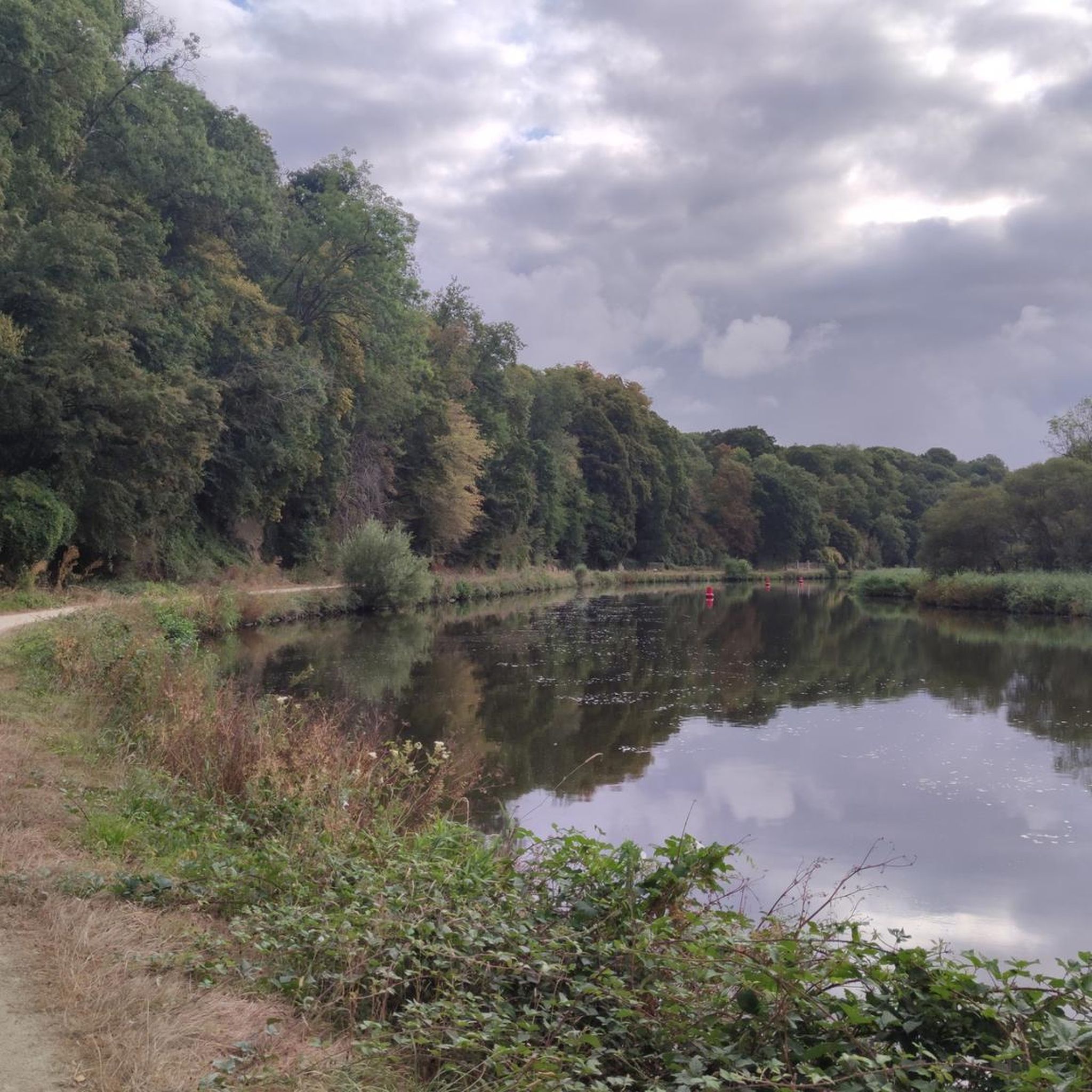
20.8km
01:05
150m
150m
初級者向けグラベルライド. ほとんどが舗装路です。
15
ライダー
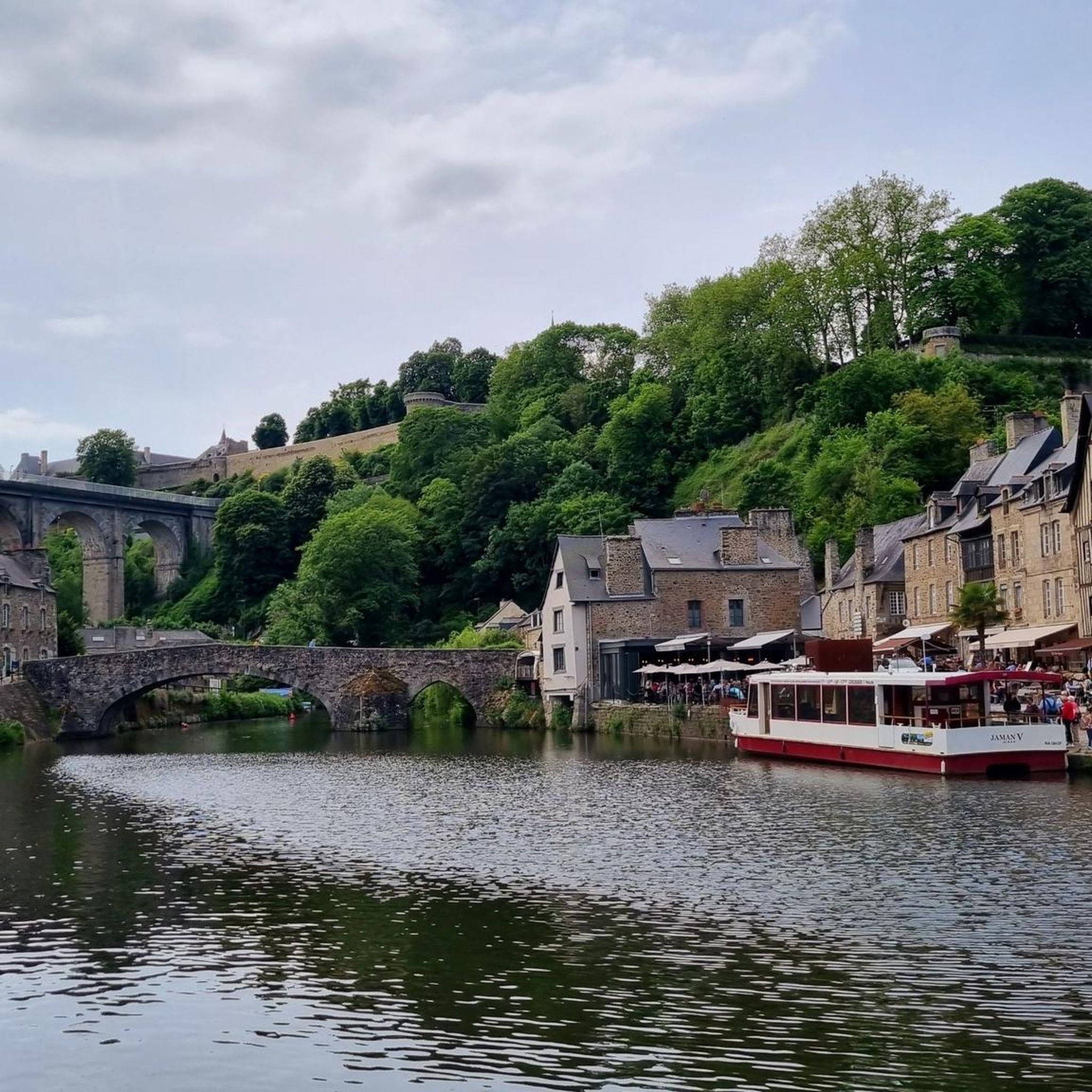
47.8km
02:32
280m
280m
中程度のグラベルライド. ある程度のフィットネスレベルが必要です。 ほとんどが舗装路です。
4.5
(2)
7
ライダー
53.9km
03:04
400m
400m
中程度のグラベルライド. ある程度のフィットネスレベルが必要です。 ほとんどが舗装路です。
さらに多くのルートや他のユーザーのおすすめ情報を確認できます。
すでにアカウントをお持ちですか?
おすすめのツアーは他のkomootユーザーが実際に経験した何千ものアクティビティに基づいています。
無料アカウントで今日から始めよう
次の冒険が待っています。

コミュニティからのヒント

Always very pretty and relatively flat, very pleasant.
0
0

The abbey church and cloister are definitely worth a visit.
0
0

It's a very nice conversion, the place is very pleasant
0
0


Beautiful cycling route. More than 90% light gravel.
0
0

The greenway between Dinan and Dinard is an excellent option for a bike ride or walk, offering varied landscapes and a route accessible to all. Here is a summary of reviews and practical information: Highlights: * A car-free and safe route: The greenway is built on a former railway line, making it a flat, traffic-free route. Tunnels and footbridges allow it to avoid roads, making it ideal for families with children. * Varied landscapes: You'll pass through coastal landscapes, marshes, woods, and rapeseed fields. You'll also follow the Rance River and admire beautiful viewpoints. * A rich heritage: The route is dotted with several points of interest, such as the old train stations of Trébéfour and Pleslin-Plouer, the Grand'Cour manor in Taden, and the Champ des Roches megalithic alignment. * Arrival on the Emerald Coast: The greenway ends at the entrance to Dinard, allowing you to discover this Belle Époque-style seaside resort, its listed villas, and its Clair-de-Lune promenade. Practical information: * Distance: Approximately 23 km. * Difficulty: Easy. * Surface: Stabilized, good quality for bicycles, but not suitable for rollerblades. * Bike rental: Available in Dinan and Dinard. * Connections: The greenway connects to the Ille-et-Rance Canal, allowing you to extend the ride to Rennes or Saint-Malo. It is also possible to take a water bus between Dinard and Saint-Malo with your bike. Points of caution: * Some sections may be narrow, so it is important to remain vigilant and pass each other with caution. * Signage may be discontinuous in some places, particularly in Saint-Malo and Dinard. *There are few shops and restaurants along the route, so it's advisable to bring water and snacks. In summary, the Dinan-Dinard greenway is a beautiful walk, perfect for a relaxing day exploring Brittany.
0
0
completely flat, straight, in the shade, and sheltered from cars. Brilliant
1
0
ランバレイでのの人気観光スポット

komootモバイルアプリでインスピレーションを得よう


さらに探索
他の地域の最高のグラベルライドを見てみましょう。
