プルーヴェンでののおすすめグラベルライド
4.3
(140)
792
ライダー
57
ライド
グラベルバイクでのサイクリングは、海岸への近さが特徴の多様な景観を提供し、海岸沿いの道と内陸のルートが混在しています。この地域には、保護された湿地帯、森林地帯、田園地帯の道があり、探索に適した変化に富んだ地形を提供します。ライダーは適度な標高の上昇を期待でき、ルートには大きな登りよりも穏やかな丘が多い傾向があります。これらの環境の組み合わせにより、プレヴェンはさまざまなグラベルバイク体験に適しています。
プレヴェン周辺の最高のグラベルバイクコース
- 最も人気のあるグラベルバイクコースは、フォエナン発、ケルラービーチ~ムステランポイント周回コースで、距離は26.1マイル(42.0 km)、所要時間は2時間12分です。このルートは海岸の景色とグラベルバイクに適したさまざまな路面を提供します。
- 地元のグラベルバイカーに人気のもう一つのコースは、ラ・フォレ=フォエナン発、ムステランポイント~ケルラービーチ周回コースで、距離は19.5マイル(31.4 km)のイージーコースです。このルートは海岸線と周囲の田園地帯を巡り、景色の良いグラベルバイク体験を提供します。
- 地元のグラベルバイカーに愛されているのは、プロムラン発、イリ=テュディ~イリ=テュディの眺め周回コースで、距離は28.8マイル(46.3 km)、海岸の景色を楽しみながら変化に富んだ地形を巡り、所要時間は約2時間39分です。
- プレヴェン周辺のグラベルバイクは、海岸沿いの道、田園地帯の道、そして穏やかな丘によって特徴づけられます。このネットワークには、プレヴェン近郊のイージーなグラベルバイクコースと、より挑戦的なルートが含まれており、さまざまなスキルレベルのオプションを提供しています。
- プレヴェンのルートは、komootコミュニティから高く評価されており、140件以上のレビューで平均4.5つ星を獲得しています。800人以上のグラベルバイカーがkomootを利用して、プレヴェンの多様な地形を探索しています。
最終更新日: 11月 3, 2026
4.3
(15)
58
ライダー
46.1km
02:48
270m
270m
中程度のグラベルライド. ある程度のフィットネスレベルが必要です。 ほとんどが舗装路です。
4.3
(4)
28
ライダー
51.4km
02:48
460m
460m
難しいグラベルライド. 標準以上のフィットネスレベルが必要です。 ほとんどが舗装路です。

4.5
(2)
12
ライダー
55.5km
03:25
500m
500m
難しいグラベルライド. 標準以上のフィットネスレベルが必要です。 ほとんどが舗装路です。
4.5
(2)
12
ライダー
17.9km
00:57
40m
40m
初級者向けグラベルライド. ほとんどが舗装路です。
4.0
(1)
10
ライダー
11.9km
00:34
20m
20m
初級者向けグラベルライド. ほとんどが舗装路です。
さらに多くのルートや他のユーザーのおすすめ情報を確認できます。
すでにアカウントをお持ちですか?
おすすめのツアーは他のkomootユーザーが実際に経験した何千ものアクティビティに基づいています。
無料アカウントで今日から始めよう
次の冒険が待っています。
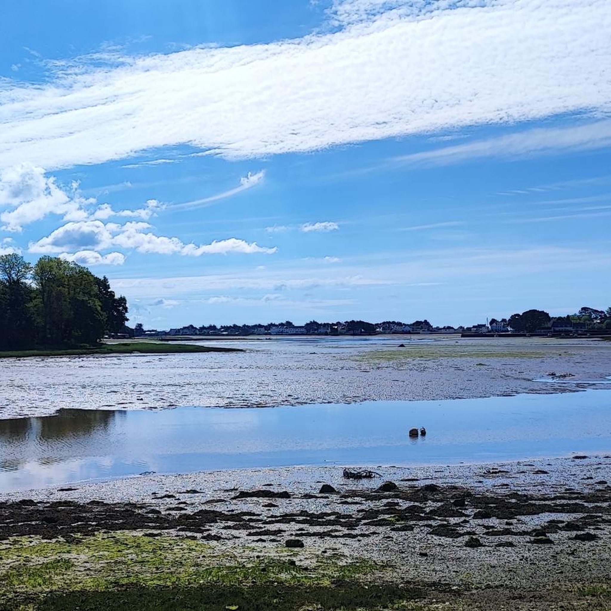
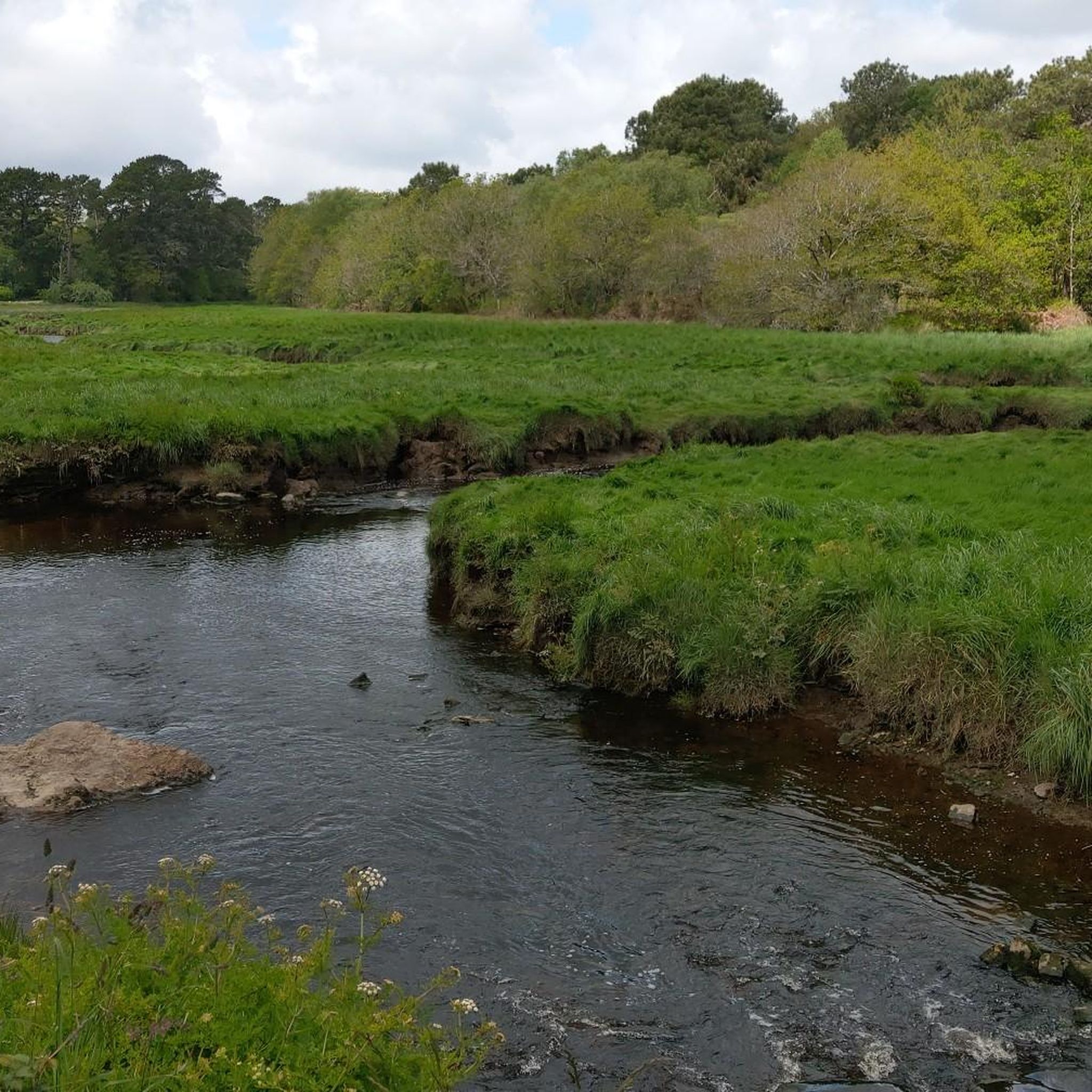
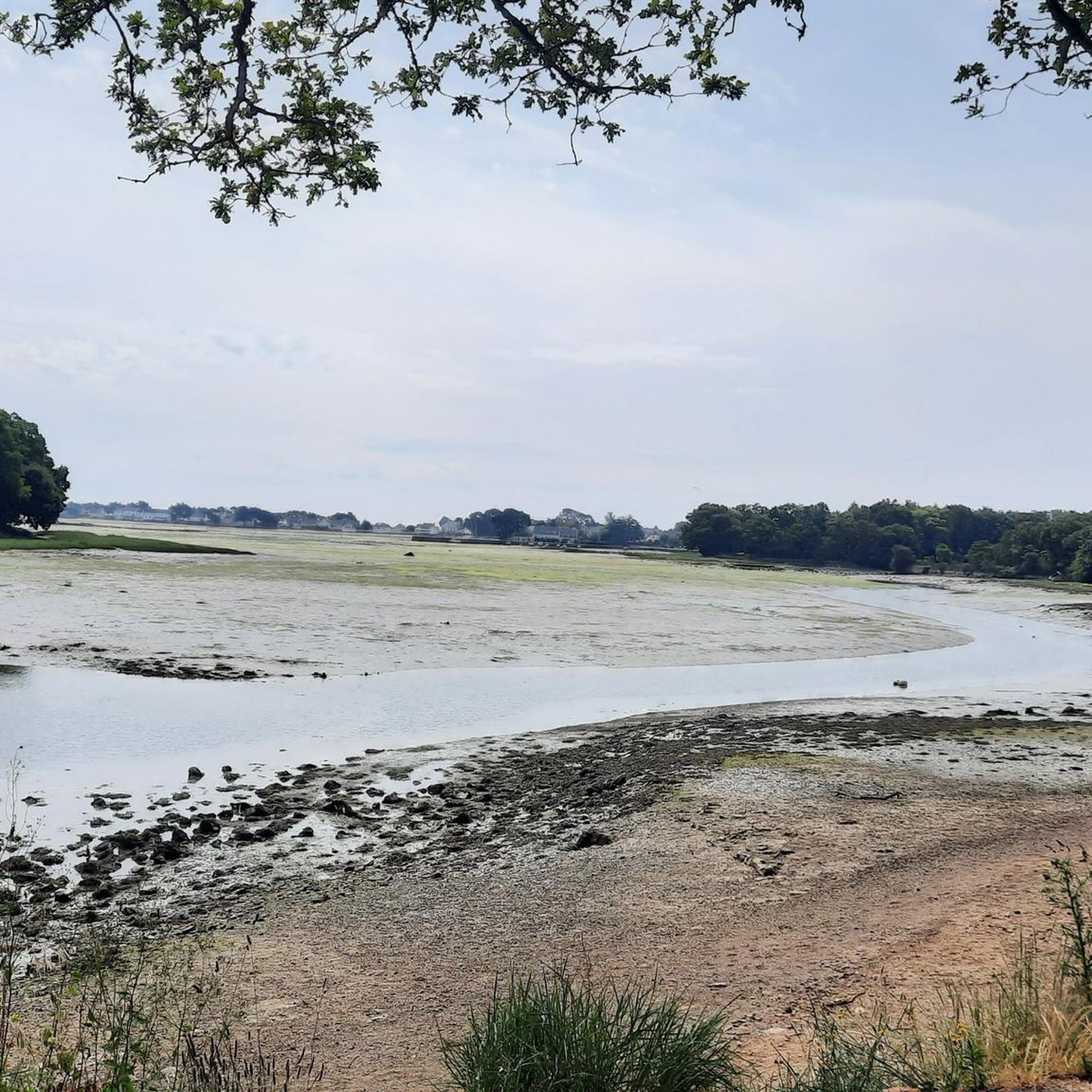
コミュニティからのヒント

Pont-l'Abbéでは必見です。特に暑い日には、この静かで荒廃した場所が、賑やかな市場の日にぴったりのスポットです。
0
0


In 1239, Bishop Raynaud commissioned the construction of Saint-Corentin Cathedral. It was built on the foundations of a Romanesque cathedral. Construction lasted three centuries. In 1410, the choir vaults were completed and the windows were installed. In 1424, construction began on the nave and the two towers of the facade. The reconstruction was completed in 1515. The two towers were finally finished between 1854 and 1856. A distinctive feature is its kink in the main axis. The reason for this design element is unclear. Several theories exist. One suggests that it emphasizes the crucifix. Another posits that it is due to the stability of the foundation. Yet another suggests that the kink reflects the inclined head of the crucified Jesus. Following the completion of renovations in December 1999, the cathedral can now be admired as it was decorated at the end of the 15th century. The same colors as in the original, i.e., ochre yellow and ochre red, were used in lime plaster on the rib vaults. Numerous chapels are situated around the chancel, dating from various periods between the 13th and 16th centuries. Excerpts from https://de.wikipedia.org/wiki/Kathedrale_Saint-Corentin
3
0

Bénodet is a small French commune with 3,878 inhabitants (as of January 1, 2022) in the Cornouaille region. It is located in Brittany, in the Finistère department, in the Quimper arrondissement. The name "Bénodet" comes from the Breton language: "Ben" means "head," and "Odet" is the river on which the commune lies. The commune is thus located at the head (or mouth) of the Odet. The commune is located in the Cornouaille region, 13 kilometers (8.2 miles) south of the city of Quimper, at the mouth of the wide, deep Odet estuary, which cuts deep into the land, into the Atlantic Ocean. The Odet estuary is crossed north of the commune by the Pont de Cornouaille, a high road bridge. The more popular tourist towns of Concarneau and Pont-l'Abbé are just a few kilometers away.
2
0
プルーヴェンでのの人気観光スポット

komootモバイルアプリでインスピレーションを得よう


さらに探索
他の地域の最高のグラベルライドを見てみましょう。
