アルシュール-アルシュレットでののおすすめグラベルライド
4.6
(13)
46
ライダー
29
ライド
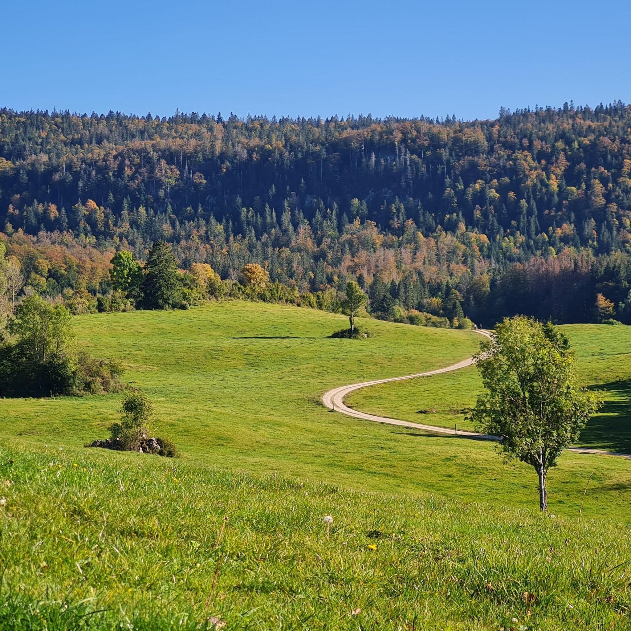
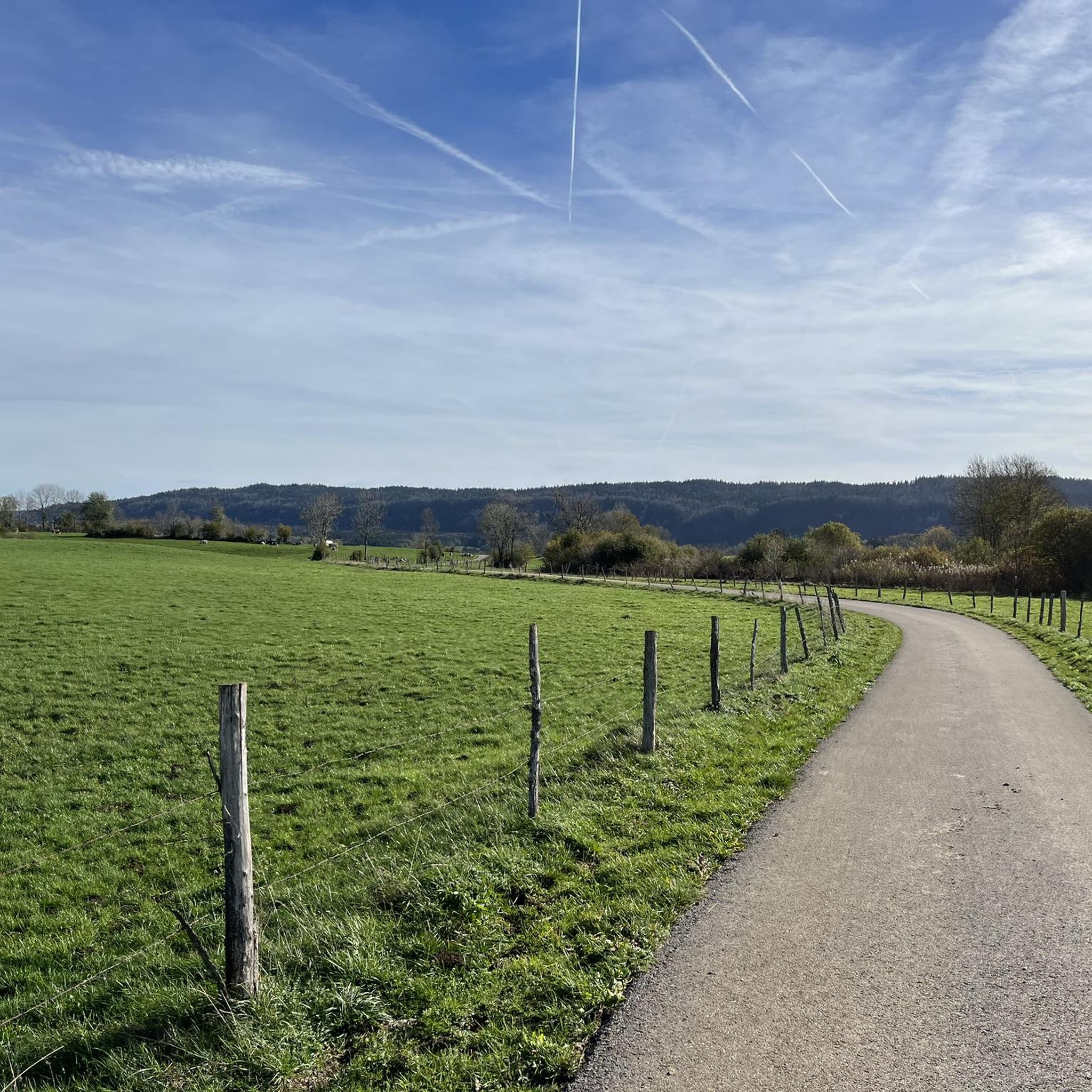
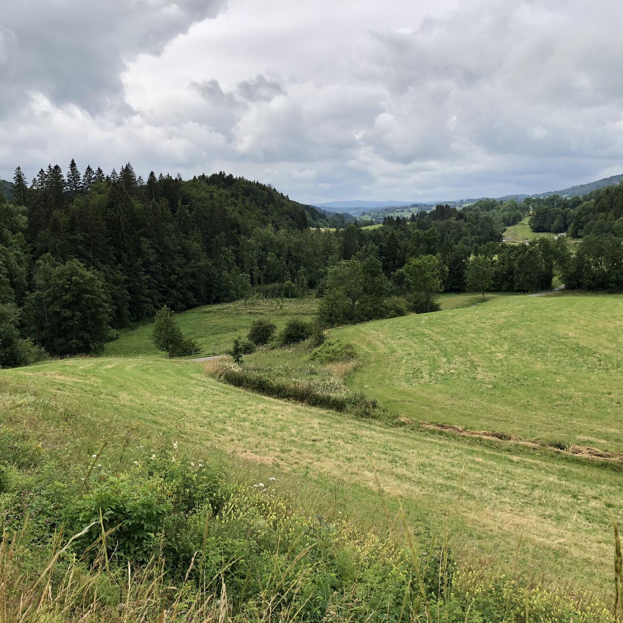
アルシュール=アルシュレット周辺のグラベルサイクリングは、ジュラ山脈内で、森、谷、水域が混在する多様な景観を提供します。地形は起伏に富み、一部のルートにはかなりの上り坂があり、オフロードサイクリングに適した遊歩道のネットワークがあります。サイクリストは、石畳のトレイル、農道、緑道、林道などを走ることが予想されます。この地域の自然環境は、ドゥー川を含む湖や川の近くのエリアを探索する機会を提供します。
アルシュール=アルシュレット周辺の最高のグラベルバイクトレイル
- 最も人気のあるグラベルバイクトレイルは、所要時間2時間42分、距離22.5マイル(36.3 km)のシャペル=デ=ボワ~シャペル=デ=ボワ周回コース(プチ=ショール発)です。このルートは、挑戦的な上り坂と変化に富んだ路面が特徴です。
- 地元のグラベルバイカーに人気のもう一つのコースは、所要時間2時間42分、距離26.9マイル(43.3 km)の難易度の高いムート~コルド・デ・ランドーズ=ヌーヴ周回コース(ムート発)です。このトレイルは起伏のある丘陵地帯を走り抜け、山岳パスを含む広大な景色を提供します。
- 地元のグラベルバイカーに愛されているのは、所要時間約1時間23分、距離12.3マイル(19.8 km)のシャペル=デ=ボワ~シャペル=デ=ボワ周回コース(フォンシーヌ=ル=オー発)で、木々が生い茂るエリアを抜けていきます。
- アルシュール=アルシュレット周辺のグラベルサイクリングは、起伏に富んだ地形、林道、そして開けた景観によって特徴づけられます。このネットワークは、中級から上級まで、さまざまなレベルのサイクリストに対応するオプションを提供します。
- アルシュール=アルシュレットのルートは、komootコミュニティから高く評価されており、6件以上のレビューで平均4.6つ星を獲得しています。17人以上のグラベルバイカーがkomootを利用して、アルシュール=アルシュレットの多様な地形を探索しています。
最終更新日: 8月 26, 2026
4.8
(4)
13
ライダー
47.9km
03:22
860m
860m
難しいグラベルライド. 標準以上のフィットネスレベルが必要です。 全般的に舗装された状態です。あらゆるスキルレベルに適しています。
5.0
(1)
8
ライダー
19.6km
01:31
270m
270m
中程度のグラベルライド. ある程度のフィットネスレベルが必要です。 全般的に舗装された状態です。あらゆるスキルレベルに適しています。

無料新規登録
6
ライダー
27.0km
02:05
400m
400m
中程度のグラベルライド. ある程度のフィットネスレベルが必要です。 全般的に舗装された状態です。あらゆるスキルレベルに適しています。
3.7
(3)
8
ライダー
36.2km
02:25
520m
520m
難しいグラベルライド. 標準以上のフィットネスレベルが必要です。 全般的に舗装された状態です。あらゆるスキルレベルに適しています。
5.0
(1)
7
ライダー
43.5km
03:02
910m
910m
難しいグラベルライド. 標準以上のフィットネスレベルが必要です。 全般的に舗装された状態です。あらゆるスキルレベルに適しています。
さらに多くのルートや他のユーザーのおすすめ情報を確認できます。
無料新規登録
すでにアカウントをお持ちですか?
おすすめのツアーは他のkomootユーザーが実際に経験した何千ものアクティビティに基づいています。
無料アカウントで今日から始めよう
次の冒険が待っています。
ログインまたは登録
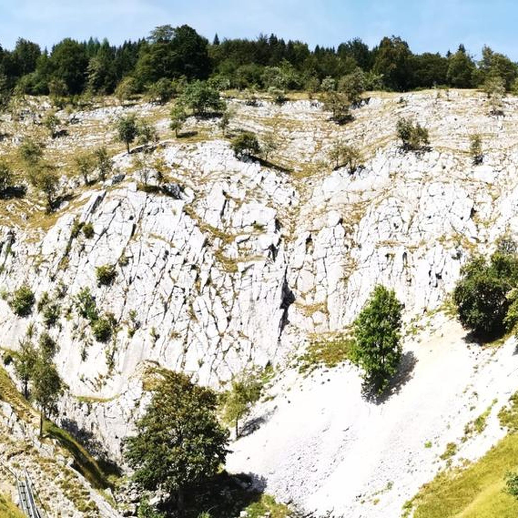
コミュニティからのヒント


Viewpoint above the Doubs source with beautiful views through a forest clearing to Mouthe and the Doubs river.
6
0
The source of the Doubs River is a powerful karst spring in a heavily karstified area of the Jura Mountains. It lies at an altitude of 937 meters at the foot of the forested, up to 1,419-meter-high Mont Risoux mountain range, which straddles the border between France and Switzerland. The Doubs River rises from a small, approximately five-meter-deep spring basin in a cave in the rock.
6
0
The Bief de la Ruine waterfall is located in the spectacular Malvaux Gorge. One of the most astonishing features of this waterfall is the fact that it only comes alive after heavy rainfall or during snowmelt. When it dries, it gives way to the spectacle of the carved stone, revealing the "Creux des Joyaux," a natural cave where the water swirls with varying degrees of vigor, polishing a multitude of limestone pebbles thanks to the force of its current.
7
0

アルシュール-アルシュレットでのの人気観光スポット

komootモバイルアプリでインスピレーションを得よう


さらに探索
他の地域の最高のグラベルライドを見てみましょう。
