コールヒルでののおすすめグラベルライド
4.5
(88)
639
ライダー
68
ライド
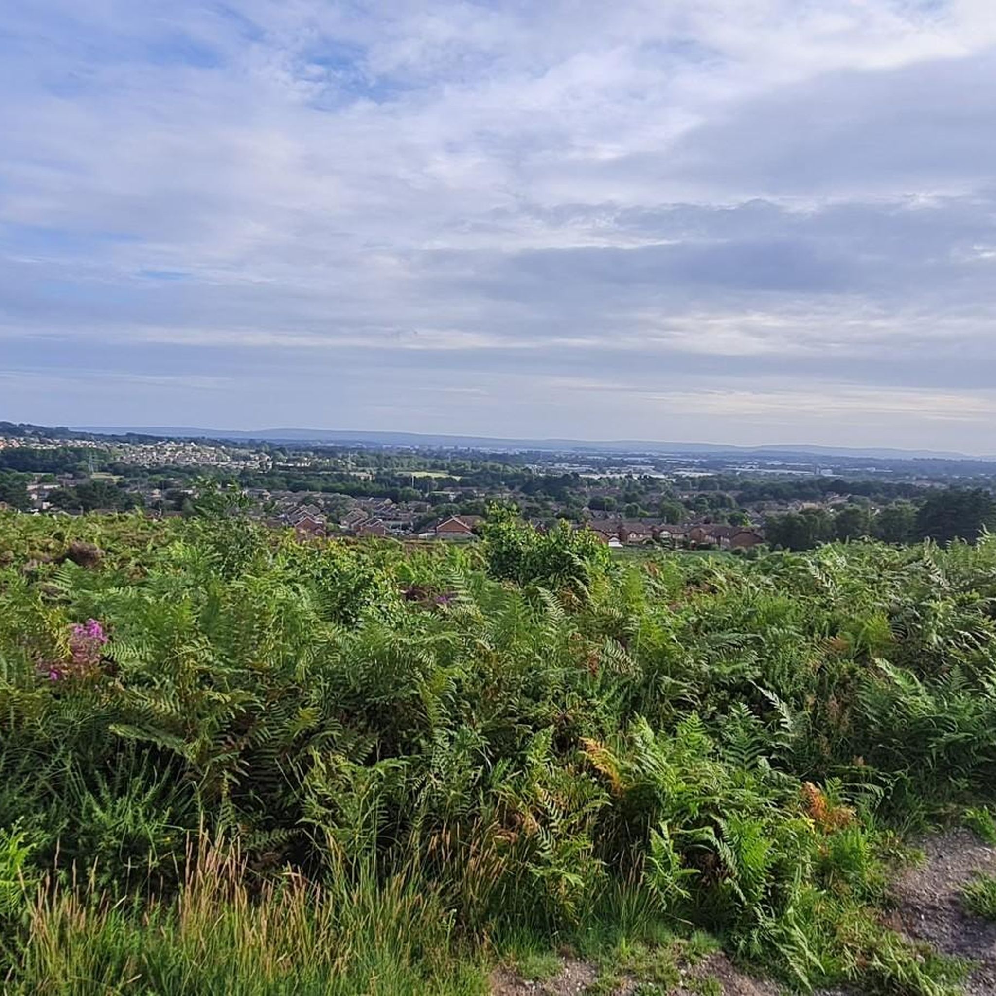
Gravel biking around Colehill traverses a landscape characterized by its position within the South West Hampshire/South East Dorset Green Belt. The area features varied topography, including the undulating Colehill Ridge and the Cannon Hill Forestry Plantation, which offers a network of trails. Common land and nature reserves like Leigh Common provide additional natural features for exploration. This setting within Dorset offers diverse terrain, from field edge gravel to potential disused railway lines, suitable for gravel cycling.
Best gravel bike trails…
最終更新日: 10月 6, 2026
4.0
(1)
20
ライダー
21.3km
01:30
70m
70m
初級者向けグラベルライド. あらゆるフィットネスレベルに適しています。 全般的に舗装された状態です。あらゆるスキルレベルに適しています。
4.1
(7)
17
ライダー
22.6km
01:24
120m
120m
初級者向けグラベルライド. あらゆるフィットネスレベルに適しています。 全般的に舗装された状態です。あらゆるスキルレベルに適しています。

7
ライダー
16.6km
01:07
60m
60m
初級者向けグラベルライド. あらゆるフィットネスレベルに適しています。 全般的に舗装された状態です。あらゆるスキルレベルに適しています。
5.0
(1)
5
ライダー
27.6km
01:57
160m
160m
中程度のグラベルライド. ある程度のフィットネスレベルが必要です。 全般的に舗装された状態です。あらゆるスキルレベルに適しています。
5.0
(2)
12
ライダー
54.4km
03:17
420m
420m
中程度のグラベルライド. ある程度のフィットネスレベルが必要です。 全般的に舗装された状態です。あらゆるスキルレベルに適しています。
さらに多くのルートや他のユーザーのおすすめ情報を確認できます。
すでにアカウントをお持ちですか?
おすすめのツアーは他のkomootユーザーが実際に経験した何千ものアクティビティに基づいています。
無料アカウントで今日から始めよう
次の冒険が待っています。
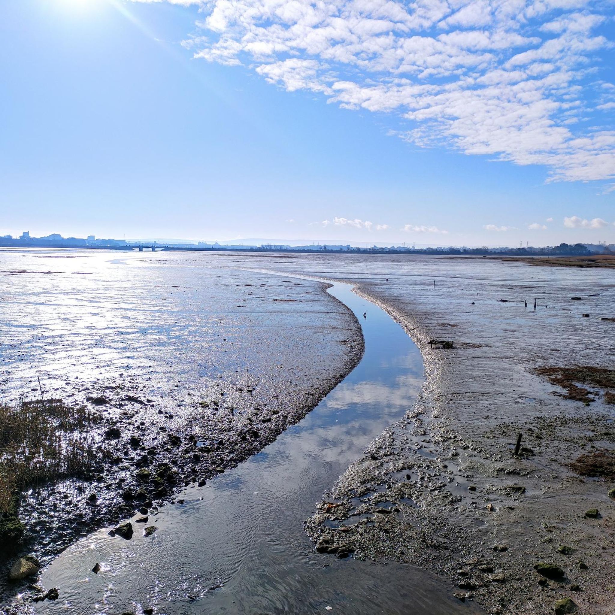
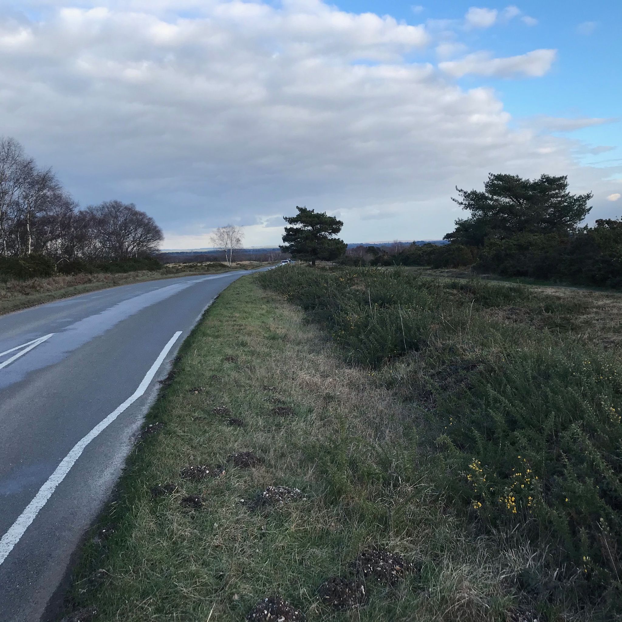
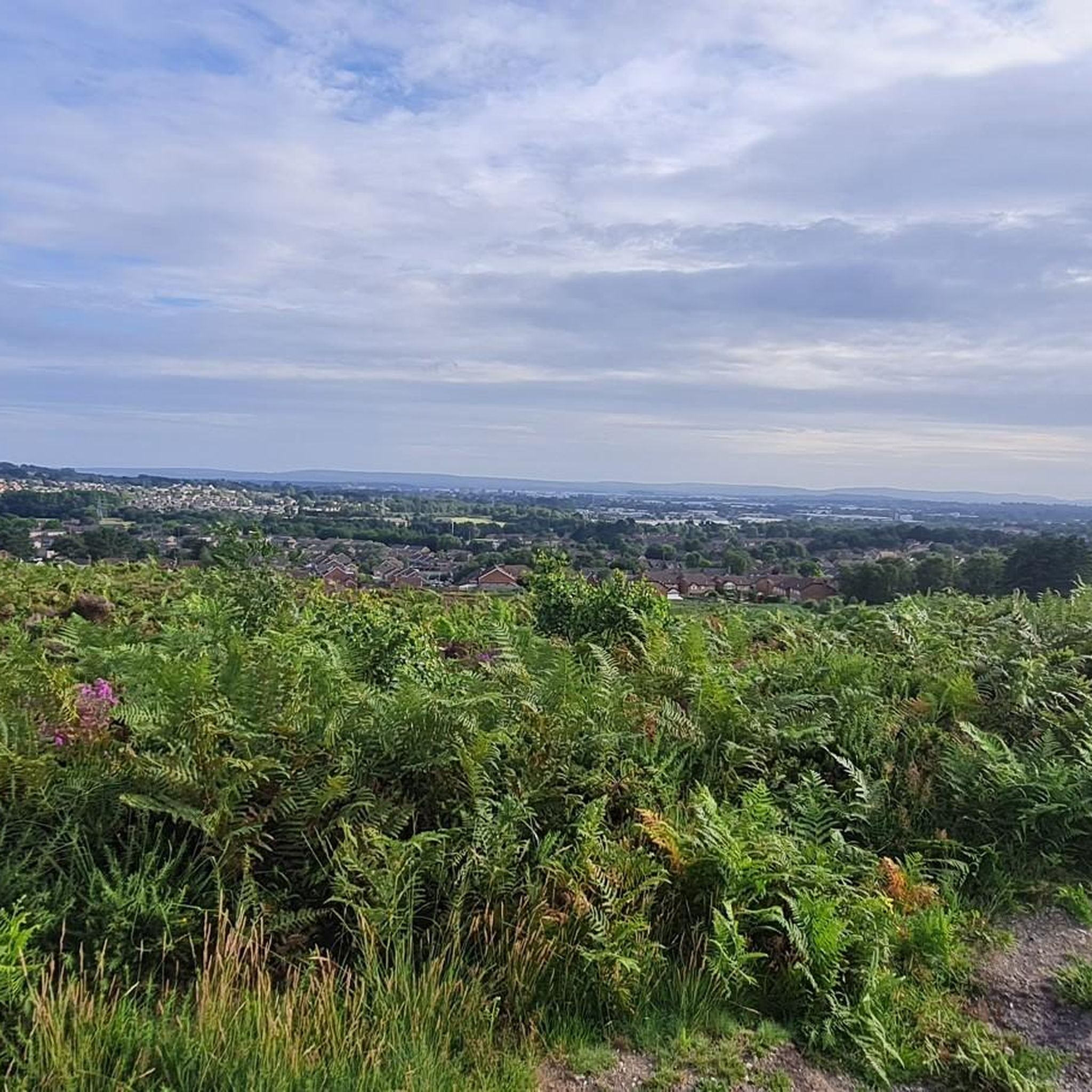
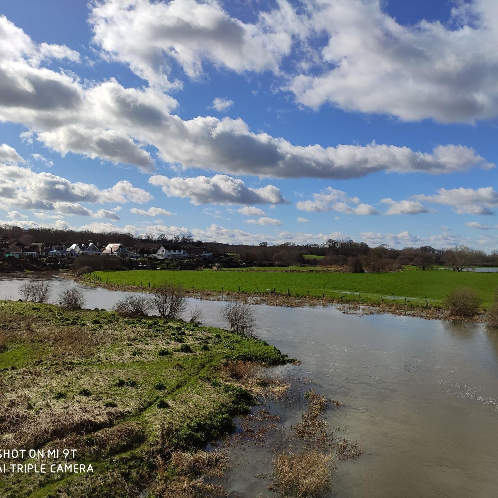
コミュニティからのヒント


全体的には素敵な場所ですが、ビジターセンターエリアは非常に混雑することがあります。最初はトレイルを見つけるのが少し難しいと感じました。「犬洗い場」を探し、そのすぐ後に「自転車レンタル」があります。これらはトレイルへのアクセスを見つけるための良い目印です。アクセスは、ビジターセンターの右側で、少し後ろにあります(駐車場からセンターに向かって見た場合)。また、センターからそれほど遠くないPotterne Parkに無料駐車場があることも注目に値します。
0
0

Historic Significance: It is a Grade I Listed Building (the highest level of protection), noted for its special architectural and historic interest. Age: The first record of the bridge dates back to 1334, suggesting its medieval origins, with parts of the current structure likely dating to the 15th century. Construction: It is built of coursed rubble and ashlar stone and features nine semi-circular arches. Widening: The bridge was widened in 1819. The upstream side is the original, medieval part and features triangular cut-waters which extend up to form pedestrian refuges. The downstream side is the later, plainer widening. Inscriptions: There is a reset stone on the east side of the bridge inscribed with the year 1719. Name Origin: The bridge is named Crawford Bridge because it carries the road from Spetisbury to Tarrant Crawford. The nearby area of Spetisbury was historically one of three manors, including Great Crawford.
0
0
Single lane beware of on coming vehicles
0
0


コールヒルでのの人気観光スポット

komootモバイルアプリでインスピレーションを得よう


さらに探索
他の地域の最高のグラベルライドを見てみましょう。
