シュヴァイベルガーボッシュでののおすすめグラベルライド
4.6
(298)
3,429
ライダー
76
ライド
komootがまとめたシュヴァイベルガーボッシュでののおすすめグラベルライドを参考にして、グラベルライドの魅力を最大限に楽しみましょう。難易度の高い登り坂や絶景のトレイルなど、あらゆるルートの中から厳選したシュヴァイベルガーボッシュでののグラベルライドをご覧ください。
最終更新日: 10月 5, 2026
5.0
(1)
23
ライダー
34.6km
02:15
430m
430m
中程度のグラベルライド. ある程度のフィットネスレベルが必要です。 全般的に舗装された状態です。あらゆるスキルレベルに適しています。
5.0
(1)
10
ライダー
30.8km
02:13
360m
360m
難しいグラベルライド. ある程度のフィットネスレベルが必要です。 ツアーの一部で自転車を押して歩く必要があるかもしれません。

5.0
(1)
27
ライダー
56.8km
03:27
730m
730m
難しいグラベルライド. 標準以上のフィットネスレベルが必要です。 ツアーの一部で自転車を押して歩く必要があるかもしれません。
5.0
(1)
8
ライダー
33.6km
02:03
290m
290m
中程度のグラベルライド. ある程度のフィットネスレベルが必要です。 全般的に舗装された状態です。あらゆるスキルレベルに適しています。
5.0
(4)
10
ライダー
17.6km
01:17
220m
220m
難しいグラベルライド. ある程度のフィットネスレベルが必要です。 ツアーの一部で自転車を押して歩く必要があるかもしれません。
さらに多くのルートや他のユーザーのおすすめ情報を確認できます。
すでにアカウントをお持ちですか?
おすすめのツアーは他のkomootユーザーが実際に経験した何千ものアクティビティに基づいています。
無料アカウントで今日から始めよう
次の冒険が待っています。
コミュニティからのヒント

伝説によれば、エマはシャルルマーニュの娘で、皇帝の側近であるアインハルトと恋に落ちていました。ある夜、彼女が彼の足跡を隠すために雪の中を彼を運んだとき、父親は彼らの秘密の関係を発見しました。19世紀には、この伝説はアイネブルクと結び付けられ、それ以来エマブルクとも呼ばれています。
1
0
アイネブルク(Eyneburg)、またはエンマブルク(Emmaburg)は、ゲール渓谷(Göhltal)を見下ろす木々に覆われた尾根の上に位置しています。フォン・アインベルク(von Eyneberghe)という貴族家系は、1260年に初めて文書で言及されました。1640年の火災の後、城は改築され、1897年からは大規模な改築が行われました。アイネブルクという名前は貴族家系に由来しており、エンマブルクという名称はカール大帝の娘エマに関する歴史的に証明されていない伝説に基づいています。
1
0

なぜこれはミリオンズ鉄道線路と呼ばれるのですか?まだ蒸気機関車が走っています。https://share.google/68W8acauP6FBn7D6l
0
0

見た目は素晴らしいですが、残念ながらここにはもう何も起こっていないようです。復活するといいのですが。
0
0


A pleasant tourist resort in the Heuvelland region with good infrastructure (supermarkets and many restaurants)
1
0
This railway viaduct, more than a kilometer long, spanning the Göhl valley is truly an impressive feat of engineering.
0
0

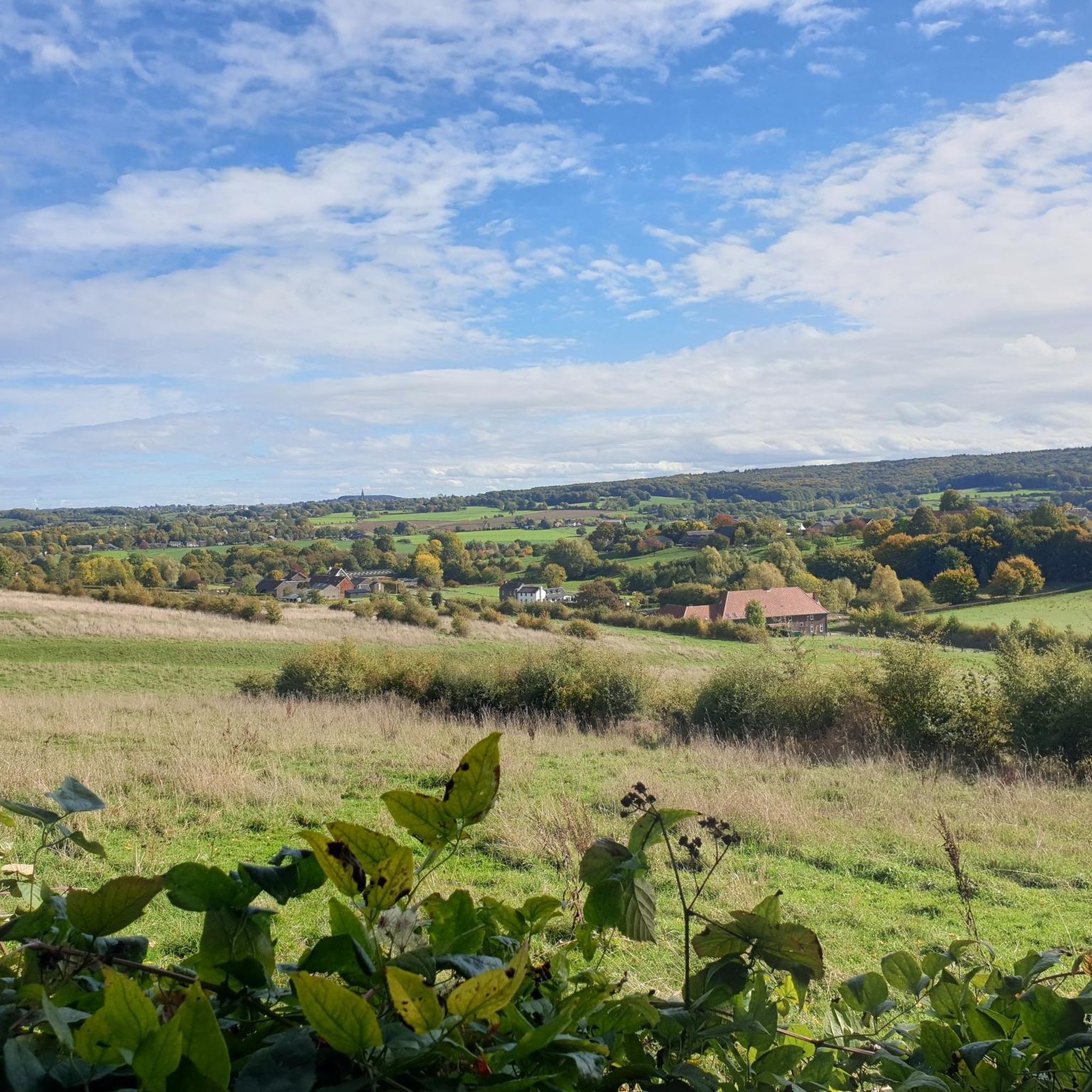
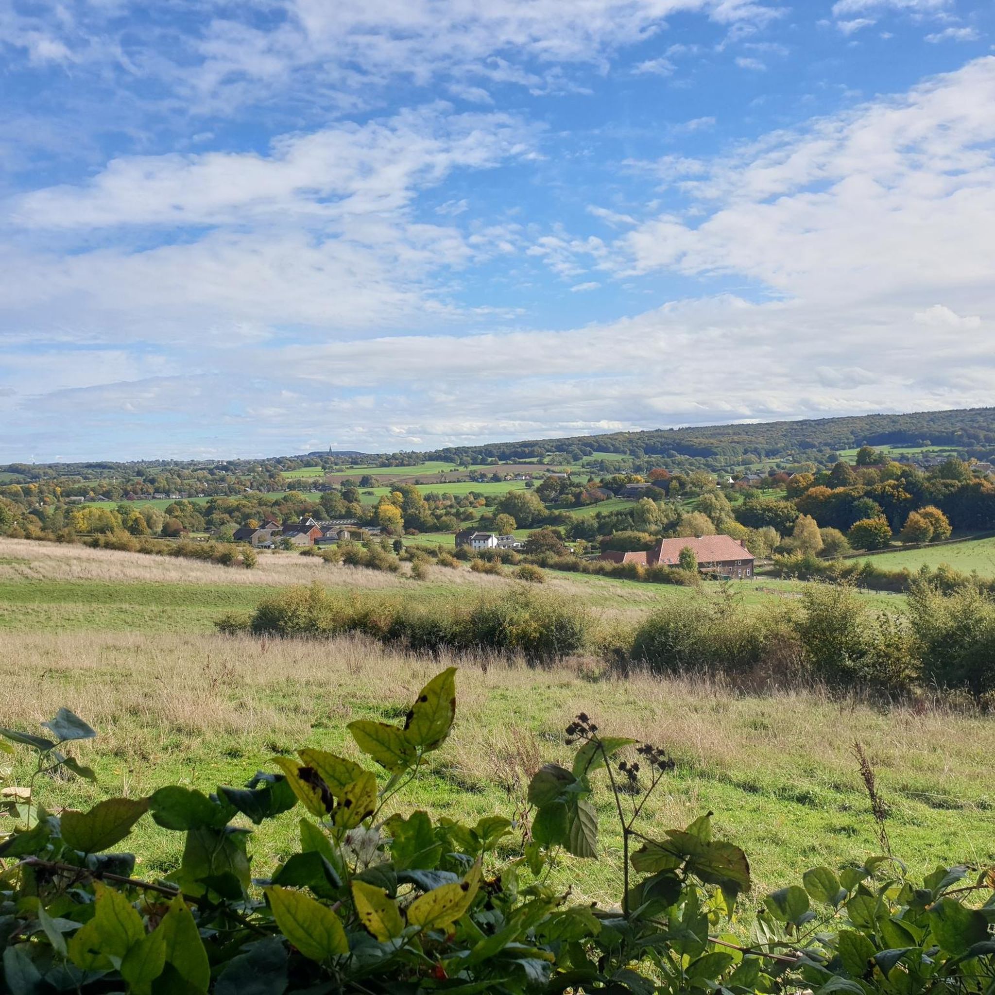
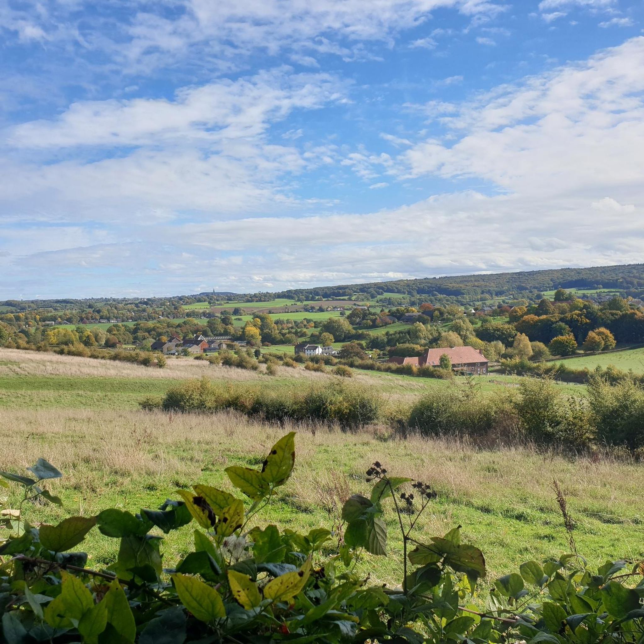
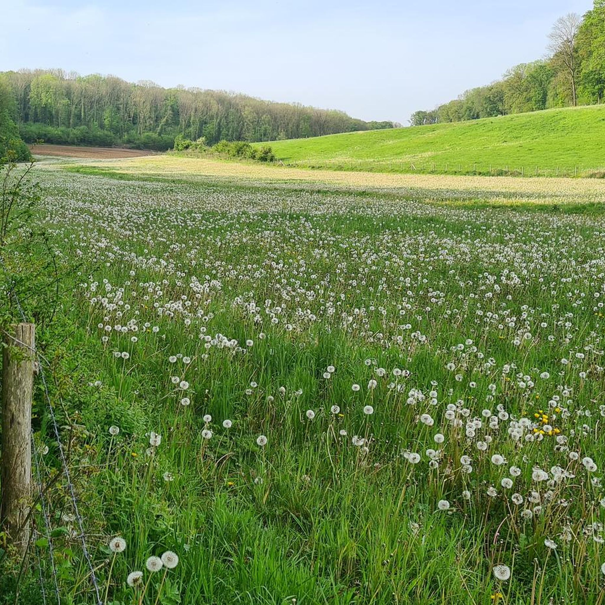
The village of Eys lies amidst the renowned hilly landscape of South Limburg, which distinguishes itself from the rest of the Netherlands with its rolling meadows, steep slopes, and panoramic vistas. From various hiking and cycling trails around Eys, you can experience beautiful views of the village and its surroundings, especially when you hike uphill and look out over the Eyserbeek valley, the surrounding fields, and sweeping slopes. One of the most famous spots for such a view is along the paths towards Eyserbosweg and Doeveberg, where hiking trails take you to points with open perspectives over Eys and the South Limburg landscape. From here, the green hills stretch out in all directions, offering views of meadows, forests, and sometimes even the region's vineyards. These panoramas are so beloved that they are often captured by photographers and artists as quintessential South Limburg landscapes that evoke the feeling of standing on a Tuscan hillside. Hiking trails like the Gulpen-Wittem Wi3 take you through the area around Eys, with frequent viewing points where you can stop to take photos or simply enjoy the view. On clear days, you can see far across the forests and hills, with the village of Eys itself forming part of the picturesque panorama that makes this region so popular with hikers and cyclists. Thanks to Eys's location on a ridge and the presence of natural contour lines, the area offers places where you can literally stand on top of the slope and look down on the village center and the surrounding valley. This makes the view one of the most beautiful features of the South Limburg landscape, a landscape often praised in hiking guides and artworks for its atmosphere and beauty.
0
0
シュヴァイベルガーボッシュでのの人気ルート
シュヴァイベルガーボッシュでのの人気観光スポット

komootモバイルアプリでインスピレーションを得よう


さらに探索
他の地域の最高のグラベルライドを見てみましょう。
