ガルザバイルでののおすすめグラベルライド
4.0
(4)
141
ライダー
10
ライド
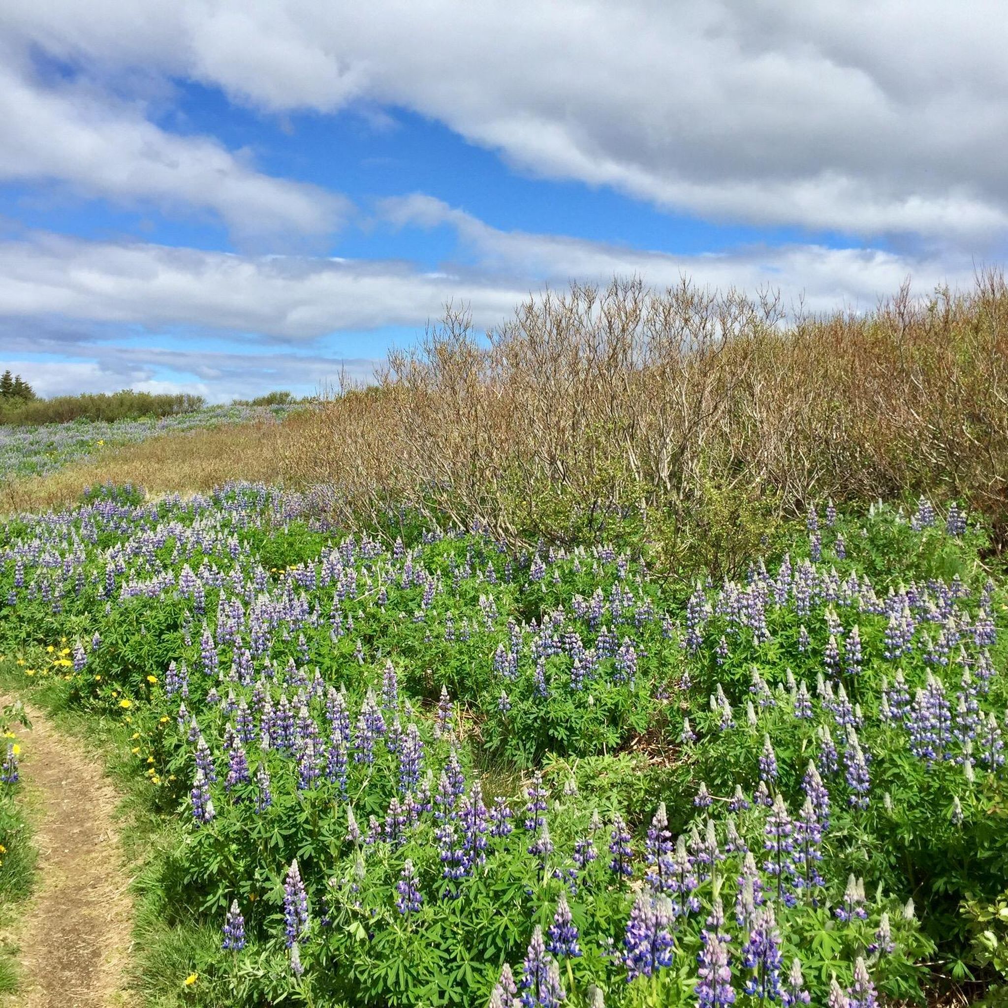
ガルダバエルでのグラベルバイクライドは、火山性の溶岩地帯、広大な森の小道、そして風光明媚な湖の景色を特徴とする景観が魅力です。この地域では、整備されたサイクリングロードから、ヘイザメルク自然保護区やガルダハラインの溶岩地帯のような自然地域を縫うように走るより険しいトレイルまで、様々な地形が楽しめます。標高の変化は概して穏やかで、ヴィフィルススタタ湖周辺やブゥルフェルスギャゥ溶岩の裂け目近くの小道など、この地域の多様な地質学的特徴にわたる変化に富んだライディング体験を提供します。
ガルダバエルのおすすめグラベルバイクコース
- 最も人気のあるグラベルバイクコースは、エリザヴァトン湖の眺め – ハーデギショゥラールからの森の小道ループで、所要時間2時間45分、距離25.4マイル(40.9 km)です。この適度な難易度のルートからはエリザヴァトン湖の景色を眺めることができ、森の小道を通ります。
- 地元のグラベルバイカーに人気のもう一つのコースは、エリザラrdalurサイクリングロード – コウパヴォグルスヴゥルルからのフォスヴォグスバッカールの難破船ループで、距離22.1マイル(35.7 km)の適度な難易度のコースです。このルートはサイクリングロードや海岸沿いを走ります。
- 地元のグラベルバイカーに愛されているもう一つのコースは、エリザヴァトン湖 – コウパヴォグルからの森の小道ループで、距離21.3マイル(34.4 km)、所要時間約2時間12分です。このコースは森の小道を通ってエリザヴァトン湖のそばを走ります。
- ガルダバエルでのグラベルバイクライドは、溶岩地帯、森の小道、サイクリングロードが特徴です。このネットワークは、初級、中級、上級の難易度レベルのオプションを提供しています。
- ガルダバエルのルートは、komootコミュニティから高い評価を得ており、数件のレビューから平均5.0つ星のスコアを獲得しています。200人以上のグラベルバイカーがkomootを利用して、ガルダバエルの変化に富んだ地形を探索しています。
最終更新日: 8月 26, 2026
65
ライダー
40.9km
02:45
350m
350m
中程度のグラベルライド. ある程度のフィットネスレベルが必要です。 全般的に舗装された状態です。あらゆるスキルレベルに適しています。
27
ライダー
35.7km
02:09
310m
310m
中程度のグラベルライド. ある程度のフィットネスレベルが必要です。 全般的に舗装された状態です。あらゆるスキルレベルに適しています。

無料新規登録
5.0
(1)
11
ライダー
34.7km
02:11
320m
320m
中程度のグラベルライド. ある程度のフィットネスレベルが必要です。 全般的に舗装された状態です。あらゆるスキルレベルに適しています。
8
ライダー
17.7km
00:59
190m
190m
中程度のグラベルライド. ある程度のフィットネスレベルが必要です。 全般的に舗装された状態です。あらゆるスキルレベルに適しています。
5.0
(1)
9
ライダー
25.8km
01:41
190m
190m
中程度のグラベルライド. ある程度のフィットネスレベルが必要です。 全般的に舗装された状態です。あらゆるスキルレベルに適しています。
3.0
(1)
9
ライダー
61.5km
03:32
470m
470m
難しいグラベルライド. 標準以上のフィットネスレベルが必要です。 ツアーの一部で自転車を押して歩く必要があるかもしれません。
4
ライダー
25.7km
01:45
250m
250m
中程度のグラベルライド. ある程度のフィットネスレベルが必要です。 全般的に舗装された状態です。あらゆるスキルレベルに適しています。
4
ライダー
19.1km
01:07
180m
180m
中程度のグラベルライド. ある程度のフィットネスレベルが必要です。 全般的に舗装された状態です。あらゆるスキルレベルに適しています。
2
ライダー
15.8km
00:59
130m
130m
初級者向けグラベルライド. あらゆるフィットネスレベルに適しています。 全般的に舗装された状態です。あらゆるスキルレベルに適しています。
3.0
(1)
2
ライダー
39.5km
02:19
400m
400m
中程度のグラベルライド. ある程度のフィットネスレベルが必要です。 全般的に舗装された状態です。あらゆるスキルレベルに適しています。
おすすめのツアーは他のkomootユーザーが実際に経験した何千ものアクティビティに基づいています。
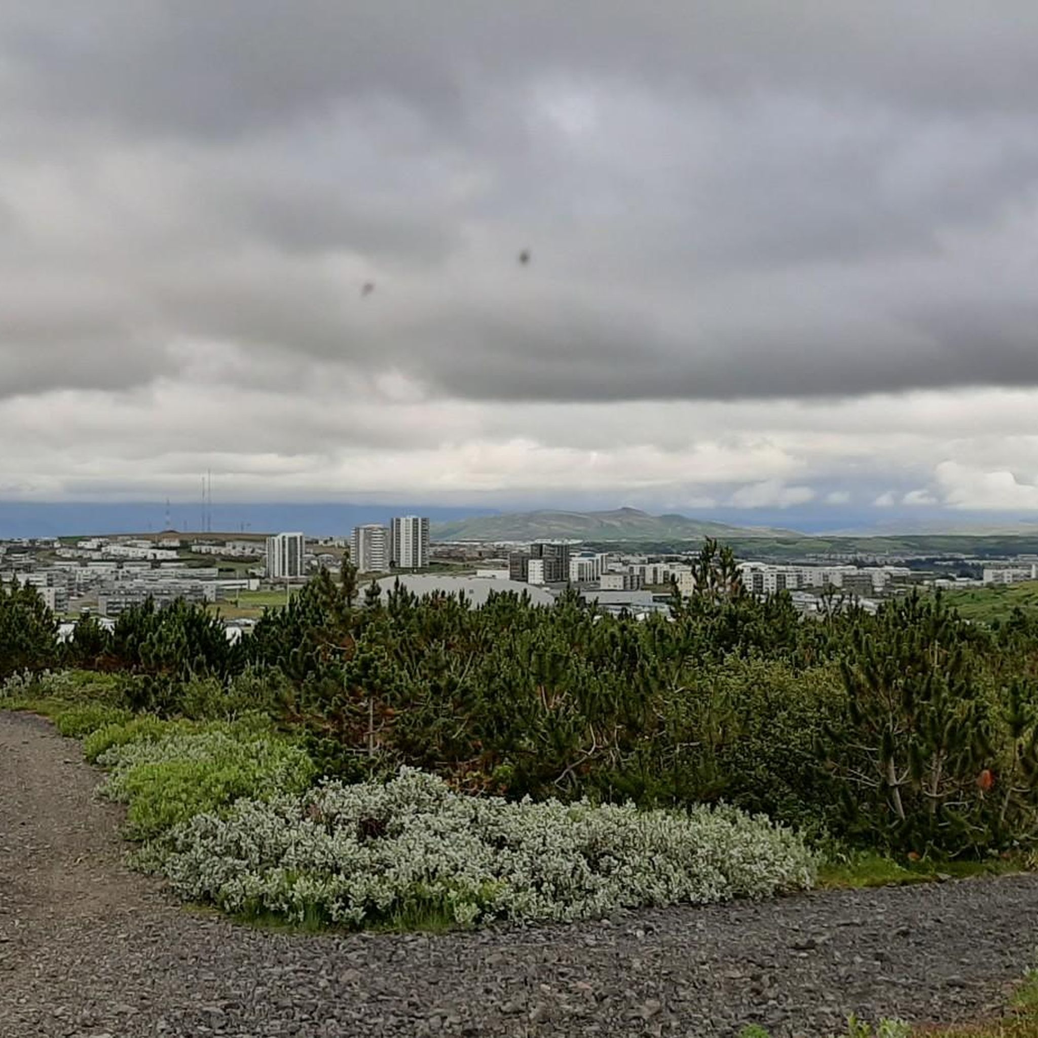
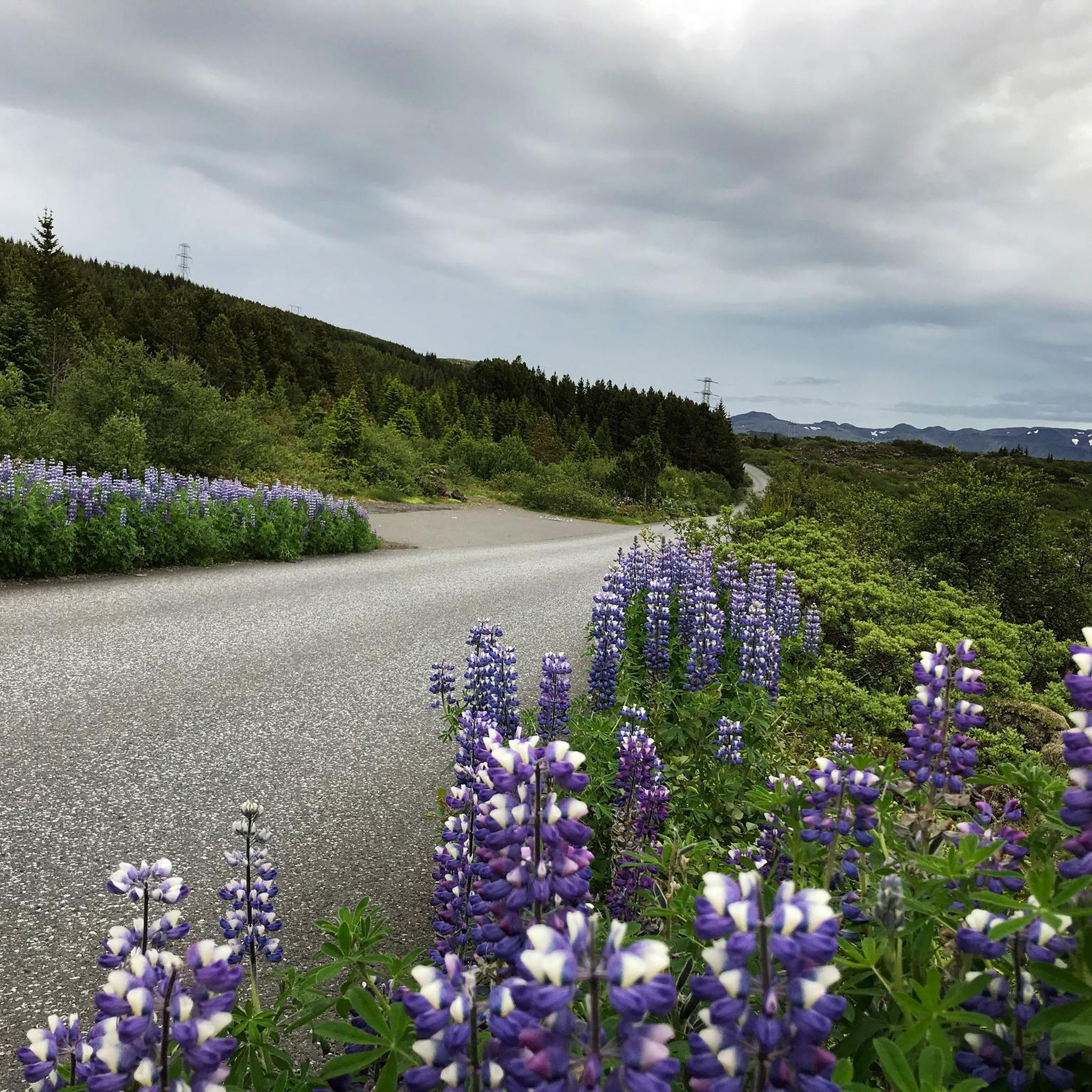
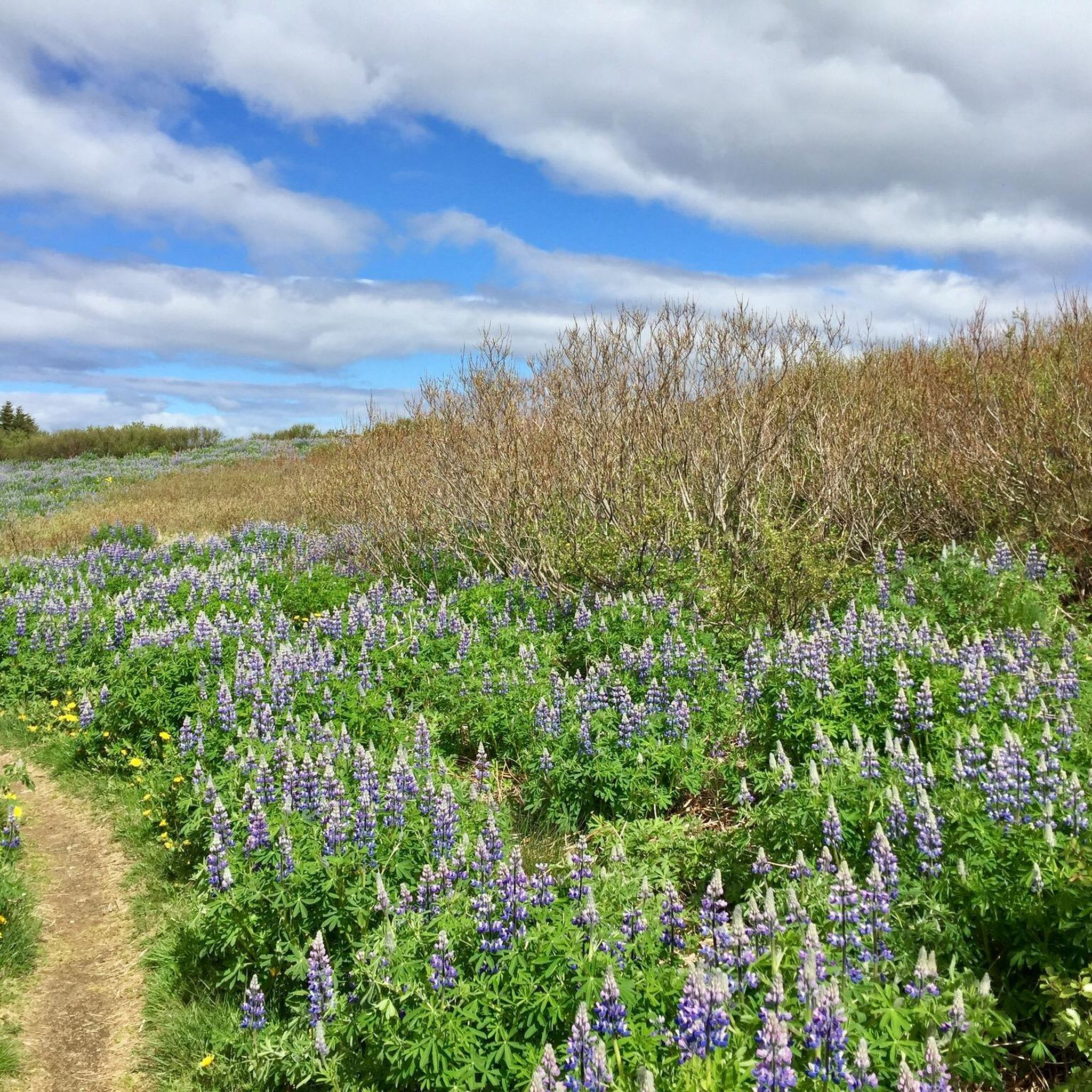
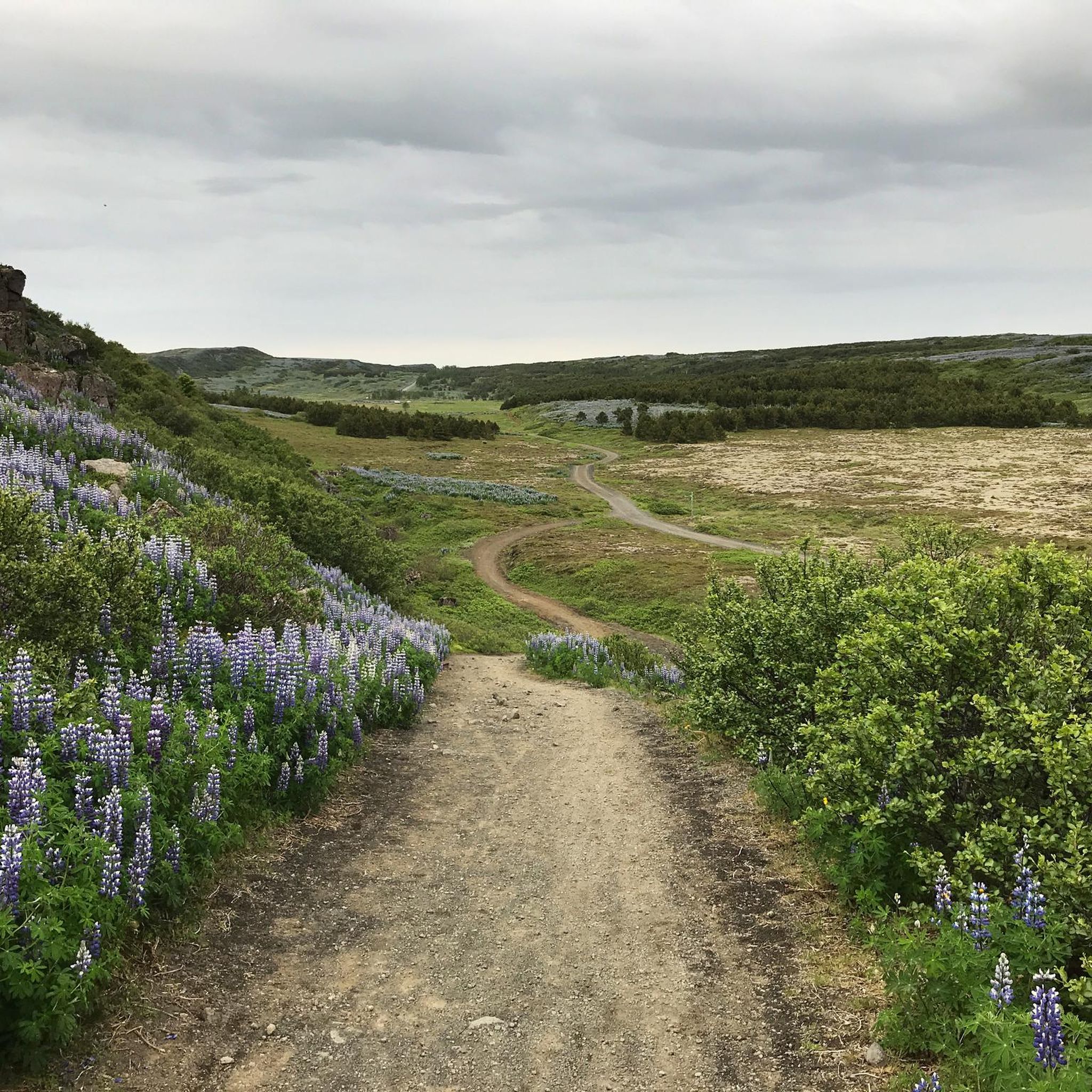
コミュニティからのヒント


Good view over the harbour in a bit dull surroundings.
1
0
If you take a stroll along the Ægisida, where locals all year round and tourists in the summer season like to walk, you’ll at some point come across a tangled shape of bronze rising from a pile of boulders. At first perhaps you won’t even pay much attention to it, with the complicity of the beautiful seascape, especially in the high tide. It took me some time to get used to that weird bronze shape placed in the vicinity of an improvised football field; the very first time, from a huge distance, it looked to me like – I admit it with a little embarrassment – a wolf howling at the sky. (https://icelandchronicles.org/2010/10/the-rescue/)
1
0
Due to the inflow of warm water from geothermal springs, the bathing temperature in the bay is comparatively pleasant.
1
0

Álafoss is a waterfall on the Varmá River in Mosfellsbær in the capital region of Iceland. In 1896, a hydroelectric wool factory was named after this waterfall. Today, only a wool and knitwear shop remains here. Since April 2013,[1] the waterfall and its small 14,000 m² surrounding area have been protected. Downstream of the waterfall, a former swimming pool has been converted into the Sundlaugin (Icelandic: The Swimming Pool) recording studio, where the band Sigur Rós recorded, among other things, their album "( )", the fifth track of which is titled "Álafoss".
1
0
As of August 18, 2025: Iceland experienced its twelfth volcanic eruption in just over four years. On the sparsely populated Reykjanes Peninsula, southwest of Reykjavik, the earth opened up again on Wednesday, July 16. Since Tuesday, August 5, no more lava has been escaping from the eruption fissure located approximately seven kilometers northeast of Grindavik. Volcanologists believe it is highly likely that the eruption has ended for the time being. The temporarily closed campsite in the town of Grindavik is now freely accessible again.
1
0

An old narrow-gauge locomotive used in the early 20th century to transport materials from the port during the construction of docks and dikes. Restored and displayed outdoors in the port area, it is a small testament to the city's industrial history and a nod to the era when the railway, albeit briefly, was present in Iceland.
0
0
Old houses and fishing boats have been converted into a lively waterfront neighborhood. Among the colorful facades, you'll find fresh seafood restaurants, cozy cafes, and local shops. From here, you have direct views of the harbor and bay, with the murmur of boats in the background. Ideal for strolling, eating well, and experiencing Reykjavik's nautical atmosphere.
0
0
ガルザバイルでのの人気観光スポット

komootモバイルアプリでインスピレーションを得よう


探していたものは見つかりませんでしたか?
ガルザバイルの下にある他のグラベルライドをチェックして、目的地で完璧なルートを見つけましょう。
さらに探索
他の地域の最高のグラベルライドを見てみましょう。
