クリフテルでののおすすめグラベルライド
4.4
(396)
2,348
ライダー
189
ライド
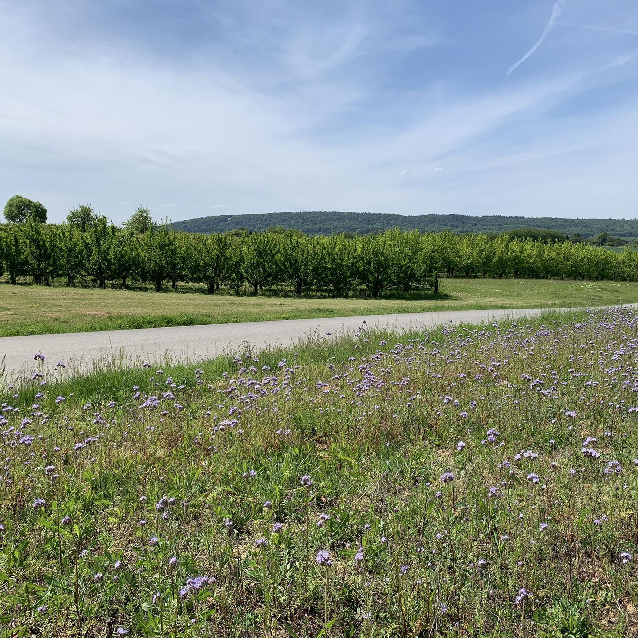
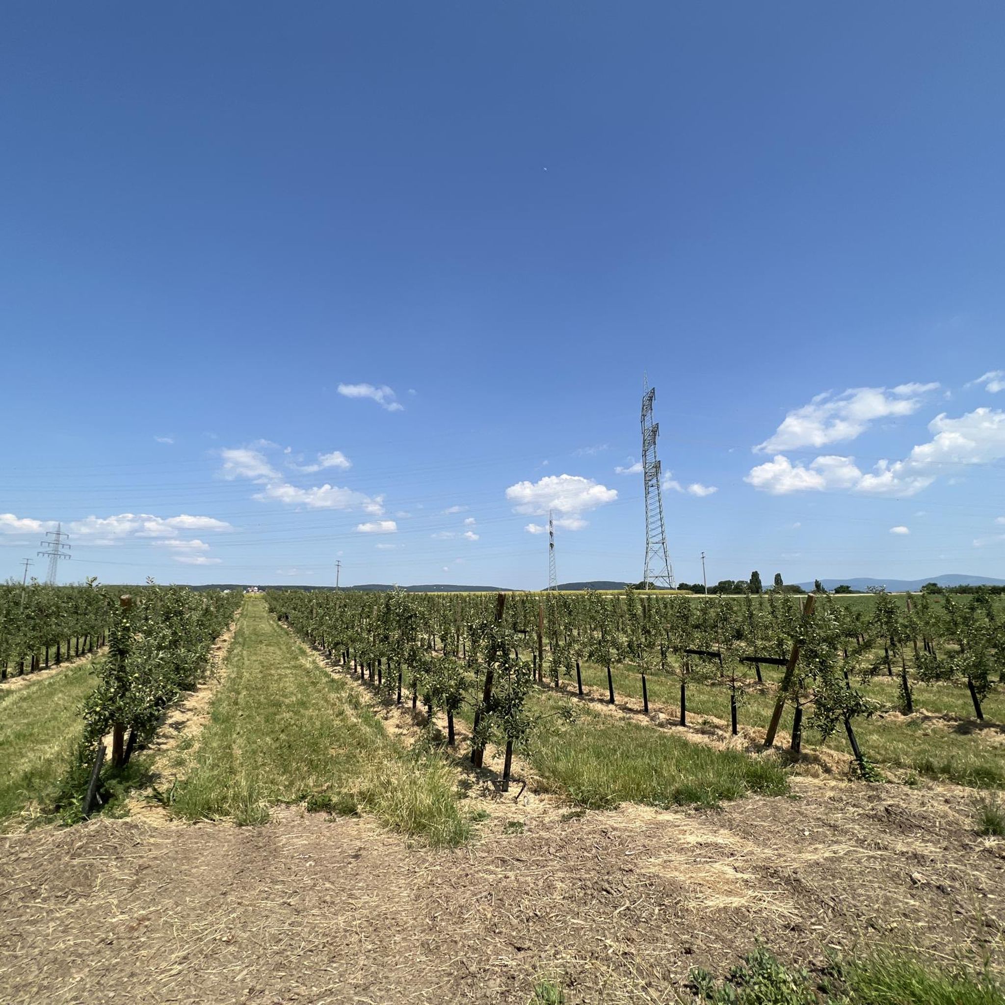
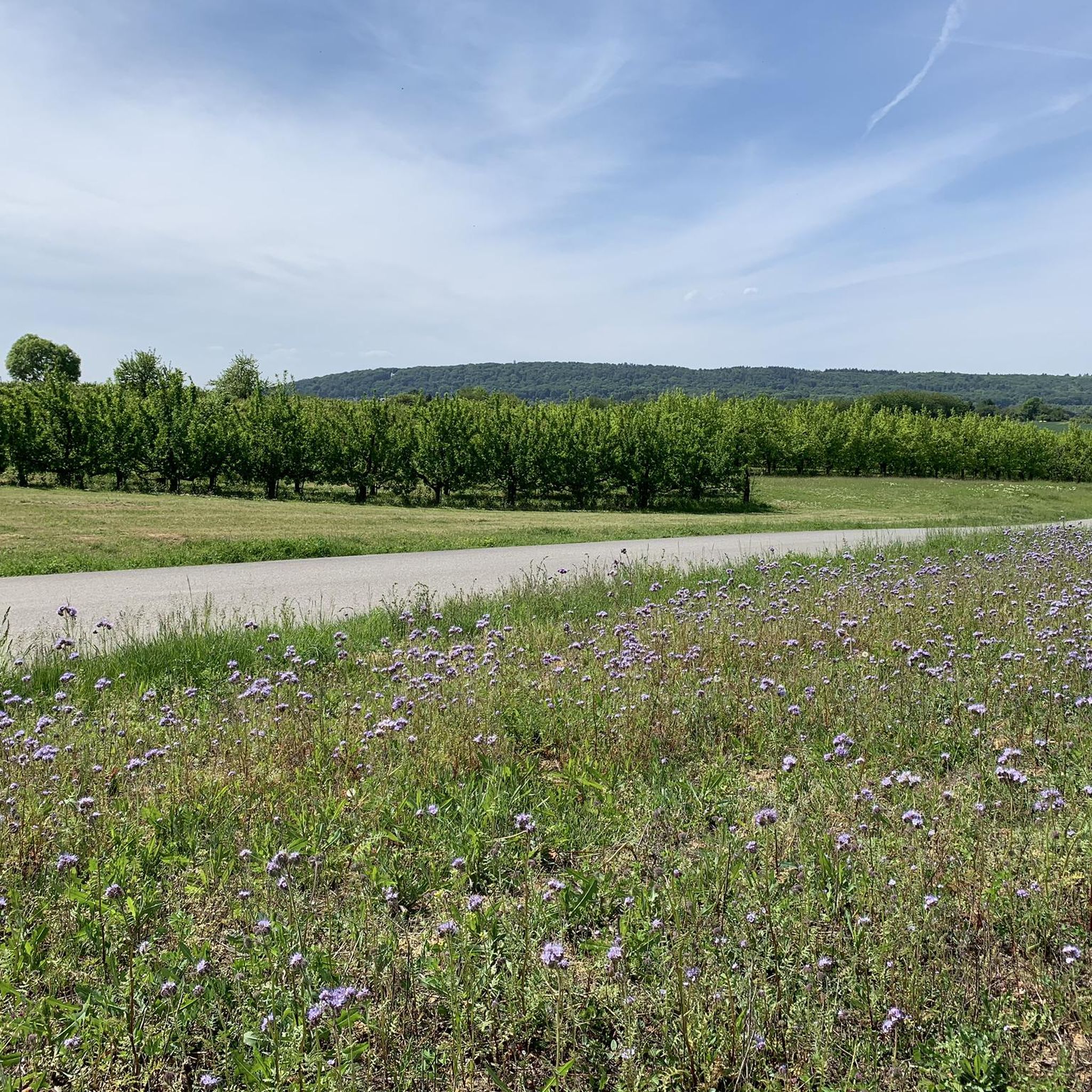
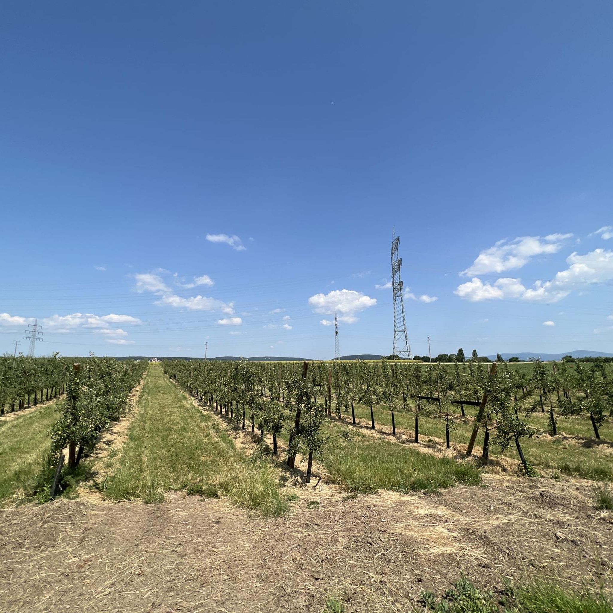
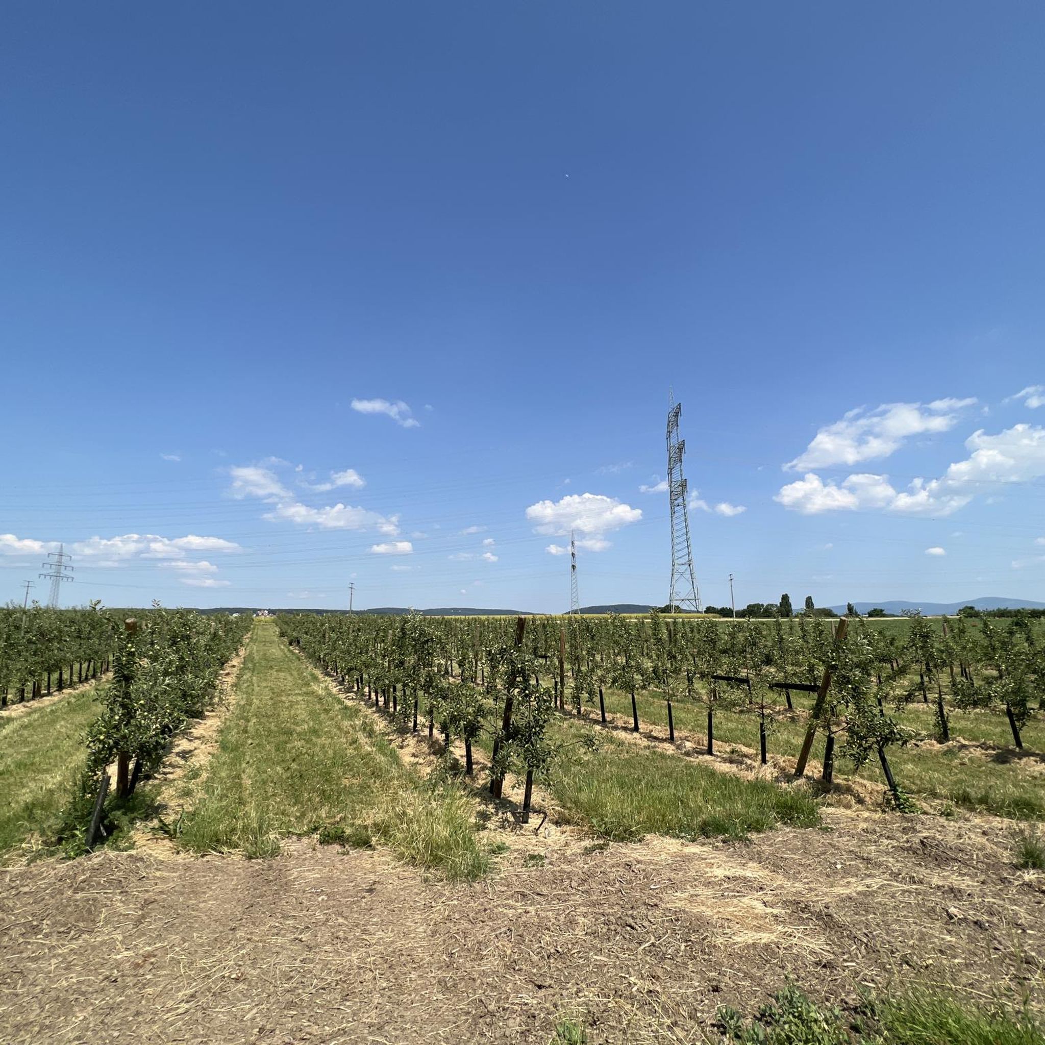
グラベルバイクでクリフトル周辺を走ると、森林の小道、田舎道、川沿いのトレイルが組み合わさった多様な地形を楽しめます。この地域は、緑の野原、広大な果樹園、そしてマイン川の氾濫原とニッダ・サイクリングロードの近さが特徴です。平坦な川沿いのルートから、タウヌス山脈の景色を望むトレイルまで、変化に富んだ景観を体験できます。このエリアは、自然の風景と様々なスキルレベルに対応できるアクセスしやすいルートが融合しています。
クリフトル周辺の最高のグラベルバイクコース
- 最も人気のあるグラベルバイクコースは、クリフトル発の Lake Grundwiese – Gundwiesen Lake loop from Kriftel で、距離は30.9マイル(49.7 km)、所要時間は2時間29分です。この中程度の難易度のルートは、地域の湖と周囲の緑豊かな風景を巡ります。
- 地元のグラベルバイカーに人気のもう一つのコースは、クリフトル発の Flörsheimer Watchtower – Boardwalk Niederwiesen loop from Kriftel で、距離は33.0マイル(53.1 km)の中程度の難易度のトレイルです。このルートは、マイン川の氾濫原の景色を望む変化に富んだ地形を提供します。
- 地元のグラベルバイカーに愛されているのは、クリフトル発の Fuchstanz: The Forest Inn – Großer Feldberg Summit loop from Kriftel で、距離は26.2マイル(42.2 km)です。タウヌス山脈を通り抜け、かなりの高低差があるこのトレイルは、通常約2時間47分で完了します。
- クリフトル周辺のグラベルバイクは、緑の野原、森、そしてマイン川の氾濫原とニッダ・サイクリングロード沿いの広範なトレイルネットワークが特徴です。このネットワークは、果樹園を抜けるゆったりとしたライドから、高低差のあるより挑戦的なルートまで、様々なスキルレベルに対応するオプションを提供しています。
- クリフトルのルートは、komootコミュニティから高く評価されており、200件以上のレビューから平均4.5つ星のスコアを獲得しています。1,800人以上のグラベルバイカーがkomootを利用して、クリフトルの多様な地形を探索しています。
最終更新日: 10月 8, 2026
4.9
(7)
170
ライダー
75.6km
04:42
850m
850m
難しいグラベルライド. 標準以上のフィットネスレベルが必要です。 全般的に舗装された状態です。あらゆるスキルレベルに適しています。
4.4
(9)
161
ライダー
57.9km
03:19
540m
540m
難しいグラベルライド. 標準以上のフィットネスレベルが必要です。 全般的に舗装された状態です。あらゆるスキルレベルに適しています。

4.3
(22)
143
ライダー
50.1km
02:30
130m
130m
中程度のグラベルライド. ある程度のフィットネスレベルが必要です。 全般的に舗装された状態です。あらゆるスキルレベルに適しています。
4.0
(1)
18
ライダー
33.9km
02:18
500m
500m
難しいグラベルライド. 標準以上のフィットネスレベルが必要です。 全般的に舗装された状態です。あらゆるスキルレベルに適しています。
19
ライダー
24.5km
01:46
540m
540m
難しいグラベルライド. 標準以上のフィットネスレベルが必要です。 全般的に舗装された状態です。あらゆるスキルレベルに適しています。
さらに多くのルートや他のユーザーのおすすめ情報を確認できます。
すでにアカウントをお持ちですか?
おすすめのツアーは他のkomootユーザーが実際に経験した何千ものアクティビティに基づいています。
無料アカウントで今日から始めよう
次の冒険が待っています。
コミュニティからのヒント

かつての監視塔であったフローシェイマー・ヴァルテは、15世紀にはマインツ大司教区がライン川右岸の領土を保護するために建設したカステルラントヴェーアの一部でした。世俗化(1803年)の後、防衛すべきものがほとんどなくなったため、ラントヴェーアはその重要性を失いました。 フローシェイマー・ヴァルテは次第に廃墟と化しました。1996年には、中世の監視塔の遺構の隣に、歴史的な模範に基づいた再建がなされました。ここからは、ラインガウやタウヌス地方、そしてフランクフルトのスカイラインまで、四方への壮大なパノラマビューが楽しめます。 ブドウ畑と週末のウィンターラウンジを備えた人気の行楽地「フローシェイマー・ヴァルテ」では、シュプンデケーゼ、ハントケーゼ、そしてバイエルン風サラダを提供しており、ヴィッカーとホーホハイムのブドウ畑からの最高のワインと共に楽しめます。詳細はこちら: https://www.rheingau.com/infosystem/floersheimer-warte/poi.html。
1
0


このルートが私のお気に入りである理由はいくつかあります。a) 素晴らしい眺め、b) 静か c) 日中は(雲の具合が良ければ)ほぼ常に日当たりの良い場所です。
1
0

Thanks to the helper from RC Hattersheim who tirelessly warned about the hairpin bend.
0
0

This is the Kelsterbach Canoe Club. Below is some information from the club. Our club is dedicated to promoting canoeing and kayaking for recreational and amateur athletes – entirely on a volunteer and non-profit basis. We do not offer canoe rentals or guided tours. However, anyone interested in canoeing is warmly invited to visit us during our training sessions and participate in a free introductory session. This is a great way to get to know our sport and our club without any obligation!
4
0

Great for blasting through
0
0
On June 24, 2022, the new St. John's Chapel at the Gimbach farm was consecrated. As an introduction and reminder: The first stone evidence of a sacred site dates back to the sixth century. For centuries, various buildings stood here, including a chapel, which was only demolished at the beginning of the 19th century. Processions and pilgrimages to this site have been documented since around 1650 and are still carried out today. Drawings, paintings, and map entries of the structures have also existed for centuries. (A brief note regarding various images and depictions from that time: For artistic reasons, the background, e.g., the 451-meter-high Staufen mountain, was moved to a different location to fit the overall picture.) Around 1912, the Pfeffer family, and subsequently the Schiela family, considered rebuilding the demolished chapel. They even collected existing building materials. But it wasn't until about 100 years later, around 2010, that the idea of building a pilgrimage site or shrine was revived, albeit somewhat circuitously: Mrs. Schiela's husband was visiting a doctor in Flörsheim when he spoke with a relative. One topic of conversation was a prayer room in Gimbach. Through the doctors, Dr. Betina Kilb-Fessler and Dr. Joachim Fessler, I, Helmut Mohr, was approached as a friend and architect, as I had been involved with church construction and renovations in the Main-Taunus district since 1983. Contact with Mrs. Schiela and her sister then led to the coordination and work that culminated in the project, the results of which can be seen here.
4
0
From the Meisterturm tower, you have a magnificent panoramic view of the entire Rhine-Main region, the Taunus mountains, and the surrounding area. Truly beautiful! 🤩
13
2

komootモバイルアプリでインスピレーションを得よう


さらに探索
他の地域の最高のグラベルライドを見てみましょう。
