ブラウンラーゲでののおすすめグラベルライド
4.6
(129)
865
ライダー
58
ライド
komootがまとめたブラウンラーゲでののおすすめグラベルライドを参考にして、グラベルライドの魅力を最大限に楽しみましょう。難易度の高い登り坂や絶景のトレイルなど、あらゆるルートの中から厳選したブラウンラーゲでののグラベルライドをご覧ください。
最終更新日: 10月 19, 2026
4.5
(16)
145
ライダー
67.5km
04:49
1,410m
1,410m
難しいグラベルライド. 標準以上のフィットネスレベルが必要です。 ツアーの一部で自転車を押して歩く必要があるかもしれません。
4.5
(6)
92
ライダー
52.1km
03:11
650m
650m
難しいグラベルライド. 標準以上のフィットネスレベルが必要です。 全般的に舗装された状態です。あらゆるスキルレベルに適しています。

4.3
(6)
52
ライダー
43.1km
02:50
780m
780m
難しいグラベルライド. 標準以上のフィットネスレベルが必要です。 ツアーの一部で自転車を押して歩く必要があるかもしれません。
4.5
(2)
27
ライダー
79.7km
05:41
1,620m
1,620m
難しいグラベルライド. 標準以上のフィットネスレベルが必要です。 ツアーの一部で自転車を押して歩く必要があるかもしれません。
4.0
(2)
19
ライダー
64.5km
04:35
1,280m
1,280m
難しいグラベルライド. 標準以上のフィットネスレベルが必要です。 ツアーの一部で自転車を押して歩く必要があるかもしれません。
さらに多くのルートや他のユーザーのおすすめ情報を確認できます。
すでにアカウントをお持ちですか?
おすすめのツアーは他のkomootユーザーが実際に経験した何千ものアクティビティに基づいています。
ブラウンラーゲでのの他の冒険


コミュニティからのヒント


The reservoir supplies drinking water to the cities of Braunschweig, Wolfenbüttel, and Wolfsburg. The water is piped to the Lewerberg reservoir near Liebenburg, where drinking water from the Grane Dam also arrives. From there, a pipeline leads to the Thieder Lindenberg and further to the cities of Braunschweig and Wolfsburg. The water of the Ecker River is relatively acidic, with a pH of 4.6, due to the humic acid-rich moor streams. It is also low in nutrients and therefore well suited for drinking water treatment.[3] The dam is not used for fishing, as most fish cannot tolerate the low pH.[5] Below the dam, the water is almost neutral. Source: https://de.wikipedia.org/wiki/Eckertalsperre
3
0
The Ecker Dam (sometimes also called the Ecker Reservoir) is a dam near Bad Harzburg in the Harz Mountains, which was commissioned in 1943[1] and impounds the Ecker River and its tributaries. Operated by Harz Waterworks, the facility serves to supply drinking water, protect against flooding, increase low water levels, and generate energy.[2] Source: https://de.wikipedia.org/wiki/Eckertalsperre
3
0

This very cool bike path is – unusually for the Harz Mountains – fairly flat. The approximately 6 kilometers are easy to cycle along.
0
0

According to the information board, the ditch is almost 8km long, then plunges into the mines and eventually flows into the Sieber River. Incredible!
0
1

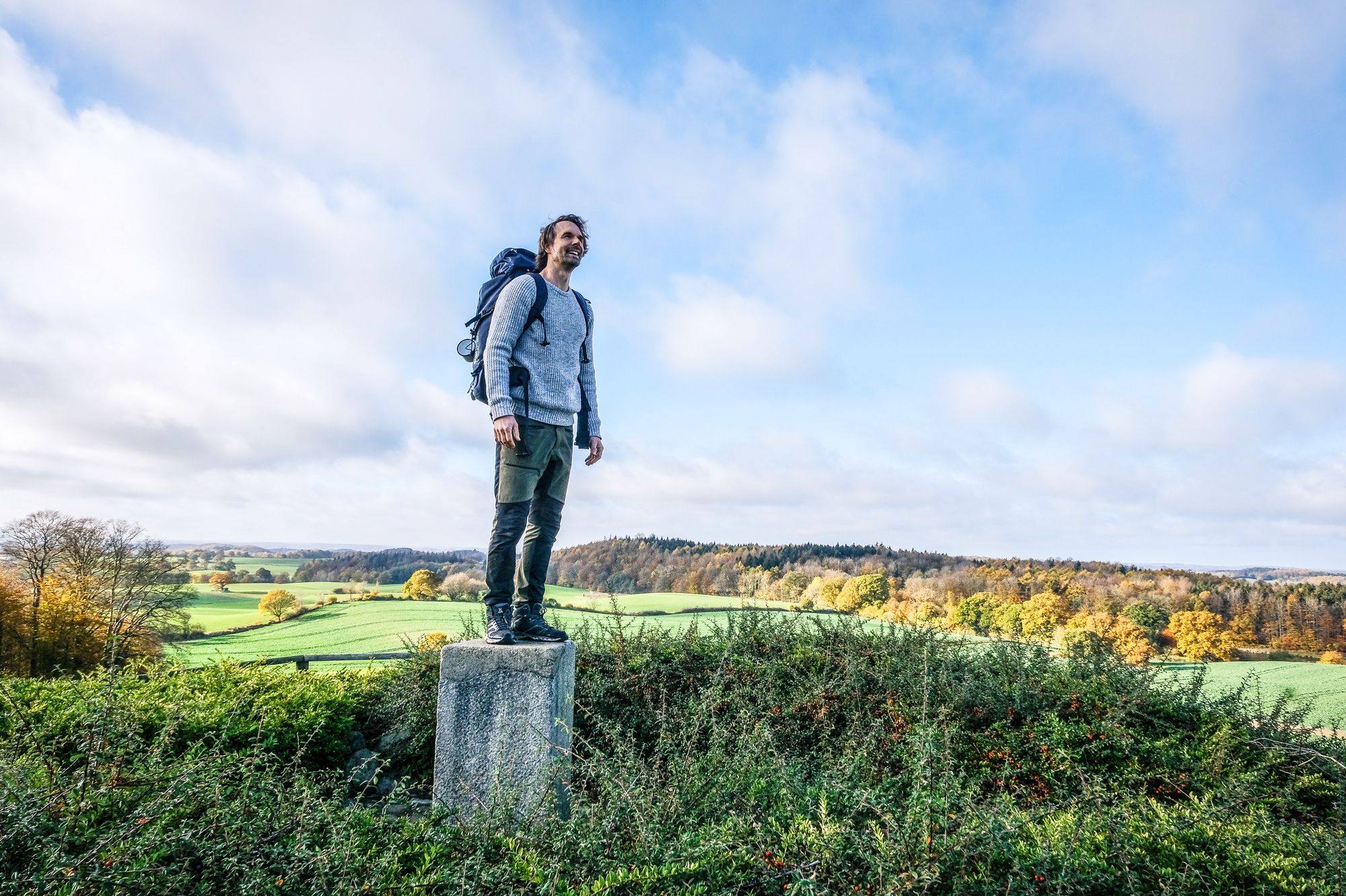
The weather was similar to the photo, very nice….
0
0

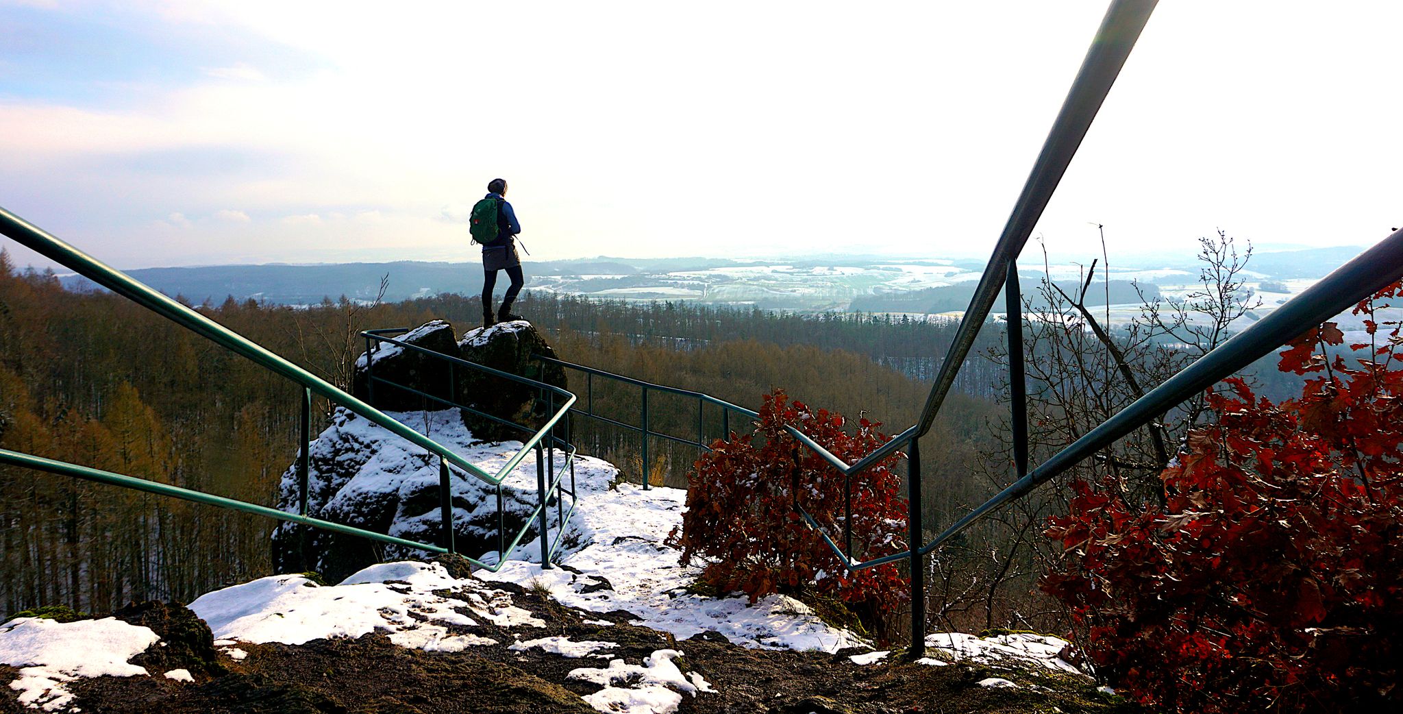
The Trudenstein is worth a trip and is rewarded with great views when the weather is nice.
15
0

komootモバイルアプリでインスピレーションを得よう


さらに探索
他の地域の最高のグラベルライドを見てみましょう。
