エッシンクのおすすめウォーキング&ハイキングルート
4.6
(1940)
6,760
ハイカー
99
ハイキング
エッシンク周辺でのハイキングは、景色を満喫するのに最適な手段のひとつですが、適切なハイキングルートを見つけることは簡単ではありません。 エッシンク周辺の人気ハイキング&ウォーキングコースを参考にすれば、行きたいルートをすぐに見つけられます。
最終更新日: 10月 19, 2026
4.3
(73)
246
ハイカー
6.92km
01:50
70m
70m
中程度のハイキング. あらゆるフィットネスレベルに適しています。 全般的に進みやすいルートです。安定して歩行できる技術が必要です。
4.7
(48)
210
ハイカー
13.9km
03:53
260m
280m
中程度のハイキング. ある程度のフィットネスレベルが必要です。 全般的に進みやすいルートです。安定して歩行できる技術が必要です。

4.7
(235)
653
ハイカー
13.5km
04:06
390m
390m
中程度のハイキング. ある程度のフィットネスレベルが必要です。 全般的に進みやすいルートです。安定して歩行できる技術が必要です。
4.8
(127)
459
ハイカー
22.6km
06:46
540m
540m
難しいハイキング. 標準以上のフィットネスレベルが必要です。 全般的に進みやすいルートです。安定して歩行できる技術が必要です。
4.7
(64)
185
ハイカー
16.6km
04:37
310m
310m
中程度のハイキング. ある程度のフィットネスレベルが必要です。 進みやすいルートです。あらゆるスキルレベルに適しています。
さらに多くのルートや他のユーザーのおすすめ情報を確認できます。
すでにアカウントをお持ちですか?
おすすめのツアーは他のkomootユーザーが実際に経験した何千ものアクティビティに基づいています。






コミュニティからのヒント

Beautiful views of the town from the water.
0
0


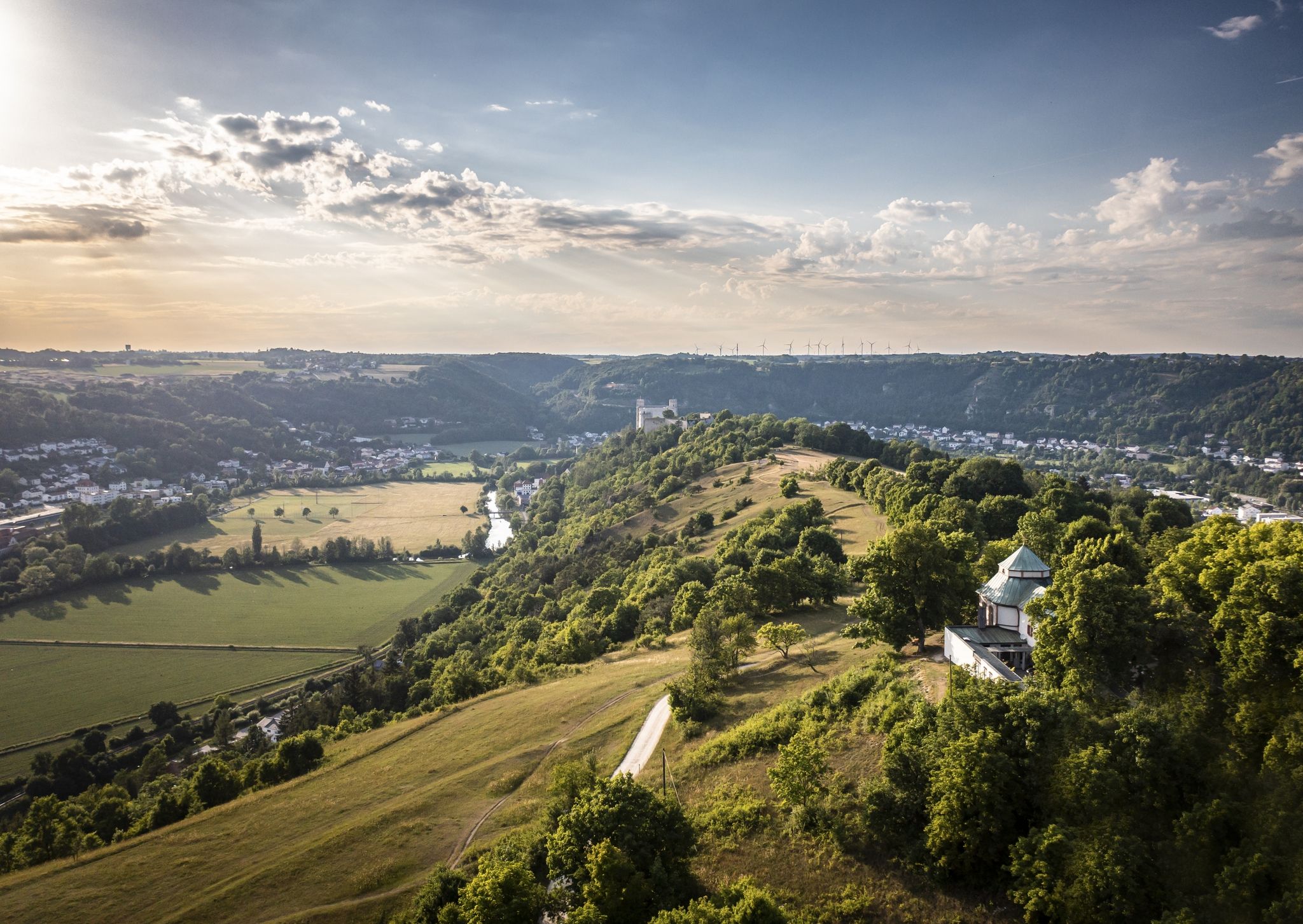
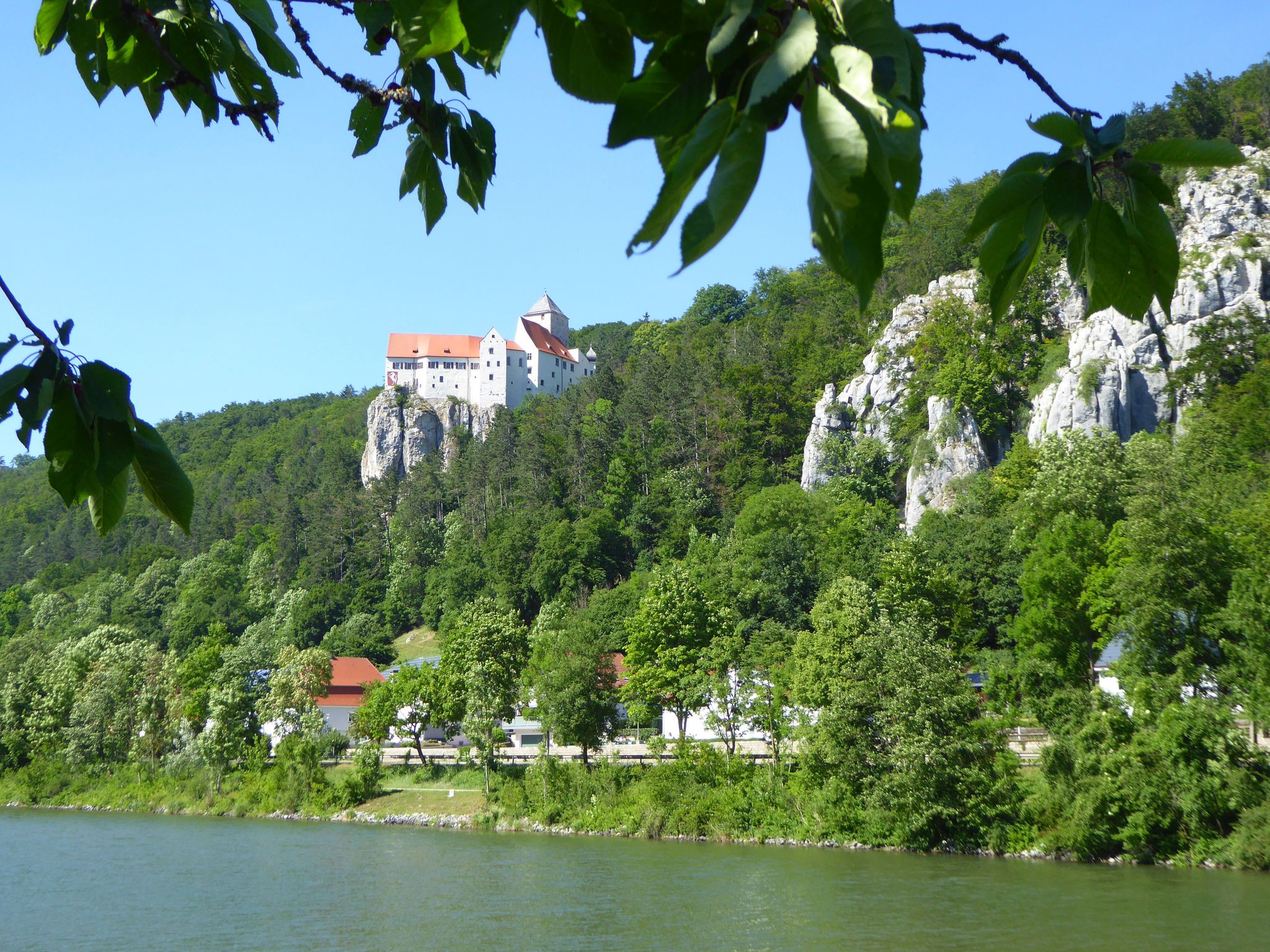
Prunn Castle Rock > a Geotope Prunn Castle sits atop a striking limestone rock that rises high above the Altmühl Valley. The rocks were formed in the Upper Jurassic in the Malm delta and epsilon. The higher sections probably extend into the Malm zeta. The "Plumpen Felsenkalk" rocks near Prunn are among the most important landscape elements of the lower Altmühl Valley. From the castle rock, you have a sweeping view over the Altmühl Valley. Bavarian State Office for the Environment (LfU). https://www.umweltatlas.bayern.de/standortauskunft/rest/reporting/sb_geotope/generate?additionallayerfieldvalue=273R006
1
0

Beautiful and worth seeing motif
0
0

Information sign: Schloßfels Climbing prohibited from February 1st to June 30th due to bird breeding DAV - iG Klettern
1
0

A super beautiful view.
3
1

Fantastic view of the Danube
3
0

A few meters further there is a nice bench
0
0

komootモバイルアプリでインスピレーションを得よう


さらに探索
他の地域の最高のハイキングを見てみましょう。
