イルスフェルトのおすすめライド
4.6
(1076)
17,393
ライダー
31
ライド
イルスフェルト周辺でのロードバイクライドをお考えですか?komootはイルスフェルト周辺のあらゆるロードバイクライドを評価し、人気ルートを厳選しました。イルスフェルト周辺の各ロードバイクルートの詳細をご覧になり、自分に合ったルートを見つけてください。
最終更新日: 9月 28, 2026
4.3
(3)
73
ライダー
30.7km
01:24
290m
290m
中程度のロードライド. あらゆるフィットネスレベルに適しています。 ツアーの一部に、未舗装のため走行が難しい箇所があるかもしれません。
4.3
(4)
93
ライダー
39.1km
01:44
360m
360m
中程度のロードライド. ある程度のフィットネスレベルが必要です。 全般的に舗装状態が良好で走行しやすい道です。

5.0
(5)
35
ライダー
60.8km
02:48
670m
670m
中程度のロードライド. ある程度のフィットネスレベルが必要です。 ツアーの一部に、未舗装のため走行が難しい箇所があるかもしれません。
30
ライダー
56.4km
02:50
860m
860m
中程度のロードライド. ある程度のフィットネスレベルが必要です。 ツアーの一部に、未舗装のため走行が難しい箇所があるかもしれません。
30
ライダー
53.9km
02:38
750m
750m
中程度のロードライド. ある程度のフィットネスレベルが必要です。 全般的に舗装状態が良好で走行しやすい道です。
さらに多くのルートや他のユーザーのおすすめ情報を確認できます。
すでにアカウントをお持ちですか?
おすすめのツアーは他のkomootユーザーが実際に経験した何千ものアクティビティに基づいています。
無料アカウントで今日から始めよう
次の冒険が待っています。

コミュニティからのヒント

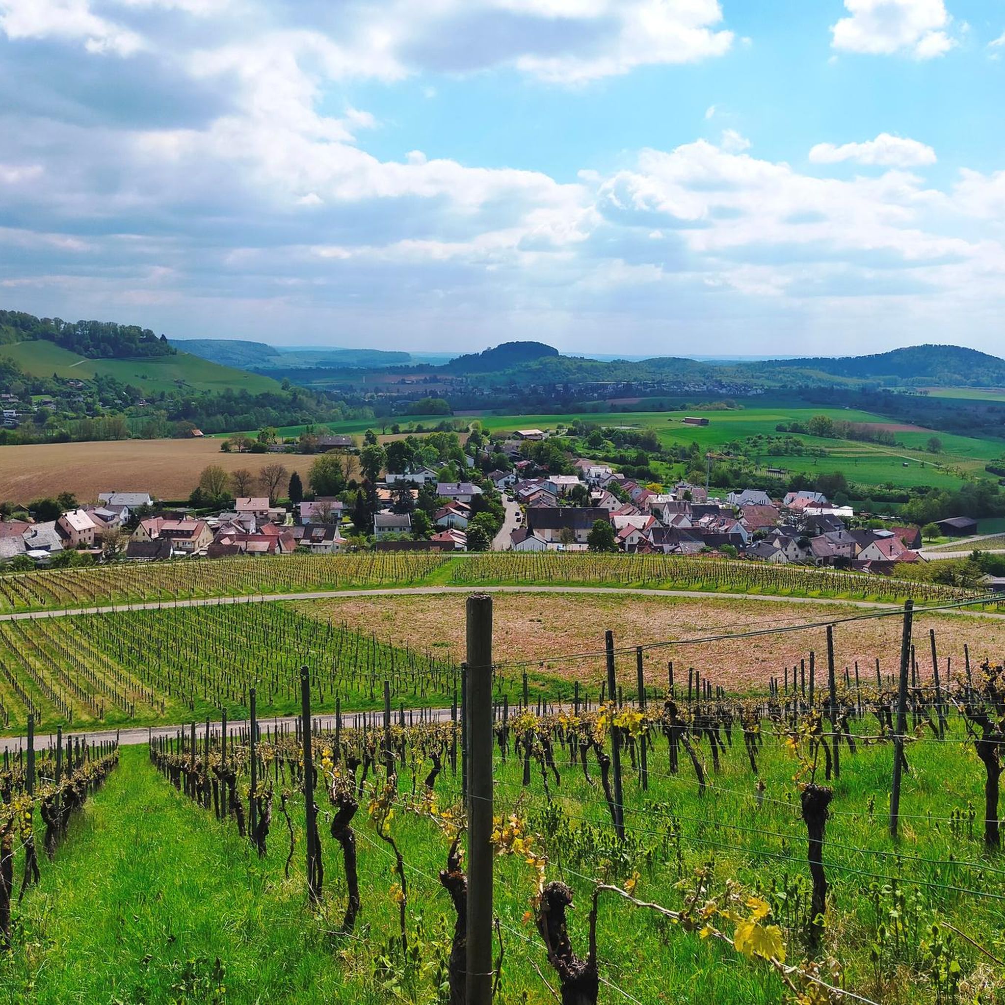
本当に美しい小さな道ですが、車と自転車がほとんど並んで通れないほど狭いです。それにもかかわらず、遅い土曜日のわりに驚くほど交通量がありました。
0
0


景観が非常に美しい、ネッカータール自転車道の区間です。自然が多く、川に非常に近いです。
3
0
川を見下ろす美しい建物群が、ネッカー川の支流の間にある島にあります。
3
0
ネッカー川からブドウ畑のある石灰岩のテラスへと続く、なんて美しい小さな街だろう。
2
0

ネッカー自転車道は、ヴィリンゲン=シュヴェニンゲン近郊のシュヴェニンガー・モスにあるネッカー川の源流から、ネッカー川がライン川に合流するマンハイムまで続いています。
0
0

komootモバイルアプリでインスピレーションを得よう


さらに探索
他の地域の最高のロードサイクリングルートを見てみましょう。
