ドナウシュタウフのおすすめウォーキング&ハイキングルート
4.5
(1716)
9,810
ハイカー
159
ハイキング
ドナウシュタウフ 周辺でおすすめのハイキングやウォーキングを楽しんでいただけるように、このエリアの小径やルートを集めたkomootコレクション全体を見直しました。 以下で各ルートの詳細をご覧になり、ドナウシュタウフ周辺の大自然を満喫する際の参考にしてください。
最終更新日: 10月 13, 2026
4.4
(186)
645
ハイカー
11.2km
03:08
220m
220m
中程度のハイキング. ある程度のフィットネスレベルが必要です。 進みやすいルートです。あらゆるスキルレベルに適しています。
4.6
(150)
538
ハイカー
6.22km
01:50
170m
170m
初級者向けハイキング. あらゆるフィットネスレベルに適しています。 進みやすいルートです。あらゆるスキルレベルに適しています。

4.6
(115)
421
ハイカー
5.90km
01:45
150m
150m
中程度のハイキング. あらゆるフィットネスレベルに適しています。 全般的に進みやすいルートです。安定して歩行できる技術が必要です。
4.5
(35)
96
ハイカー
18.2km
05:06
350m
350m
難しいハイキング. 標準以上のフィットネスレベルが必要です。 全般的に進みやすいルートです。安定して歩行できる技術が必要です。
4.8
(93)
409
ハイカー
5.65km
01:39
130m
130m
中程度のハイキング. あらゆるフィットネスレベルに適しています。 全般的に進みやすいルートです。安定して歩行できる技術が必要です。
さらに多くのルートや他のユーザーのおすすめ情報を確認できます。
すでにアカウントをお持ちですか?
おすすめのツアーは他のkomootユーザーが実際に経験した何千ものアクティビティに基づいています。
無料アカウントで今日から始めよう
次の冒険が待っています。
コミュニティからのヒント

ドナウシュタウフにあるヴァルハラ神殿は、バイエルンで最も印象的な記念碑の1つです。ドナウ川を見下ろす高台に位置し、遠くからでも見ることができます。ギリシャ神殿様式の新古典主義建築は、19世紀にルートヴィヒ1世によって建てられ、ドイツで最も重要な国民的記念碑の1つです。 約350段の階段を登るのは運動になりますが、それだけの価値は十分にあります。頂上からは、ドナウ川とゲイボーデンの壮大なパノラマビューが楽しめます。特に夕暮れ時はハイライトです。 内部の栄光の殿堂には、ゲーテやシラーなどの著名な人物の胸像が100体以上展示されており、感動的です。 敷地は広々として手入れが行き届いており、写真撮影やちょっとした散策に最適です。 ハイライト:壮大な建築と景色の組み合わせ。 結論:レーゲンスブルク地域では必見です。 ヒント:早朝または夕方に訪れるのがおすすめです。訪問者が少なく、最高の光で楽しめます。
3
0
ドナウシュタウフにあるヴァルハラは、バイエルンで最も印象的な記念碑の1つです。ドナウ川の}$,{高}に位置し、遠くからでも見えます。ギリシャ神殿様式の新古典主義建築は、19世紀にルートヴィヒ1世によって建てられ、ドイツで最も重要な国立記念碑の1つです。 約350段の階段を登るのは運動になりますが、それだけの価値は十分にあります。頂上からは、ドナウ川とゲイボーデンの壮大なパノラマビューが楽しめます。特に夕暮れ時はハイライトです。 内部には、ゲーテやシラーなどの著名な人物の100以上の大理石の胸像がある栄光の殿堂があります。 敷地は広々として手入れが行き届いており、写真撮影やちょっとした小旅行に最適です。 ハイライト:壮大な建築と景色の組み合わせ。 結論:レーゲンスブルク地域では絶対に見逃せません。 ヒント:早朝または夕方に訪れるのがおすすめです。訪問者が少なく、最高の光で撮影できます。
4
0
印象的な新古典主義の建物で、著名なドイツ人の記念碑と胸像がある大理石のホールがあります。
2
0

モデルはヴァルハラ神殿の前に立っており、何を探検できるかを美しく示しています。
0
0

どの側から登っても…素晴らしい眺めです。しかし、ヴァルハラ自体も訪れる価値があります。入場料5ユーロは問題ありません 🙃🙏
3
0
A highly recommended visit for anyone in the area. And don't forget your binoculars! The view over the Danube Valley is breathtaking. To the west lies Regensburg with its cathedral, and to the east you can beautifully follow the course of the Danube. You can drive right up to the castle; from there it's just a short climb, but parking is limited. Alternatively, you can hike up from Donaustauf. There are benches and seating areas for resting or having a picnic.
1
0

Amazing colonnade in a fantastic building with a superb panoramic view 🤩
4
0

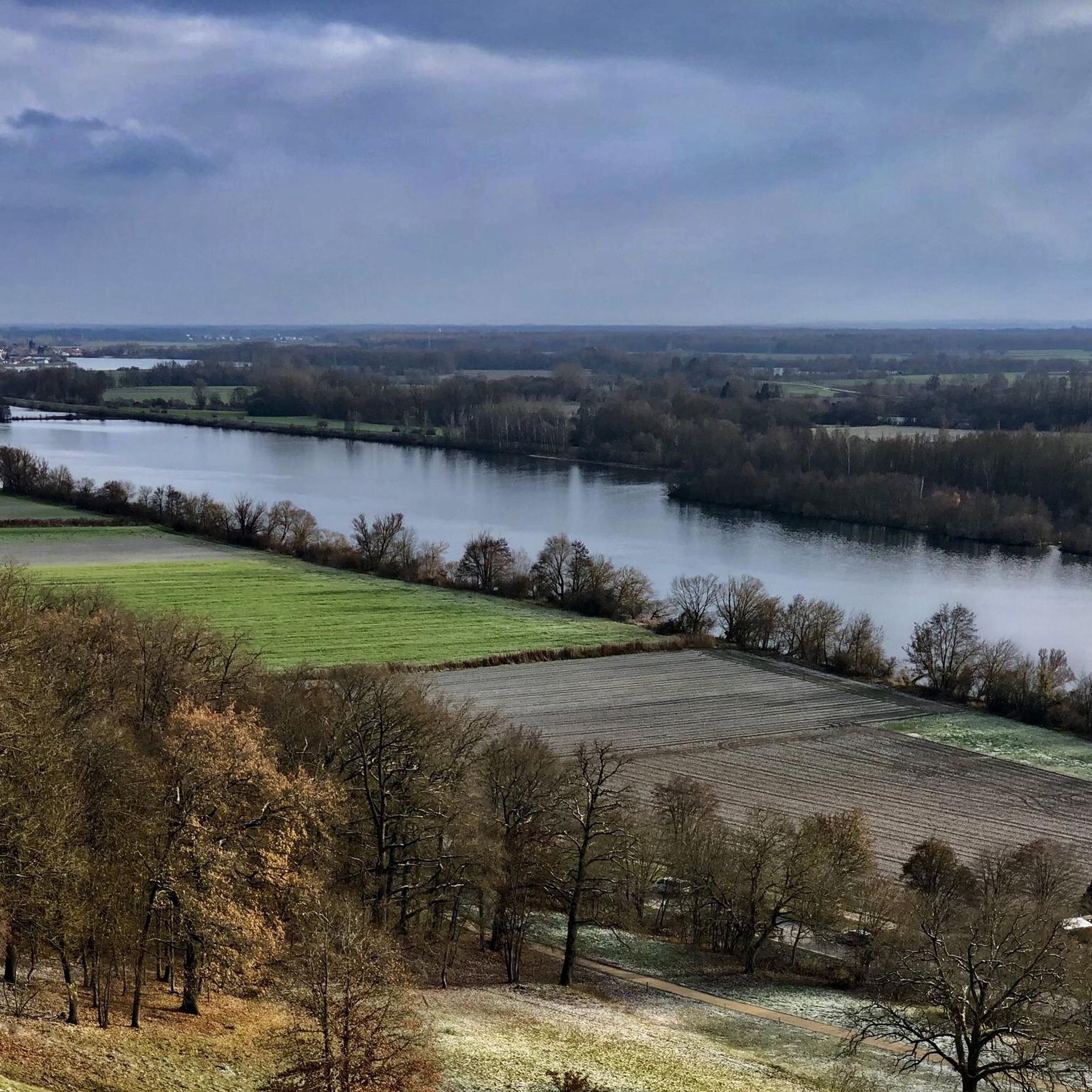
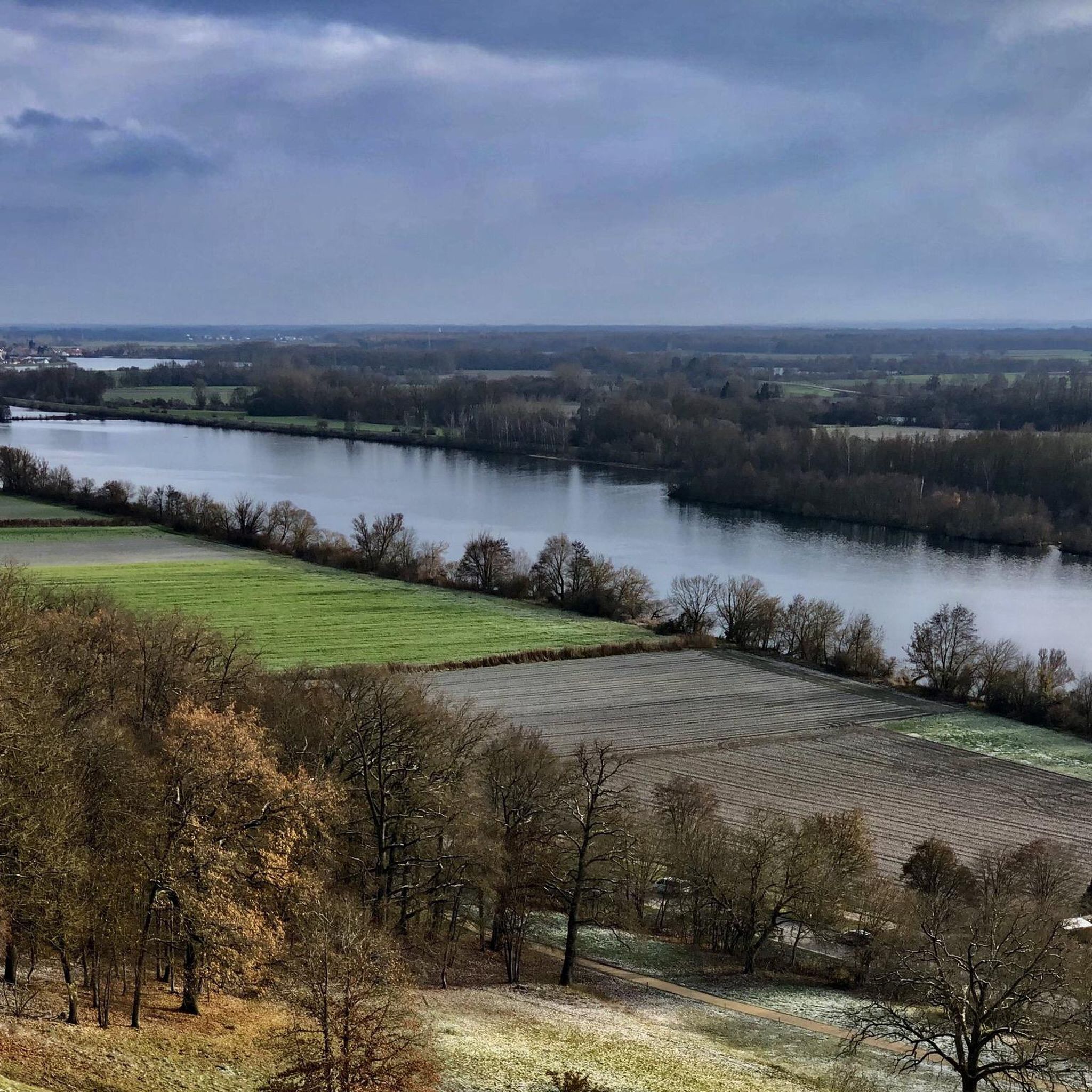
Walhalla near Donaustauf offers a sweeping view of the Danube and the surrounding landscape. From its elevated position, the river is clearly visible as it winds through the plain. The banks are lined with forests and fields, forming a diverse cultural landscape. On clear days, the view extends far into the Danube plain. The view is framed by the architecture of the neoclassical temple building, creating a striking connection between the building and the river landscape.
2
0
ドナウシュタウフでのの人気観光スポット

komootモバイルアプリでインスピレーションを得よう


さらに探索
他の地域の最高のハイキングを見てみましょう。
