ヒュッティコンのおすすめウォーキング&ハイキングルート
4.6
(2827)
20,254
ハイカー
903
ハイキング
ヒュッティコン周辺でのハイキングは、景色を満喫するのに最適な手段のひとつですが、適切なハイキングルートを見つけることは簡単ではありません。 ヒュッティコン周辺の人気ハイキング&ウォーキングコースを参考にすれば、行きたいルートをすぐに見つけられます。
最終更新日: 10月 14, 2026
4.6
(5)
91
ハイカー
7.41km
01:54
30m
30m
初級者向けハイキング. あらゆるフィットネスレベルに適しています。 進みやすいルートです。あらゆるスキルレベルに適しています。
4.8
(16)
66
ハイカー
3.85km
01:08
100m
100m
初級者向けハイキング. あらゆるフィットネスレベルに適しています。 進みやすいルートです。あらゆるスキルレベルに適しています。

4.5
(14)
71
ハイカー
7.17km
01:52
40m
40m
初級者向けハイキング. あらゆるフィットネスレベルに適しています。 進みやすいルートです。あらゆるスキルレベルに適しています。
4.9
(8)
29
ハイカー
13.6km
04:23
430m
430m
中程度のハイキング. ある程度のフィットネスレベルが必要です。 全般的に進みやすいルートです。安定して歩行できる技術が必要です。
5.0
(2)
26
ハイカー
12.5km
03:52
410m
410m
中程度のハイキング. ある程度のフィットネスレベルが必要です。 全般的に進みやすいルートです。安定して歩行できる技術が必要です。
さらに多くのルートや他のユーザーのおすすめ情報を確認できます。
すでにアカウントをお持ちですか?
おすすめのツアーは他のkomootユーザーが実際に経験した何千ものアクティビティに基づいています。
無料アカウントで今日から始めよう
次の冒険が待っています。
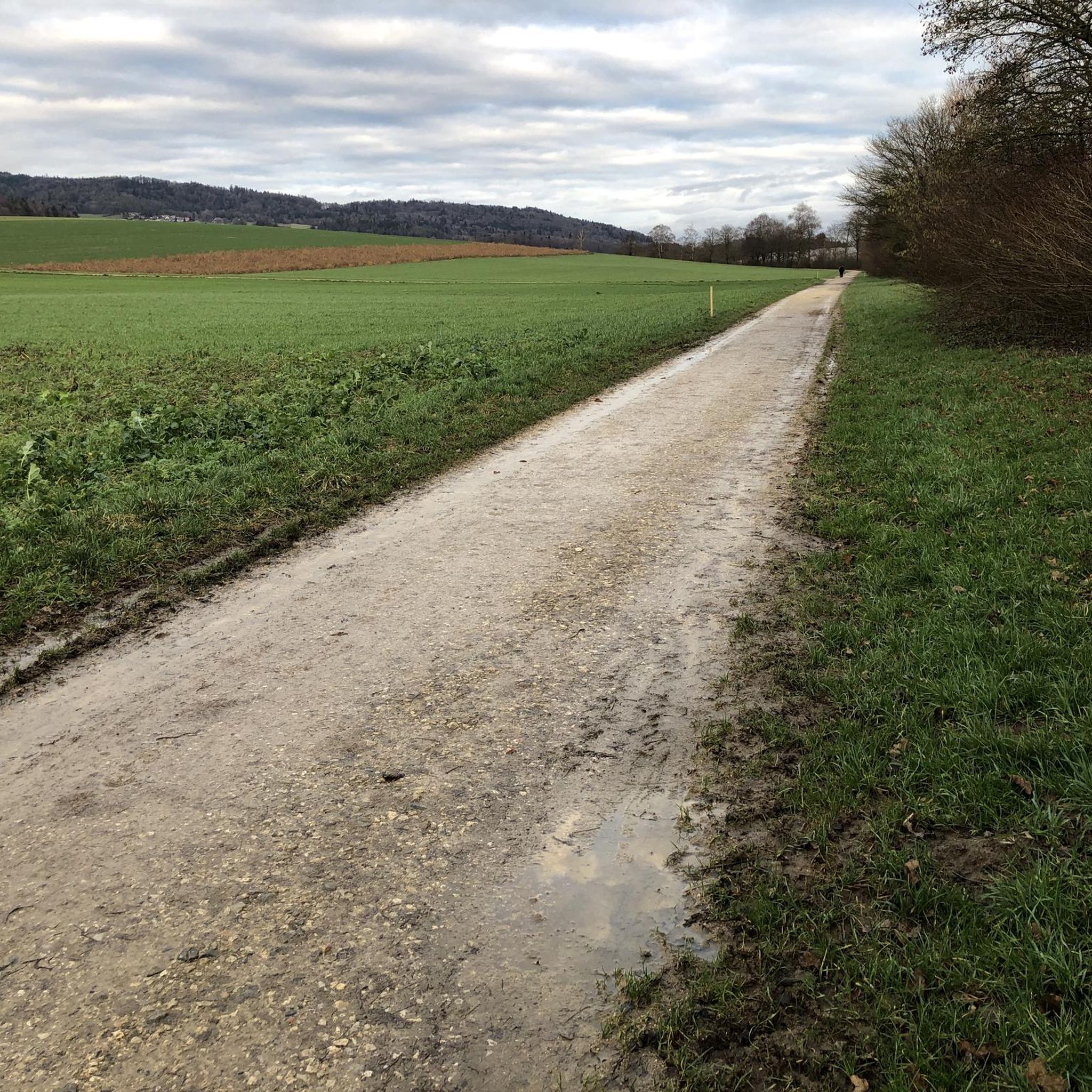
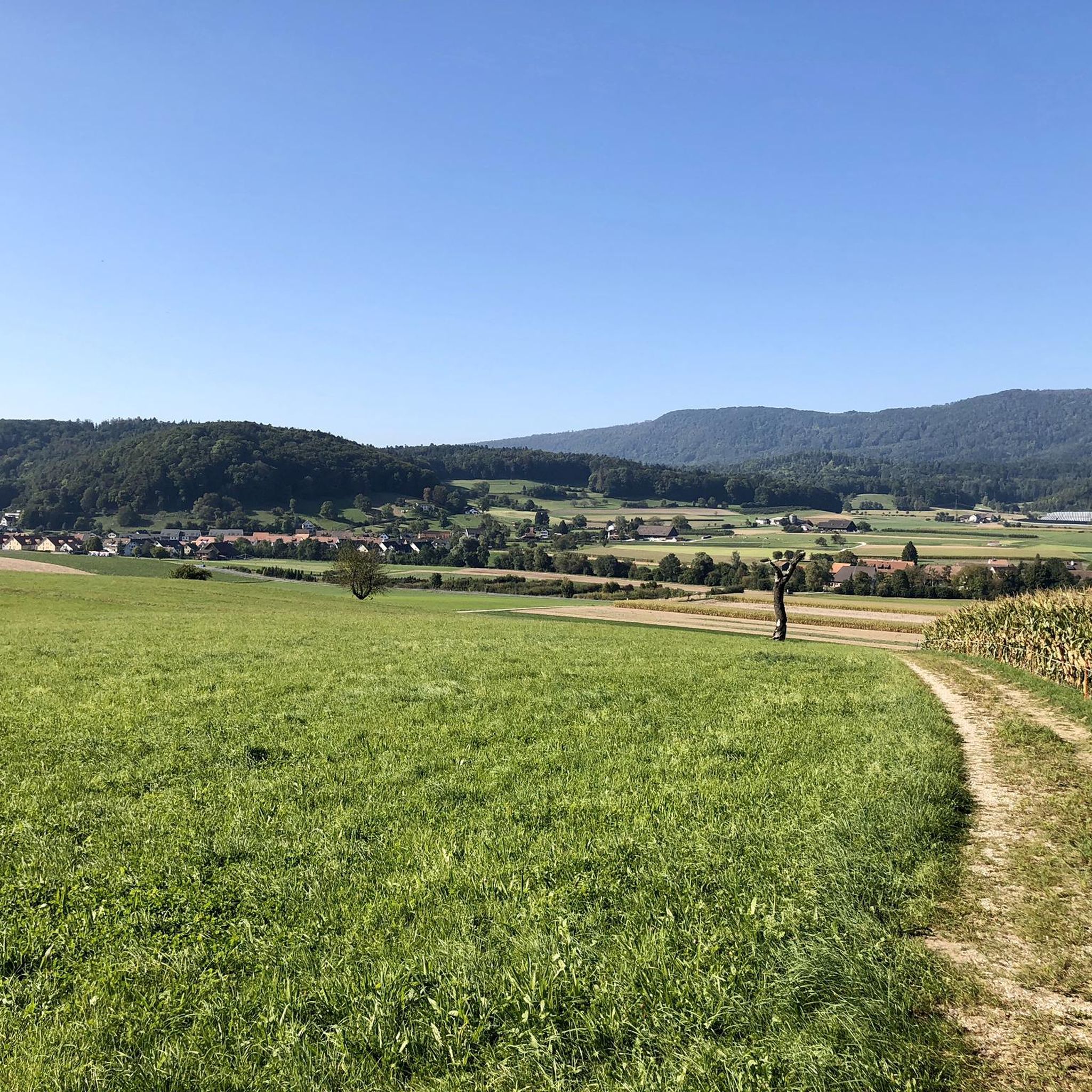
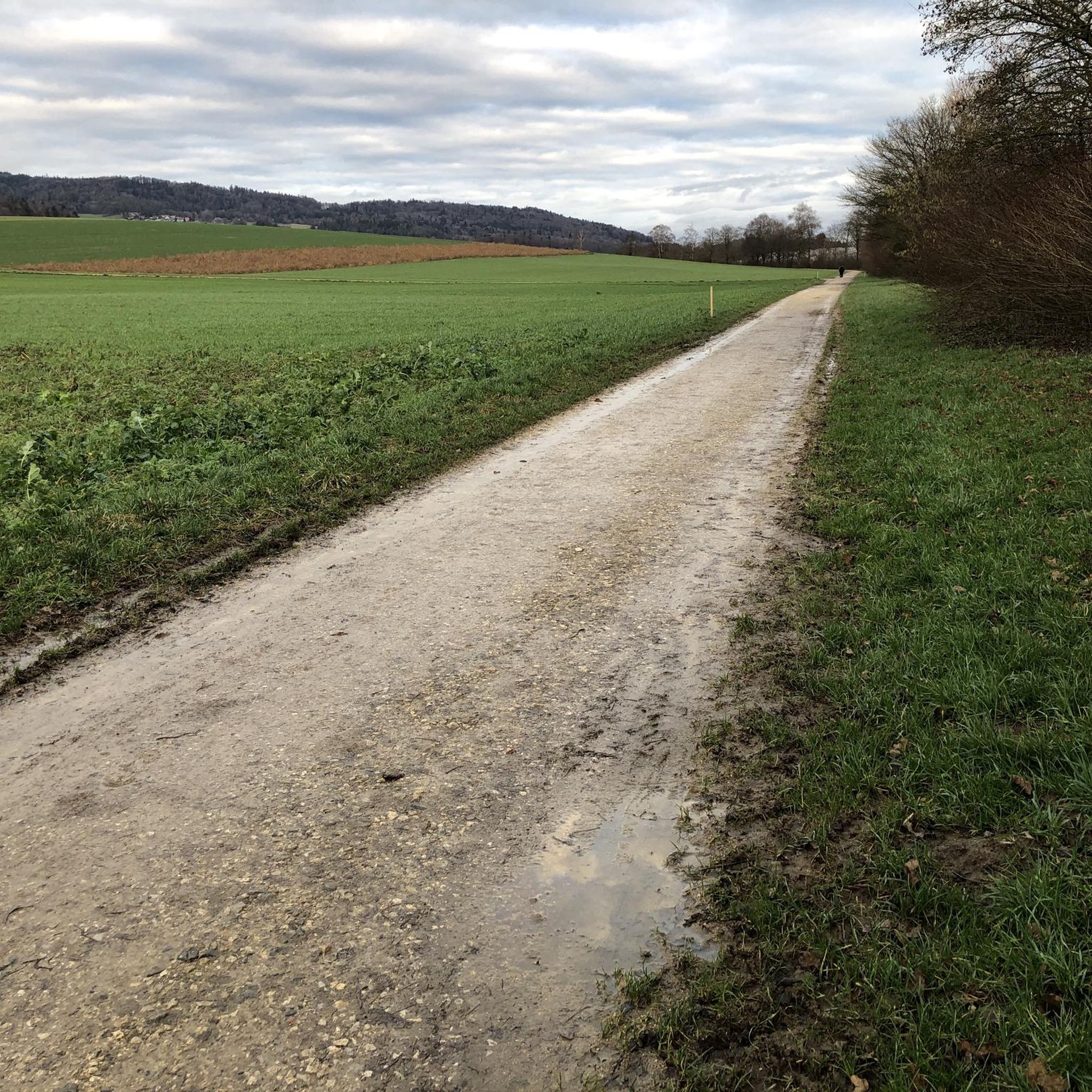
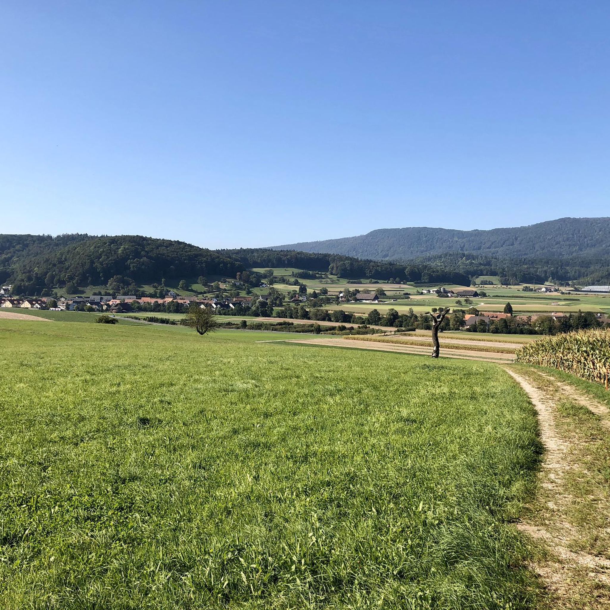
コミュニティからのヒント

無料のハイキング駐車場。駐車時間は8時間に制限されており、駐車ディスクを設置する必要があります。
3
0

This tower is a radar station (secondary radar) for air traffic control and is operated by Skyguide. It processes exclusively echoes actively emitted by flying objects. Unlike the primary radar, which also uses echoes emitted immediately beforehand.
0
0

Beautiful route directly on the water
0
0

At 859 meters, the Burghorn is the highest point on the Lägerngrat. From here, you can enjoy spectacular panoramic views: to the south over the Limmat Valley to the Alps 🏔️, and to the north into the Surb Valley and the Aargau Jura 🌳 – a perfect place for a break with a view!
10
0

Very nice and car-free bike path. Watch out for joggers and dog walkers.
0
0


The ridge can only be walked with good footwear, surefootedness is absolutely necessary
4
0

komootモバイルアプリでインスピレーションを得よう


さらに探索
他の地域の最高のハイキングを見てみましょう。
