クルスドルフの山小屋&キャビン・トップ20
アウトドアで過ごす一日のハイライトはなんといっても山小屋です。次の冒険での山小屋選びの参考となるよう、クルスドルフの素晴らしい山小屋・キャビンをまとめました。以下の一覧から理想の山小屋・キャビンを見つけて、スムーズに次の冒険を計画しましょう。
最終更新日: 10月 2, 2026
レンシュタイグヴァルテ(エーゼルスベルク)
ハイライト • 展望台
翻訳者 Google •
役立つ情報 は

3電流レンガ
ハイライト • 記念碑
翻訳者 Google •
役立つ情報 は

今すぐサインアップして、こんな場所を発見しよう
最高のシングルトラック、ピーク、その他のエキサイティングなアウトドアスポットのおすすめを受け取ろう。
アイスフェルダー休憩地
ハイライト • 山小屋
翻訳者 Google •
役立つ情報 は
シュヴァルツァ湧水
ハイライト • 自然記念物
翻訳者 Google •
役立つ情報 は

シュナイダーフェルゼン - ツーリングスタンプ169
ハイライト • 展望台
翻訳者 Google •
役立つ情報 は

無料でサインアップして、さらに多くの小屋やキャビンを発見しましょう クルスドルフでの。
すでにアカウントをお持ちですか?
無料アカウントで今日から始めよう
次の冒険が待っています。



コミュニティからのヒント

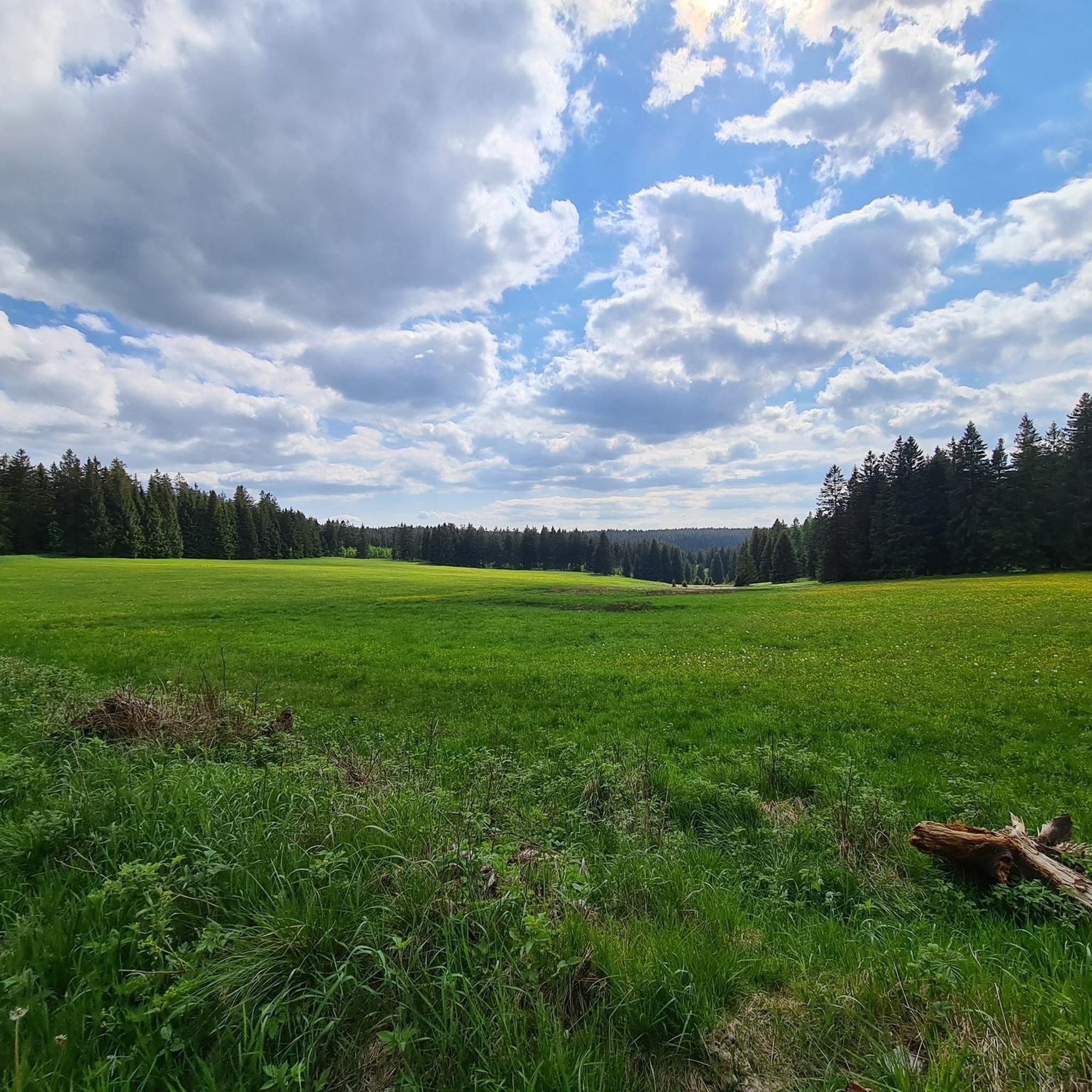
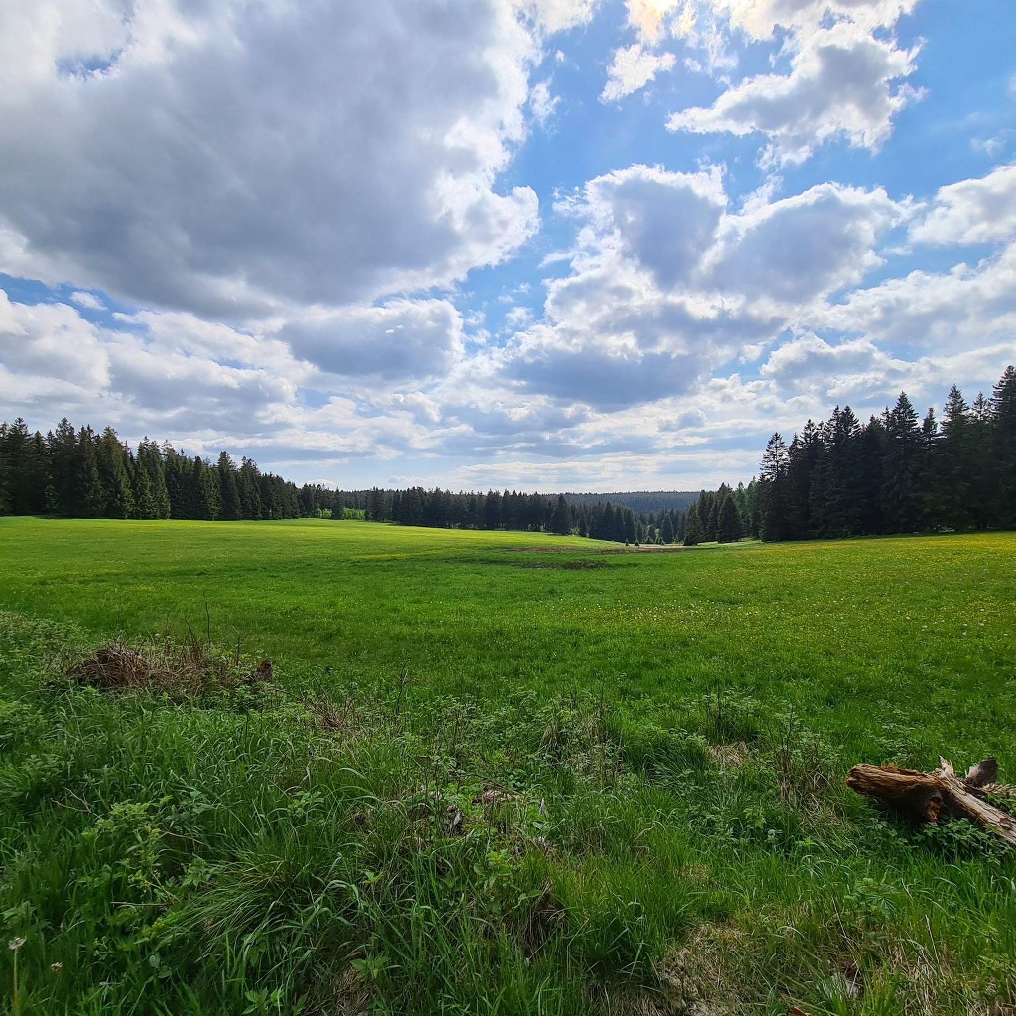
テューリンゲンの森の中心部に位置するアイスフェルダー・アウスパンネは、ハイカーや自然愛好家にとって真に絵のように美しい休憩場所です。鬱蒼とした森と豊かな歴史に囲まれたこのハイキングのハイライトは、十分な休息に最適な場所です。 アイスフェルダー・アウスパンネを訪れた際、私はすぐにその場所の穏やかで平和な雰囲気に魅了されました。避難小屋は雨風をしのぎ休憩する場所を提供し、保存状態の良い「マイルンブロック」は、この場所の歴史の一端を物語っています。「アウスパンネ」という名前は、テューリンゲン森林の尾根の困難な横断のために、ここで馬を休ませていたという伝統に由来しています。 アイスフェルダー・アウスパンネはレンシュタイクの重要な交差点であり、ハイカーにさまざまなルートオプションを提供しています。マッサーベルクやヴァッフェンロートから来る場合でも、ヴェラ川の源流を訪れる場合でも、この場所は数多くのハイキングに理想的な出発点または目的地となります。 この場所自体には多くのベンチとテーブルが備えられており、長めの休憩に最適な場所となっています。ここではリラックスしたり、森の静けさを楽しんだり、次の旅のために活力を得たりすることができます。また、経験を共有したり、美しい環境を楽しんだりするハイカーにとって人気の待ち合わせ場所でもあります。
7
1

This is a special point! Three large river systems meet here. However, this is not unique in Germany. I liked the design of the place.
10
2
The Eisfelder Ausspanne is a large crossroads with a refuge.
12
2

Yes, you can relax here. In historical times, the horses that had been harnessed before the steep ascent to the ridge were unharnessed here. Therefore the name. From here you continue to the Werraquelle or the Eselsberg, if you want, turn off in the direction of Goldisthal beforehand.
18
1

Has the charm of a war memorial, only with eternal water instead of an eternal flame.
51
0

Nice rest stop to stay near Masserberg
15
4

The Schwarza spring rises 4 kilometers from Neuhaus am Rennweg and 250 m from the Rennsteig, at an altitude of 717 m. The spring water, which rises from a crack between slate and red sandstone, always has a constant temperature of around 6 degrees Celsius both in midsummer and in winter, which is often icy here. The spring was set in in 1855. In the meantime, however, the spring has looked for another way up and rises about 2m away from the source. In the further course, she looks for her own way (Fig. 4). In spring, a stream already flows past the Schwarzaquellhütte above the Schwarza spring. After 300 m the Schwarza joins the Habichtsbach, which at the confluence has already covered twice as much distance from its source. In the further course the Schwarza flows through the partially deeply cut Schwarzatal until it flows into the Saale after 53 kilometers in the Rudolstadt district of Schwarza. After more than 200 kilometers, the Saale flows into the Elbe at Barby. This makes the Schwarza part of the Elbe's catchment area, as does the previous "River Landscape of the Year", the Havel. The catchment area of the Schwarza and its tributaries covers a total of 507 square kilometers. The Schwarza has many natural stretches of water. Source: http://www.schwarza-fluss.de/schwarza.htm
12
0
Dreistromstein - dreifache Wasserscheide - 108,25 km ab Hörschel - (60,05 km ab Blankenstein) - 812 m ü.NN - Dreistromstein - Dreiherrenstein am Saarzipfel - Soldatengräber Das hier am Saar besonders reichlich fallende Niederschlagswasser fließt – einmalig in Deutschland – sogleich drei verschiedenen Strömen zu: Der Elbe, dem Main und dem Rhein. Auf engbegrenztem Gebiet entspringen nämlich im Schatten des Hochwalds drei Wildbäche, einer kaum 500 m vom andern, der Rambach, der nach Norden zur Schwarza in den Elbebereich hinabrinnt, die Grümpen, ein Nebenbach der zum Main hinstrebenden Itz, und das Türkengründlein, welches nach seiner Vereinigung mit dem Mutzgründlein die Saar bildet und als erster bedeutenderer Zufluss die junge Werra (Weser) verstärkt. Einbeziehung ihres Gebiets, so musste die Anlage statt auf dem Saar gleich daneben, auf dem meiningischen Forstort Rattelsberg, errichtet werden. Das Denkmal besteht aus einer dreiseitigen Sandsteinpyramide, die sich aus einem massiven Untergrund von rundlicher Form erhebt, gebildet aus typischen Gesteinen der jeweiligen Stromgebiete (Elbe: Granit, Rhein: Quarz, Weser: Grauwacke). Auf den Seitenflächen der Pyramide sind die Namen der oben erwähnten Bächlein nebst denen der sie aufnehmenden größeren Gewässer eingraviert. Darunter die Namen der Staaten, deren Grenzen und Hoheitsgebiete sich ehemals an diesem Punkte berührten: Schwarzburg-Rudolstadt, Sachsen-Meiningen-Coburg (als Nachfolger der reichsunmittelbaren Herrschaft Schaumberg) und Sachsen-Hildburghausen. Dreistromstein Dreistromstein Dreistromstein Die Einweihungsfeier begann am 7. Juni 1906 früh um 08:00 Uhr. Aus Limbach kamen die Mitglieder des Rennsteigvereins, dort hatte gerade ihre Jahreshauptversammlung stattgefunden. Fürsteher Ludwig Hertel erteilte zunächst Herrn Kümpel das Wort, nach dessen Rede wurde die Stiftungsurkunde verlesen. Ihr Wortlaut war folgender: "Gemein derer Renner uf dem Waldhûz. Quelle: http://www.rennsteigverein.de/dreistromstein.html
11
2

komootモバイルアプリでインスピレーションを得よう


さらに探索
これらの近くの場所で最高の小屋やキャビンを見つけましょうクルスドルフでの:
