アルフレンの湖・トップ20
次の冒険でアルフレンの素晴らしい湖を訪れてみませんか?湖畔の穏やかな雰囲気や、天気が良い日のひと泳ぎは格別です。komootコミュニティがおすすめするアルフレンの素晴らしい湖の一覧を参考にして、次の冒険では湖をもっと満喫しましょう。
最終更新日: 8月 31, 2026
プルファーマール
ハイライト • 湖
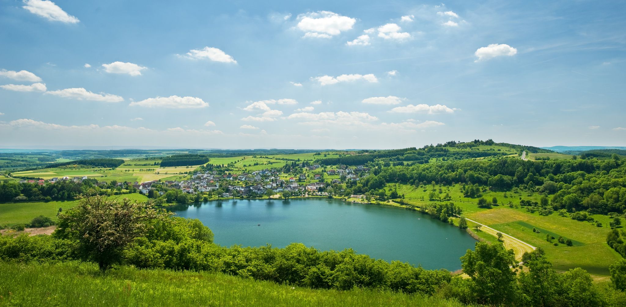
約23,000年前に火山活動によって形成されました。水の深さは約74メートルで、アイフェル地方で最も深いマールであり、ほぼ円形で完全に水で満たされたクレーターは特に印象的です。アイフェルの「目のひとつ」です。
翻訳を表示中
役立つ情報 は

ウルメナー・マー
ハイライト • 湖
翻訳者 Google •
役立つ情報 は

今すぐサインアップして、こんな場所を発見しよう
最高のシングルトラック、ピーク、その他のエキサイティングなアウトドアスポットのおすすめを受け取ろう。
無料新規登録
ウルメンの上城跡
ハイライト • 城
翻訳者 Google •
役立つ情報 は

ユングファーヴァイアー
ハイライト • 湖
翻訳者 Google •
役立つ情報 は

ユングファーヴァイアー
ハイライト • 湖
翻訳者 Google •
役立つ情報 は

無料でサインアップして、さらに多くの湖を発見しましょう アルフレンでの。
無料新規登録
すでにアカウントをお持ちですか?


コミュニティからのヒント

A true paradise stretches out on the edge of the village of Ulmen on a plateau beneath the Steimelskopf, where a volcano once erupted with a tremendous bang, forming a deep crater with a maar lake, which now serves as a renowned bird sanctuary. The exact age of the Jungferweiher lake cannot be determined, but its morphological shape suggests it is several hundred thousand years old. In early modern times, the Lords of Ulmen used the lake as a fishpond for carp breeding, until it gradually silted up over time, and the residents of Ulmen harvested peat from the former maar for heating purposes. However, in 1942, the decision was made to flood the area again by damming the Ulmener Bach to secure the drinking water supply for the Cochem-Zell district. Today, the Jungferweiher lake, located at an altitude of 428 meters above sea level, covers an area of approximately 170,000 square meters with a depth of 0.8 meters. The pond, along with the Ulmener Maar, is protected for its rare flora and fauna. Many endangered species, such as the snipe and the meadow pipit, breed in the reed-rich banks, while ospreys have been observed hunting. Migratory birds such as cranes, teals, and great grey shrikes roost in the meadows near the Ulmener Jungferweiher every year. Therefore, a walk along the approximately 3-kilometer loop is a must, especially during the migration periods in spring and autumn. At the bird observatory on the western bank, you can observe the birds in their natural habitat. Nowadays, a wide variety of fish species thrive in the shallow waters of the Ulmener Weiher, which can be fished from a fishing pier on the southern bank. Swimming and other water sports are prohibited, however. Fishing permits are issued by the local municipal administration in Ulmen. Since 2023, the Ulmener Maar Tunnel has connected the Jungferweiher underground to the Ulmener Maar. A visit to the 126-metre-long tunnel is highly recommended!
7
0
The Ulmen Maar lies 420 meters above sea level today, covers an area of 5.5 hectares, and is 36 meters deep. The bubbles at the maar's edge demonstrate that volcanism is still active. They bear witness to a turbulent past—but rest assured, there's no eruption in sight! A wall of various rocks and ash, up to 20 meters thick, surrounds the cone. For those interested, these testimonies to this explosive past are beautifully displayed in St. Matthias Church. This unique wall, with its different colored layers and rounded inclusions, is worth seeing for more than just geologists. The slopes of the maar basin are covered with a beautiful forest, which can be explored on a circular walk. A detour to the medieval castle ruins, from which the Crusaders once launched their campaigns, is recommended. The view from the crater rim over the maar and the Eifel beyond will take your breath away. Whether after a sweaty hike or a long drive, the blue of the Ulmer Eifel lake is all too tempting in summer. However, bathing in the maar is prohibited because it is designated as a nature and water protection area.
7
0
The lower castle has completely disappeared. You can still see the beginning of the ring that connected the lower castle and the Ulmen city wall, a two-story outer wall of the palace, as well as a cistern and some foundation walls of other buildings. The old part of Ulmen Castle was built around 1074 AD and likely rests on the remains of a Roman settlement. In the Middle Ages, Ulmen Castle was further expanded and divided into the upper castle, whose remains of the walls still exist, and the lower castle, which extended to the banks of the maar river. Two knightly families lived in the castle, which is believed to have never been attacked or destroyed until 1673 due to its size. Only the Sun King's troops succeeded. It was rebuilt, but fell again in 1689 during the War of the Succession. However, Ulmen Castle was also rebuilt this time, with only the city wall being abandoned. With the invasion of Napoleon's soldiers, Ulmen also became French and later Prussian. The empty castle, whose last descendant died in 1801, was auctioned to a merchant from Cochem, who sold it as a quarry. When a devastating fire burned Ulmen to the ground in the 19th century, the residents of Ulmen rebuilt their houses with stones from the castle. That's why you can still see a coat of arms on some of the stables today. It wasn't until the early twentieth century that Ulmen Castle was declared a listed building and became the property of the municipality of Ulmen. The castle is always freely accessible.
7
0

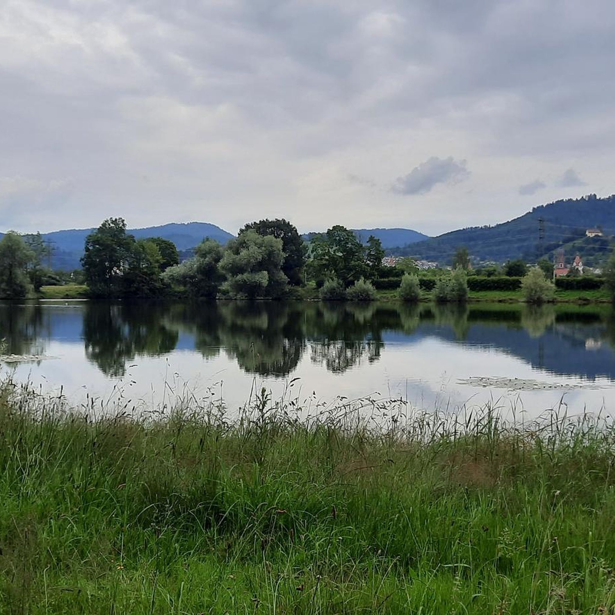
Here at the Jungfernweiher in Ulmen you can go for a lovely walk. The Ulmener Stollen connects the Ulmener Maar with the Jungfernweiher.
3
0

The Volcanic Eifel is always worth a short vacation.
2
0

A true paradise stretches out on the edge of the village of Ulmen on a plateau below the Steimelskopf, where a volcano once erupted with a huge detonation and formed a deep crater with a maar lake, which today functions as a well-known bird sanctuary. The exact age of the Jungferweiher cannot be determined, but due to its morphological shape it is assumed to be several hundred thousand years old. In the early modern period, the lords of the castle of Ulmen used the lake as a fishing water for carp farming, until it silted up over time and the residents of Ulmen mined the former maar peat for heating purposes. In 1942, however, it was decided to flood the area again and dam up the Ulmener Bach to secure the drinking water supply for the Cochem-Zell district. Today, the Jungferweiher, located at an altitude of 428 meters above sea level, is around 170,000 square meters in size and has a depth of 0.8 meters. The pond is protected together with the Ulmener Maar due to its rare flora and fauna. Numerous endangered species such as snipe and meadow pipit breed in the reed-rich shore areas, while ospreys have already been observed hunting. Migratory birds such as cranes, teals and great grey shrikes rest every year on the meadows at the Ulmener Jungferweiher. Therefore, a hike on the approximately 3-kilometer-long circular path is a must, especially during the migration periods in spring and autumn. At the bird observation station on the western bank, you can observe the birds particularly well in their natural environment. The shallow waters of the Ulmener Weiher are now once again home to a large variety of fish species, which can be fished from a fishing jetty on the south bank. Swimming and other water sports are prohibited, however. Fishing licenses are issued by the municipal administration in Ulmen. Since 2023, the Ulmener Maar tunnel has connected the Jungferweiher with the Ulmener Maar underground. A visit to the 126-meter-long tunnel is worthwhile! Source: https://www.eifel.info/a-jungferweiher There is a barrier-free and therefore wheelchair-accessible circular path around the Jungferweiher.
4
0
The Ulmener Maar is small but beautiful. Located in the middle of the Eifel and in the middle of the city, it is a wonderful destination. You can easily combine a walk around the maar with a walk around the neighboring Jungferweiher. Both have recently been connected by the Ulmener Maar tunnel, which runs under the A 48 motorway.
6
0

The Jungferweiher Maar is located at an altitude of 428 meters, is 1.7 hectares in size and is very shallow and swampy at 80 cm.
4
0

komootモバイルアプリでインスピレーションを得よう


さらに探索
まだ完璧な湖が見つかりませんかアルフレンでの?これらの地域のガイドをチェックして、さらに美しい場所を見てみましょう。
