メアーフェルトの絶景の山頂・トップ9
絶景を目指して登るのであれ、達成感のために登るのであれ、山頂を訪れることで、メアーフェルトの美しい自然をもっと満喫することができます。9
もの選択肢の中から、制覇する山頂を決めるのは簡単ではありません。スムーズに次の冒険で目指す山頂を選べるように、メアーフェルトの素晴らしい山頂をこのガイドにまとめました。
最終更新日: 9月 7, 2026
メウゼベルクのドロンケ塔
ハイライト • 展望台
翻訳者 Google •
役立つ情報 は

マールクロイツ・シャルケンメーレン
ハイライト • 展望台
翻訳者 Google •
役立つ情報 は
今すぐサインアップして、こんな場所を発見しよう
最高のシングルトラック、ピーク、その他のエキサイティングなアウトドアスポットのおすすめを受け取ろう。
ネロター・コップのミュールシュタイン洞窟
ハイライト • 洞窟
The millstone cave consists of lava boards and is an artificial cave in the Vulkaneifel, Rhineland-Palatinate. It was created by the production of …
翻訳者 Google •
役立つ情報 は

ウィンドボーン・クレーター山頂
ハイライト • 展望台
翻訳者 Google •
役立つ情報 は

フロイデンコッペ城跡
ハイライト • 城
翻訳者 Google •
役立つ情報 は
無料でサインアップして、さらに多くの山を発見しましょう メアーフェルトでの。
すでにアカウントをお持ちですか?



コミュニティからのヒント

The steep climb to the castle is quite difficult. A real calf biter! But once at the top you forget it all. Beautiful ruin and the cave is more than worth it.
5
0

You just have to go up to this summit cross, it's a pity that there is no summit book.
5
0

Nice view with markers for orientation. The tower, which was built in 1902, is only 11m high, but stands on top of the 560m high Mauseberg and is thus 166m above the Gemünder Maar, guaranteeing a magnificent view of the surrounding area.
14
0
展望板があり、方角を知るのに役立つ美しい眺めです。1902年に建てられた塔は高さわずか11メートルですが、標高560メートルのMäusebergの頂上にあり、Gemünder Maarより166メートル高いため、周囲の素晴らしい景色が保証されています。
19
1
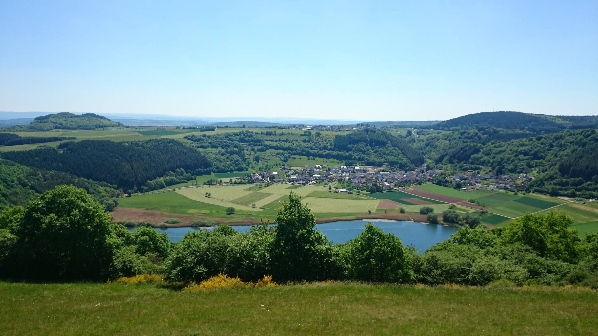
Very nice place and viewing point at the Maarkreuz above the Schalkenmehrener Maar. With its inscription "You are called the Maar Cross, for the salvation of us and this country. Emergency year 1932", the cross commemorates severe thunderstorms and the resulting damage and crop failures.
12
0

Very well preserved ruin. Exploring them with children is a very special experience. Especially nice in late spring when the trees all around are fresh green.
8
0
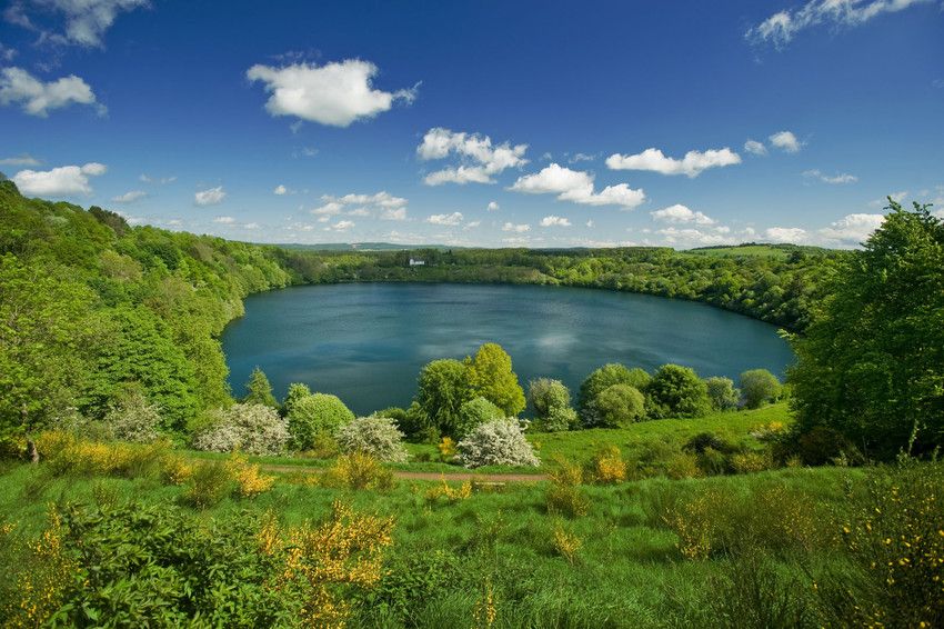
The Nerother Kopf is an extinct volcano of recent date. It was formed about 15,000 years ago when the earth broke up here and glowing magma welled up from the depths of the earth. At that time, a fracture zone formed in the earth rock, which formed the origin of the volcanic chain "West Eifel". https://www.neroth.de/tourismus/nerother-kopf
6
0
The Millstone Cave is located at the summit of the Neroth Head, a wooded hill of volcanic origin east of Neroth. The entrance is just below the Freudenkoppe castle ruins at an altitude of about 640 m and can be reached via a hiking trail. The cave is 18 meters deep and its vault up to 10 meters high. It is walkable, but unlit (torch required). Wikipedia
5
0
メアーフェルトでのの人気観光スポット

komootモバイルアプリでインスピレーションを得よう


さらに探索
これらのガイドでさらに素晴らしい頂上を見てみましょうメアーフェルトでの:
