ホントハイムの絶景の山頂・トップ10
Hontheim周辺の最高の山頂は、ドイツのフォーゲルアイフェル地方南部にある、標高の高い地形、鬱蒼とした森、なだらかな丘が特徴です。この地域は標高約385メートルの高原に位置しています。伝統的なそびえ立つような山頂はありませんが、この地域は多様なハイキングの機会と景色の良い眺めを提供します。地形には、特にコンデルヴァルトの森やバート・ベトリッヒの近くにある、木々に覆われた山脈や急な斜面が含まれます。
Hontheim周辺の最高の山頂
- 最も人気のある山頂は、モーゼル川の眺めが際立つ展望台であるカルモント頂上十字からのモーゼル川ループの眺めです。頂上十字は最適な眺めのために戦略的に配置されています。
- もう一つの必見の場所は、展望台であるカルモント頂上下のモーゼル川の湾曲部のパノラマビューです。この展望ポイントからは、モーゼル川ループの谷の最高の眺めの一つが得られ、モーゼル川渓谷における自然、文化、景観の統一性を表しています。
- 訪問者に人気なのは、ブルゲンクライムシュタイクの頂上十字です。この頂上十字は、クライムシュタイクの第3ステージの終点をマークしており、素晴らしい眺めを提供します。
- ホンテイムは、標高の高い森林地帯、急な斜面、景色の良い展望台で知られています。この地域には、小川の谷や多様な森林タイプなど、探索できるさまざまな自然の特徴があります。
- ホンテイム周辺の山頂は、komootコミュニティによって高く評価されており、4000以上の「いいね!」と、訪問者によって共有された2500以上の写真があります。
最終更新日: 9月 5, 2026
カールモント山頂の十字架から眺めるモーゼル川の蛇行
ハイライト • 展望台
翻訳者 Google •
役立つ情報 は

カールモント山頂下に広がるモーゼル川の蛇行のパノラマビュー
ハイライト • 展望台
翻訳者 Google •
役立つ情報 は

今すぐサインアップして、こんな場所を発見しよう
最高のシングルトラック、ピーク、その他のエキサイティングなアウトドアスポットのおすすめを受け取ろう。
トーデスアングスト展望台
ハイライト • 展望台
翻訳者 Google •
役立つ情報 は
ペータースベルクから望むモーゼル川とネーフの眺め
ハイライト • 展望台
翻訳者 Google •
役立つ情報 は

ノイエルブルガー・コップ 🌄🏔️🤓 #地元の山 #山頂 🚵♂️🏃♂️❤️
ハイライト • 展望台
翻訳者 Google •
役立つ情報 は

無料でサインアップして、さらに多くの山を発見しましょう ホントハイムでの。
すでにアカウントをお持ちですか?
無料アカウントで今日から始めよう
次の冒険が待っています。
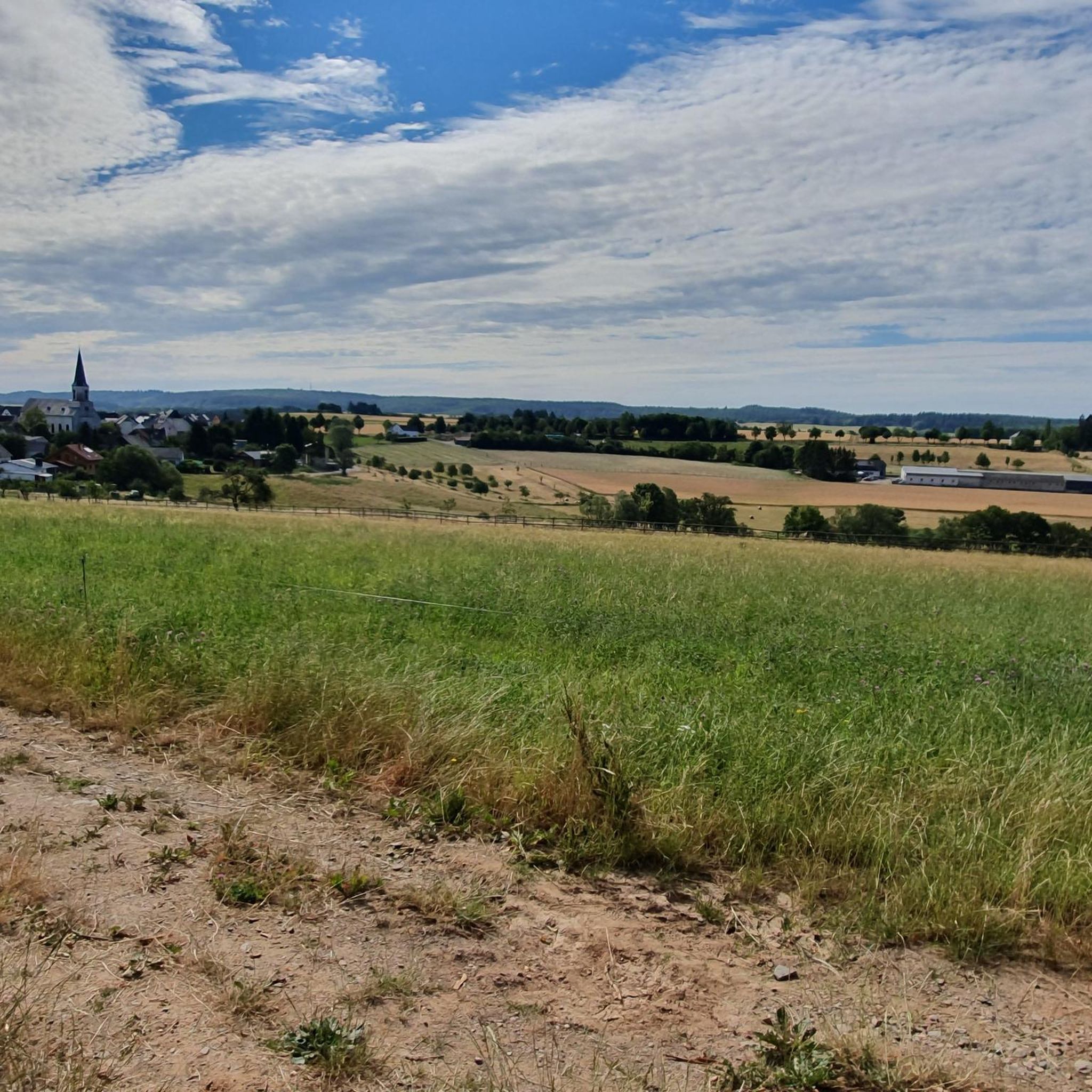
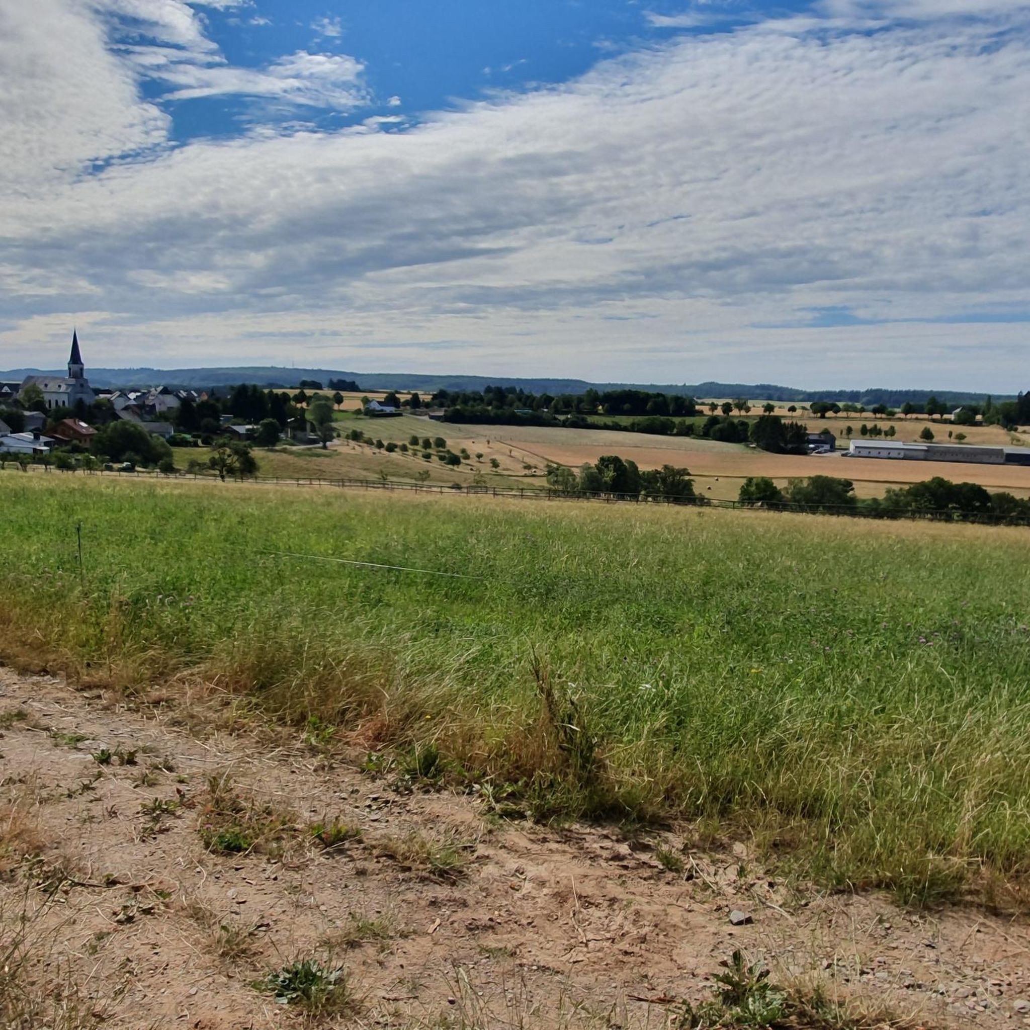
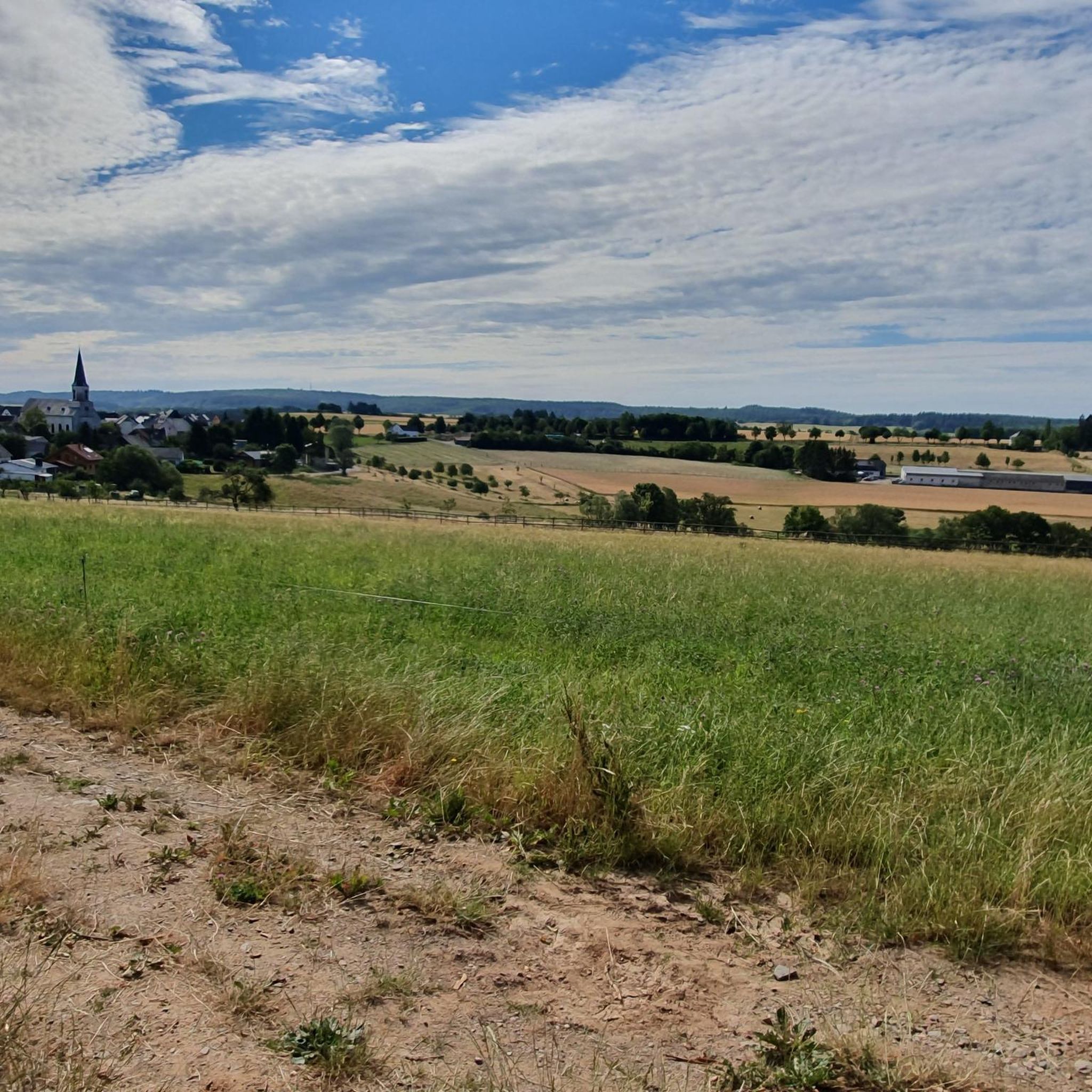
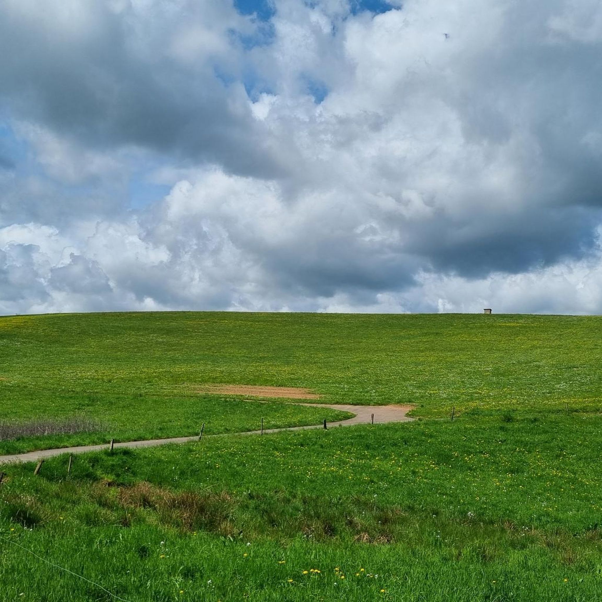
コミュニティからのヒント

ノイアーブルガー・コプフは1000万年前に噴火した火山です。頂上には避難小屋があります。頂上の下には、自然の中に祈りの場(十字架)があります。
0
0

Trail up to the cross, then a final sprint and then back down the wide path with the great view. Fun! 🌄🏃♂️📯
1
0

Great to ride up on a mountain bike. But it's better to push the last 10m
2
0

Please be kind, there is an official Moselle webcam up here that sends pictures to the Internet, so smile 😀
3
0

The volcanic cone was formed 108 million years ago. Magma penetrated the Devonian sandstone layers and solidified below the earth's surface. This passage or chimney made of hard basalt protected the surrounding sandstone from erosion, leaving the conical shape of the Neuerburger Kopf, which is still clearly visible today. Classified as belonging to the Cretaceous period, the Neuerburger Kopf and the neighboring Lüxeberg are the oldest volcanic features in the Eifel. The Neuerburger Kopf was formerly called Merkuriusberg (Mercurius, Roman god of trade). The former name is explained by the Roman trade and military roads that crossed next to it. The current name refers to a castle. Archbishop Albero (1131-1152) had a "novum castrum" (= new castle) built, which was completed in 1168 by Archbishop Hillin and expanded by Archbishop Henry II (1260-1286). The castle was used primarily to collect customs duties on the neighboring trade route and was one of the seven castles of the Electorate of Trier, along with Manderscheid, Arras, Saarburg, Grimburg, Welschbillig and Ehrenbreitstein. The last inhabitants of Hatzdorf, which had been ravaged by the plague and abandoned, settled under the protection of the castle and founded the village of Neuerburg. Neuerburg Castle was most likely destroyed in 1689 by the French Marshal François de Créquy, who also had Wittlich destroyed from Mont Royal. Today only a few remains of the walls can be found.
2
0

From this vantage point you have one of the best valley views of the Moselle loop.
76
0
The Calmont is a prominent peak on the Moselle. The highest elevation is 380 meters high. Interestingly, the Calmont summit cross is not at the highest point, but below it. This may be because the Calmont is a ridge above the Moselle. The location of the summit cross offers a prominent view of the Moselle - better than from the highest point. Therefore, the summit cross makes much more sense at this point. Source: https://www.calmont-klettersteig-moselschleife.de/calmont/
77
0
A covered, clean rest area with a great view again.
56
1

komootモバイルアプリでインスピレーションを得よう


さらに探索
これらのガイドでさらに素晴らしい頂上を見てみましょうホントハイムでの:
