高アトラス山脈のおすすめウォーキング&ハイキングルート
4.5
(2845)
20,407
ハイカー
156
ハイキング
高アトラス山脈でのハイキングに出かけて、モロッコのこのエリアを探索してみませんか?このガイドでご紹介するのは、komootが高アトラス山脈でのハイキング・ウォーキングルートのコレクション全体を評価して選び抜いた、このエリアの人気ハイキングルートです。あなたに合った でのハイキングを見つけるには、他のユーザーがアップロードした役立つ情報や写真を閲覧し、各ルートに関するみんなの意見やコメントを参考にしましょう。
最終更新日: 9月 4, 2026
4.7
(356)
1,626
ハイカー
8.81km
03:33
570m
570m
中程度のハイキング. ある程度のフィットネスレベルが必要です。 全般的に進みやすいルートです。安定して歩行できる技術が必要です。
4.7
(182)
751
ハイカー
14.7km
04:47
630m
630m
中程度のハイキング. ある程度のフィットネスレベルが必要です。 進みやすいルートです。あらゆるスキルレベルに適しています。

無料新規登録
4.7
(172)
752
ハイカー
13.6km
03:59
260m
260m
中程度のハイキング. ある程度のフィットネスレベルが必要です。 全般的に進みやすいルートです。安定して歩行できる技術が必要です。
4.7
(206)
715
ハイカー
9.57km
03:14
450m
450m
中程度のハイキング. ある程度のフィットネスレベルが必要です。 全般的に進みやすいルートです。安定して歩行できる技術が必要です。
4.6
(89)
386
ハイカー
8.13km
02:30
180m
180m
中程度のハイキング. ある程度のフィットネスレベルが必要です。 全般的に進みやすいルートです。安定して歩行できる技術が必要です。
4.6
(101)
544
ハイカー
8.45km
02:41
310m
310m
中程度のハイキング. ある程度のフィットネスレベルが必要です。 全般的に進みやすいルートです。安定して歩行できる技術が必要です。
4.6
(86)
454
ハイカー
7.40km
02:27
300m
300m
中程度のハイキング. ある程度のフィットネスレベルが必要です。 全般的に進みやすいルートです。安定して歩行できる技術が必要です。
4.7
(106)
595
ハイカー
11.1km
04:16
650m
650m
中程度のハイキング. ある程度のフィットネスレベルが必要です。 全般的に進みやすいルートです。安定して歩行できる技術が必要です。
4.5
(72)
246
ハイカー
8.95km
02:44
200m
200m
中程度のハイキング. ある程度のフィットネスレベルが必要です。 全般的に進みやすいルートです。安定して歩行できる技術が必要です。
4.5
(62)
271
ハイカー
18.2km
06:38
990m
990m
難しいハイキング. 標準以上のフィットネスレベルが必要です。 全般的に進みやすいルートです。安定して歩行できる技術が必要です。
さらに多くのルートや他のユーザーのおすすめ情報を確認できます。
無料新規登録
すでにアカウントをお持ちですか?
おすすめのツアーは他のkomootユーザーが実際に経験した何千ものアクティビティに基づいています。
無料アカウントで今日から始めよう
次の冒険が待っています。
ログインまたは登録
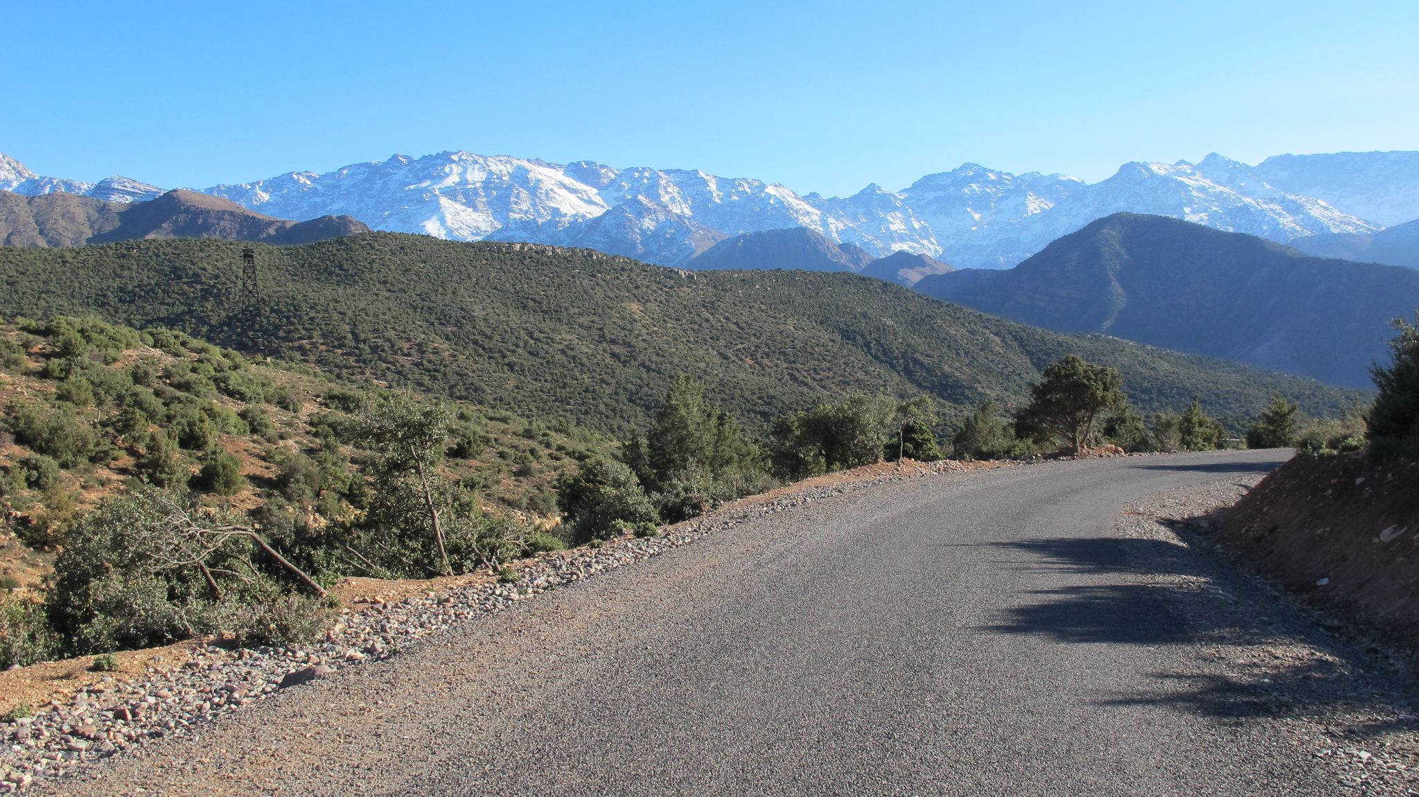
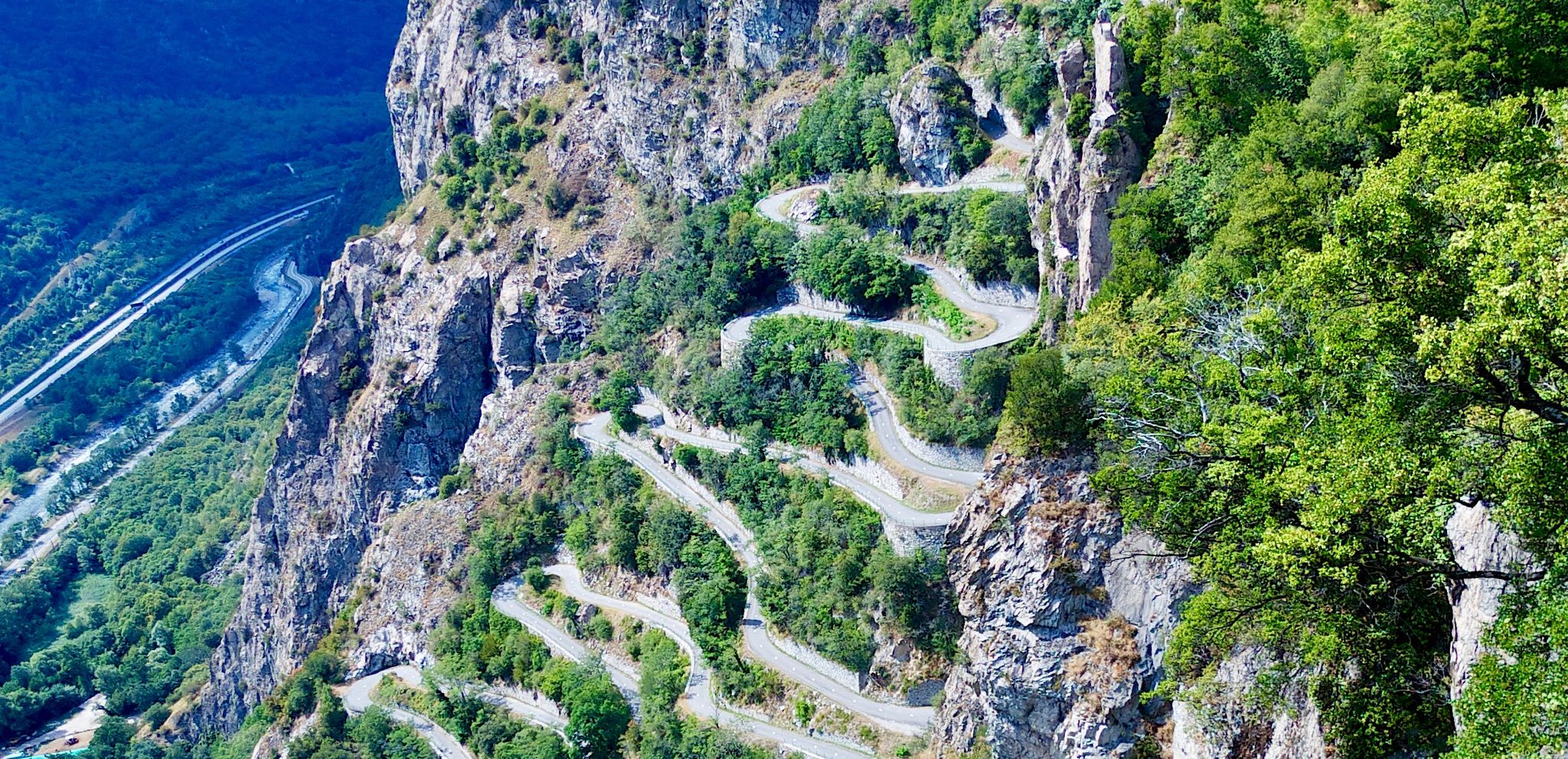
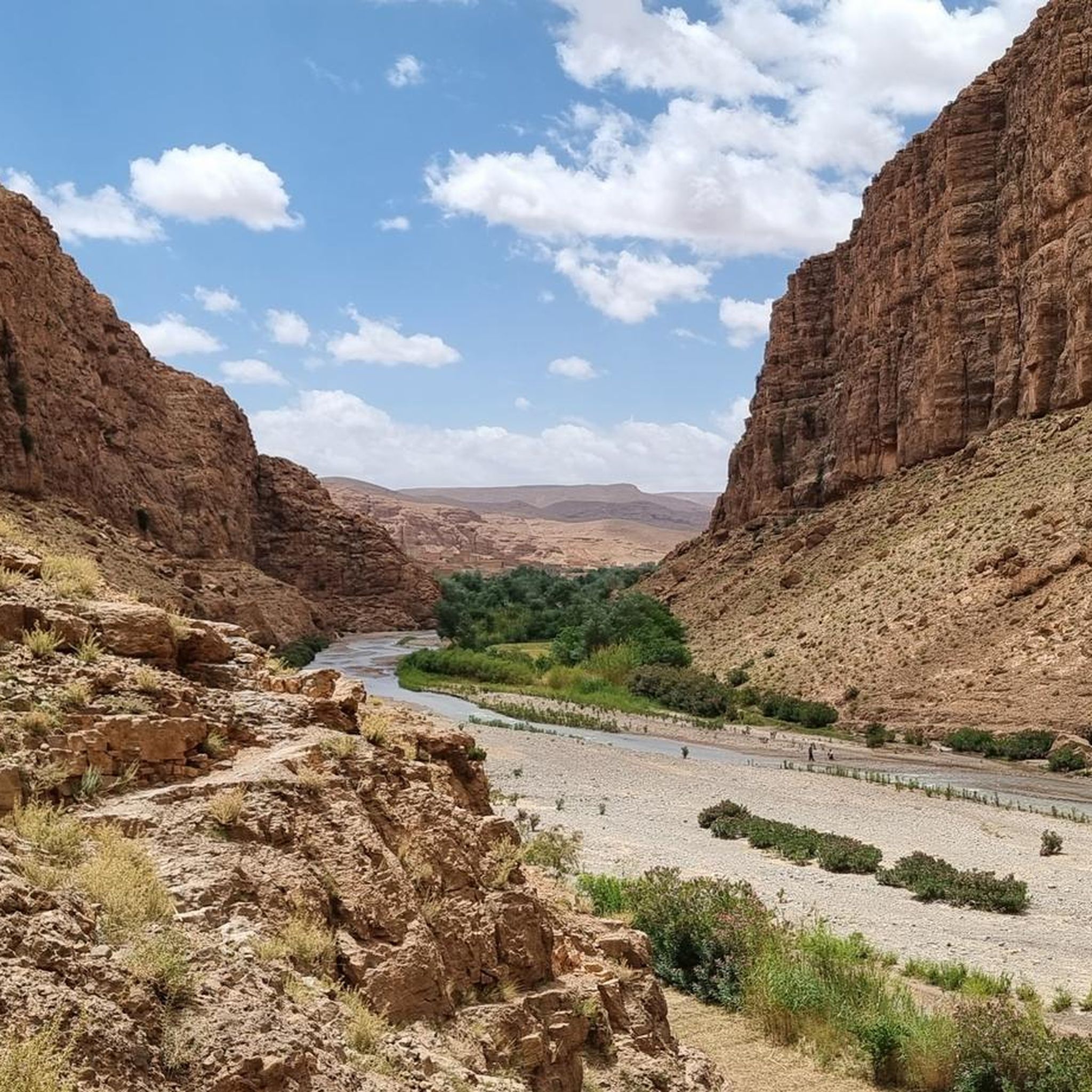
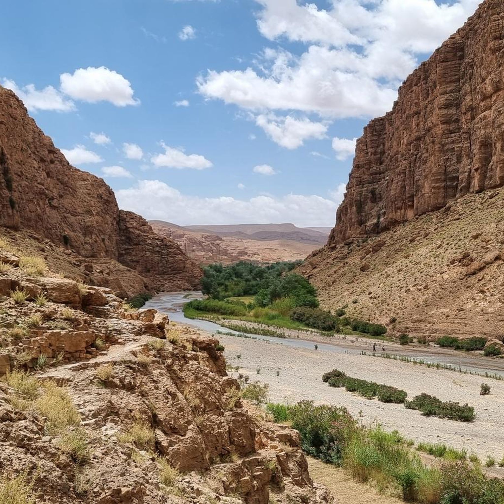
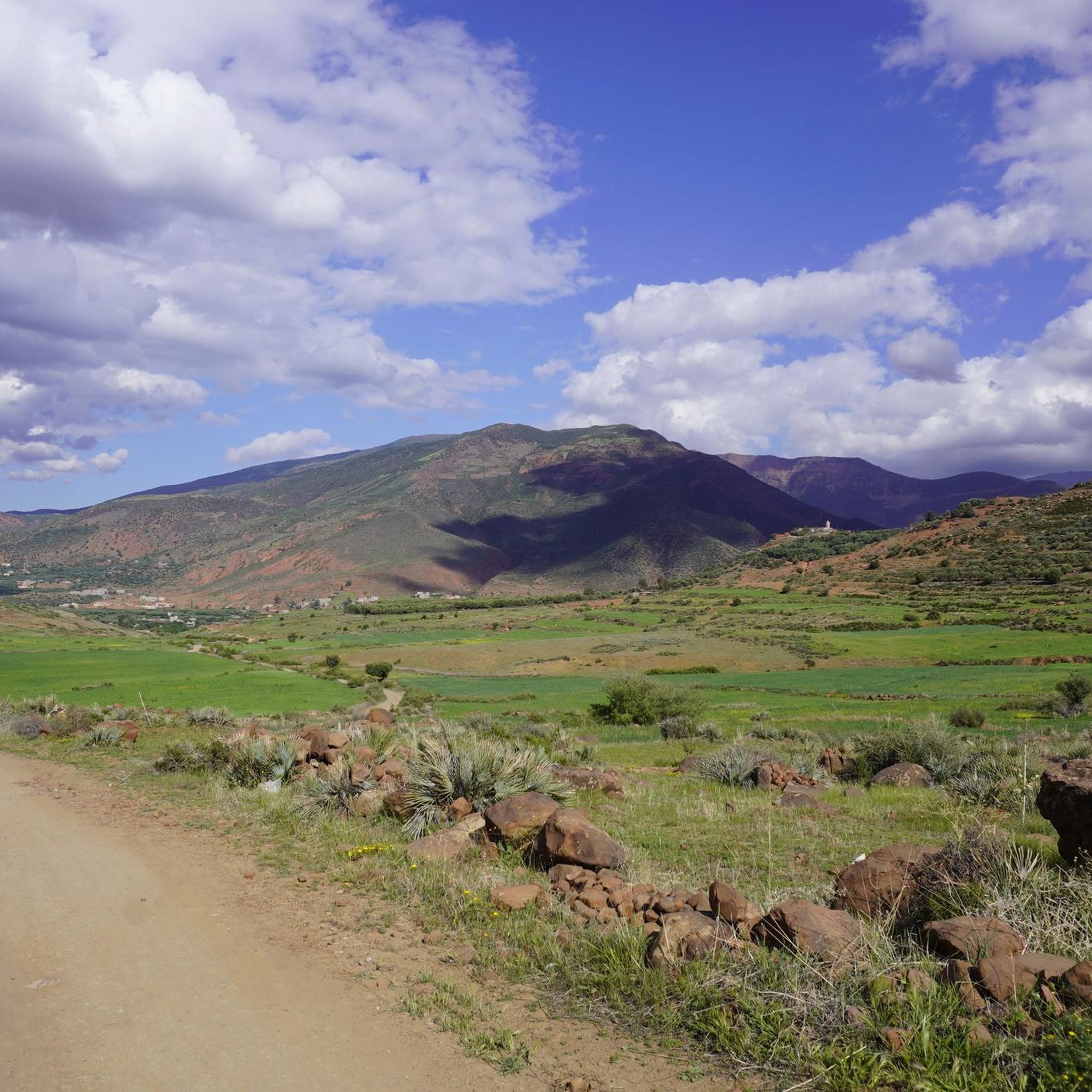
高アトラス山脈でのの他の冒険


コミュニティからのヒント


ここは中間のビューポイントです。上のビューポイントまでさらに300mで、暑い中1〜1.5時間かかると推定します。
0
0

The hike we did with Houcene was a fantastic experience. He showed us incredible places in the valley and canyon. We completed the loop, and the view was breathtaking. Although the hike was a bit strenuous for us, Houcene (0603024716) was able to adapt his pace to everyone's level. Thanks to him, we were able to walk for almost 2.5 hours without too much trouble. A huge thank you to Houcene for his kindness, his explanations, and this wonderful introduction to the region.
0
0
The hike we did with Houcene was a fantastic experience. He showed us incredible places in the valley and canyon. We completed the loop, and the view was breathtaking. Although the hike was a bit strenuous for us, Houcene (0603024716) was able to adapt his pace to everyone's level. Thanks to him, we were able to walk for almost 2.5 hours without too much trouble. A huge thank you to Houcene for his kindness, his explanations, and this wonderful introduction to the region.
0
0

Attention! To complete this route (Monkey Fingers Canyon - End of the Dades Gorge Loop from Ait Ouglif), you must be able to climb! There are some sections that are not easy to navigate. Since we somewhat recklessly started this route in the late afternoon, we found ourselves in a very challenging section as dusk fell, where a local (rather spontaneous) guide found us and helped us. Further information can be found in Svenja's comment.
0
0
Attention! To complete this route (Monkey Fingers Canyon - End of the Dades Gorge Loop from Ait Ouglif), you must be able to climb! There are some sections that are not easy to navigate. Since we somewhat recklessly started this route in the late afternoon, we found ourselves in a very challenging section as dusk fell, where a local (rather spontaneous) guide found us and helped us. Further information can be found in Svenja's comment.
0
0
Attention! To complete this route (Monkey Fingers Canyon - End of the Dades Gorge Loop from Ait Ouglif), you must be able to climb! There are some sections that are not easy to navigate. Since we somewhat recklessly started this route in the late afternoon, we found ourselves in a very challenging section as dusk fell, where a local (rather spontaneous) guide found us and helped us. Further information can be found in Svenja's comment.
0
0

This is the route: Monkey Fingers Canyon - End of the Dades Gorge Loop from Ait Ouglif. Note: The route through the gorge is easy up to waypoint 7. From there on, some climbing is required. Between waypoints 7 and 8, you'll come to an inverted "C" on the route map. There, you'll need to climb over the large rocks and deviate from the route. You'll then rejoin the route. There might also be a path below the rocks. Be careful at waypoint 8; more climbing is definitely required here than at waypoint 7. There's a tree and then a large rock in the crevice. You need to climb up this rock, then turn right into the gorge. There you'll find an easy path up the rocks and can then follow a very pleasant hiking trail. If a local guide picks you up at waypoint 8, use the route described above. You'll rejoin the route.
0
0

komootモバイルアプリでインスピレーションを得よう


さらに探索
他の地域の最高のハイキングを見てみましょう。
