オートマルヌのおすすめウォーキング&ハイキングルート
4.3
(1910)
9,108
ハイカー
529
ハイキング
オートマルヌでのハイキングに出かけて、グレートイーストのこのエリアを探索してみませんか?このガイドでご紹介するのは、komootがオートマルヌでのハイキング・ウォーキングルートのコレクション全体を評価して選び抜いた、このエリアの人気ハイキングルートです。あなたに合った でのハイキングを見つけるには、他のユーザーがアップロードした役立つ情報や写真を閲覧し、各ルートに関するみんなの意見やコメントを参考にしましょう。
最終更新日: 10月 10, 2026
4.5
(50)
180
ハイカー
10.4km
02:55
210m
200m
中程度のハイキング. ある程度のフィットネスレベルが必要です。 進みやすいルートです。あらゆるスキルレベルに適しています。
4.5
(37)
179
ハイカー
15.4km
03:58
80m
80m
中程度のハイキング. ある程度のフィットネスレベルが必要です。 進みやすいルートです。あらゆるスキルレベルに適しています。

4.0
(9)
29
ハイカー
23.3km
06:03
130m
220m
難しいハイキング. 標準以上のフィットネスレベルが必要です。 進みやすいルートです。あらゆるスキルレベルに適しています。
4.5
(26)
156
ハイカー
6.72km
01:45
40m
40m
Hike an easy 4.2-mile (6.7 km) loop around Lac de la Mouche from Perrancey-les-Vieux-Moulins, enjoying peaceful lake views.
4.5
(31)
130
ハイカー
8.62km
02:12
30m
30m
Hike the moderate 5.4-mile Tour of Lac de la Vingeanne, offering lake views, diverse terrain, and birdwatching opportunities.
4.5
(2)
6
ハイカー
18.4km
04:46
170m
50m
中程度のハイキング. ある程度のフィットネスレベルが必要です。 進みやすいルートです。あらゆるスキルレベルに適しています。
3.0
(1)
6
ハイカー
24.9km
06:49
350m
470m
難しいハイキング. 標準以上のフィットネスレベルが必要です。 進みやすいルートです。あらゆるスキルレベルに適しています。
3.0
(1)
4
ハイカー
22.7km
06:08
330m
230m
難しいハイキング. 標準以上のフィットネスレベルが必要です。 進みやすいルートです。あらゆるスキルレベルに適しています。
2
ハイカー
12.0km
03:11
120m
120m
中程度のハイキング. ある程度のフィットネスレベルが必要です。 進みやすいルートです。あらゆるスキルレベルに適しています。
1
ハイカー
21.4km
05:39
220m
190m
難しいハイキング. 標準以上のフィットネスレベルが必要です。 進みやすいルートです。あらゆるスキルレベルに適しています。
さらに多くのルートや他のユーザーのおすすめ情報を確認できます。
すでにアカウントをお持ちですか?
おすすめのツアーは他のkomootユーザーが実際に経験した何千ものアクティビティに基づいています。
無料アカウントで今日から始めよう
次の冒険が待っています。
オートマルヌ周辺で人気
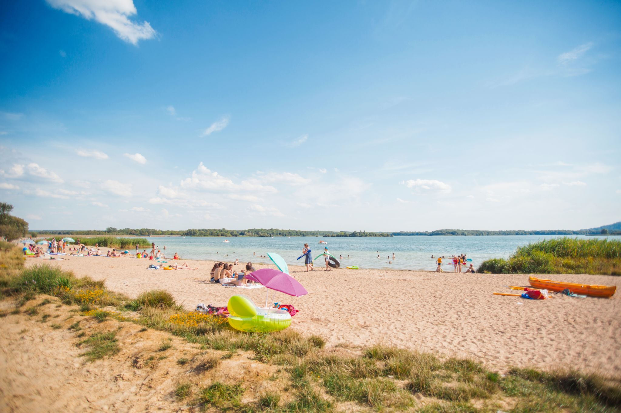
Walking in fresh air or alongside water in the Grand Est
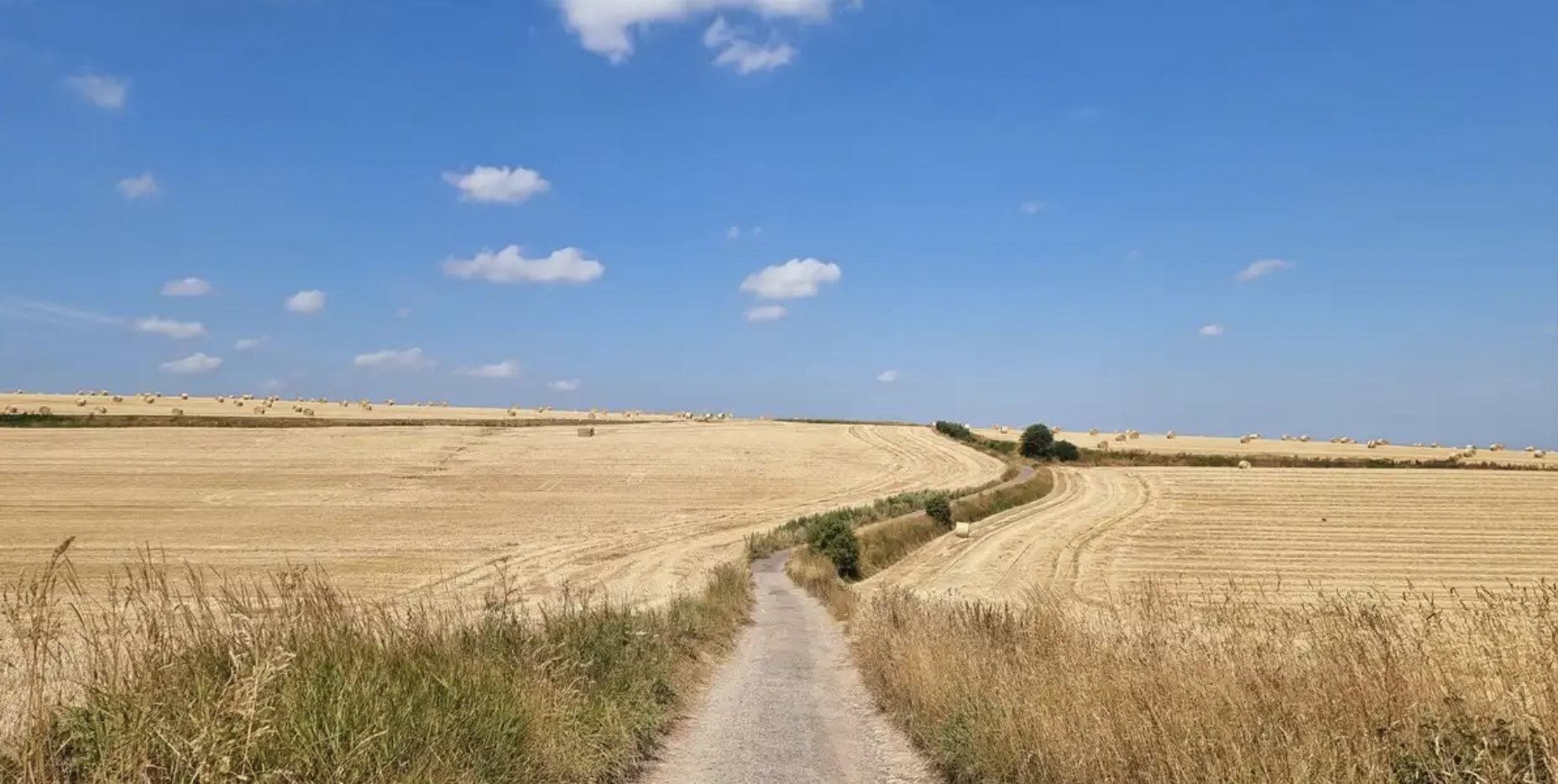
歴史の足跡を追う — GR 145、ヴィア・フランチジェーナ
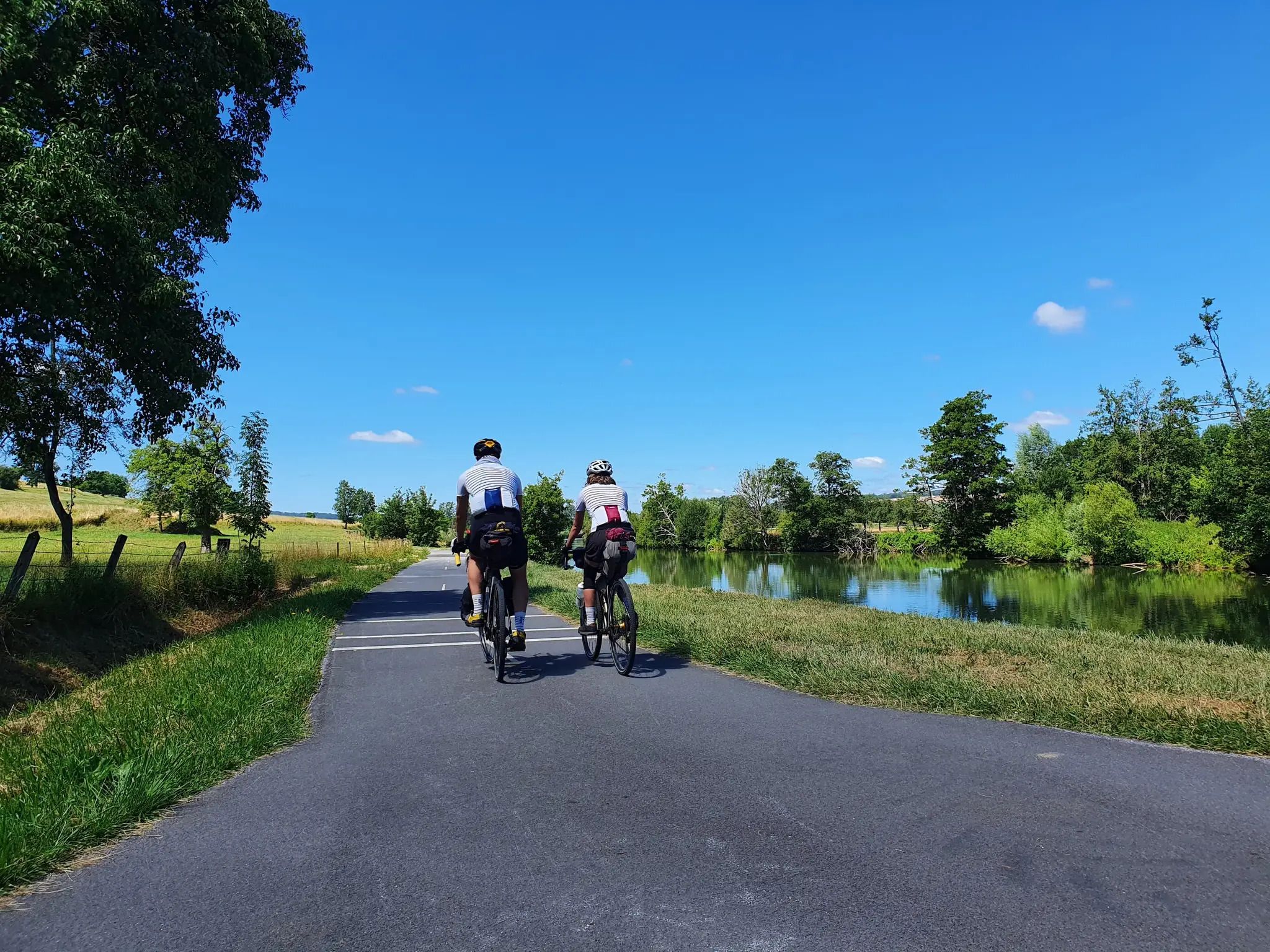
A river, three countries, countless experiences – Meuse Cycle Route
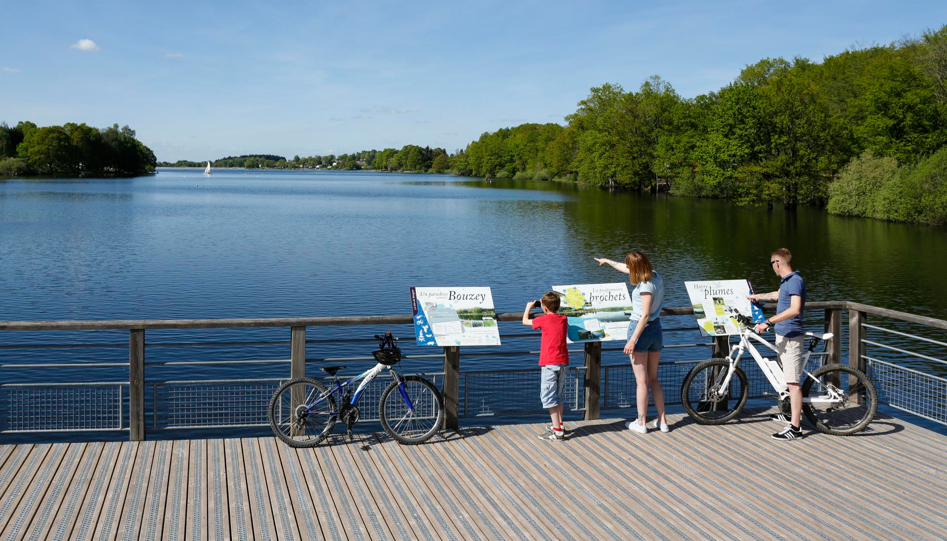
Family getaways – cycling in the Grand Est
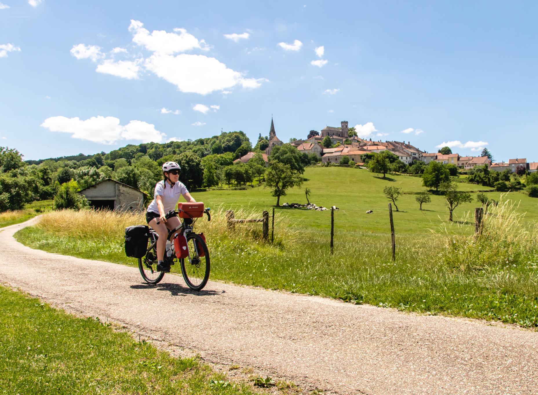
Bikepacking in Grand Est – the must-see routes
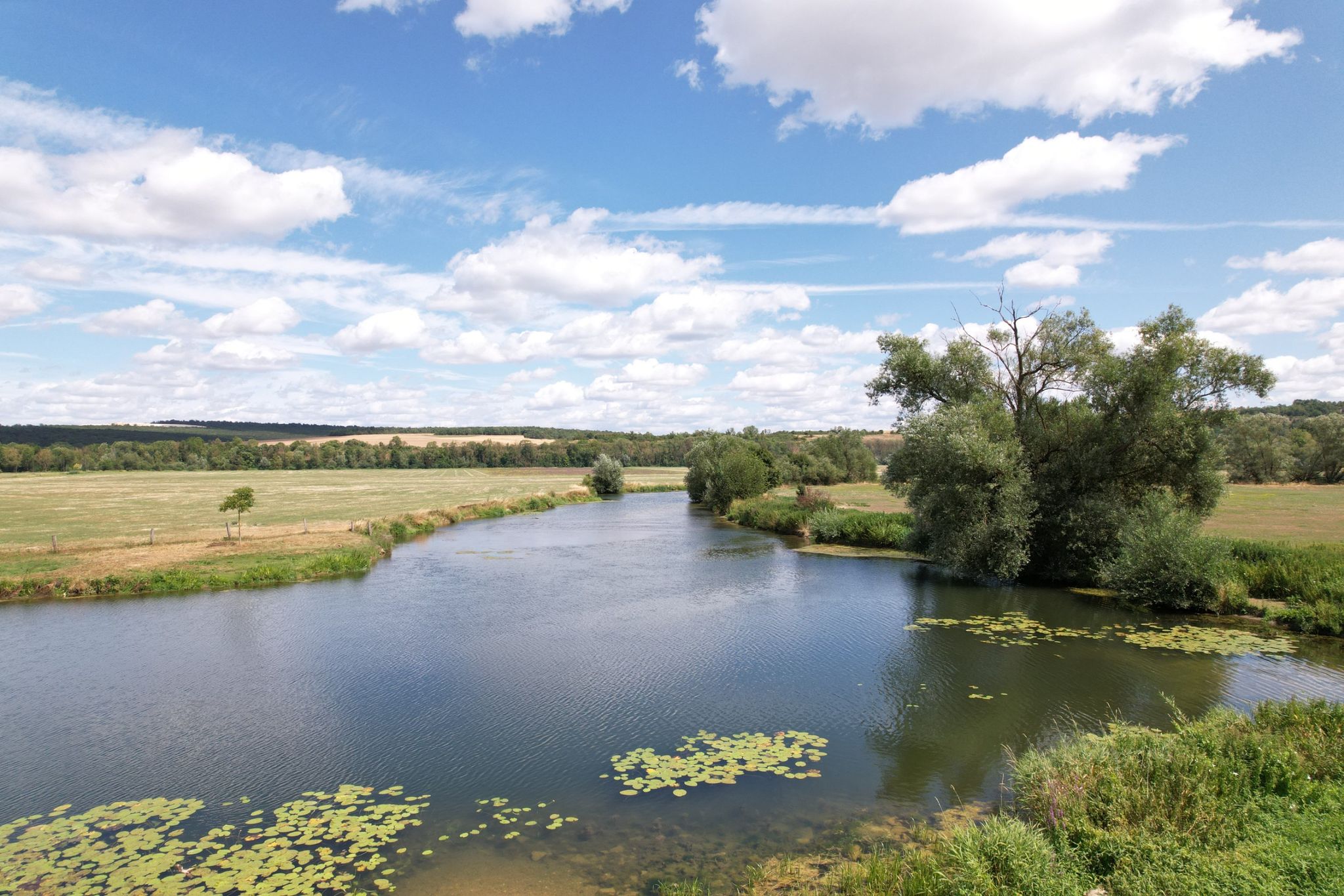
モーズ川沿いの冒険 - ユーロベロ19
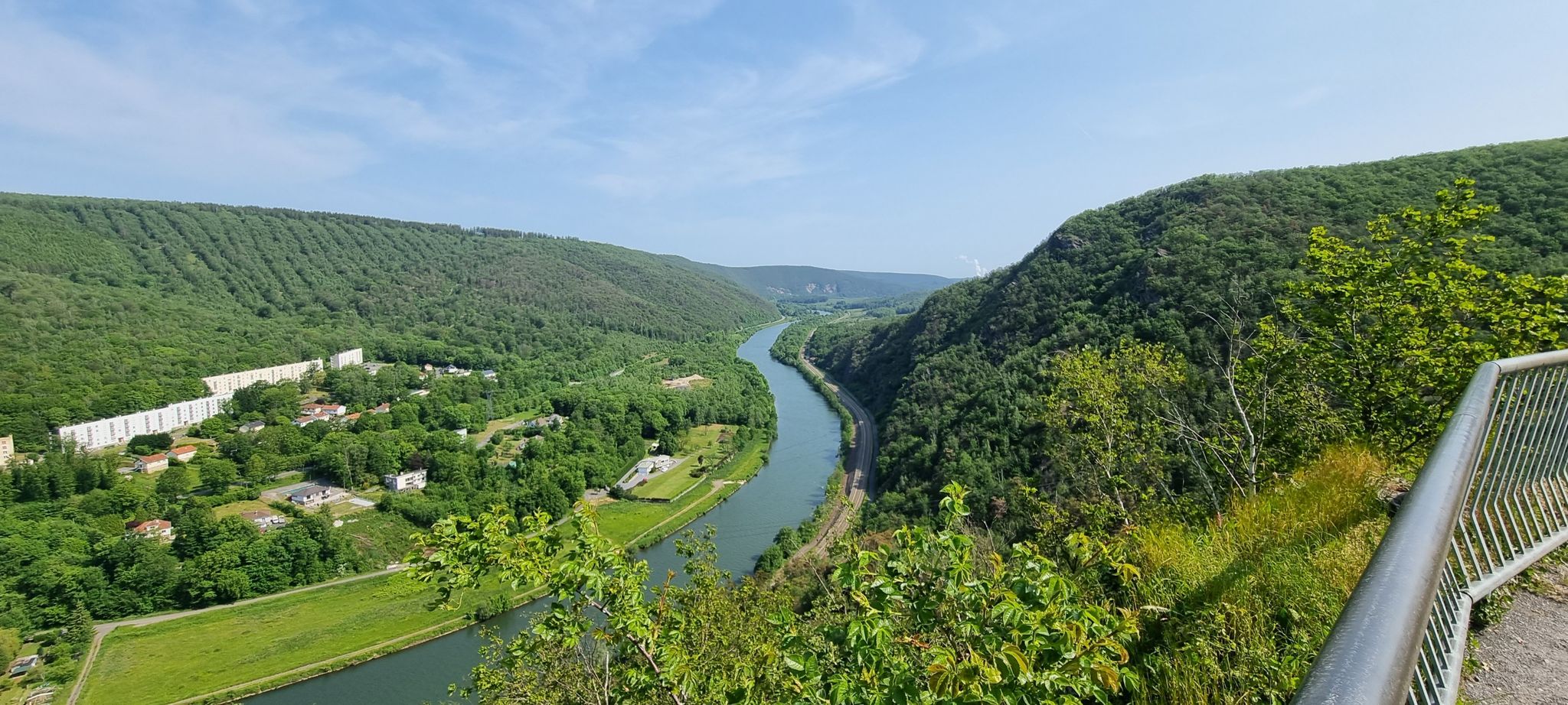
第一次世界大戦の足跡を追う — EuroVelo 19
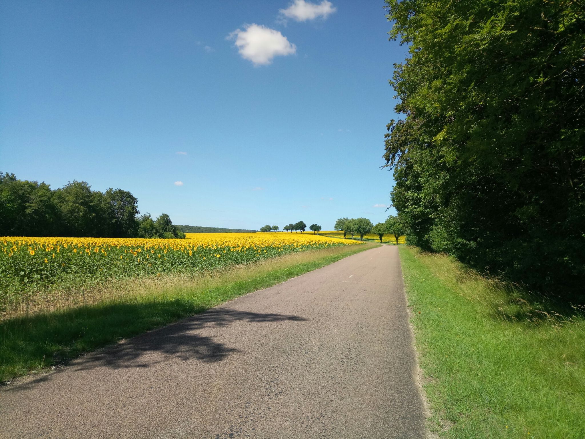
オート・マルヌからオート・ソーヌへ-フランスのフォレ国立公園を探索する
オートマルヌのランニングコース
オートマルヌでのサイクリング
オートマルヌでのの他の冒険


コミュニティからのヒント

A very beautiful little path between a small moat and the stream. Everything looks very idyllic, like something out of a fairytale.
0
0

A very beautiful circular route around Lac de la Liez, whether on foot or by bike.
0
0

Originally, Lake Liez was called “Lecey dyke”. This is linked to the digging of the Marne-Saône canal. The Liez dam is 490 meters long and 16 meters high. It is the largest of the four feeding lakes of the upper reach of the canal between Champagne and Burgundy.
2
0

Lac de la Mouche is surrounded by forests and villages where you can admire views of the water and wildlife, as well as the impressive semi-viaduct dam that holds back the lake. The trail is easy and well marked, and you can access it all year round.
2
0
Lac de la Liez beach is a sandy beach which offers a beautiful view of the lake and the dam. You can swim in the lake when the green flag is raised, which means the water quality and safety are good. The beach also has a solarium, volleyball court, playground and picnic area. A first aid station and toilets will make your task easier. The beach is open from June to September, from 1:30 p.m. to 7 p.m.
2
0
From there, you can take a short break from your run to enjoy the view of the lake.
2
0
La Tufière d'Amorey is a natural site where water and limestone create a unique landscape of waterfalls and pools. It is a rare and fragile ecosystem that deserves respect and protection.
4
0
Auberive Abbey is a 12th century Cistercian abbey located in the heart of the Champagne and Burgundy Forests National Park, a protected area of rich biodiversity. You can explore the abbey's architecture, gardens and orchards, as well as its impressive contemporary art collection which features over 2,000 works by over 300 artists. The abbey also organizes cultural events, workshops and guided tours throughout the year. Whether you are a fan of ancient or modern art, or simply enjoy a peaceful walk in the countryside, Auberive Abbey is a place worth discovering.
4
1
オートマルヌでのの人気観光スポット

komootモバイルアプリでインスピレーションを得よう


さらに探索
他の地域の最高のハイキングを見てみましょう。
