オートコルスのおすすめウォーキング&ハイキングルート
4.4
(34222)
205,517
ハイカー
1,955
ハイキング
オートコルスでのハイキングに出かけて、コルシカ島のこのエリアを探索してみませんか?このガイドでご紹介するのは、komootがオートコルスでのハイキング・ウォーキングルートのコレクション全体を評価して選び抜いた、このエリアの人気ハイキングルートです。あなたに合った でのハイキングを見つけるには、他のユーザーがアップロードした役立つ情報や写真を閲覧し、各ルートに関するみんなの意見やコメントを参考にしましょう。
最終更新日: 10月 10, 2026
4.8
(590)
2,631
ハイカー
13.0km
03:48
360m
360m
Hike the moderate 8.1-mile Mare à Mare Nord Trail through Corsica's Tavignano Gorges, featuring granite cliffs, clear pools, and the Russuli
4.7
(413)
2,432
ハイカー
8.09km
02:23
220m
220m
Hike the moderate 5.0-mile Pointe de la Revellata Loop Trail for stunning coastal views, secluded coves, and the iconic La Revellata Lightho

4.9
(166)
1,117
ハイカー
7.67km
03:54
580m
580m
難しいハイキング. ある程度のフィットネスレベルが必要です。 安定して歩行できる技術、丈夫な靴、高標高地での登山経験が必要です。
4.7
(343)
1,775
ハイカー
9.42km
02:31
110m
110m
Hike the moderate 5.9-mile Cap Corse Customs Trail, gaining 350 feet in 2 hours 31 minutes, with coastal views and beaches.
4.8
(226)
1,462
ハイカー
11.0km
05:11
660m
660m
Hike the difficult 6.8-mile Lac de Nino loop in Corsica's Regional Natural Park, featuring unique pozzines and panoramic mountain views.
4.7
(328)
1,438
ハイカー
4.53km
01:56
280m
270m
中程度のハイキング. あらゆるフィットネスレベルに適しています。 全般的に進みやすいルートです。安定して歩行できる技術が必要です。
4.8
(169)
917
ハイカー
7.51km
03:50
660m
660m
Hike the challenging Monte Renosu Trail in Corsica, featuring stunning panoramic views from the summit and the beautiful Lac de Bastani.
4.6
(86)
700
ハイカー
12.2km
08:30
1,260m
1,260m
難しいハイキング. 標準以上のフィットネスレベルが必要です。 安定して歩行できる技術、丈夫な靴、高標高地での登山経験が必要です。
4.7
(124)
596
ハイカー
9.75km
03:29
420m
420m
Hike to the English Waterfall in Corsica Regional Natural Park, a moderate 6.1-mile route with waterfalls and natural pools.
4.6
(86)
697
ハイカー
12.1km
08:26
1,250m
1,250m
難しいハイキング. 標準以上のフィットネスレベルが必要です。 安定して歩行できる技術、丈夫な靴、高標高地での登山経験が必要です。
さらに多くのルートや他のユーザーのおすすめ情報を確認できます。
すでにアカウントをお持ちですか?
おすすめのツアーは他のkomootユーザーが実際に経験した何千ものアクティビティに基づいています。
無料アカウントで今日から始めよう
次の冒険が待っています。
オートコルス周辺で人気
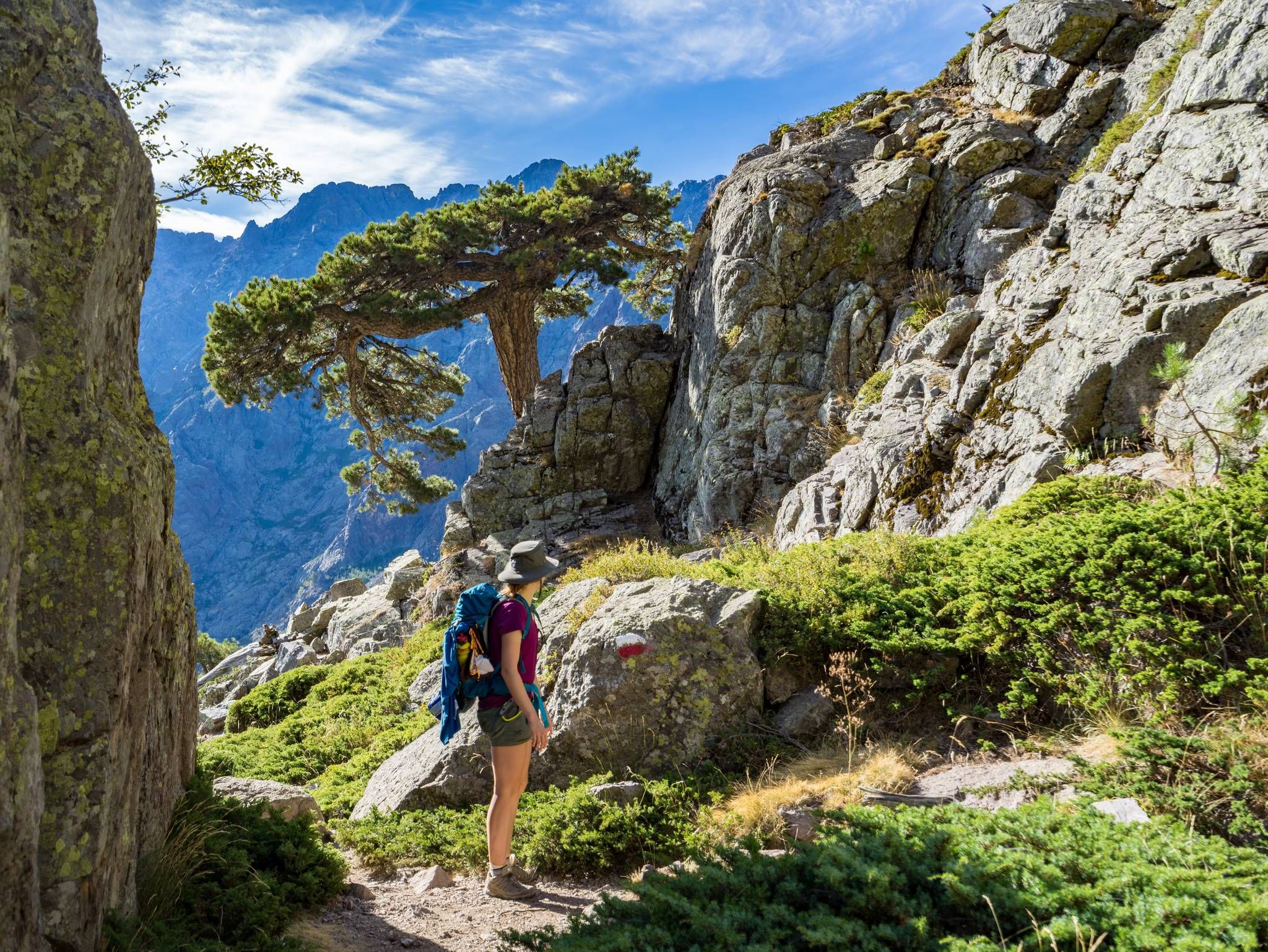
GR20を通ってコルシカを横断する – ヨーロッパで最も過酷な長距離ハイキング・トレイル
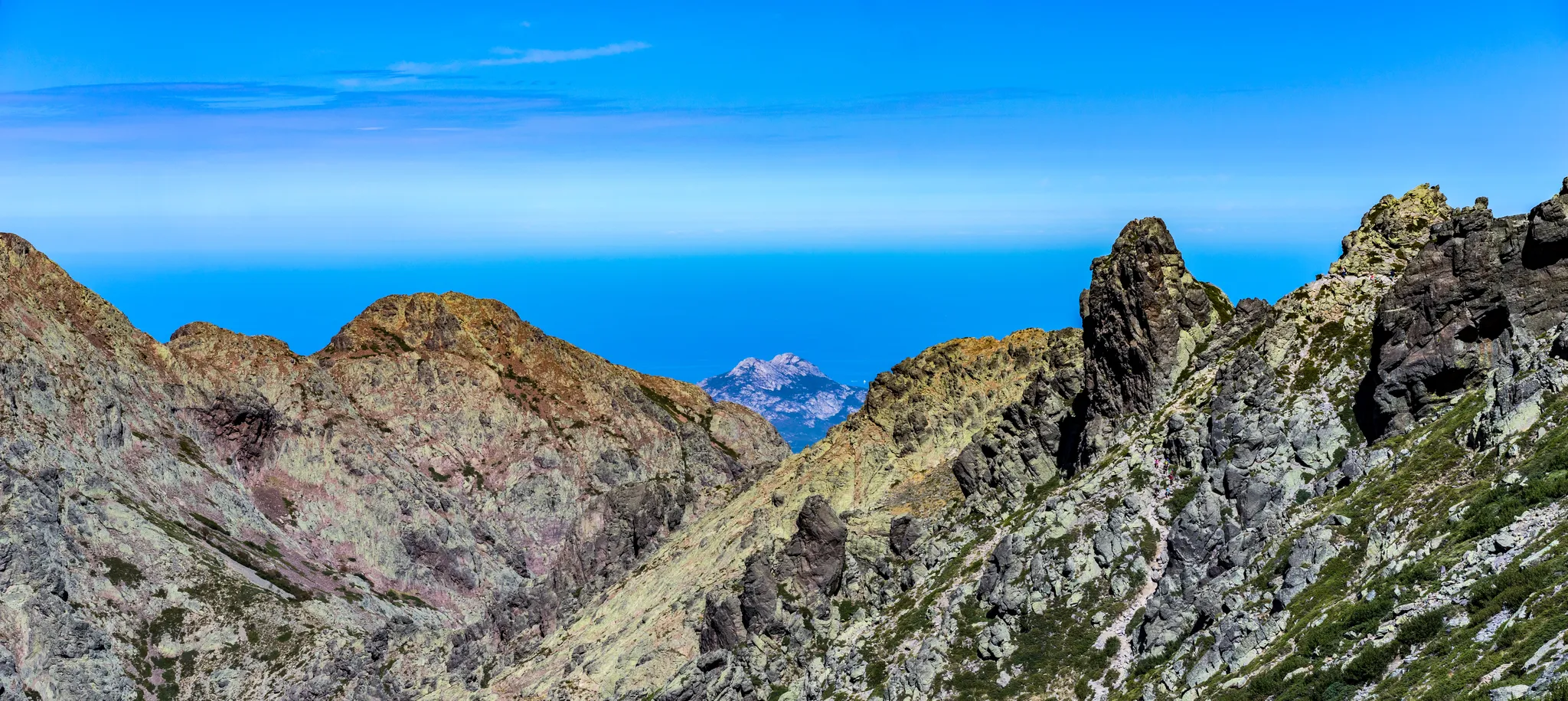
山から海まで - マレ・エ・モンティ北
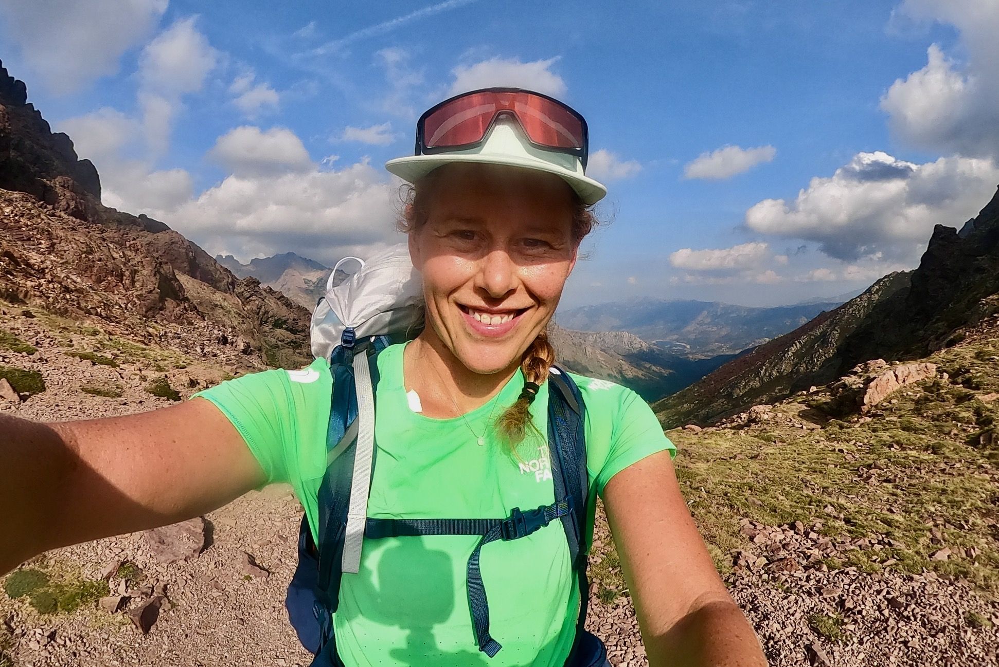
コルシカのGR20の山峰と避難所で6日間バックパッキング
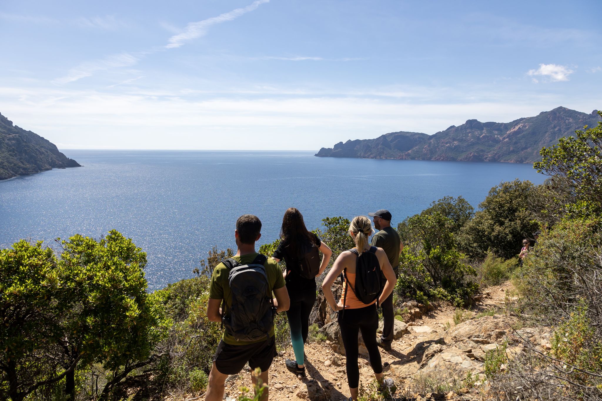
Corsica's discovery hikes — between sea and mountains
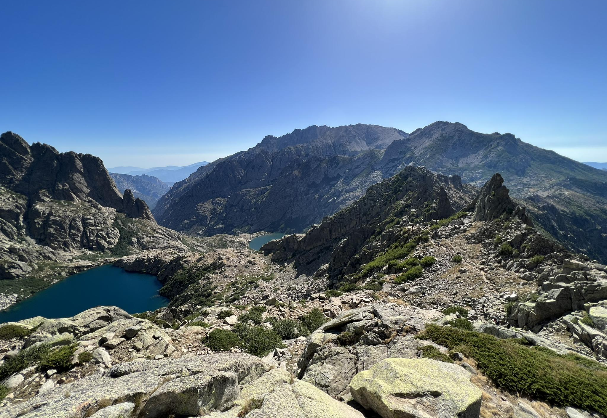
コルシカの素晴らしいハイキング – 自然の地

ハイキングトゥザサミッツ–フランスの最高点
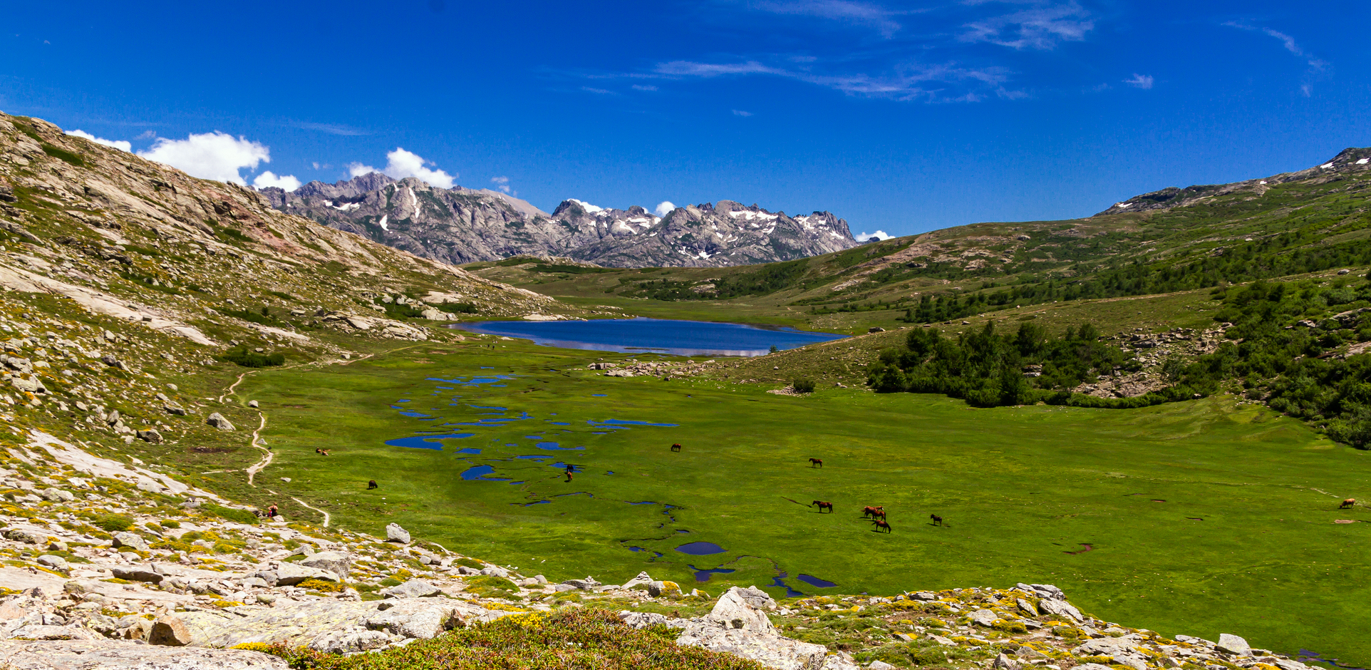
コルシカの羊飼いの足跡を追う – Sentier de la transhumance
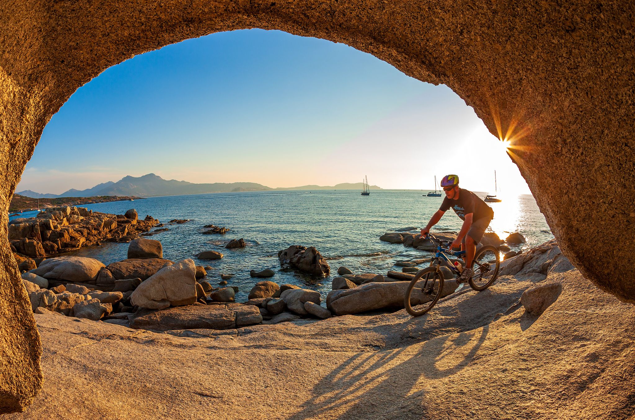
Mountain biking in Corsica – routes between Balagne and Castagniccia
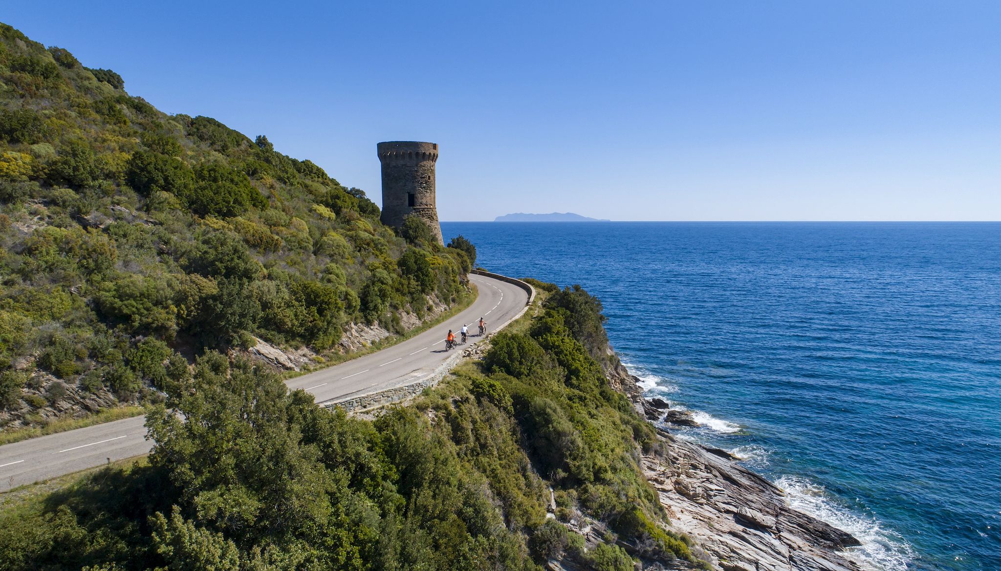
ラ・グランド・トラヴェルセ・ド・ラ・コルス・ア・ヴェロ — ラ・GT 20
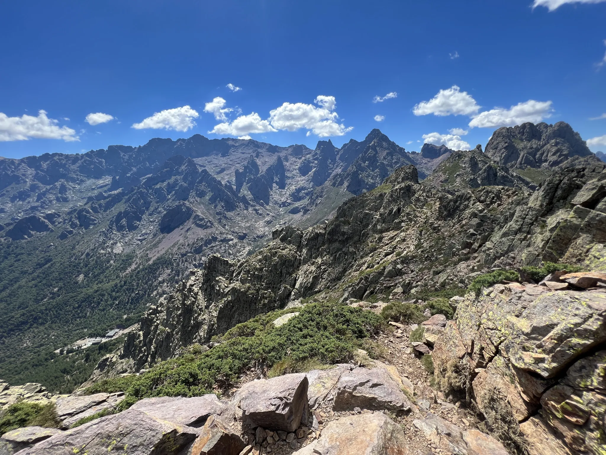
ヨーロッパ最難のトレイルを走る – コルシカのGR 20
オートコルスでのの他の冒険


コミュニティからのヒント


The climb is worth it. Wonderful views of the surrounding mountains!
0
0

Well worth seeing. A half-collapsed tower.
0
0

Unfortunately, you can no longer get to the Bergerie, because a bridge collapsed in 2024. You will be taken by bus from 2 May 6 to 6 km before the Bergerie. Cars must park 10 km below the Bergerie
0
0

This tower was built on a rocky outcrop in 1549 to monitor the Santa Maria harbor. It was partially destroyed in 1793 during the Anglo-Corsican war. Here you have an exceptional panorama between sea and land, on the tower, and the three beaches of the harbor.
0
0

It takes a good two hours to walk from Corte to the bridge. But cooling off in the Gumbe is wonderful
0
2

The hiking area at Lake Melosee is currently (as of May 2024) closed because the access road is not passable!
2
0


komootモバイルアプリでインスピレーションを得よう


