ビューデスハイムの絶景の山頂・トップ6
絶景を目指して登るのであれ、達成感のために登るのであれ、山頂を訪れることで、ビューデスハイムの美しい自然をもっと満喫することができます。6
もの選択肢の中から、制覇する山頂を決めるのは簡単ではありません。スムーズに次の冒険で目指す山頂を選べるように、ビューデスハイムの素晴らしい山頂をこのガイドにまとめました。
最終更新日: 7月 8, 2026
ムンターライからのゲロルシュタインの眺め
ハイライト • 展望台
翻訳者 Google •
役立つ情報 は

ディーツェンライ展望塔
ハイライト • 展望台
翻訳者 Google •
役立つ情報 は

今すぐサインアップして、こんな場所を発見しよう
最高のシングルトラック、ピーク、その他のエキサイティングなアウトドアスポットのおすすめを受け取ろう。
無料新規登録
プリュームのサン・サルヴァトール大聖堂
ハイライト • 宗教的な場所
翻訳者 Google •
役立つ情報 は

ベルリンゲン、ロッケスキル、カッセルブルクを望むジャイアントベンチ
ハイライト • 展望台
Simply fantastic for a nice break.
翻訳者 Google •
役立つ情報 は

Langer Stein と Seimersberg
ハイライト • 山頂
翻訳者 Google •
役立つ情報 は

無料でサインアップして、さらに多くの山を発見しましょう ビューデスハイムでの。
無料新規登録
すでにアカウントをお持ちですか?
無料アカウントで今日から始めよう
次の冒険が待っています。
ログインまたは登録

コミュニティからのヒント

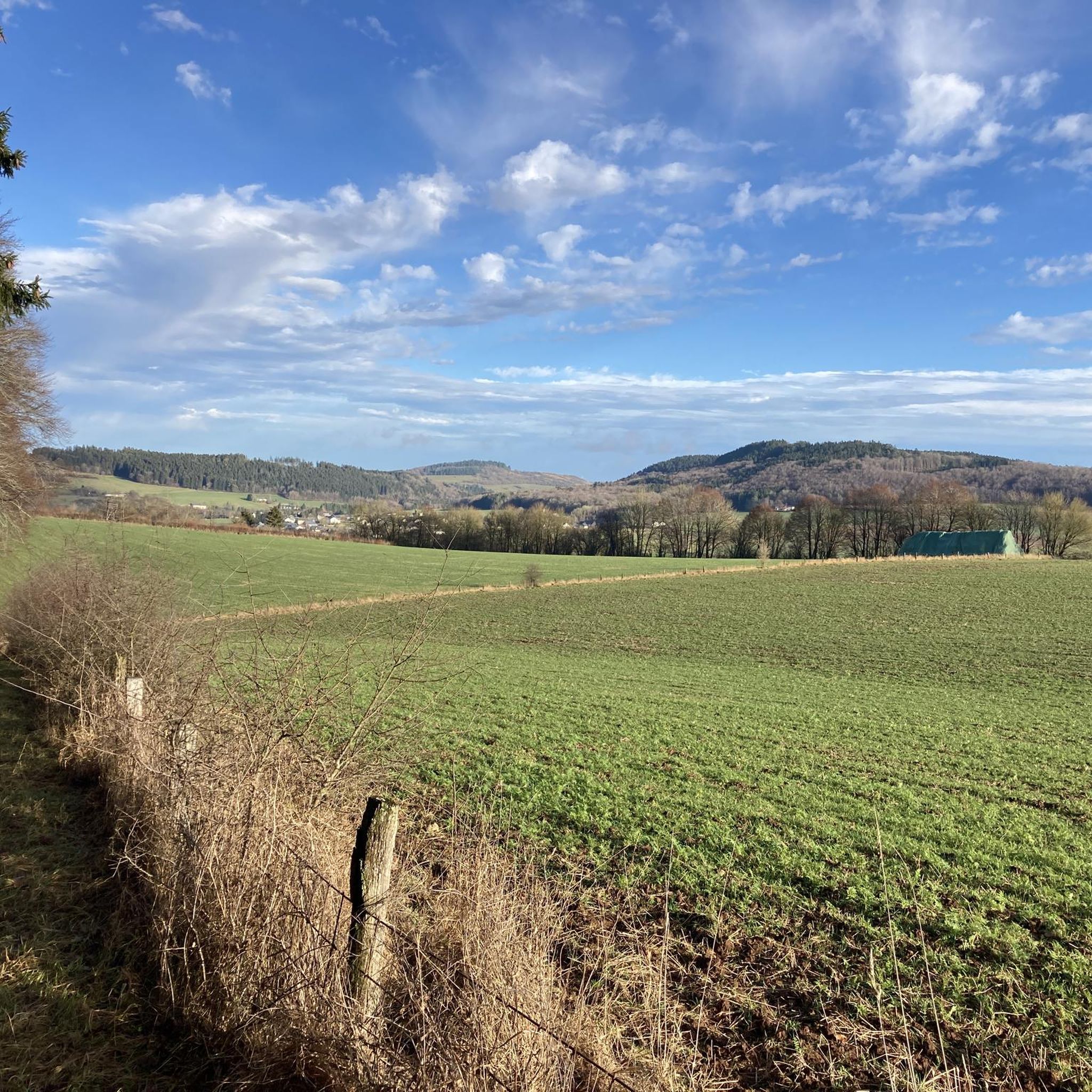
Great panoramic view overlooking Kasselburg Pelm
1
0

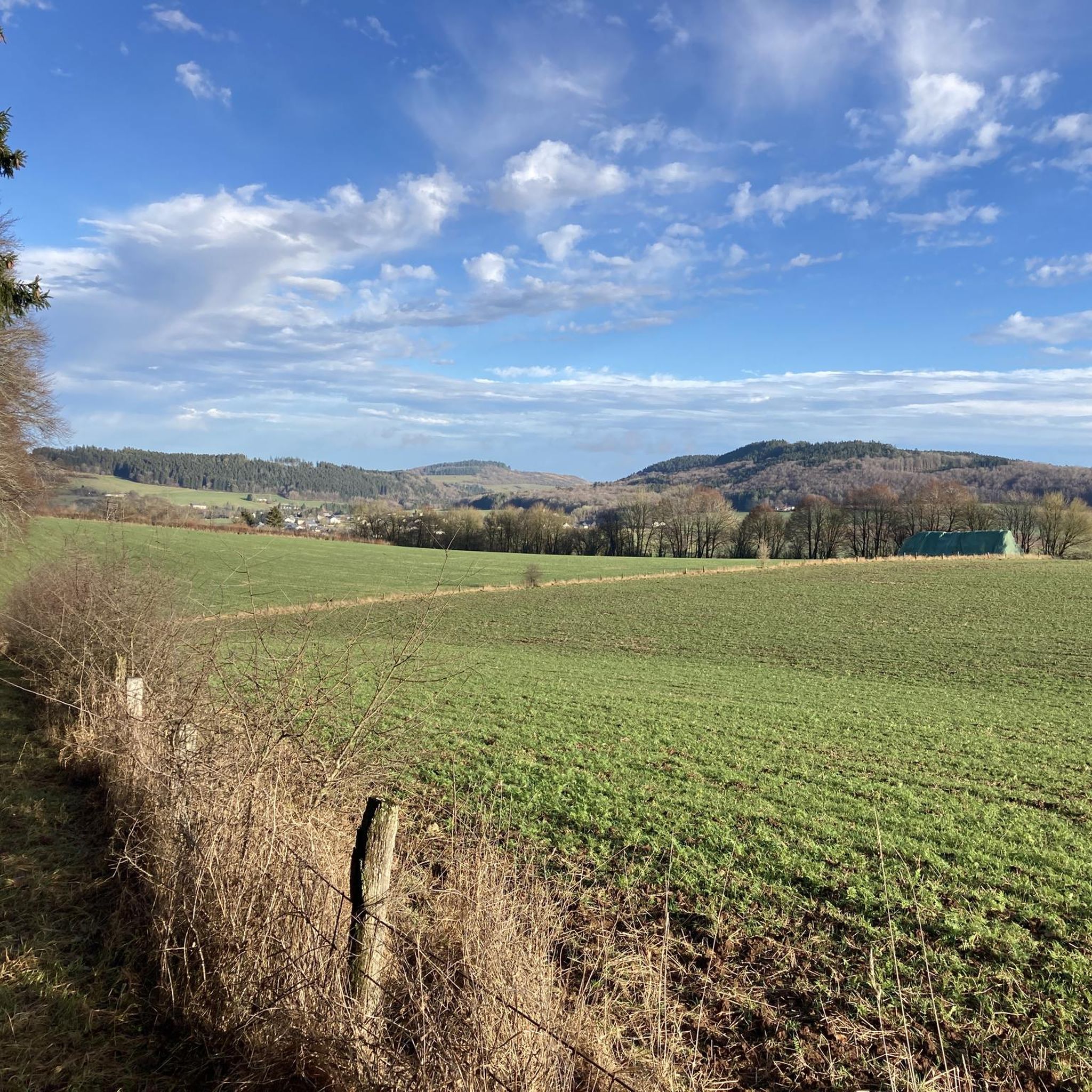
When the weather is good, you have a fantastic view over the hills of the Volcanic Eifel from here.
3
0

The view from here is phenomenal.
1
0

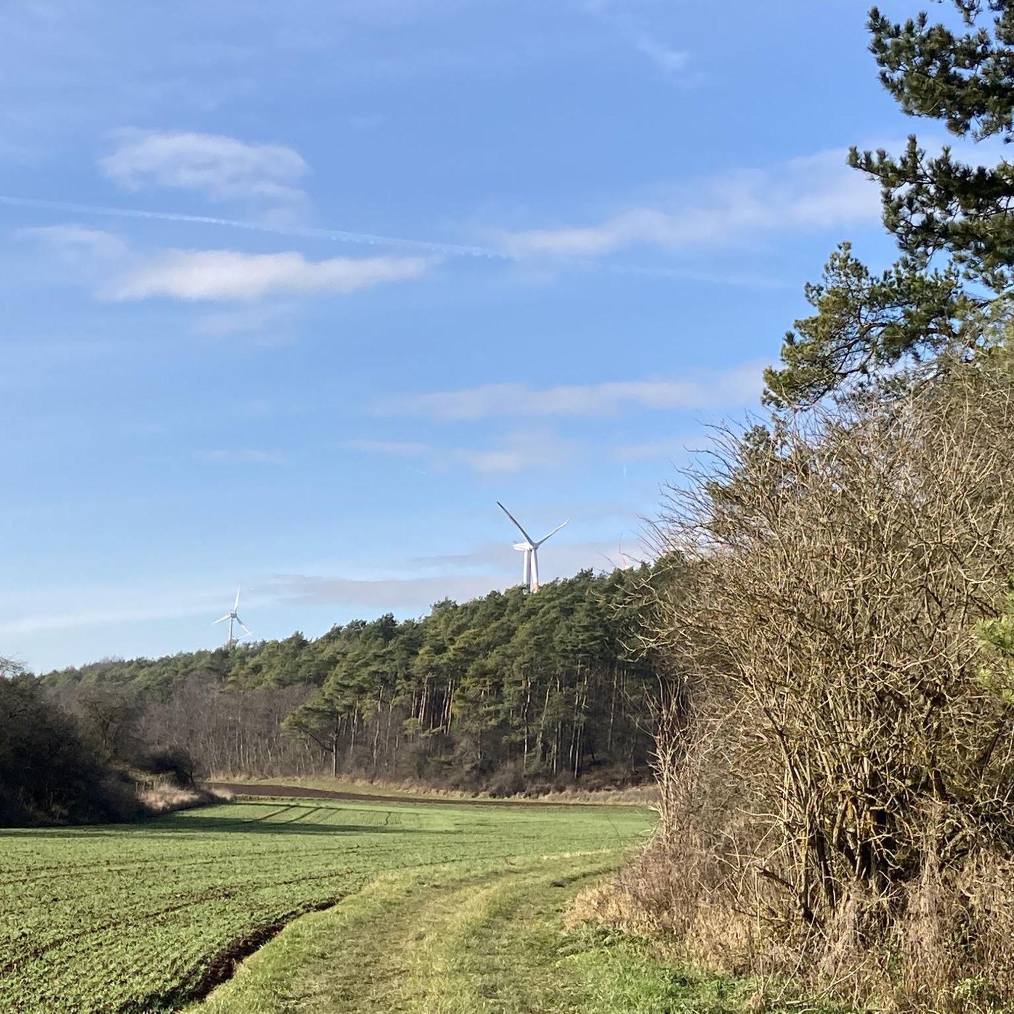
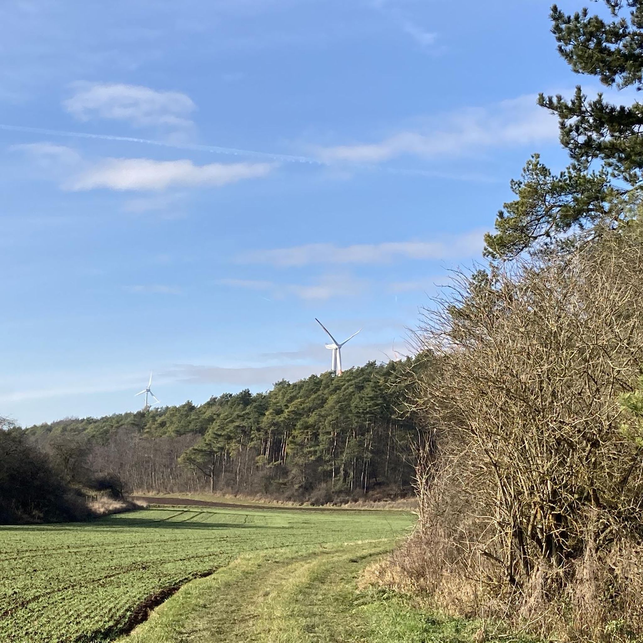
"To the west of the Langer Stein (640m) and Seimersberg (662m) we move to the Prümer Kopf. The gradients have so far proven to be very moderate, as they are today. In the surrounding spruce forest we repeatedly discover up to two meter high anthills ( https://www.das-tierlexikon.de/ameise/) and these are often surprisingly close together. We also encounter an unusually large number of hard-working dung beetles; we often have to be very careful not to step on them. (https://www .biologie-schule.de/mistkaefer-steckbrief.php)" https://www.komoot.de/tour/778942841
0
0

The Liberation Beech stands at the highest point of the Alter Foss mountain. According to the stories, it was a strategically important lookout point during the Thirty Years' War. From there you could see the towns of Pelm, Gerolstein, Rockeskyll, Hohenfels, Essingen, Betteldorf, Kirchweiler and Hinterweiler. https://kulturdb.de/einobjekt.php?id=48574
0
0

"With an area of approx. 102 hectares, the area around the Gerolsteiner Dolomites has been a nature reserve since 1990. + occurring animal species: bat + occurring plant species: juniper, orchids, character plants calcareous grassland, grove rush-beech forest, woodruff-beech forest, orchid-limestone-beech forest Around 380 million years ago there was a warm, subtropical shallow sea here, in which mighty reefs of stromatopores - relatives of sponges - and corals formed. After the dolomitization, sinking and folding of the rocks, the Devonian deposits were lifted out again. Today's Gerolsteiner Dolomites were formed, which rise steeply above the Kylltal north of the center of Gerolstein. The rocks "Hustley", "Munterley", "Drohende Ley", "Große Kanzel" and "Auberg" characterize the cityscape from afar and form the landmark of Gerolstein. The most famous summit of the Gerolsteiner Dolomites is the "Munterley" - with a height of 482 meters - and offers a breathtaking view over Gerolstein, the Kylltal and far into the Vulkaneifel. Stone Age people, who settled here 30,000 years ago, obviously enjoyed this view, as evidenced by stone tools and bones found at the nearby Buchenloch Cave. Visiting the Gerolsteiner Dolomites can be perfectly combined with hiking the Felsenpfad - the northern part of the "Gerolsteiner Dolomiten Acht". The almost eight-kilometer round tour offers many magical places and geological traces." https://www.eifel.info/a-gerolsteiner-dolomites
10
0

A mighty, beautiful building in the middle of the Eifel, including the building of the adjoining grammar school.
8
1

The Basilica of St. Salvator stands in Prüm, a town in the West Eifel region. In 721, the Frankish noblewoman Bertrada founded a monastery on her estate on the Prüm River with monks from Echternach. A second foundation was established in 752 by King Pippin, who had married a granddaughter of the first founder, with monks from Meaux near Paris, who lived according to the Rule of St. Benedict. In 1222, the monastery became the center of an independent principality, which was annexed by the Elector of Trier in 1576. The Elector and Archbishop of Trier then served as the abbot's administrator. Reconstruction of the abbey buildings began in 1721. As part of the Napoleonic secularization, the abbey was finally dissolved in 1802. Prüm, which initially belonged to the original parish of Rommersheim, was under the pastoral care of the Marienstift (St. Mary's Collegiate Church) from the mid-15th century. The Marienstift had been founded in 1016 by Abbot Urold of Prüm. The collegiate church became the parish church. In 1802, the monastery church became the parish church, and the collegiate church was demolished in 1826.
9
0
ビューデスハイムでのの人気観光スポット

komootモバイルアプリでインスピレーションを得よう


さらに探索
これらのガイドでさらに素晴らしい頂上を見てみましょうビューデスハイムでの:
